Elevation of 71 Deming Point Rd, Larrys River, NS B0H 1T0, Canada
Location: Canada > Nova Scotia > Guysborough County > Guysborough > Larrys River >
Longitude: -61.176839
Latitude: 45.221947
Elevation: 3m / 10feet
Barometric Pressure: 101KPa
Elevation Map:
Satellite Map:
Related Photos:
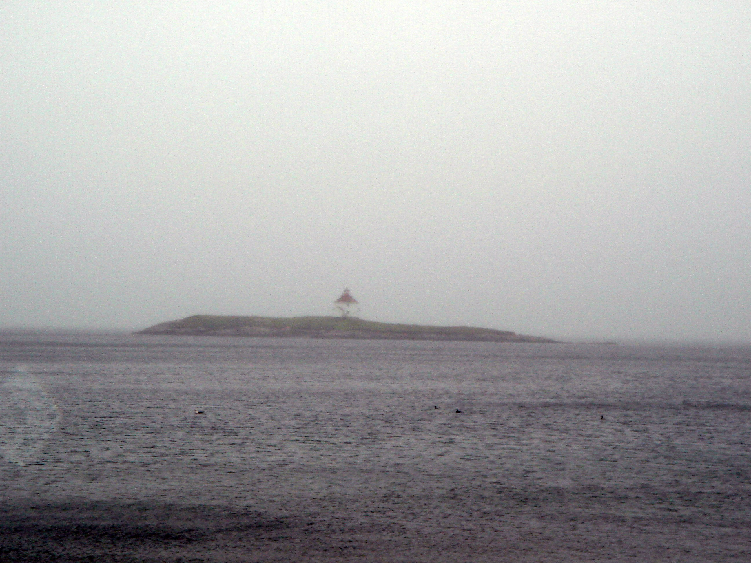
Queensport Lighthouse
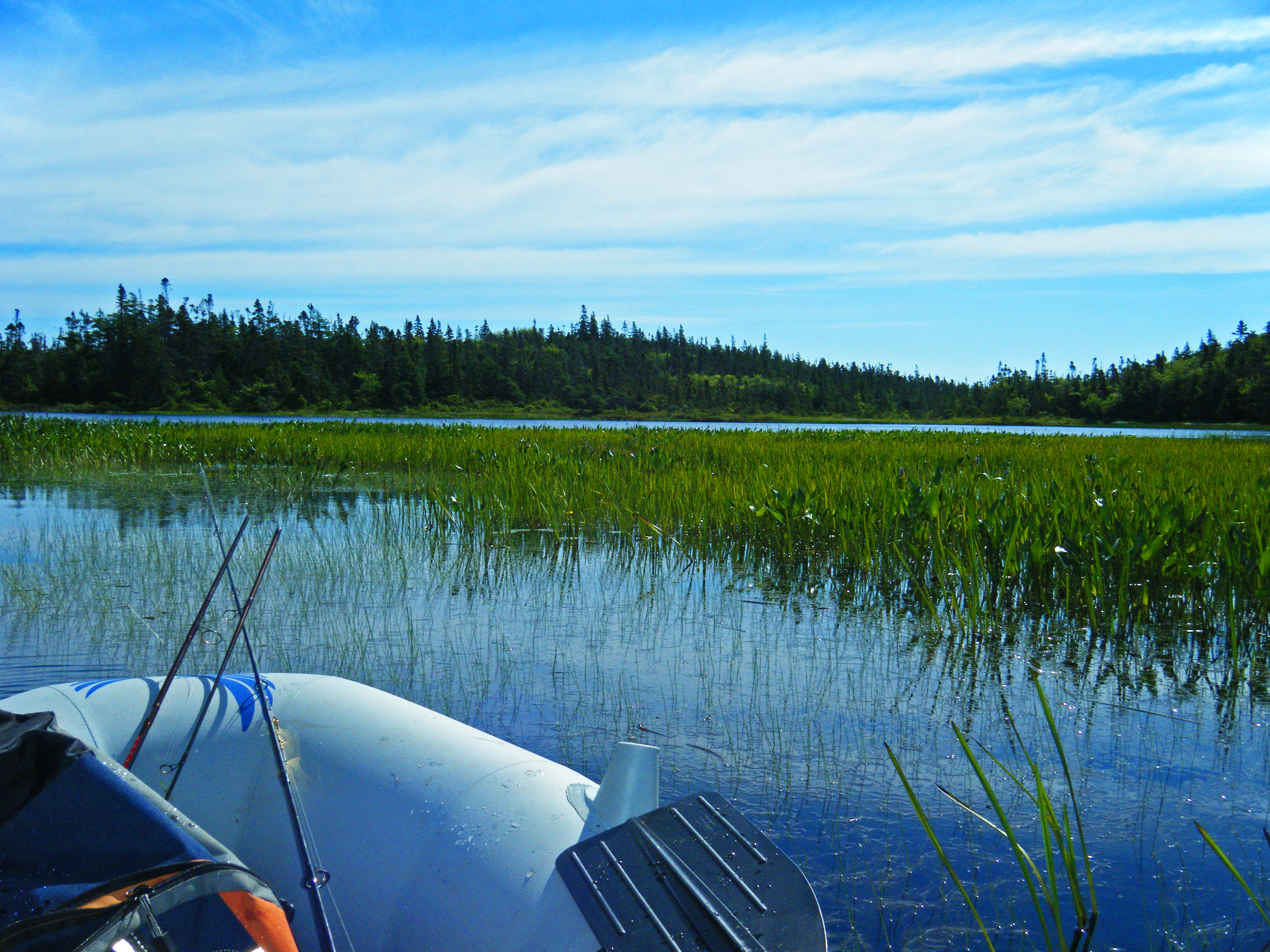
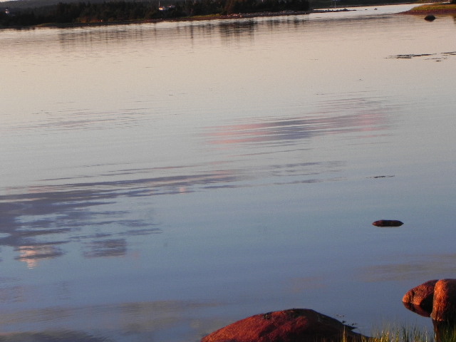
Cooeycoff Lake Stills
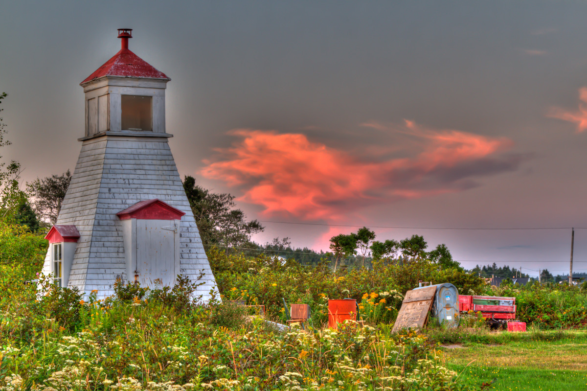
Charlos Harbour Lighthouse
Reflections of the Storm
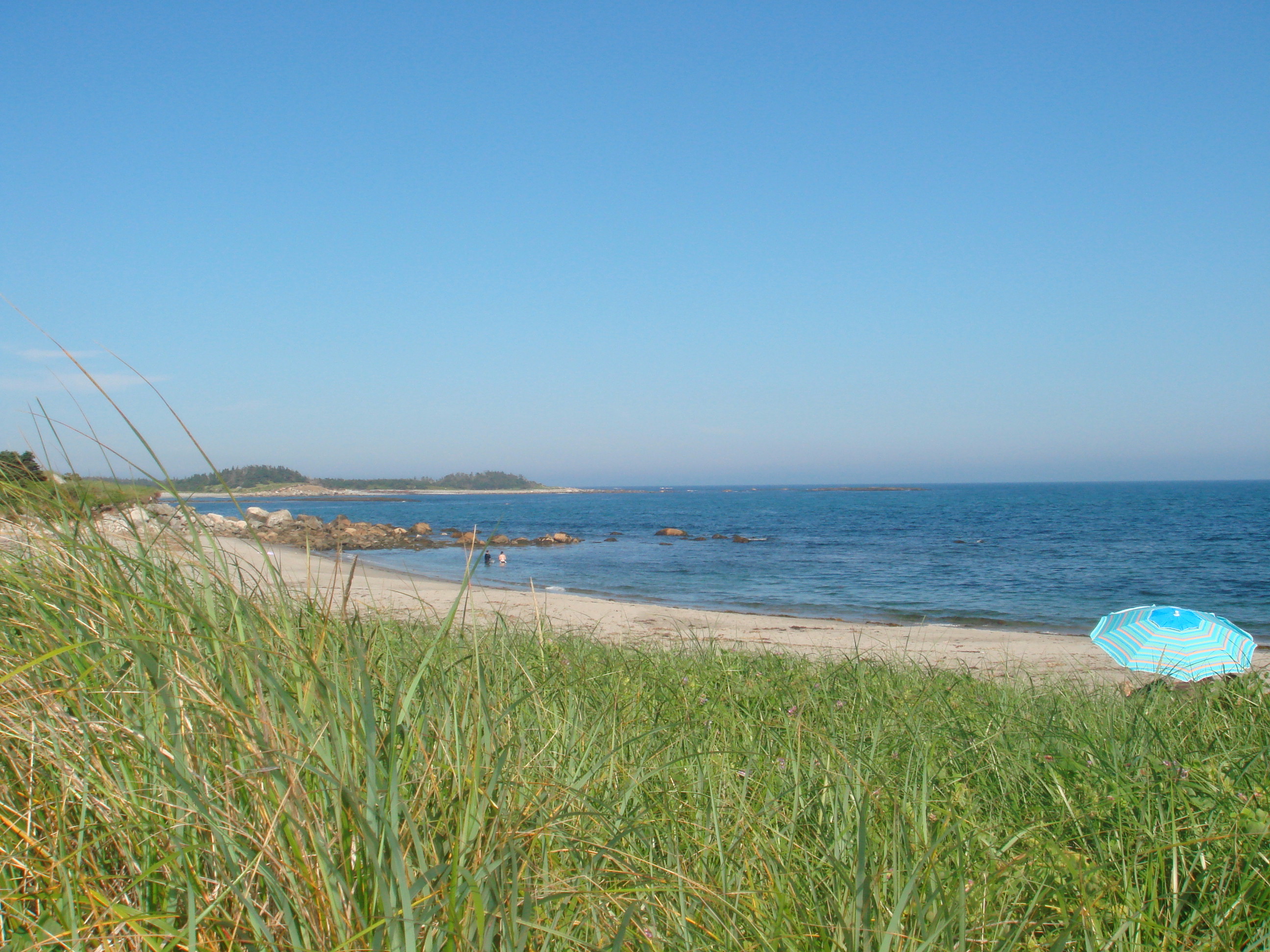
Tor Bay Beach
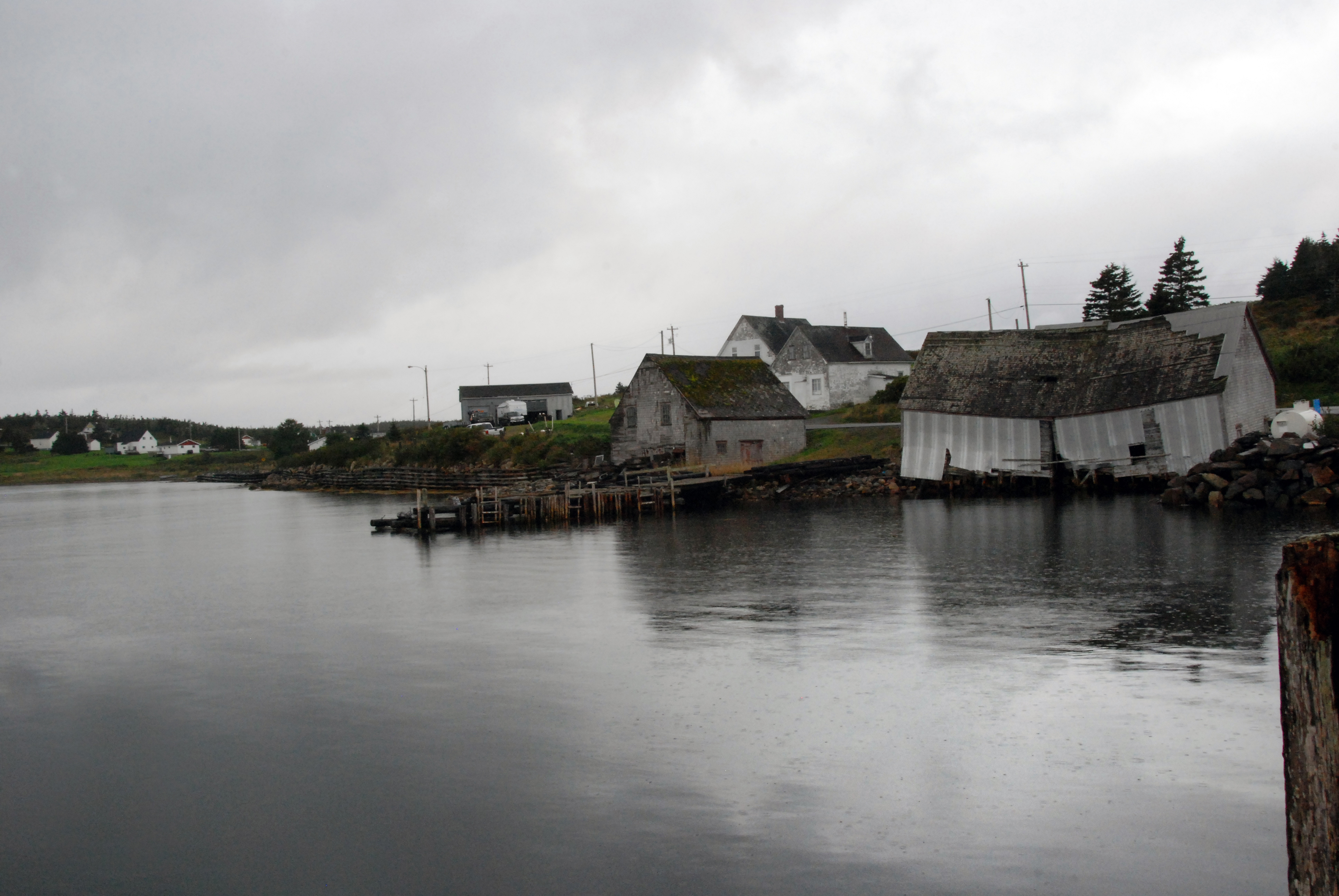
Fishing Village as the Storm Hit

Tor Bay Park
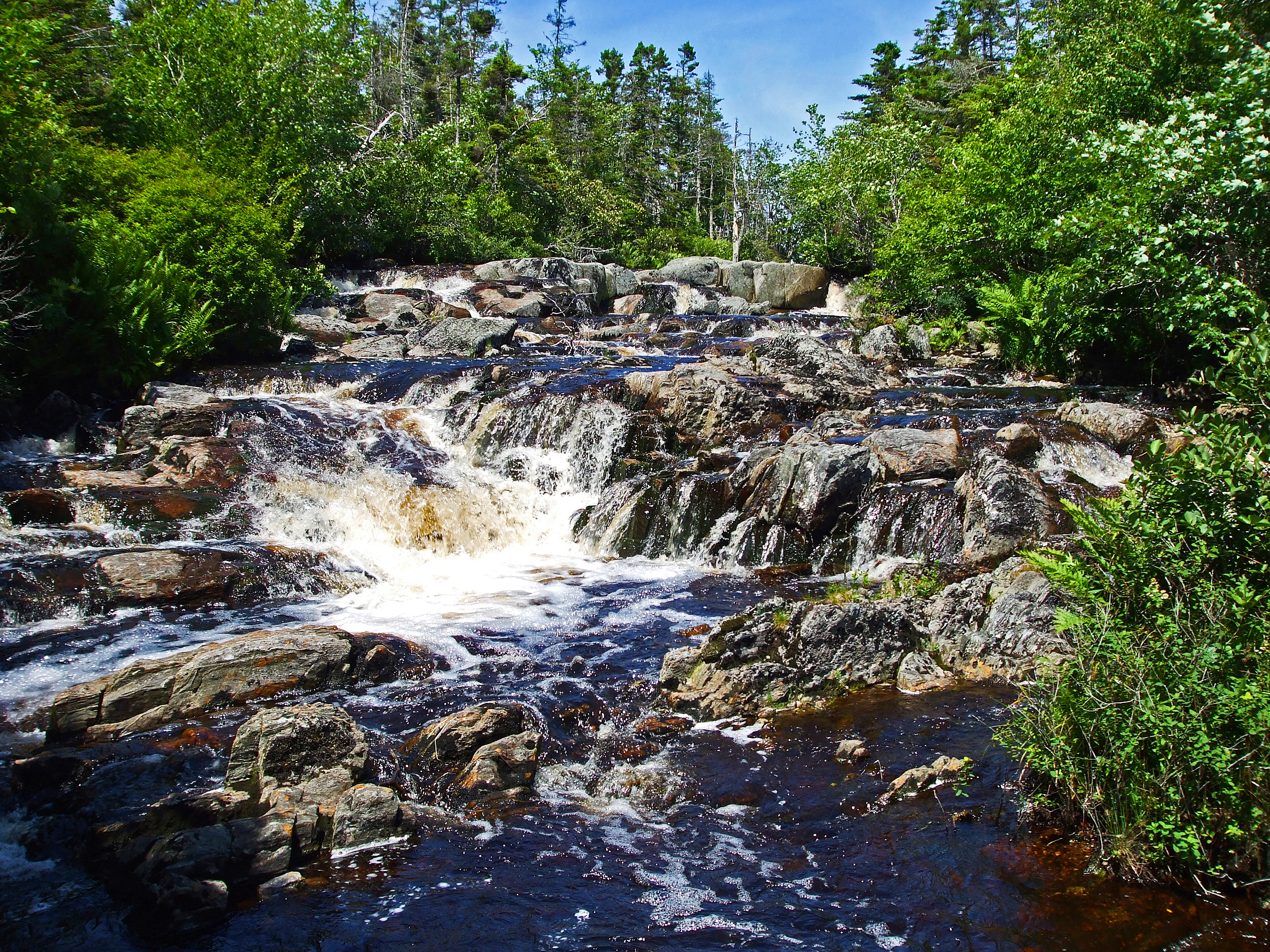
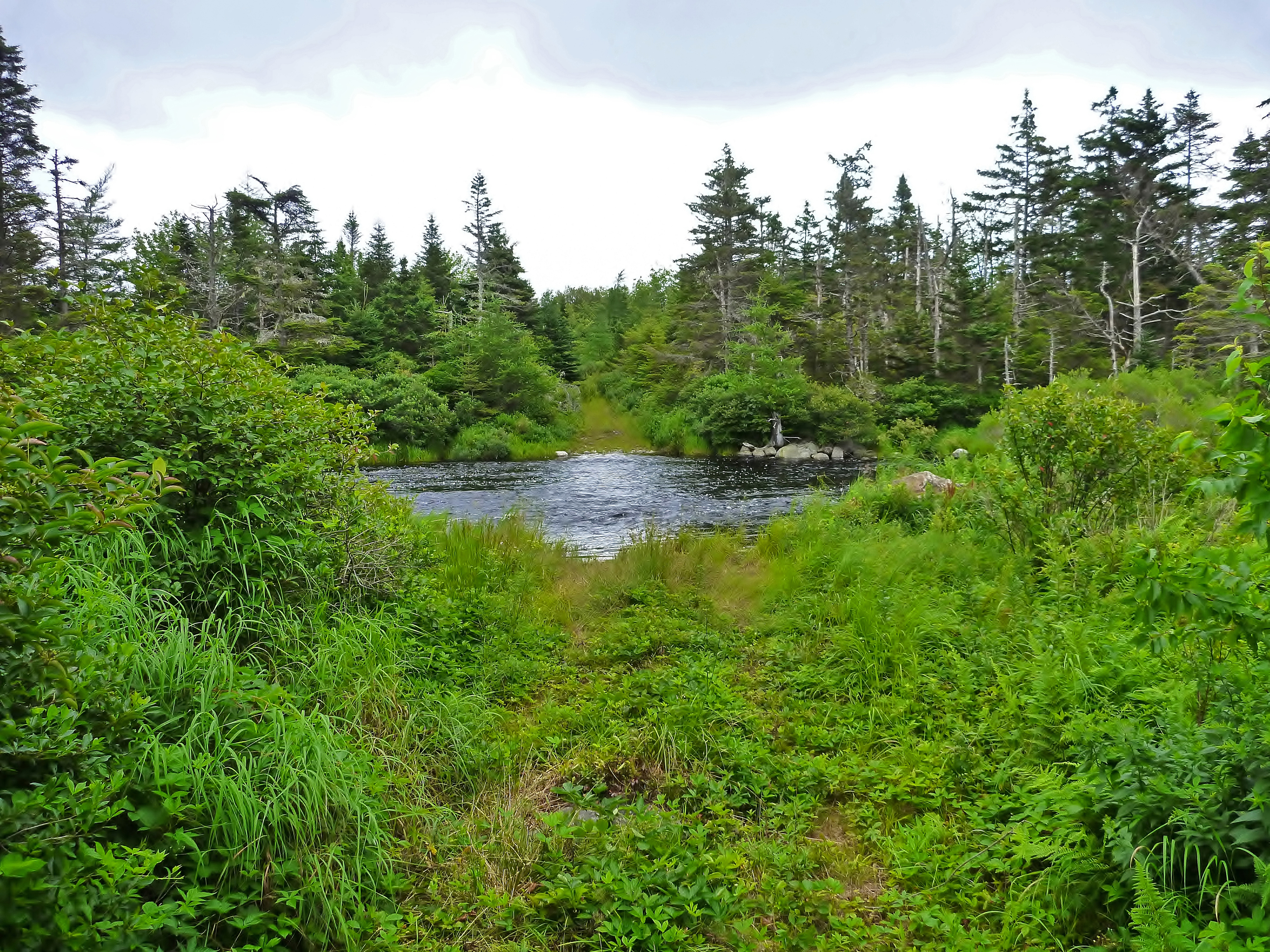
Cooeycoff Lake Falls
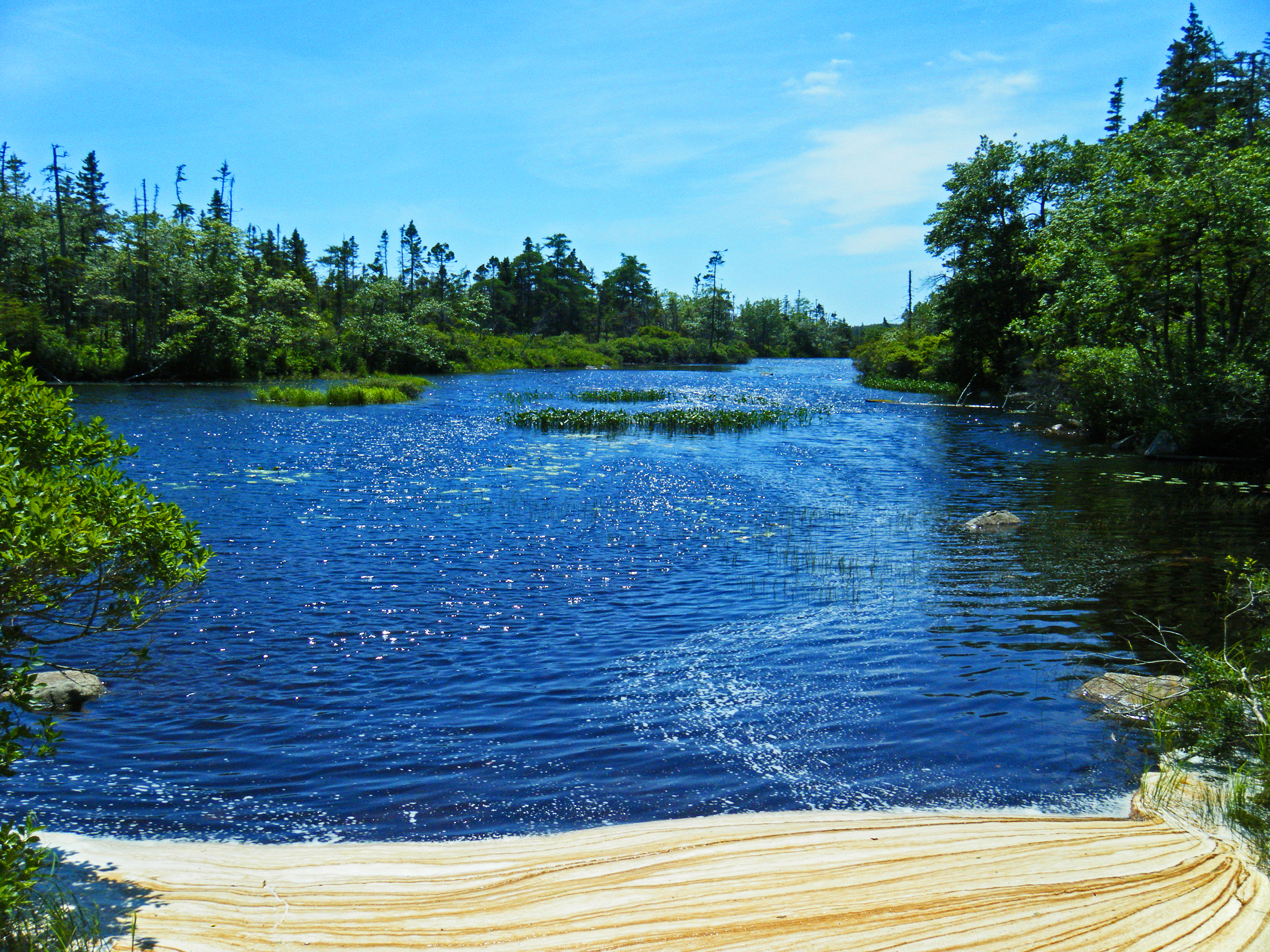
Sand Lake Stills (Below the Falls)
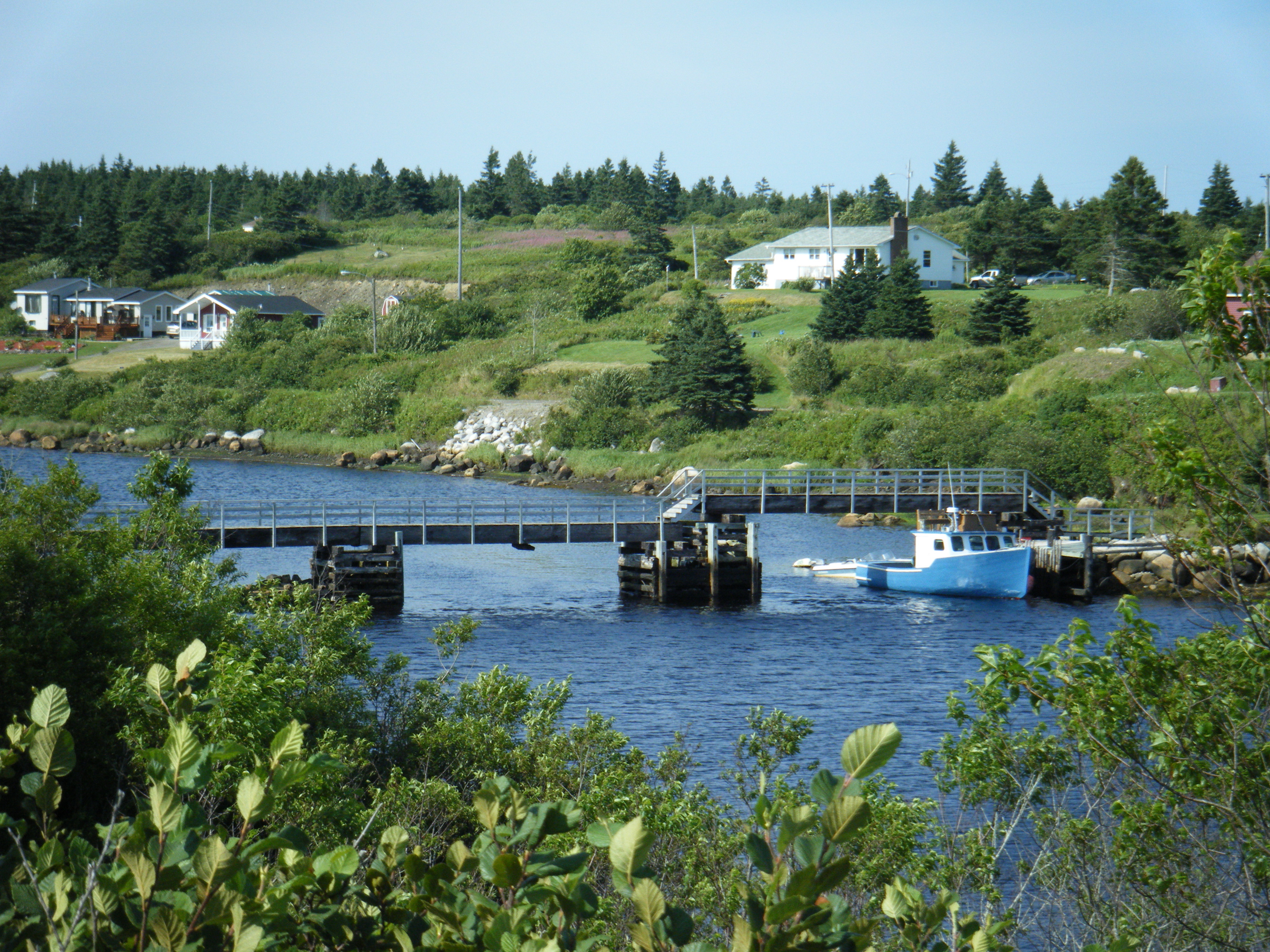
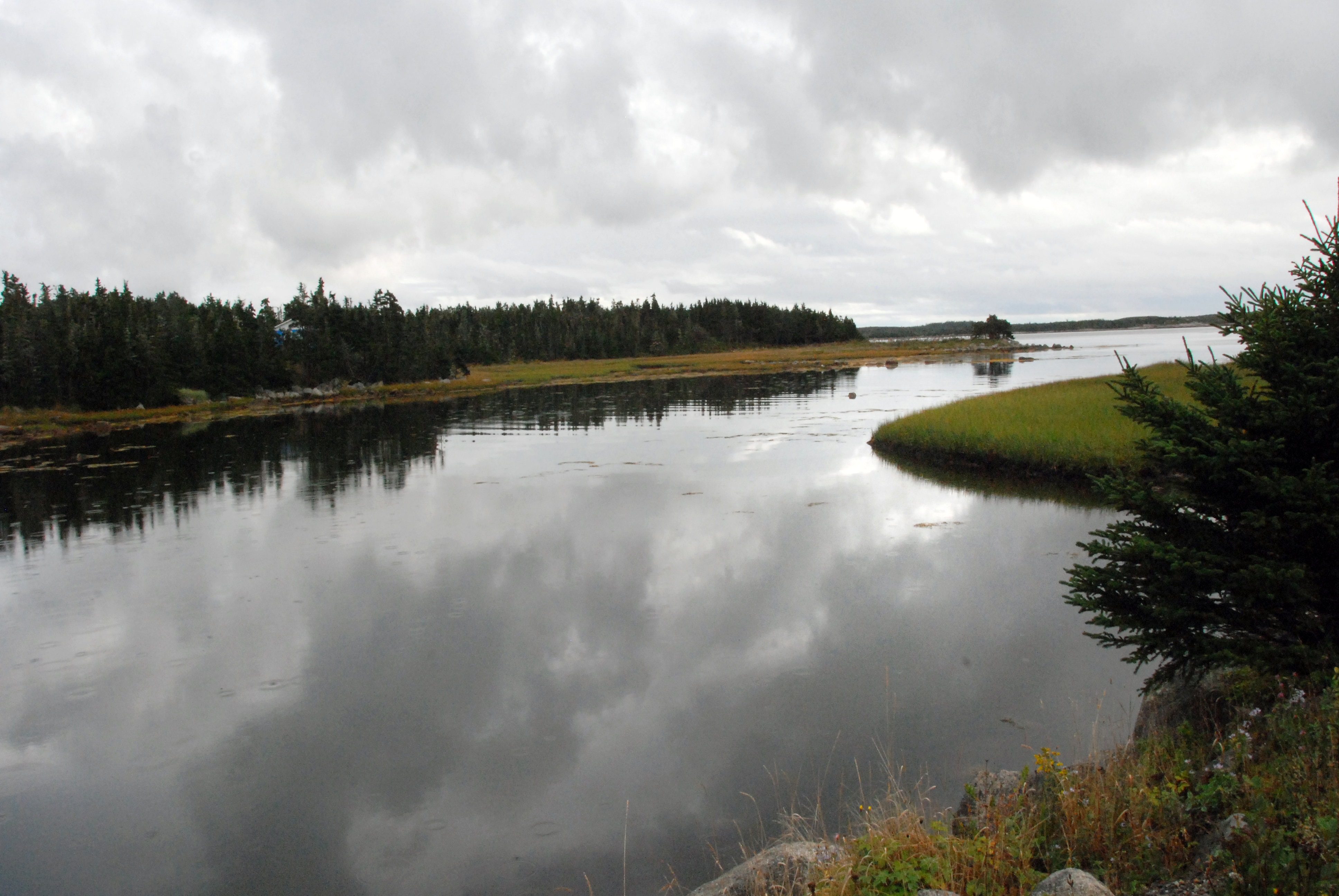
Larry's River Inlet
everthing is turning red
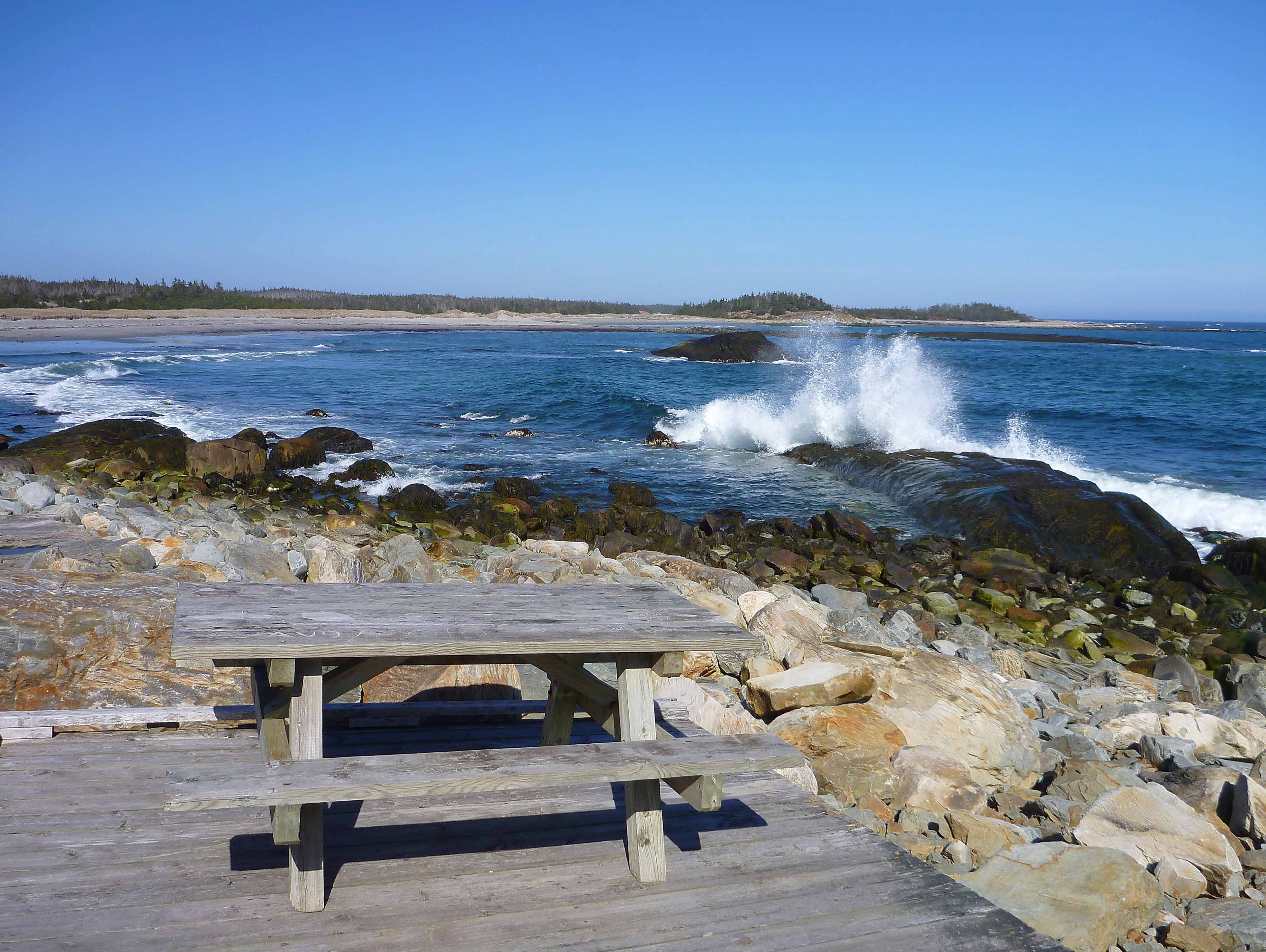
Tor Bay Park
Larry's River
Topographic Map of 71 Deming Point Rd, Larrys River, NS B0H 1T0, Canada
Find elevation by address:

Places near 71 Deming Point Rd, Larrys River, NS B0H 1T0, Canada:
Cole Harbour Rd, Larrys River, NS B0H 1T0, Canada
Dover Rd, Little Dover, NS B0H 1V0, Canada
Queensport
Larrys River
1309 Union St
Canso
Union St, Canso, NS B0H 1H0, Canada
Union St, Canso, NS B0H 1H0, Canada
Piscatiqui Island
NS-, Boylston, NS B0H 1G0, Canada
B0h 1n0
NS-, Mulgrave, NS B0E 2G0, Canada
Janvrin Harbour Rd, West Arichat, NS B0E 3J0, Canada
West Arichat
Janvrin Harbour Rd, West Arichat, NS B0E 3J0, Canada
2209 Larrys River Rd
New Harbour Lundy Rd, Larrys River, NS B0H 1T0, Canada
Richmond, Subd. C
Guysborough
Arichat
Recent Searches:
- Elevation of Royal Ontario Museum, Queens Park, Toronto, ON M5S 2C6, Canada
- Elevation of Groblershoop, South Africa
- Elevation of Power Generation Enterprises | Industrial Diesel Generators, Oak Ave, Canyon Country, CA, USA
- Elevation of Chesaw Rd, Oroville, WA, USA
- Elevation of N, Mt Pleasant, UT, USA
- Elevation of 6 Rue Jules Ferry, Beausoleil, France
- Elevation of Sattva Horizon, 4JC6+G9P, Vinayak Nagar, Kattigenahalli, Bengaluru, Karnataka, India
- Elevation of Great Brook Sports, Gold Star Hwy, Groton, CT, USA
- Elevation of 10 Mountain Laurels Dr, Nashua, NH, USA
- Elevation of 16 Gilboa Ln, Nashua, NH, USA