Elevation of Janvrin Harbour Rd, West Arichat, NS B0E 3J0, Canada
Location: Canada > Nova Scotia > Richmond County > Richmond, Subd. C > West Arichat >
Longitude: -61.169139
Latitude: 45.533744
Elevation: 23m / 75feet
Barometric Pressure: 101KPa
Elevation Map:
Satellite Map:
Related Photos:
Detail, Fort Anne battlements
Richmond Academy Homestay Houses
Eddy Point Rear Range
Port Hawkesbury
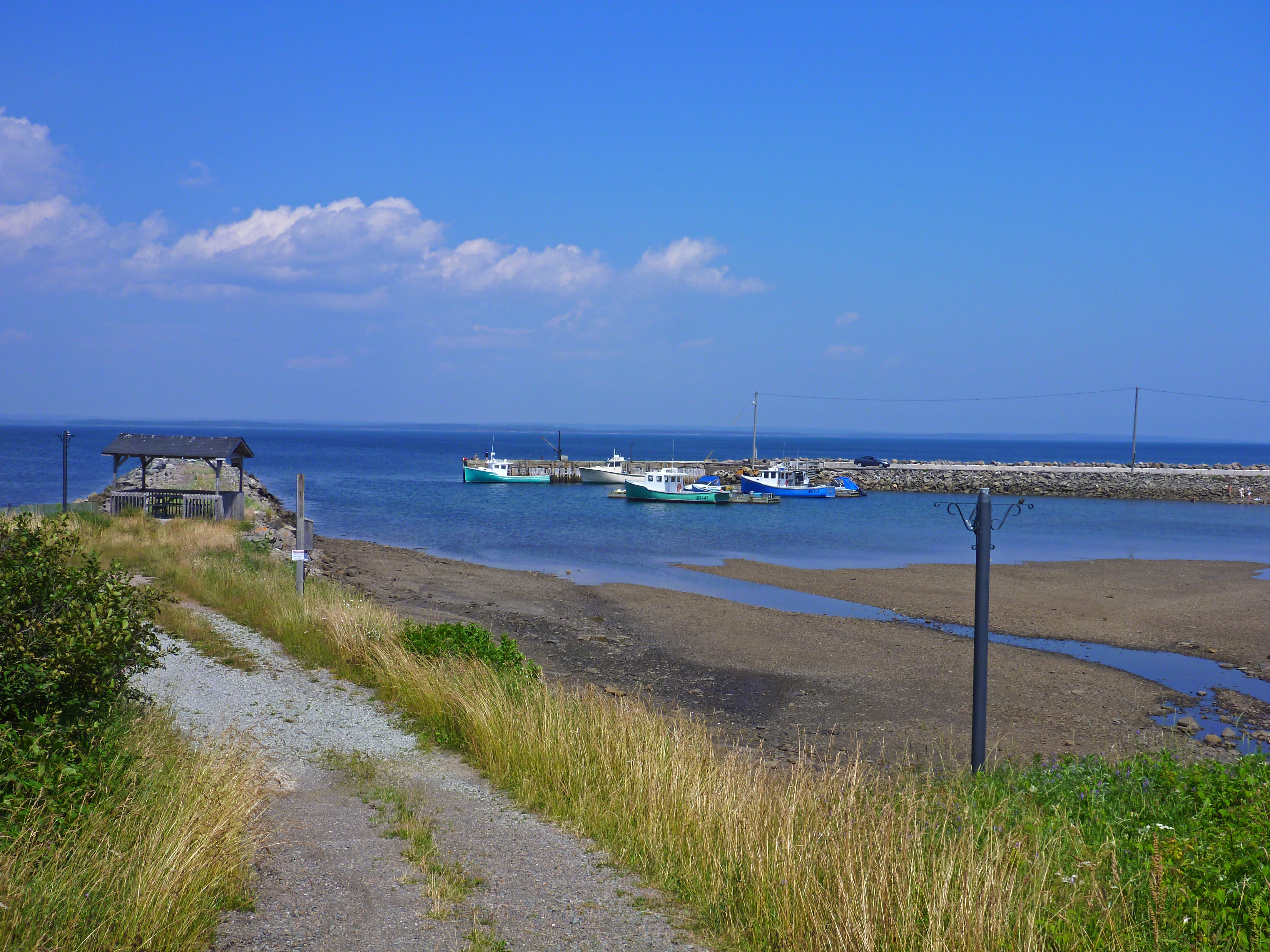
Eddie Point Wharf, Guysborough County, Nova Scotia (1)
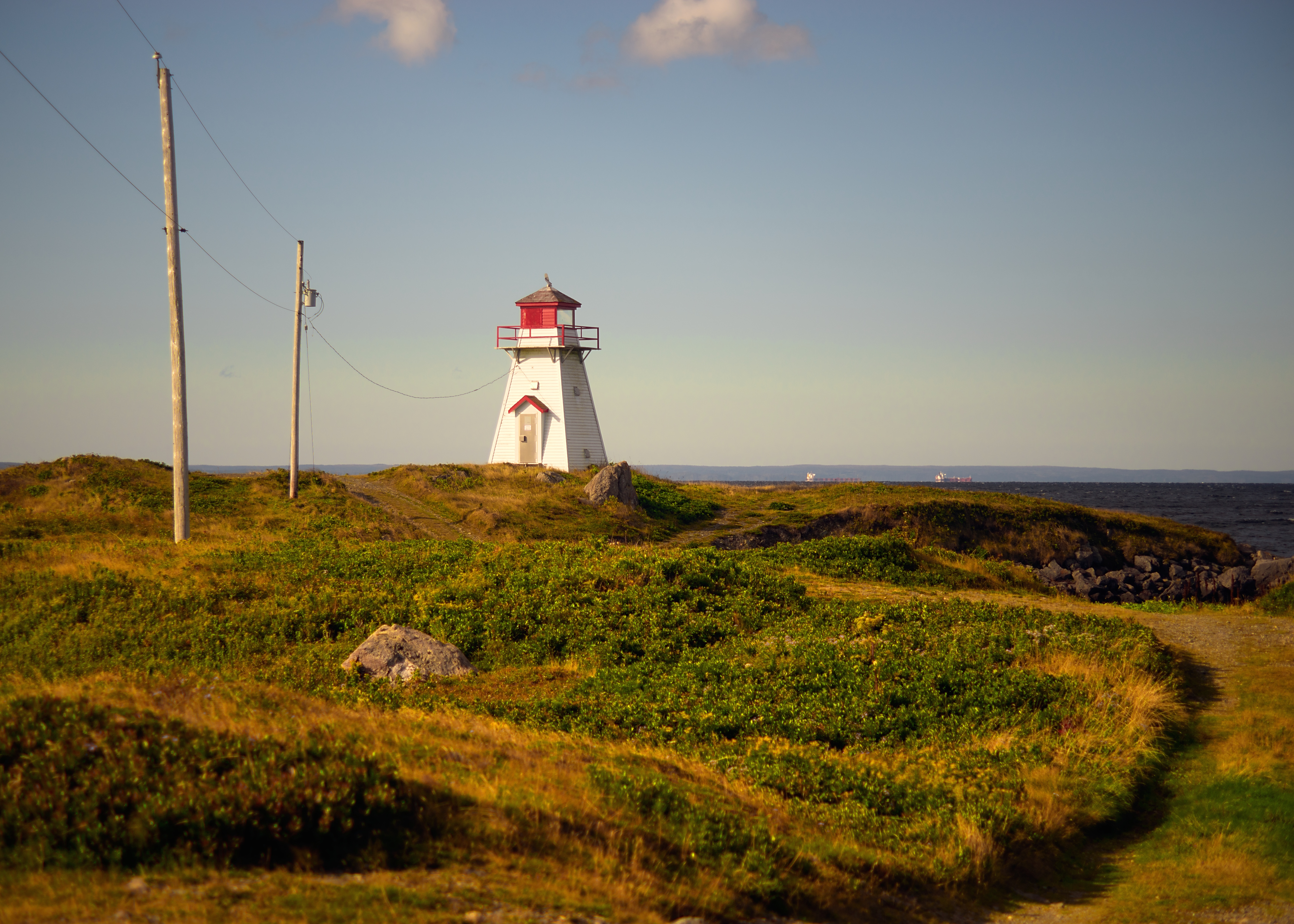
Marache Point light

Port Hawkesbury & Stellarton Valentine's (2016) Happy (Late) Valentine's Day! ???? #year2016 #2016 #creativework #surfingthesea #canadianboys #porthawkesbury #stellarton #love #valentines #valentinesday #valentinesday2016
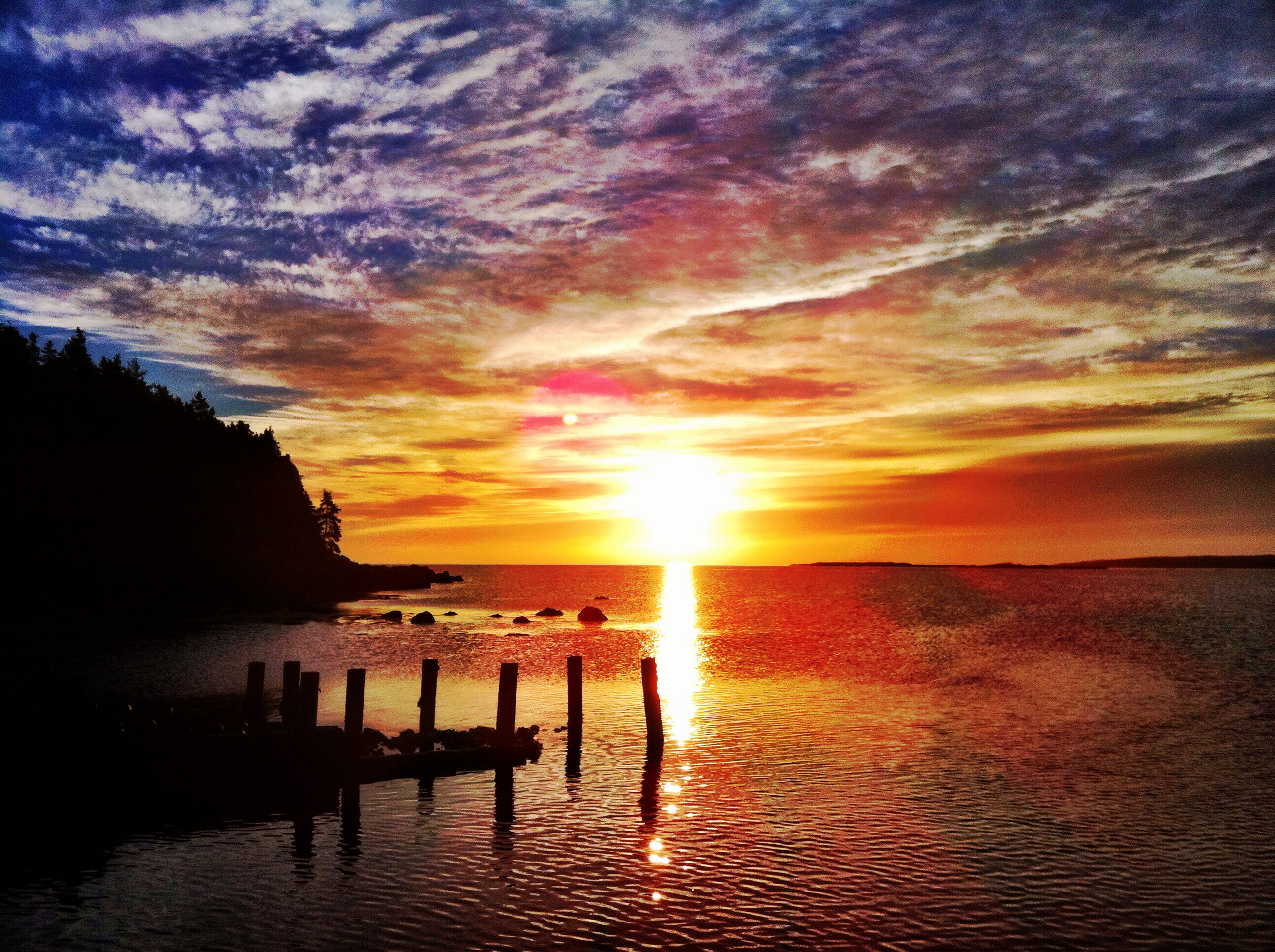
Isle Madame sunrise

Home away home in Richmond 노바스코샤
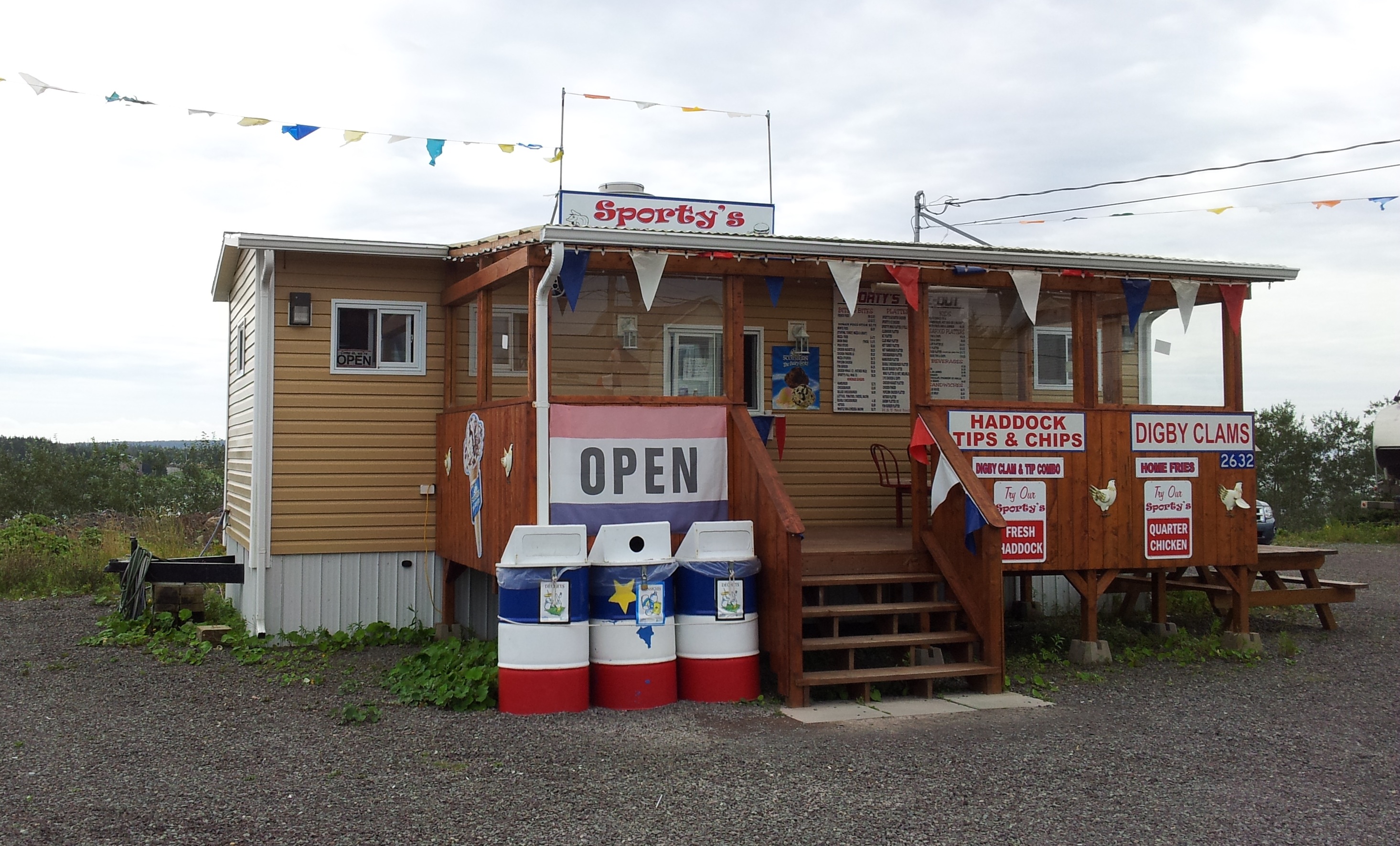
Sporty's Take-Out

Eliza 3

Wind Turbine

Another Isle Madam Lighthouse
Topographic Map of Janvrin Harbour Rd, West Arichat, NS B0E 3J0, Canada
Find elevation by address:

Places near Janvrin Harbour Rd, West Arichat, NS B0E 3J0, Canada:
Janvrin Harbour Rd, West Arichat, NS B0E 3J0, Canada
NS-, Mulgrave, NS B0E 2G0, Canada
West Arichat
Shannon Lake
3 Macleod Rd, Cleveland, NS B0E 1J0, Canada
78 Rogers Rd, D'Escousse, NS B0E 1K0, Canada
Richmond, Subd. C
Louisdale
Martinique
21 Black River Rd, Louisdale, NS B0E 1V0, Canada
Cleveland
11 County Line Rd, Cleveland, NS B0E 1J0, Canada
99 Grandique Rd
Arichat
NS-4, Melville, NS B9A 1Y2, Canada
Lochside Rd, D'Escousse, NS B0E 1K0, Canada
NS-, Boylston, NS B0H 1G0, Canada
Veteran's Memorial Dr, Arichat, NS B0E 1A0, Canada
Melville
B9a
Recent Searches:
- Elevation of Congressional Dr, Stevensville, MD, USA
- Elevation of Bellview Rd, McLean, VA, USA
- Elevation of Stage Island Rd, Chatham, MA, USA
- Elevation of Shibuya Scramble Crossing, 21 Udagawacho, Shibuya City, Tokyo -, Japan
- Elevation of Jadagoniai, Kaunas District Municipality, Lithuania
- Elevation of Pagonija rock, Kranto 7-oji g. 8"N, Kaunas, Lithuania
- Elevation of Co Rd 87, Jamestown, CO, USA
- Elevation of Tenjo, Cundinamarca, Colombia
- Elevation of Côte-des-Neiges, Montreal, QC H4A 3J6, Canada
- Elevation of Bobcat Dr, Helena, MT, USA