Elevation of Lochside Rd, D'Escousse, NS B0E 1K0, Canada
Location: Canada > Nova Scotia > Richmond County > Richmond, Subd. C > D'escousse >
Longitude: -60.999906
Latitude: 45.5448
Elevation: 10m / 33feet
Barometric Pressure: 101KPa
Elevation Map:
Satellite Map:
Related Photos:
Detail, Fort Anne battlements
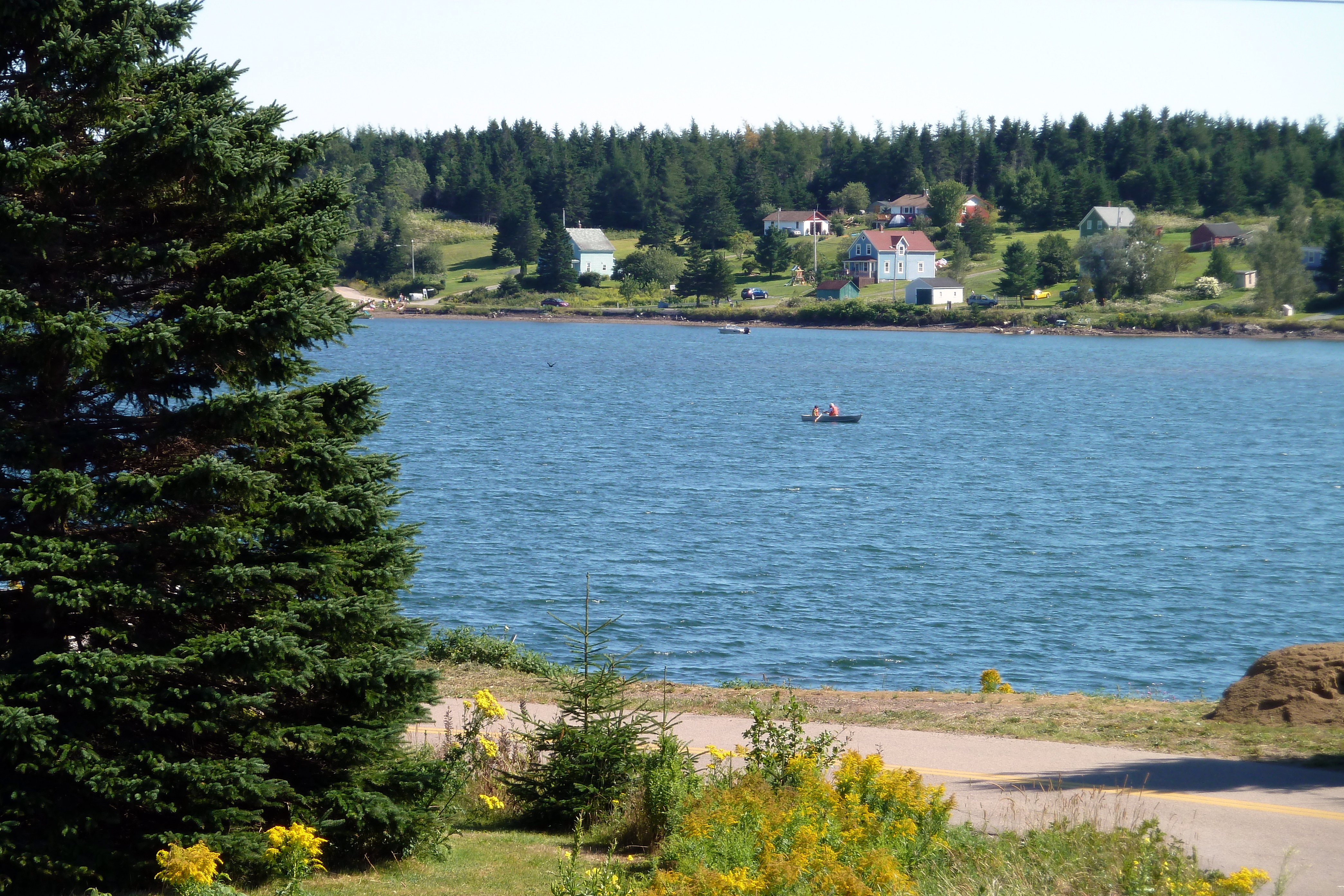
2.006 View Across the Lake
Richmond Academy Homestay Houses
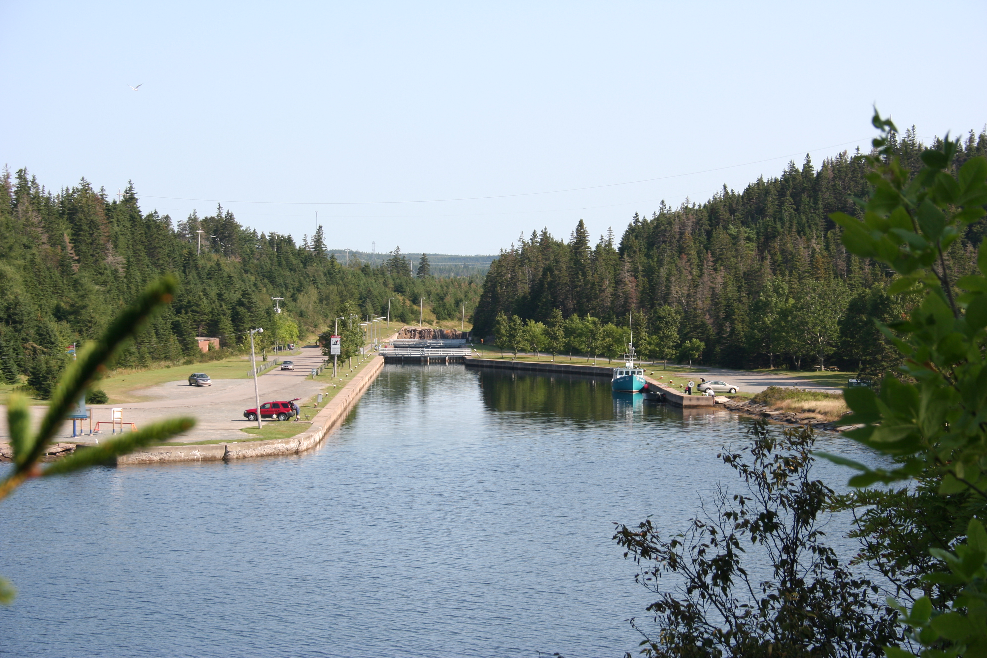
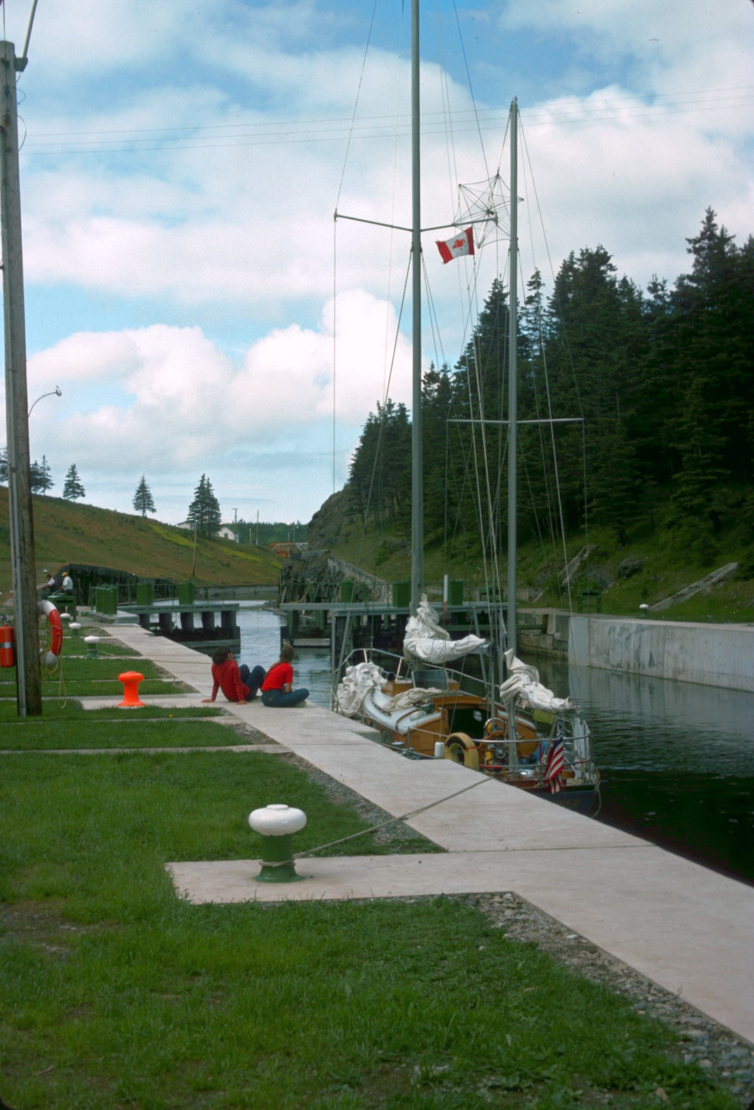
St.Peter's Canal
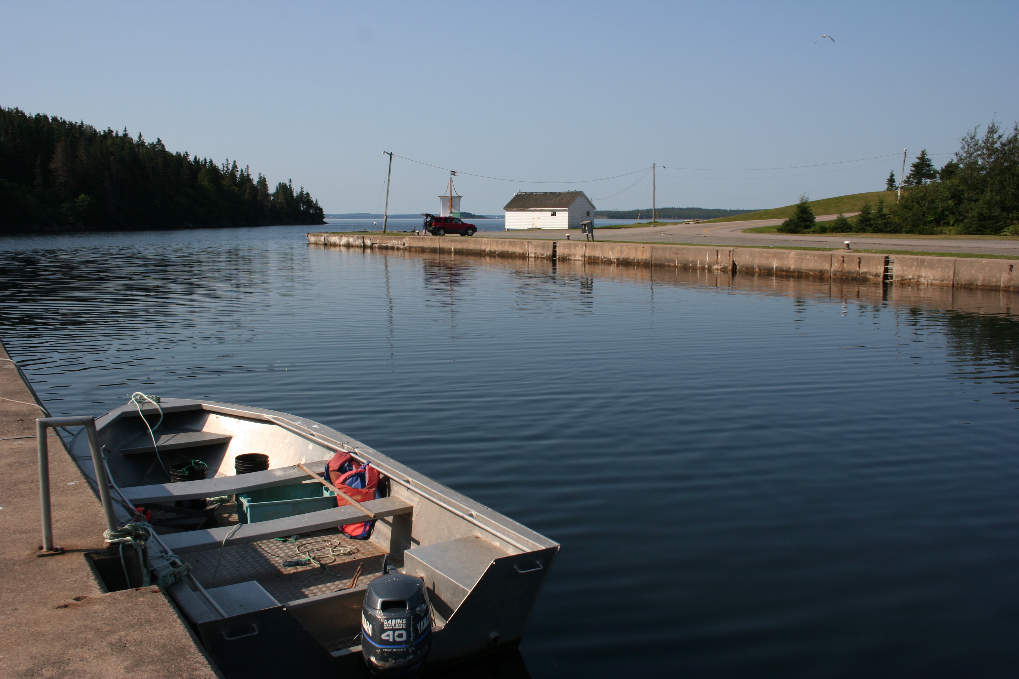
2.005 Rowing the Lake
St.Peter's Canal
Cap La Ronde

St Peter s Canal, Cape Breton NS
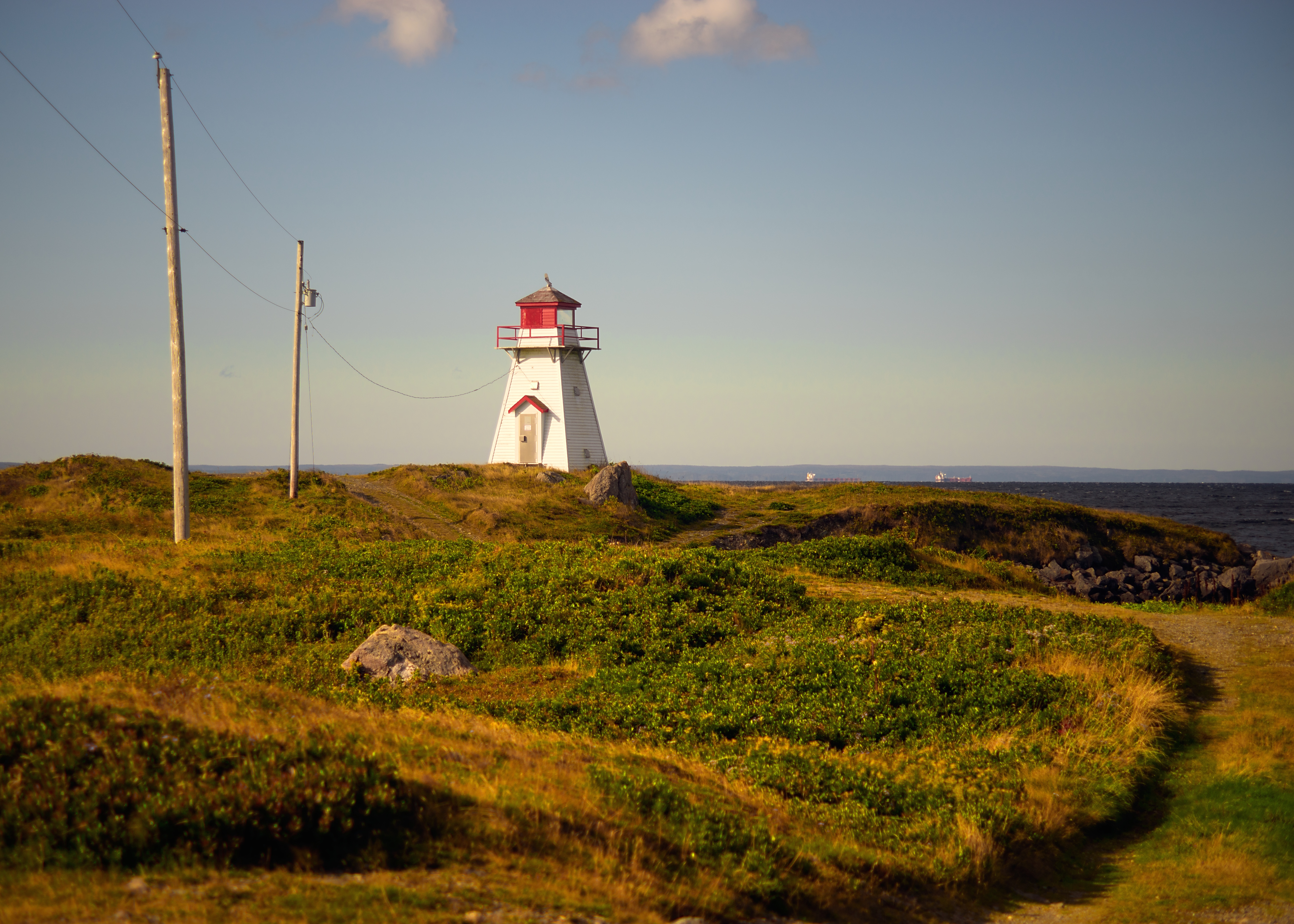
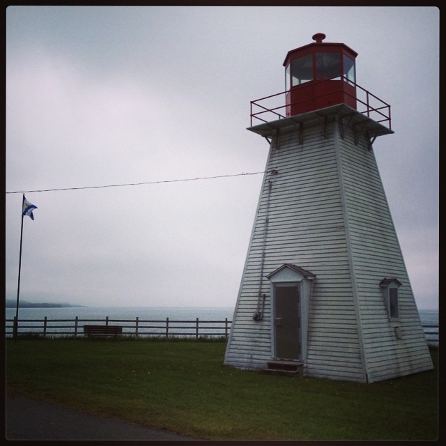
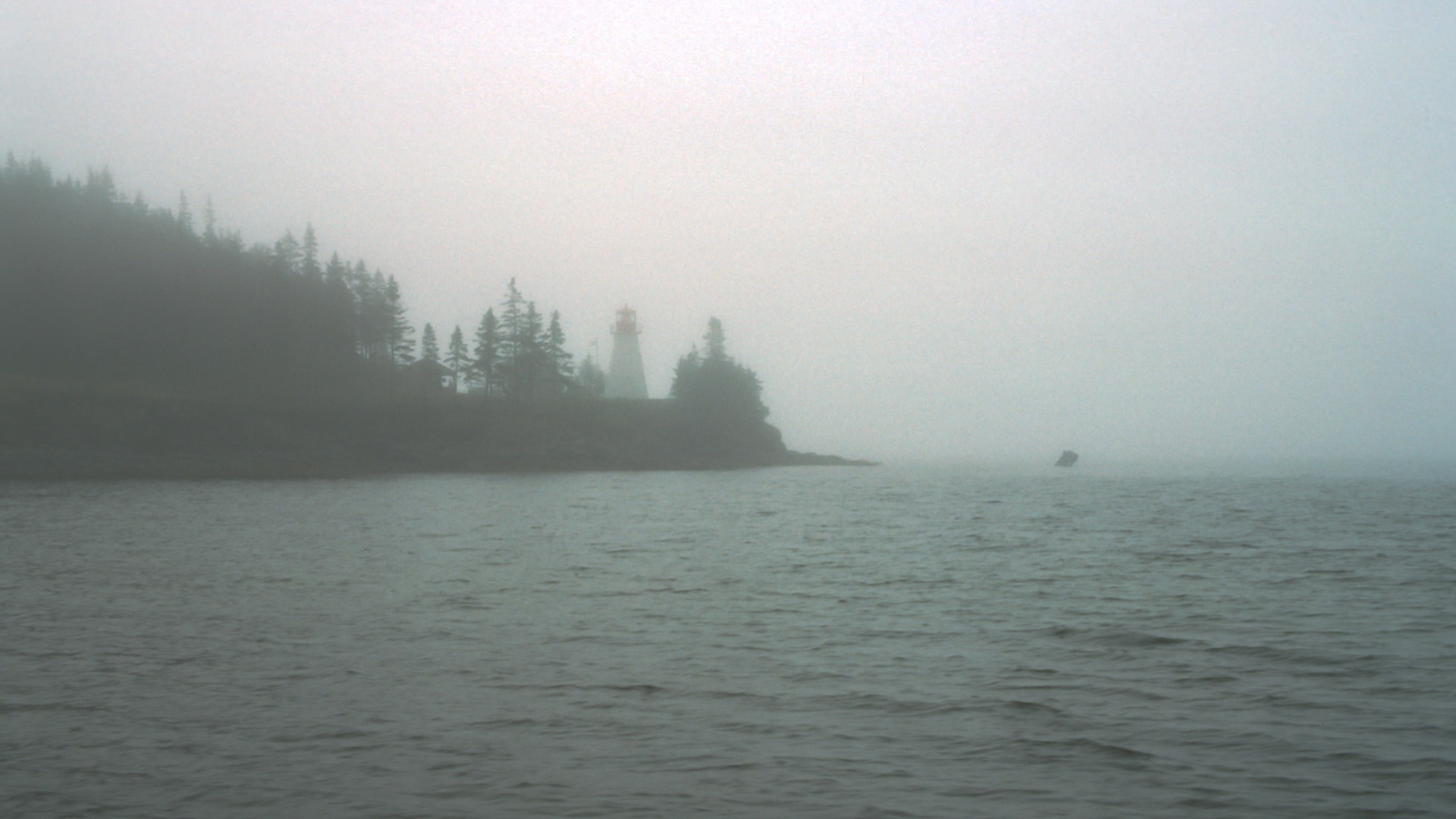
Marache Point light
Lighthouse, Battery Provincial Park, Nova Scotia #explorecanada #ocanada #shutterbugging #roadtrip #novascotia #maritimes
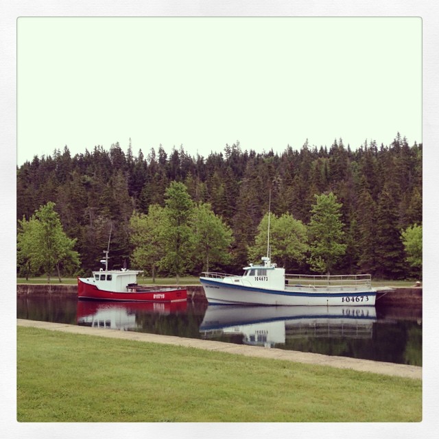
Bateaux, along St. Peters Canal... #novascotia #maritimes #roadtrip #shutterbugging #summer #explorecanada #ocanada
St. Peters Canal links the Atlantic Ocean w/ Bras d'Or Lake, etc. #novascotia #maritimes #ocanada #shutterbugging #roadtrip
House at Cape Breton Island

Lunch!!
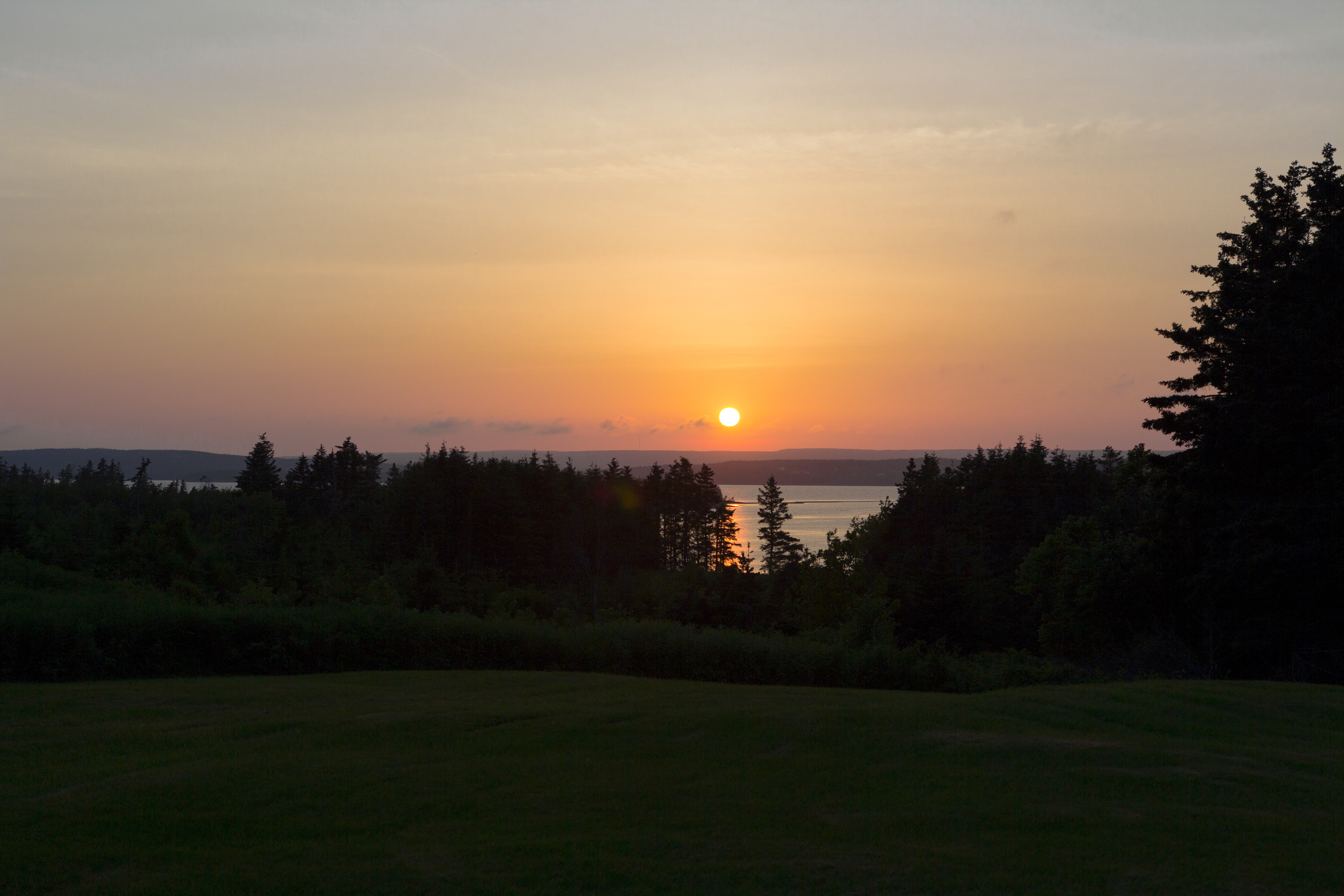
Isle Madame sunrise
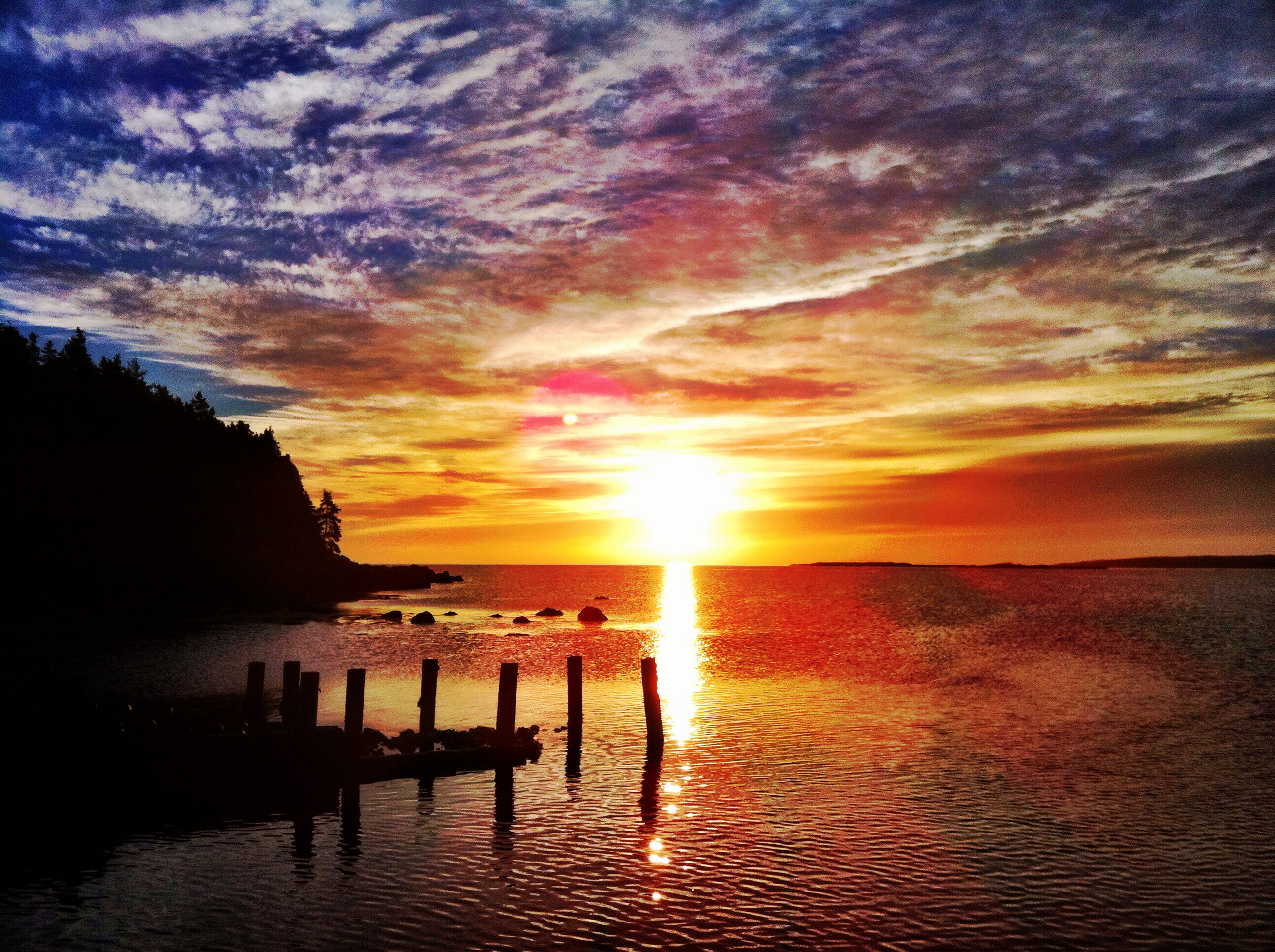
Sunset over St Peters
St Peter's Light
St Peter's Canal
St Peter's Canal
Topographic Map of Lochside Rd, D'Escousse, NS B0E 1K0, Canada
Find elevation by address:

Places near Lochside Rd, D'Escousse, NS B0E 1K0, Canada:
99 Grandique Rd
Arichat
Veteran's Memorial Dr, Arichat, NS B0E 1A0, Canada
66 Fougere Point Rd, Arichat, NS B0E 1A0, Canada
Richmond, Subd. C
D'escousse
Martinique
83 Sampsons Cove Rd, Sampson Cove, NS B0E 3C0, Canada
78 Rogers Rd, D'Escousse, NS B0E 1K0, Canada
West Arichat
Louisdale
21 Black River Rd, Louisdale, NS B0E 1V0, Canada
River Bourgeois
17 Morrison Rd, St. Peter's, NS B0E 3B0, Canada
Shannon Lake
Richmond, Subd. A
Janvrin Harbour Rd, West Arichat, NS B0E 3J0, Canada
Saint Peter's
Janvrin Harbour Rd, West Arichat, NS B0E 3J0, Canada
W Bay Hwy, St. Peter's, NS B0E 3B0, Canada
Recent Searches:
- Elevation of Lampiasi St, Sarasota, FL, USA
- Elevation of Elwyn Dr, Roanoke Rapids, NC, USA
- Elevation of Congressional Dr, Stevensville, MD, USA
- Elevation of Bellview Rd, McLean, VA, USA
- Elevation of Stage Island Rd, Chatham, MA, USA
- Elevation of Shibuya Scramble Crossing, 21 Udagawacho, Shibuya City, Tokyo -, Japan
- Elevation of Jadagoniai, Kaunas District Municipality, Lithuania
- Elevation of Pagonija rock, Kranto 7-oji g. 8"N, Kaunas, Lithuania
- Elevation of Co Rd 87, Jamestown, CO, USA
- Elevation of Tenjo, Cundinamarca, Colombia