Elevation map of Lamar, CO, USA
Location: United States > Colorado > Prowers County > Lamar >
Longitude: -102.66755
Latitude: 37.924499
Elevation: 1211m / 3973feet
Barometric Pressure: 88KPa
Elevation Map:
Satellite Map:
Related Photos:
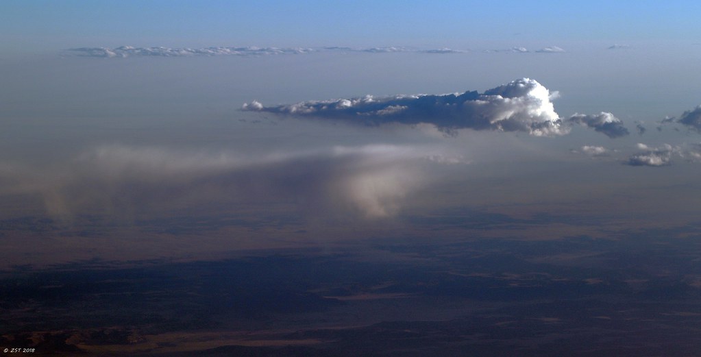
Evening Shower

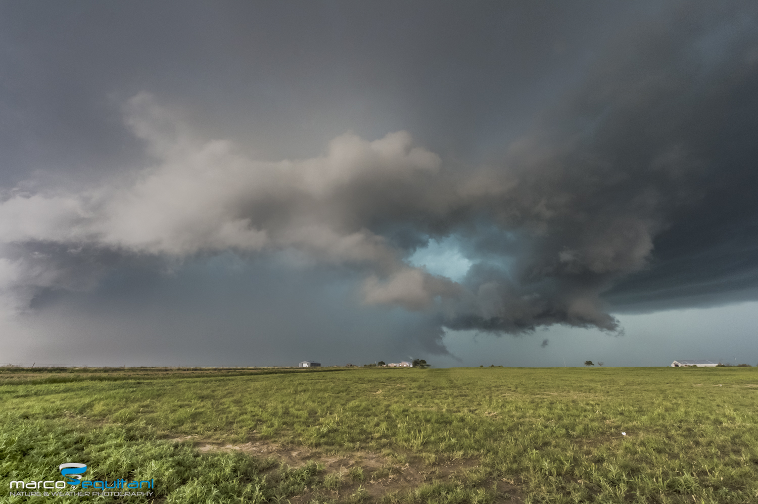
Establishing Shot - Lamar Community College, Prowers County, CO - May 2015

IMG_9826.jpg
_DSC3614-Modifica

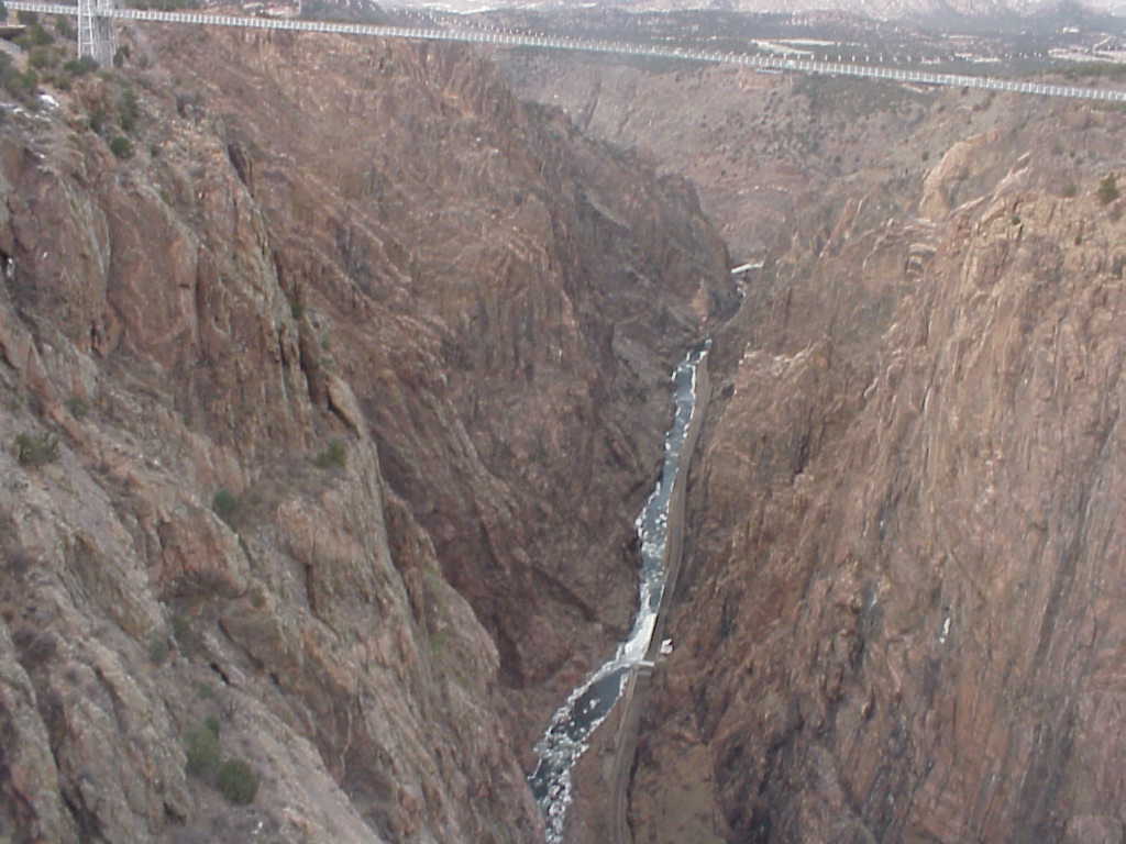
bridge in royal gorge
the landscapes
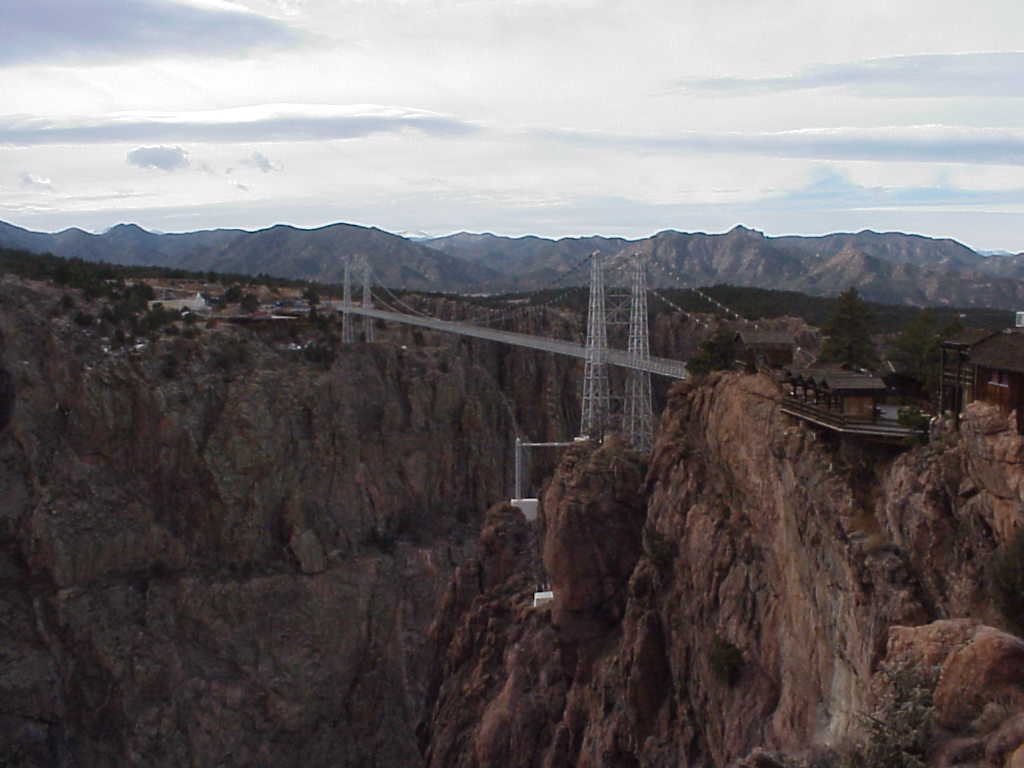
wow!! that's huge!!
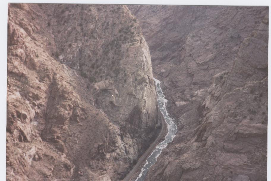
deep canyon huh!
MVC-190L
Topographic Map of Lamar, CO, USA
Find elevation by address:

Places near Lamar, CO, USA:
10750 Rd Z
10750 Rd Z
10750 Rd Z
Pritchett
Co Rd 90, Las Animas, CO, USA
Comanche National Grassland
Utleyville
County Rd 3.1, Pritchett, CO, USA
Otero County
Co Rd 50, Kim, CO, USA
Black Mesa
Highest Point In Oklahoma
Kenton
2nd St, Model, CO, USA
US-, Model, CO, USA
25 Branson St
Branson
Main St, Branson, CO, USA
Trinchera
Des Moines
Recent Searches:
- Elevation of Crystal Cir, Birmingham, AL, USA
- Elevation of N Railroad Ave, West Palm Beach, FL, USA
- Elevation of 55 Cassick Valley Rd, Wellfleet, MA, USA
- Elevation of Ironwood Dr, Minden, NV, USA
- Elevation of 高尾山口駅, Takaomachi, Hachioji, Tokyo -, Japan
- Elevation of 15 Victory Ave, Greenville, SC, USA
- Elevation of Kota Ternate Utara, Ternate City, North Maluku, Indonesia
- Elevation of Allon St, Oceanside, NY, USA
- Elevation of Carroll Creek Rd, Custer, SD, USA
- Elevation of Lust Road, Lust Rd, Florida, USA