Elevation of Comanche National Grassland, Pritchett, CO, USA
Location: United States > Colorado > Baca County > Utleyville >
Longitude: -103.06870
Latitude: 37.3368512
Elevation: 1585m / 5200feet
Barometric Pressure: 84KPa
Elevation Map:
Satellite Map:
Related Photos:

Watching in Silence
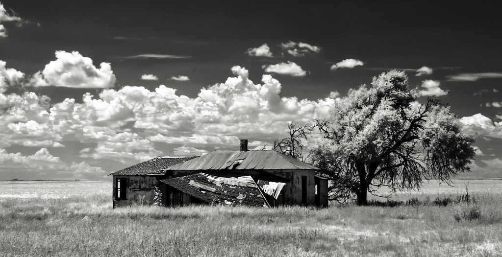
High Plains Ranch House
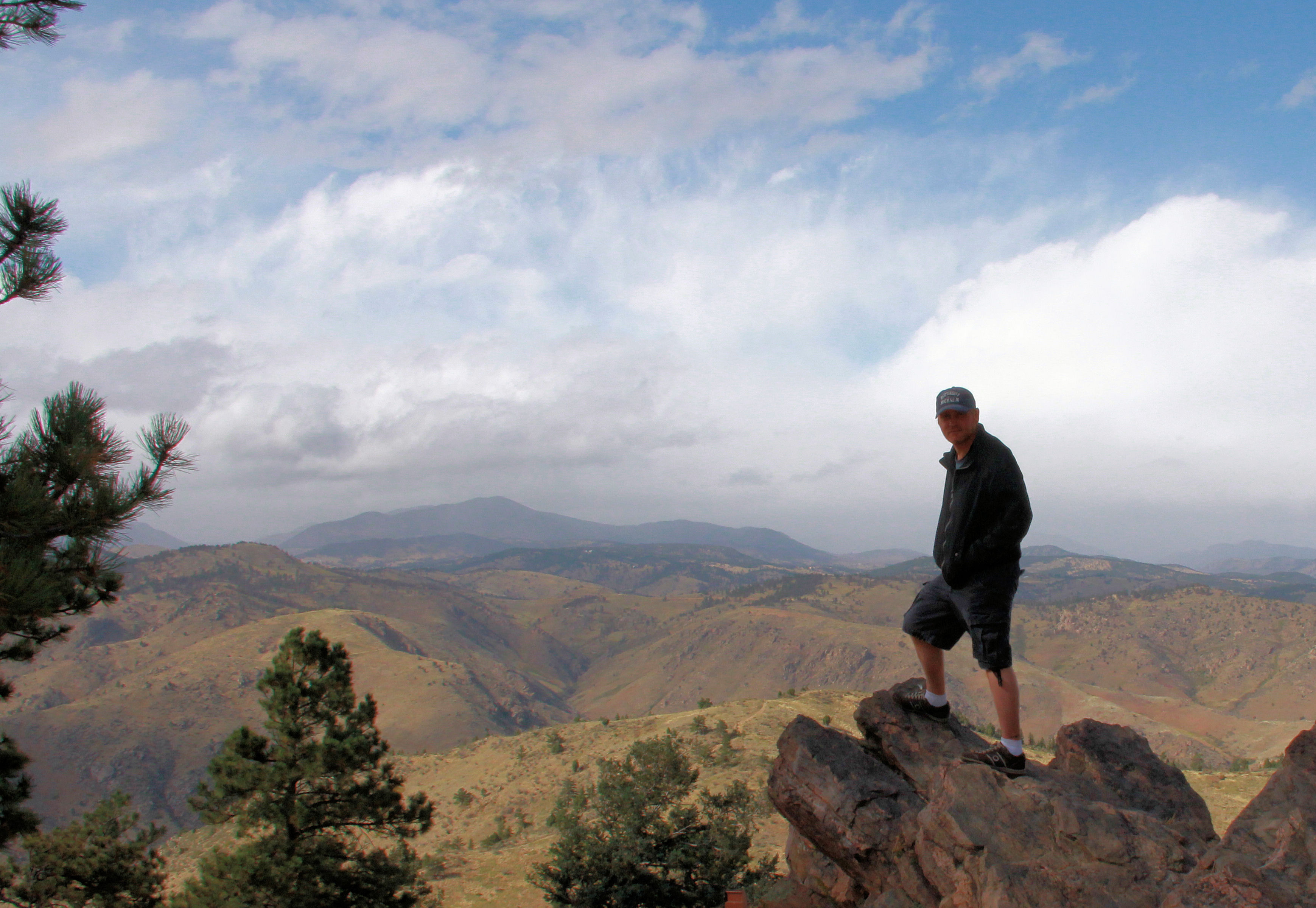
Lookout Mountain

Andrix, Colorado

Beneath the Roiled Sky

Kim, Colorado

Rural Las Animas County, Colorado

Rural Las Animas County, Colorado

LBCU_BacaCO_26Apr2014_PHS-5176
Topographic Map of Comanche National Grassland, Pritchett, CO, USA
Find elevation by address:

Places near Comanche National Grassland, Pritchett, CO, USA:
Utleyville
County Rd 3.1, Pritchett, CO, USA
Pritchett
Co Rd 90, Las Animas, CO, USA
Highest Point In Oklahoma
Black Mesa
Kenton
Co Rd 50, Kim, CO, USA
10750 Rd Z
10750 Rd Z
10750 Rd Z
Lamar, CO, USA
Otero County
2nd St, Model, CO, USA
25 Branson St
Branson
Main St, Branson, CO, USA
Des Moines
Broadway Ave, Des Moines, NM, USA
US-, Model, CO, USA
Recent Searches:
- Elevation of 4 Vale Rd, Sheffield S3 9QX, UK
- Elevation of Keene Point Drive, Keene Point Dr, Grant, AL, USA
- Elevation of State St, Zanesville, OH, USA
- Elevation of Austin Stone Dr, Haslet, TX, USA
- Elevation of Bydgoszcz, Poland
- Elevation of Bydgoszcz, Poland
- Elevation of Calais Dr, Del Mar, CA, USA
- Elevation of Placer Mine Ln, West Jordan, UT, USA
- Elevation of E 63rd St, New York, NY, USA
- Elevation of Elk City, OK, USA