Elevation of Black Mesa, Oklahoma, USA
Location: United States > Oklahoma > Cimarron County > Kenton >
Longitude: -102.99737
Latitude: 36.93185
Elevation: 1516m / 4974feet
Barometric Pressure: 84KPa
Elevation Map:
Satellite Map:
Related Photos:

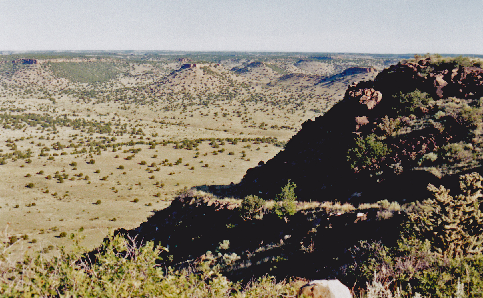
Panoramic View from the Edge of Black Mesa
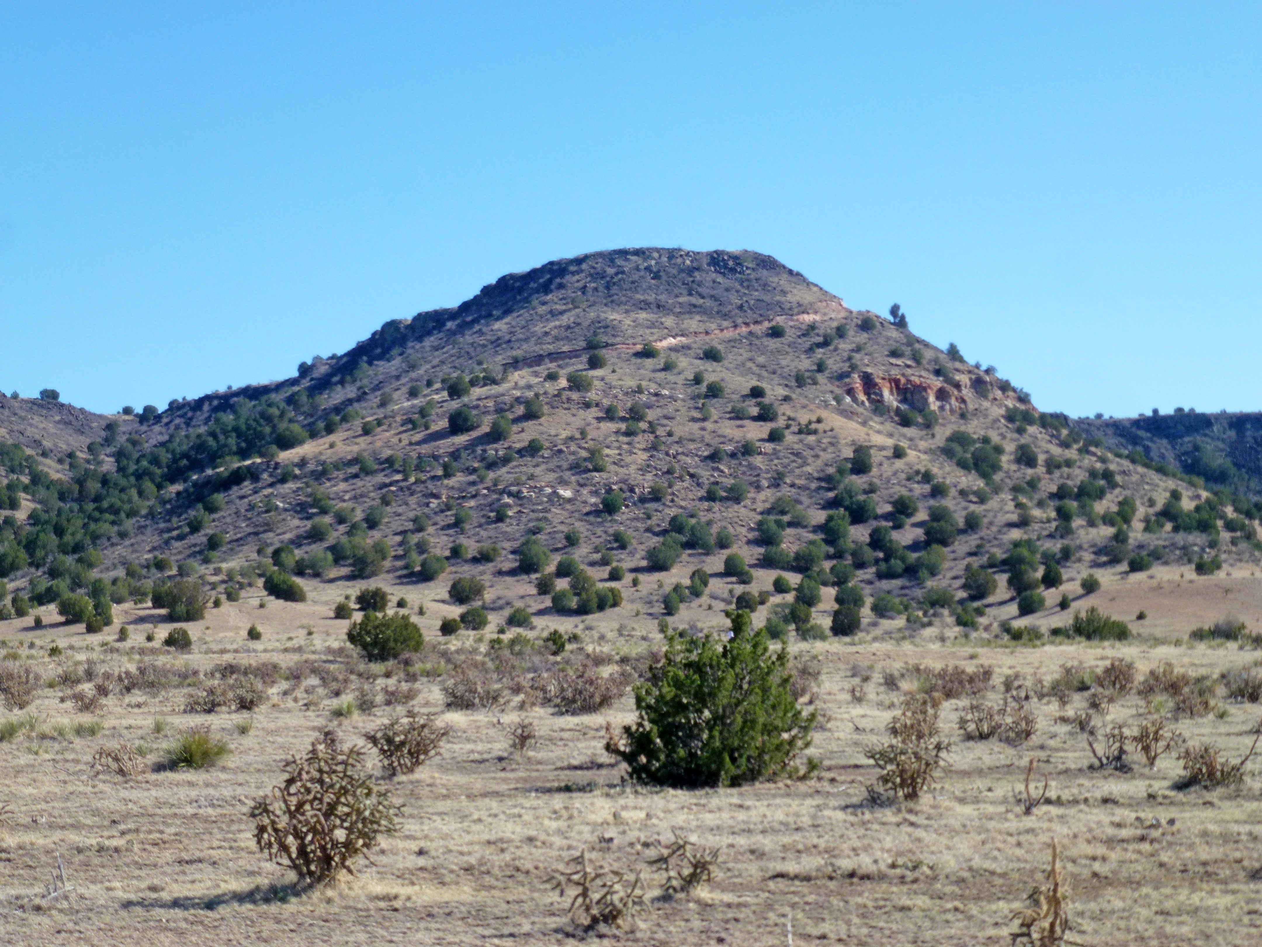
Top of Black Mesa

Black Mesa, Oklahoma

View from Black Mesa

Sunrise at Black Mesa

Black Mesa, Oklahoma

Top of Black Mesa

Top of Black Mesa

Top of Black Mesa

Looking Down at New Mexico

Top of Black Mesa

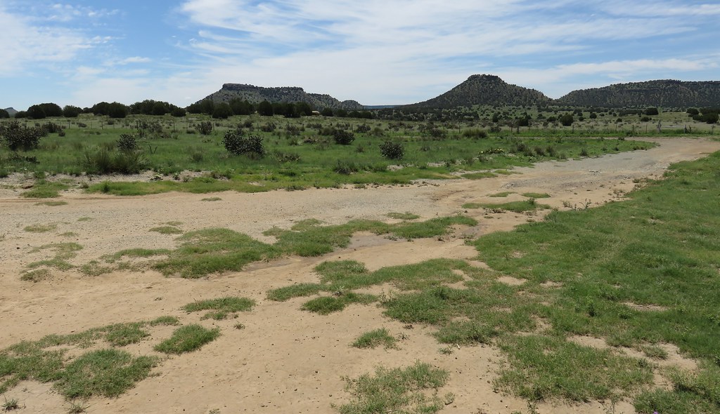
Views from Black Mesa

View from Black Mesa

Black Mesa Northern View Panorama

View from Black Mesa

View from Black Mesa

Summit marker

View from Atop Black Mesa

View from partway up Black Mesa

Mile 3 Bench View

Summit marker

Open Road

prelude to a storm, Black Mesa country, Oklahoma

Tri-Point Monument (Baca County, Colorado; Union County, New Mexico; and Cimarron County, Oklahoma)

Sandstone Seam
Trail Cut Up Black Mesa

Tri-Point Monument (Baca County, Colorado; Union County, New Mexico; and Cimarron County, Oklahoma)

Northeastern New Mexico Landscape (Baca County, Colorado; Union County, New Mexico; and Cimarron County, Oklahoma)

Road to the Edge

Almost Oklahoma - BCR 8 - Baca County CO - December 2017
Northwestern Oklahoma Landscape (Baca County, Colorado; Union County, New Mexico; and Cimarron County, Oklahoma)

Cholla Cactus

Camping Under Galaxy, Mars, and Thunderstorms

Tri-Point Monument (Baca County, Colorado; Union County, New Mexico; and Cimarron County, Oklahoma)

Southeastern Colorado Landscape (Baca County, Colorado; Union County, New Mexico; and Cimarron County, Oklahoma)

Almost Oklahoma - BCR 8 - Baca County CO - December 2017

Black Mesa State Park

Black Mesa View
Topographic Map of Black Mesa, Oklahoma, USA
Find elevation by address:

Places near Black Mesa, Oklahoma, USA:
Highest Point In Oklahoma
Kenton
County Rd 3.1, Pritchett, CO, USA
Utleyville
Comanche National Grassland
Pritchett
Co Rd 50, Kim, CO, USA
Co Rd 90, Las Animas, CO, USA
Des Moines
Broadway Ave, Des Moines, NM, USA
25 Branson St
Main St, Branson, CO, USA
Branson
Capulin Volcano National Monument
Capulin
Lamar, CO, USA
Trinchera
10750 Rd Z
10750 Rd Z
10750 Rd Z
Recent Searches:
- Elevation of 4 Vale Rd, Sheffield S3 9QX, UK
- Elevation of Keene Point Drive, Keene Point Dr, Grant, AL, USA
- Elevation of State St, Zanesville, OH, USA
- Elevation of Austin Stone Dr, Haslet, TX, USA
- Elevation of Bydgoszcz, Poland
- Elevation of Bydgoszcz, Poland
- Elevation of Calais Dr, Del Mar, CA, USA
- Elevation of Placer Mine Ln, West Jordan, UT, USA
- Elevation of E 63rd St, New York, NY, USA
- Elevation of Elk City, OK, USA