Elevation of County Rd 3.1, Pritchett, CO, USA
Location: United States > Colorado > Baca County > Pritchett >
Longitude: -103.02571
Latitude: 37.1485225
Elevation: 1463m / 4800feet
Barometric Pressure: 85KPa
Elevation Map:
Satellite Map:
Related Photos:
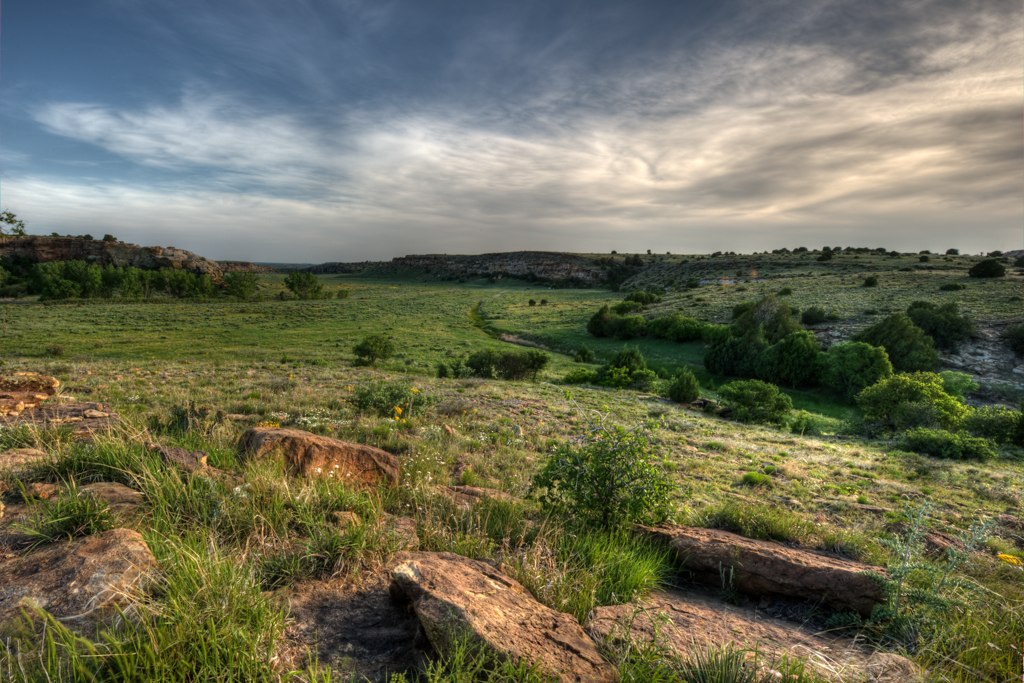
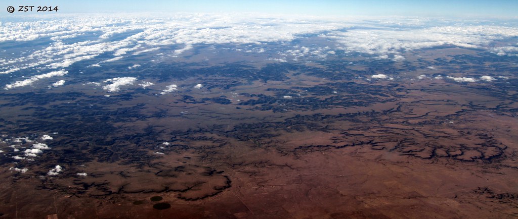
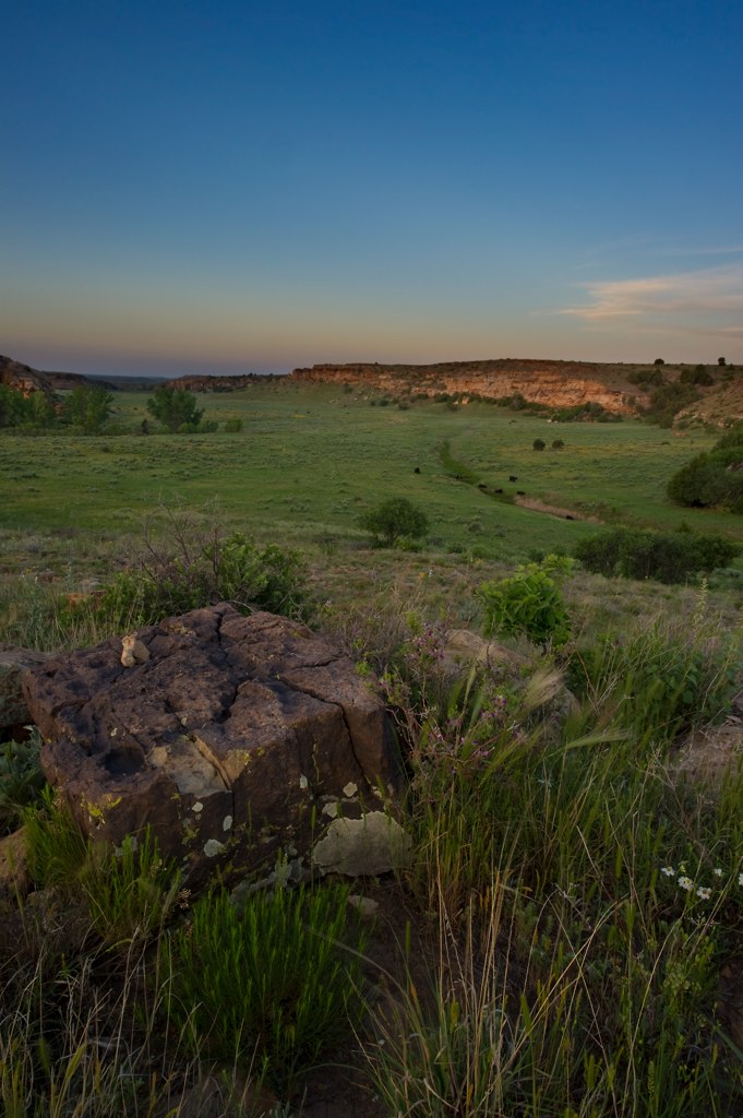
06 Comanche Canyon

13 Comanche Sunrise 2
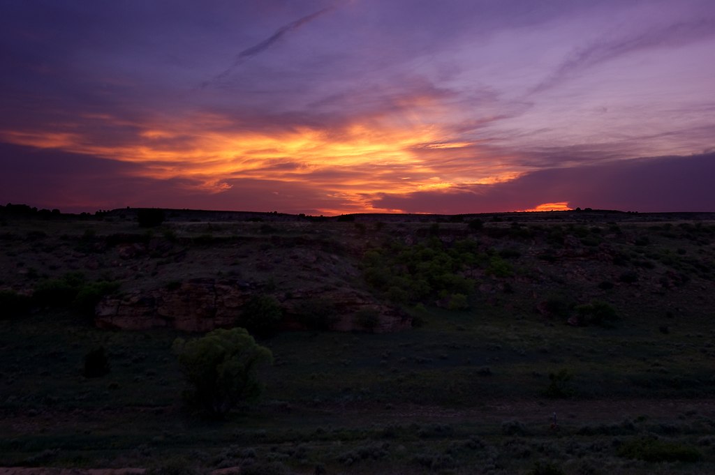
10 Comanche Sunset
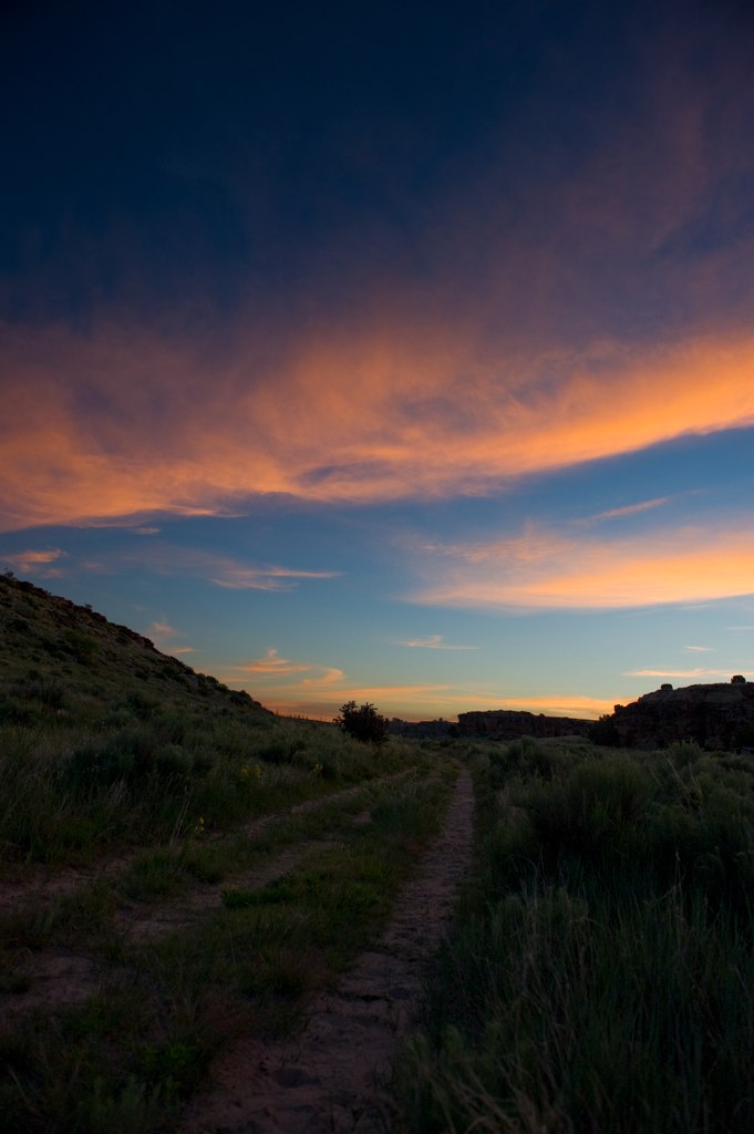
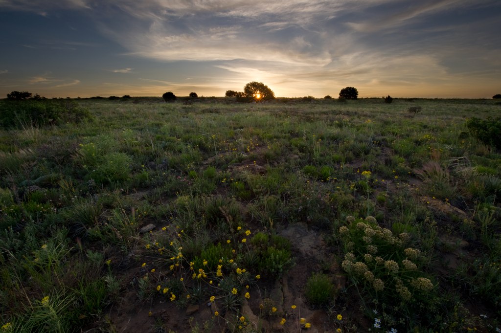
12 Comanche Sunrise 3
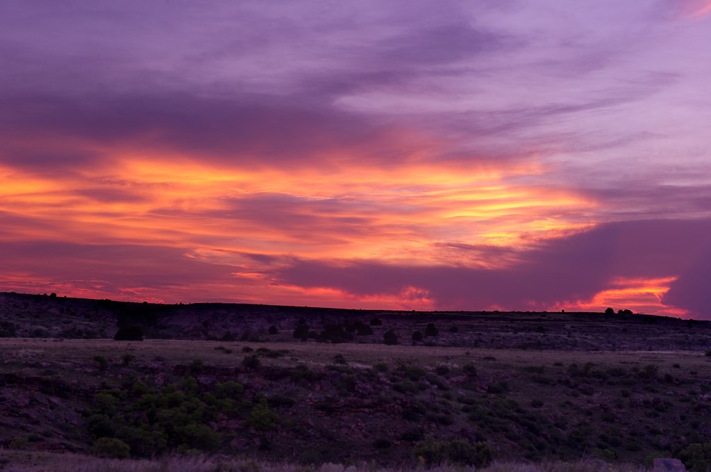
09 Comanche Sunset 4
14 Comanche Sunrise 4
Tecolote Mesa
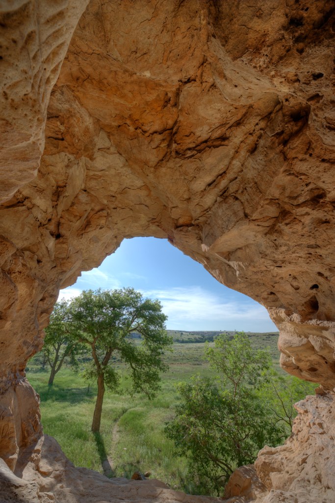
04 Comanche Cave 2
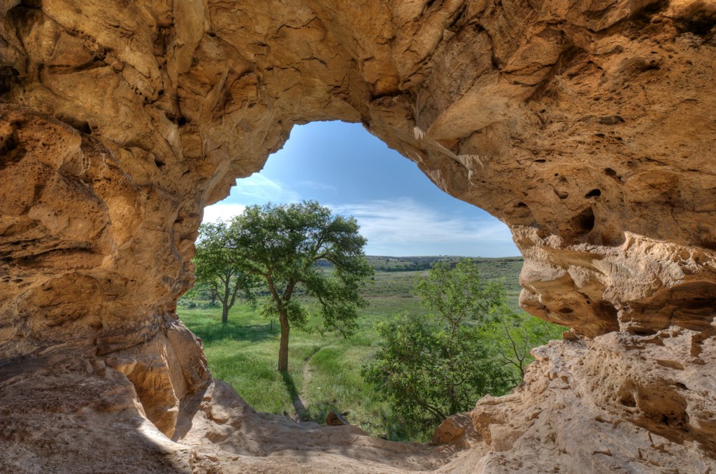
03 Comanche Cave 1
07 Comanche Canyon 3
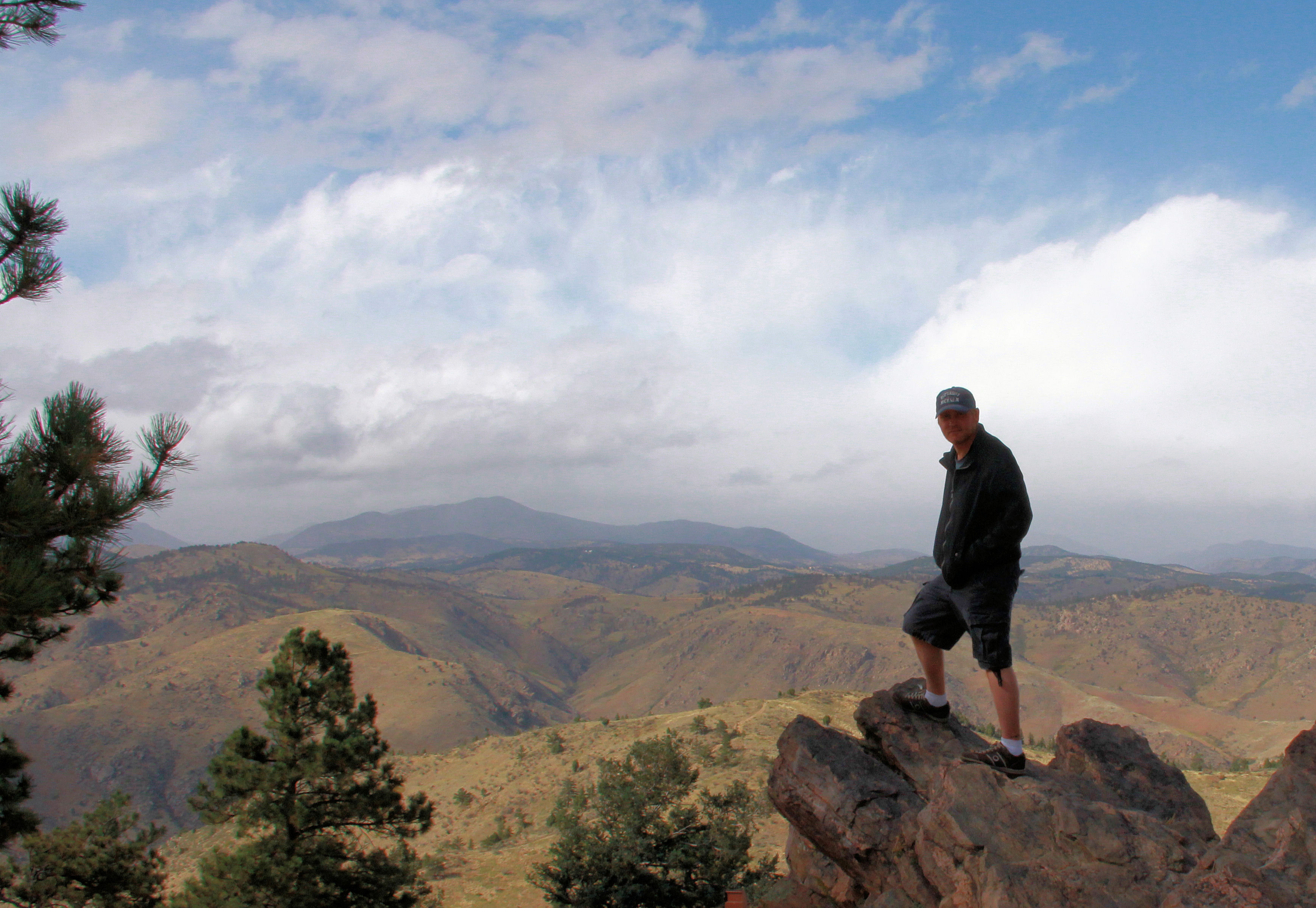
Lookout Mountain
Topographic Map of County Rd 3.1, Pritchett, CO, USA
Find elevation by address:

Places near County Rd 3.1, Pritchett, CO, USA:
Utleyville
Comanche National Grassland
Highest Point In Oklahoma
Black Mesa
Kenton
Pritchett
Co Rd 90, Las Animas, CO, USA
Co Rd 50, Kim, CO, USA
10750 Rd Z
10750 Rd Z
10750 Rd Z
Lamar, CO, USA
25 Branson St
Branson
Main St, Branson, CO, USA
Des Moines
Broadway Ave, Des Moines, NM, USA
Otero County
2nd St, Model, CO, USA
Capulin Volcano National Monument
Recent Searches:
- Elevation of Corso Fratelli Cairoli, 35, Macerata MC, Italy
- Elevation of Tallevast Rd, Sarasota, FL, USA
- Elevation of 4th St E, Sonoma, CA, USA
- Elevation of Black Hollow Rd, Pennsdale, PA, USA
- Elevation of Oakland Ave, Williamsport, PA, USA
- Elevation of Pedrógão Grande, Portugal
- Elevation of Klee Dr, Martinsburg, WV, USA
- Elevation of Via Roma, Pieranica CR, Italy
- Elevation of Tavkvetili Mountain, Georgia
- Elevation of Hartfords Bluff Cir, Mt Pleasant, SC, USA