Elevation of Lake City, SD, USA
Location: United States > South Dakota > Marshall County >
Longitude: -97.414539
Latitude: 45.7252321
Elevation: 568m / 1864feet
Barometric Pressure: 95KPa
Elevation Map:
Satellite Map:
Related Photos:

The view from the Lake City Cemetary
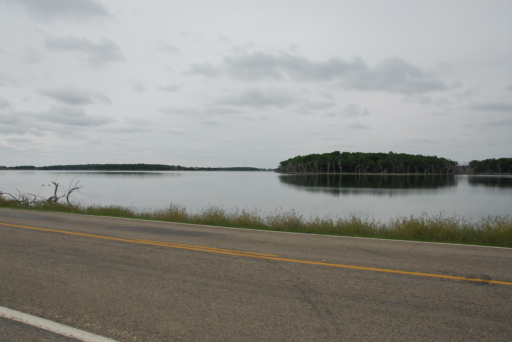
Road Through the Lake

Graves in Lake City Cemetary

Lake City Cemetary

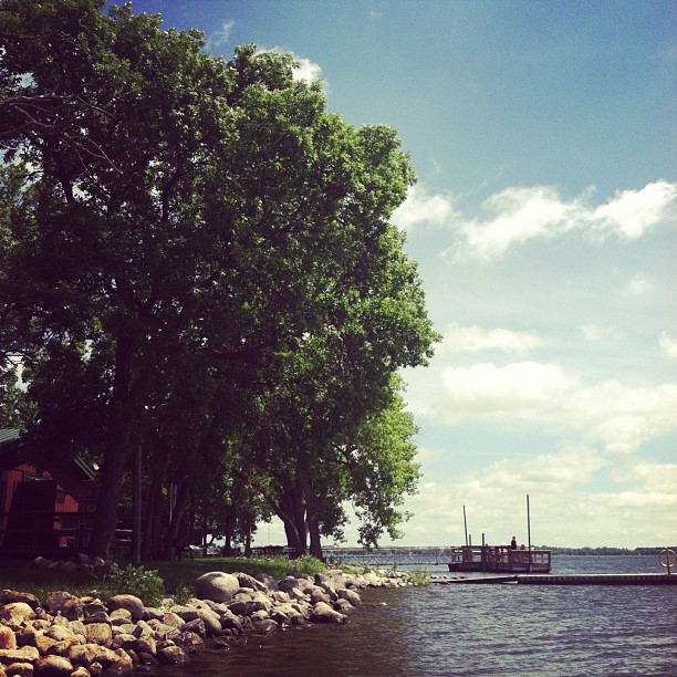
Pond next to Lake City Cemetary
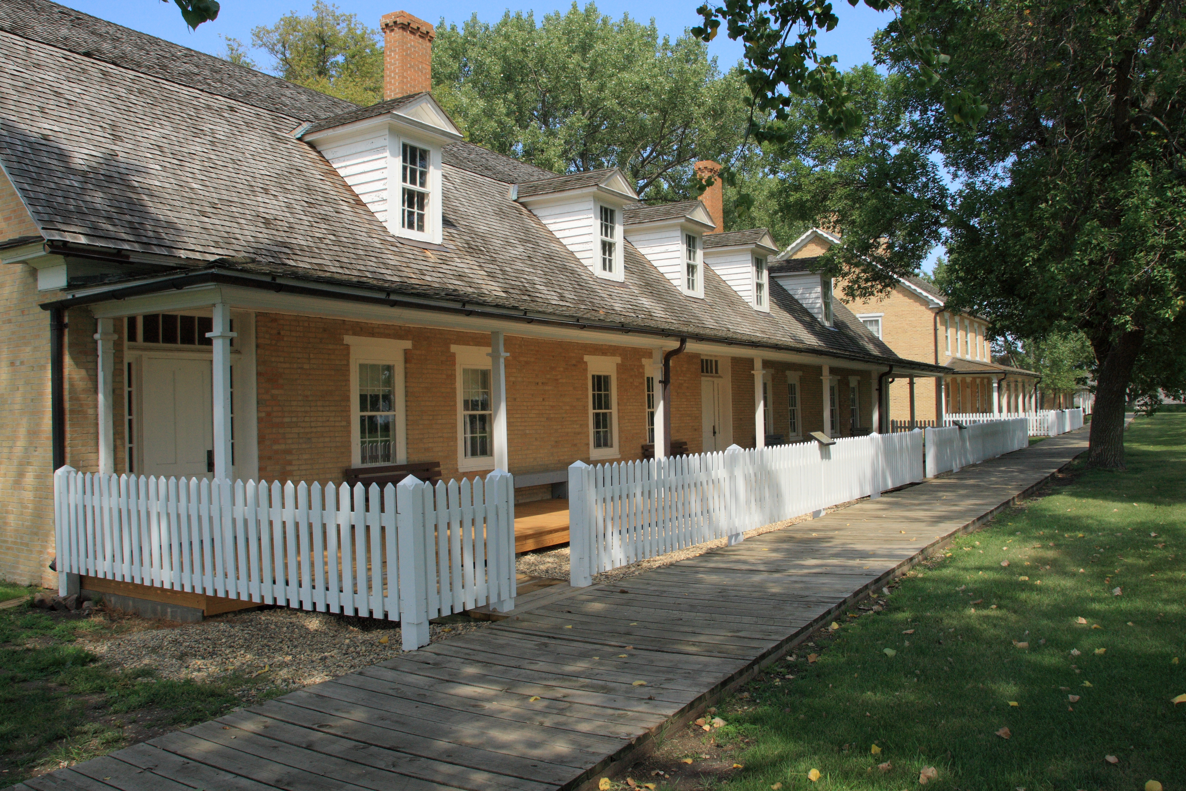
Fort Sisseton

Fall Fire

Besökare Samtidigt

2013 10-03 Fall Fire II by Scott Shephard

too windy to go out but Dad's still in the boat

Full moon at the lake...breathtaking!

Fishing with Dad...it's a good day.
Let's go fishing!

Fall Fire

Furry Friend
Coteau des Prairies

Fort Sisseton

Fort Sisseton
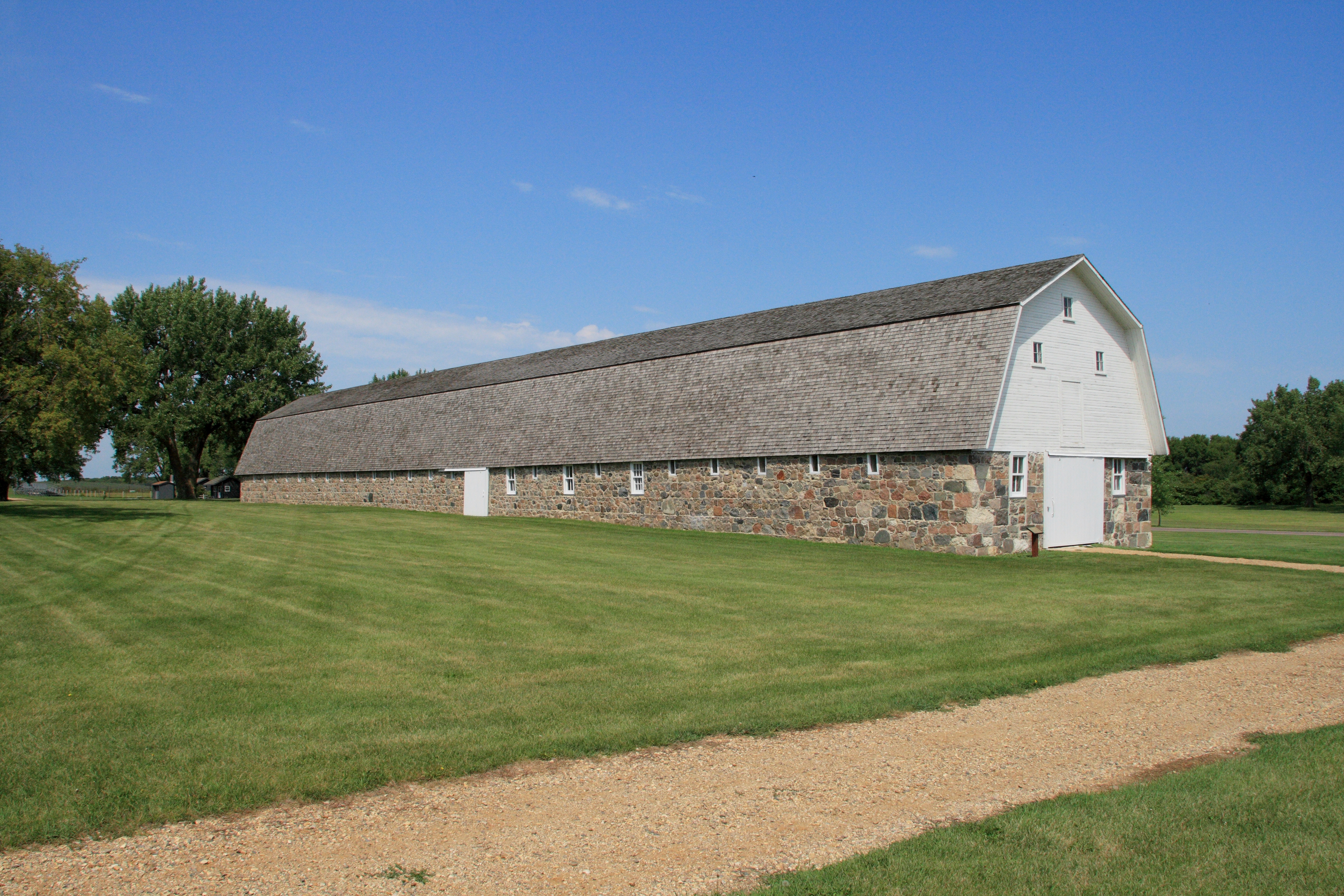
Fort Sisseton stables
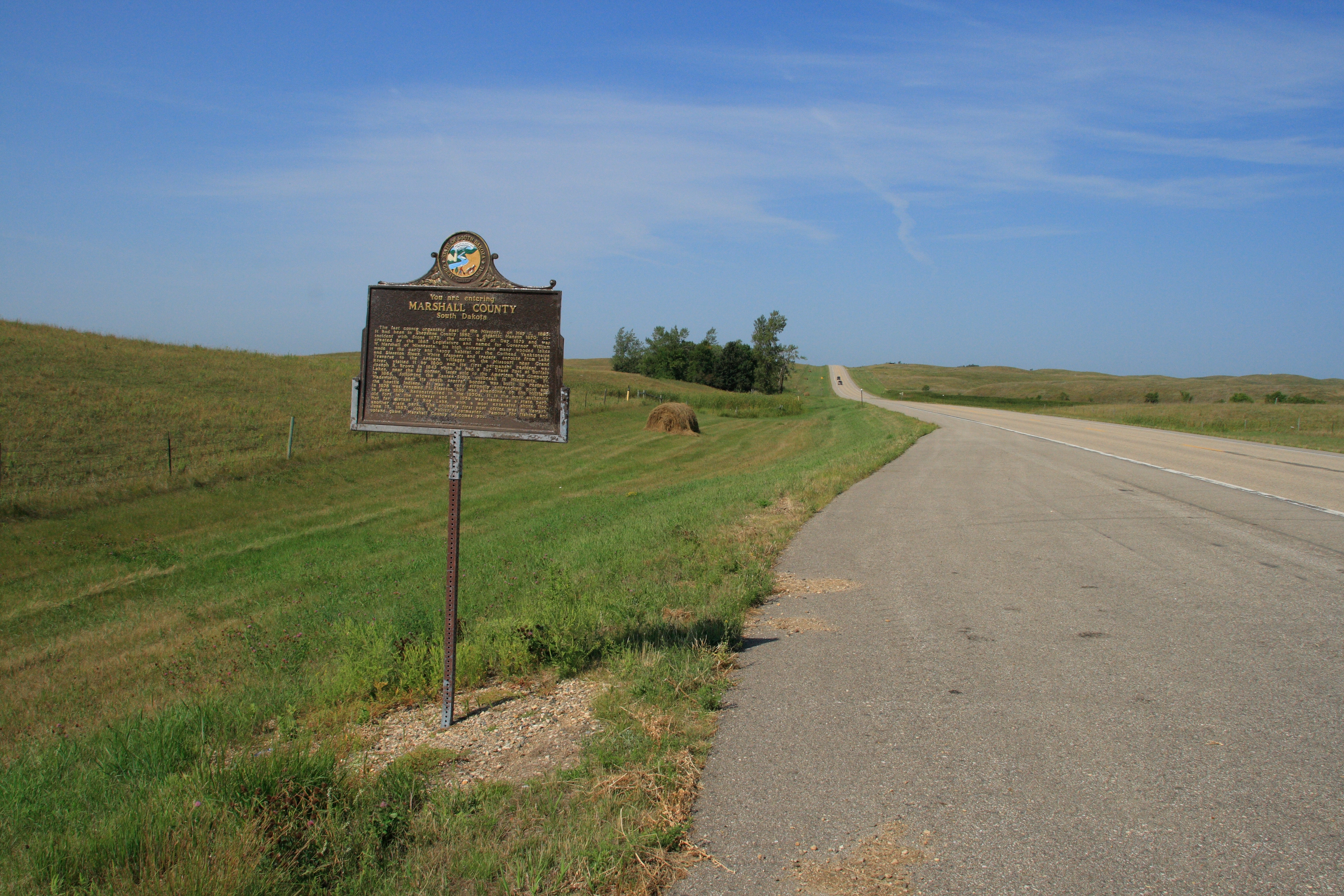
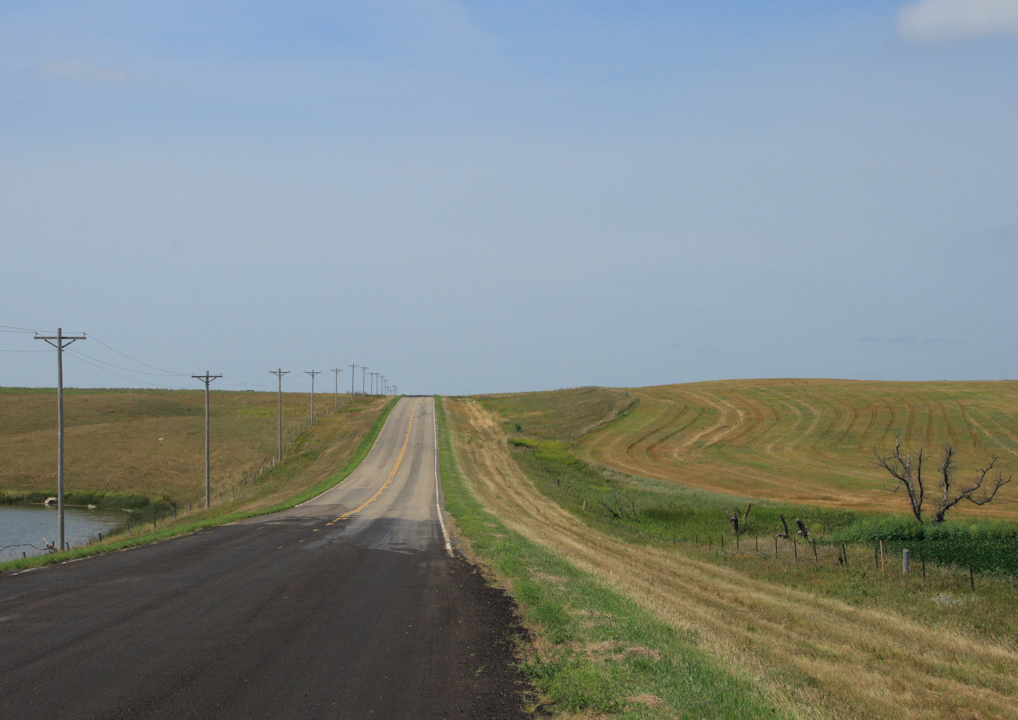
Entering Marshall County, South Dakota
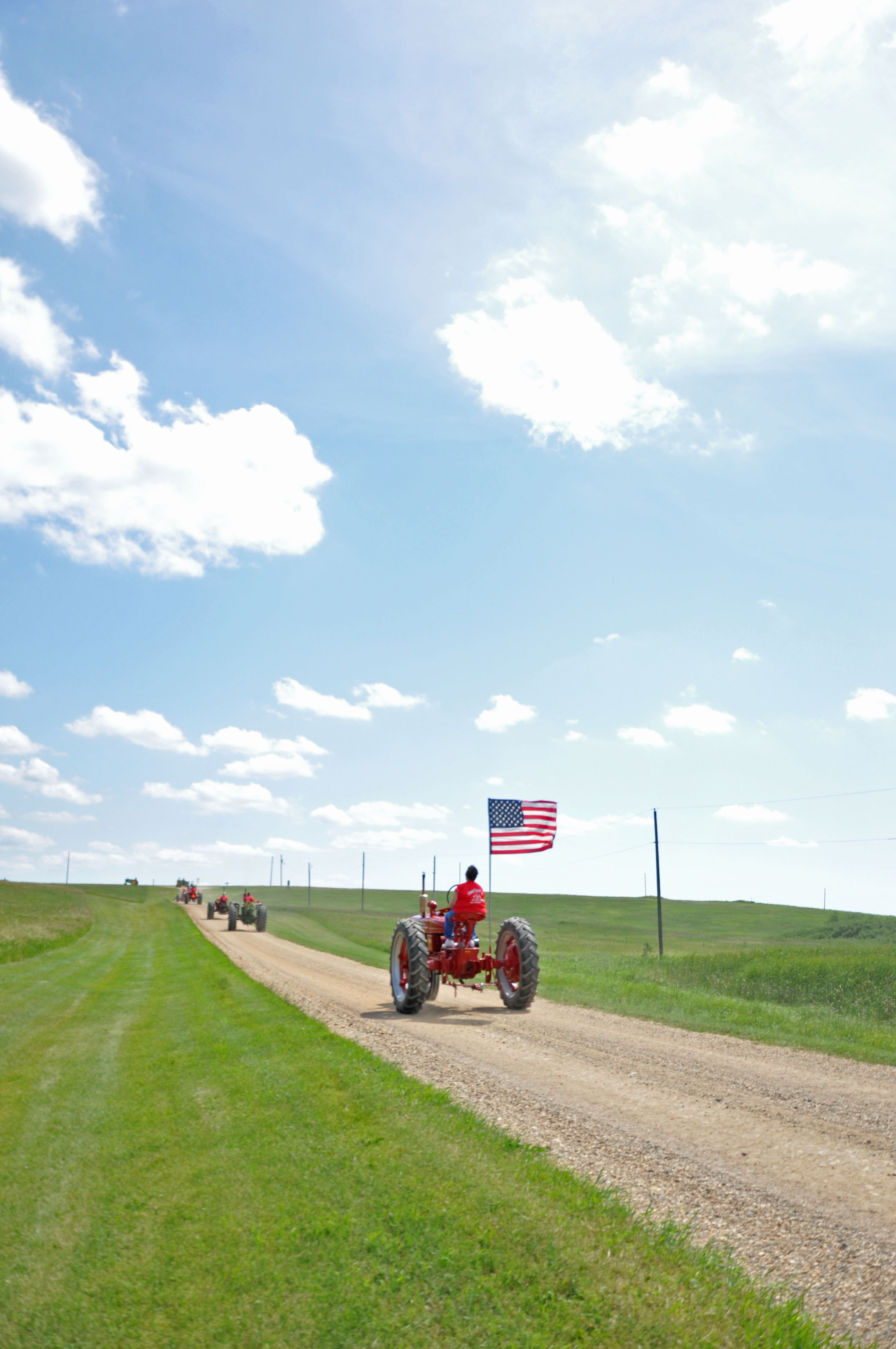
Tractor Run
Topographic Map of Lake City, SD, USA
Find elevation by address:

Places near Lake City, SD, USA:
Veblen, SD, USA
Veblen
Marshall County
Veblen
Long Hollow Township
Havana
2nd Ave, Havana, ND, USA
SD-10, Sisseton, SD, USA
Waubay National Wildlife Refuge
Claire City
Main St, Sisseton, SD, USA
Britton
Sisseton
South Dakota 10
Hickman Township
Roberts County
Webster
Waubay
9165 152nd Ave Se
Day County
Recent Searches:
- Elevation of Corso Fratelli Cairoli, 35, Macerata MC, Italy
- Elevation of Tallevast Rd, Sarasota, FL, USA
- Elevation of 4th St E, Sonoma, CA, USA
- Elevation of Black Hollow Rd, Pennsdale, PA, USA
- Elevation of Oakland Ave, Williamsport, PA, USA
- Elevation of Pedrógão Grande, Portugal
- Elevation of Klee Dr, Martinsburg, WV, USA
- Elevation of Via Roma, Pieranica CR, Italy
- Elevation of Tavkvetili Mountain, Georgia
- Elevation of Hartfords Bluff Cir, Mt Pleasant, SC, USA