Elevation of Webster, SD, USA
Location: United States > South Dakota > Day County >
Longitude: -97.520089
Latitude: 45.3321795
Elevation: 565m / 1854feet
Barometric Pressure: 95KPa
Elevation Map:
Satellite Map:
Related Photos:

Collage from the family reunion
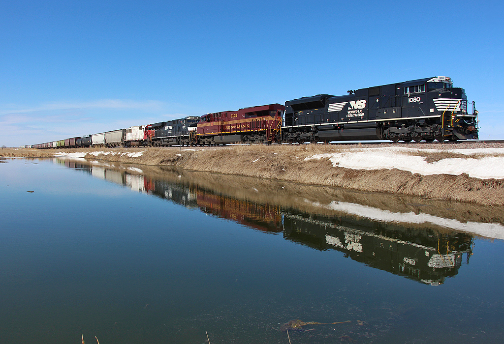
Webster South Dakota, Day County SD
Flying West out of Waubay

Freedom.
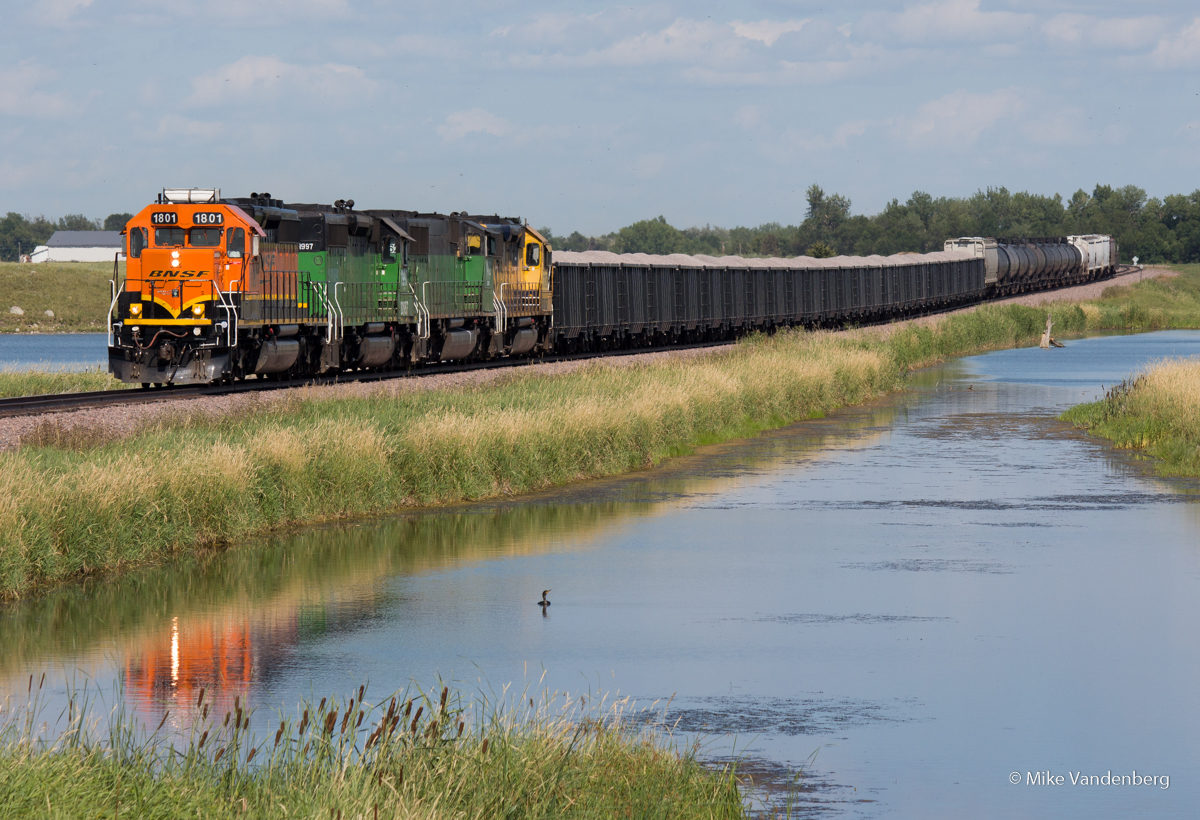
Perfect Spot...almost Perfect Consist

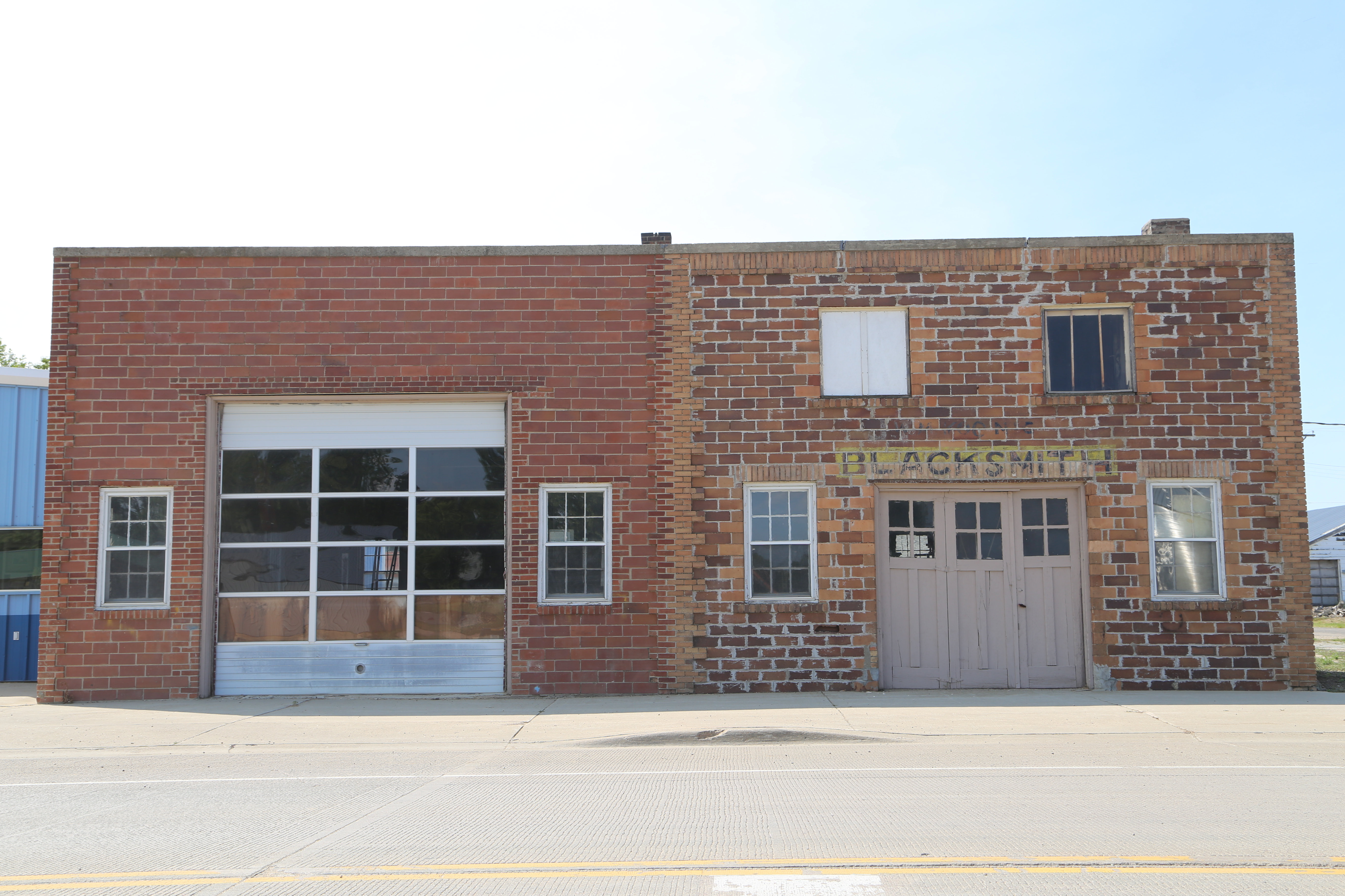
Bristol South Dakota, Yellowstone Trail, Day County SD
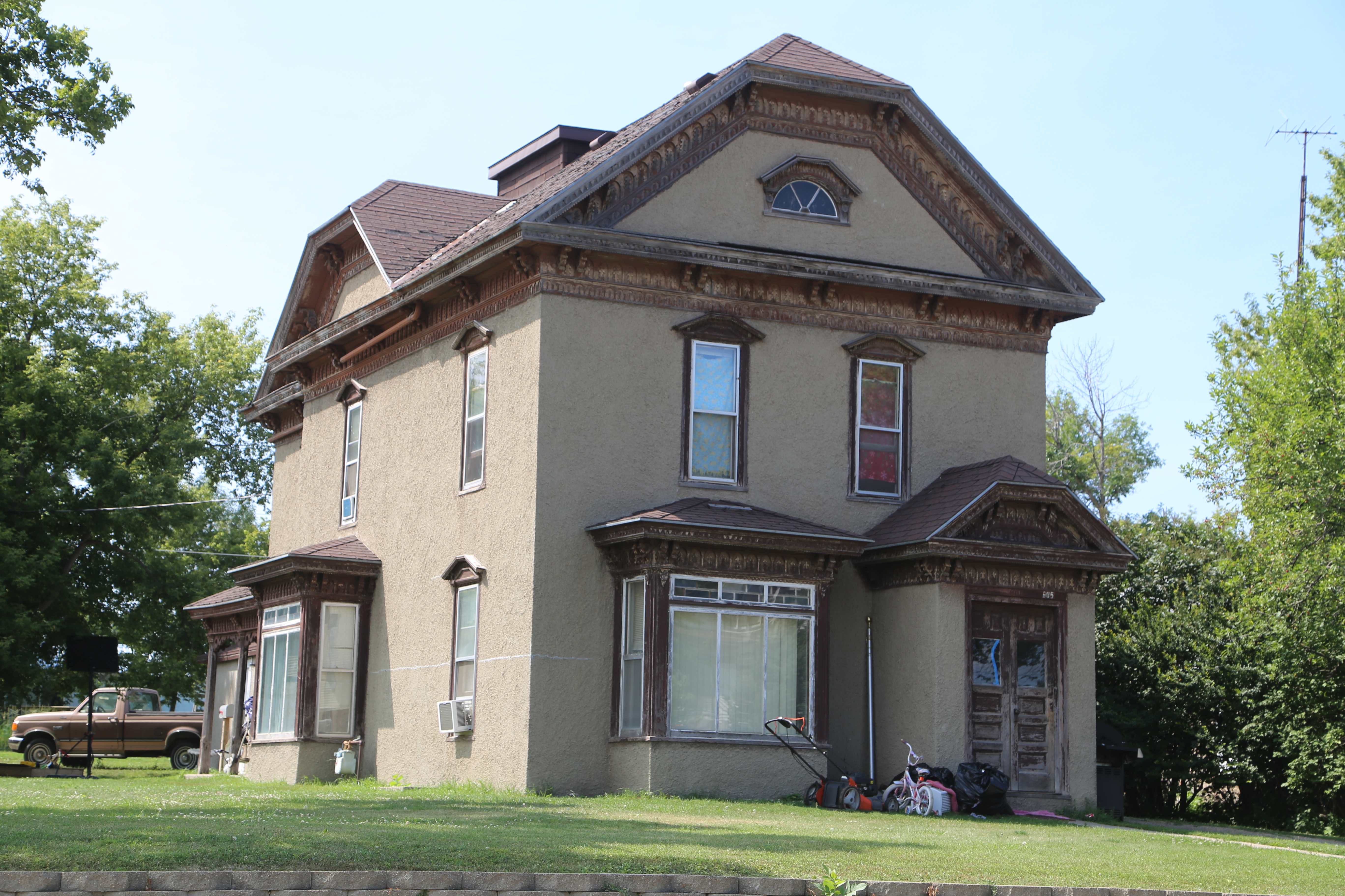
Webster South Dakota, Day County SD

Webster Municipal Liquor - South Dakota

Wooden bridge over railroad tracks
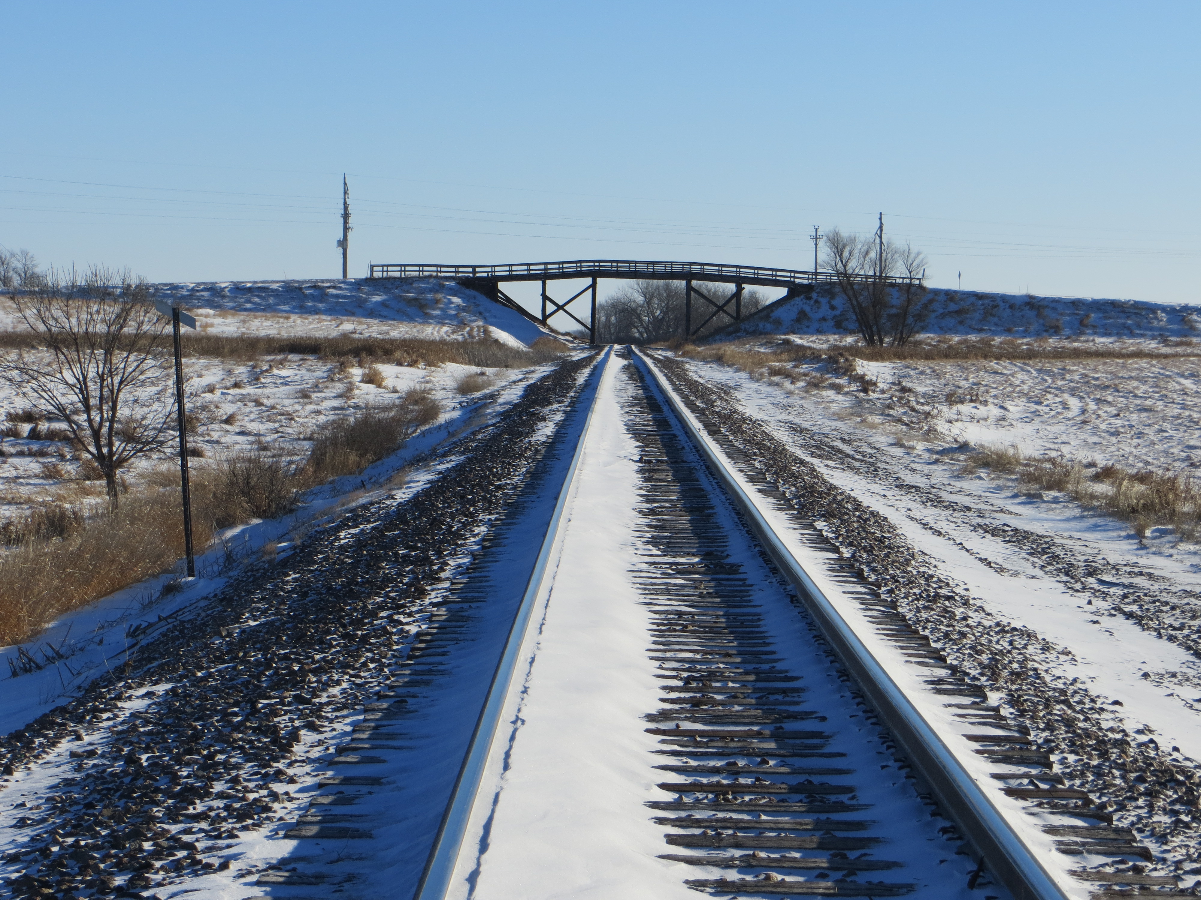
Wooden bridge over railroad tracks

14 Football vs Webster 063

14 Football vs Webster 072

14 Football vs Webster 076

14 Football vs Webster 096

14 Football vs Webster 101

14 Football vs Webster 107

14 Football vs Webster 138

14 Football vs Webster 149

14 Football vs Webster 152

14 Football vs Webster 153

14 Football vs Webster 164

14 Football vs Webster 168
Topographic Map of Webster, SD, USA
Find elevation by address:

Places near Webster, SD, USA:
144th Street
Day County
Waubay National Wildlife Refuge
Waubay
Bradley
New Main St N, Ortley, SD, USA
Ortley
Hickman Township
Marshall County
Lake City
Langford
Summit
Long Hollow Township
East Hanson Township
Britton
40930 137th St
SD-10, Sisseton, SD, USA
Groton Township
Roberts County
Veblen, SD, USA
Recent Searches:
- Elevation of Elwyn Dr, Roanoke Rapids, NC, USA
- Elevation of Congressional Dr, Stevensville, MD, USA
- Elevation of Bellview Rd, McLean, VA, USA
- Elevation of Stage Island Rd, Chatham, MA, USA
- Elevation of Shibuya Scramble Crossing, 21 Udagawacho, Shibuya City, Tokyo -, Japan
- Elevation of Jadagoniai, Kaunas District Municipality, Lithuania
- Elevation of Pagonija rock, Kranto 7-oji g. 8"N, Kaunas, Lithuania
- Elevation of Co Rd 87, Jamestown, CO, USA
- Elevation of Tenjo, Cundinamarca, Colombia
- Elevation of Côte-des-Neiges, Montreal, QC H4A 3J6, Canada