Elevation of Bradley, SD, USA
Location: United States > South Dakota > Clark County >
Longitude: -97.643696
Latitude: 45.0905157
Elevation: 553m / 1814feet
Barometric Pressure: 95KPa
Elevation Map:
Satellite Map:
Related Photos:

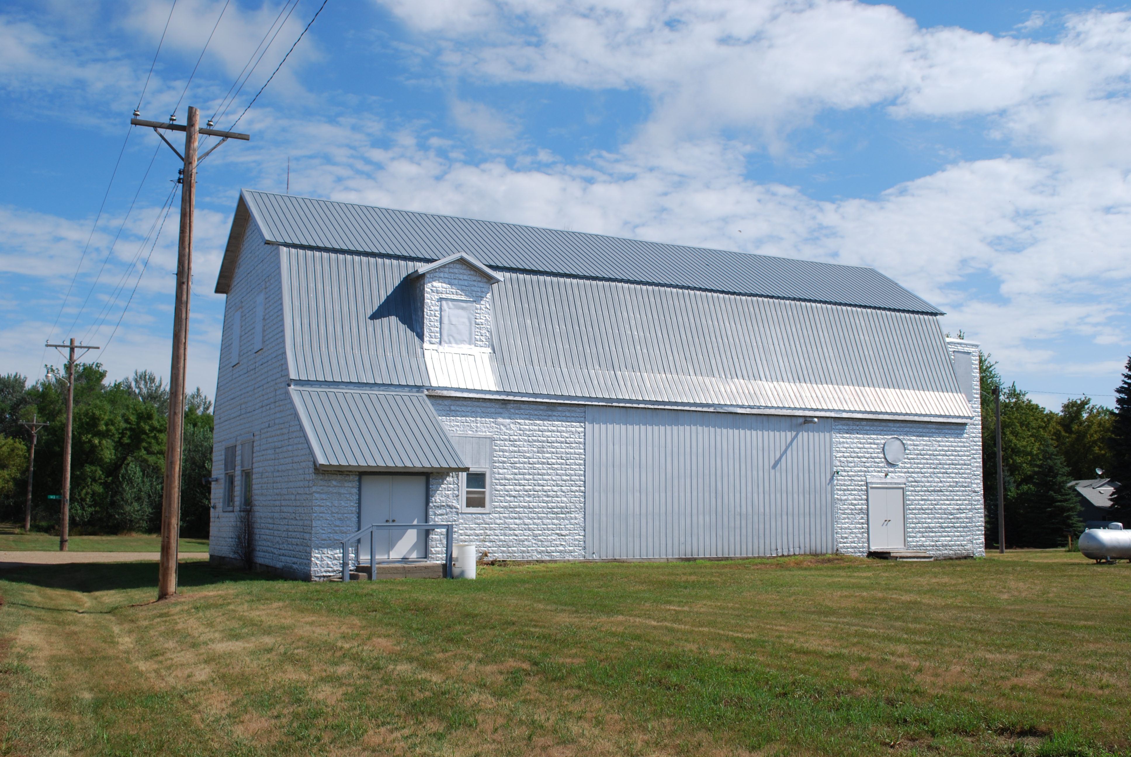
Hittin the Road
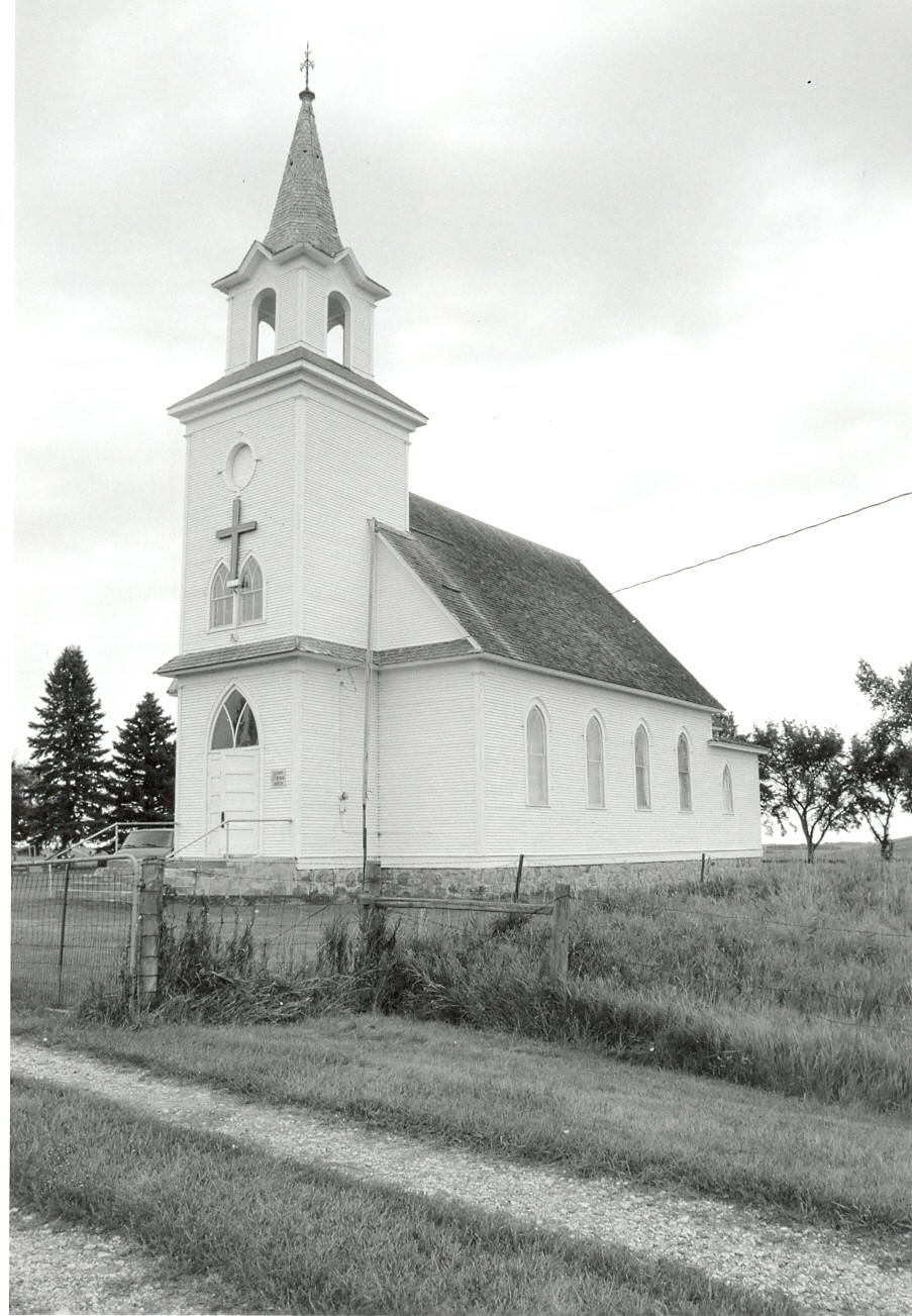
Bradley First Lutheran -- Lily, South Dakota
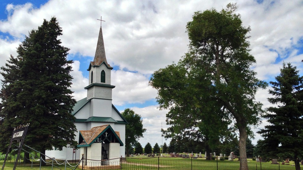
Historic Church
Garden City Opera House -- Garden City, South Dakota
Topographic Map of Bradley, SD, USA
Find elevation by address:

Places near Bradley, SD, USA:
144th Street
Webster
Day County
Waubay
Waubay National Wildlife Refuge
East Hanson Township
40930 137th St
New Main St N, Ortley, SD, USA
Ortley
Groton Township
Langford
Hickman Township
N Main St, Groton, SD, USA
Groton
40311 139th St
Marshall County
Summit
Lake City
5th Ave, Claremont, SD, USA
Britton
Recent Searches:
- Elevation of Alisal Rd, Solvang, CA, USA
- Elevation of Vista Blvd, Sparks, NV, USA
- Elevation of 15th Ave SE, St. Petersburg, FL, USA
- Elevation of Beall Road, Beall Rd, Florida, USA
- Elevation of Leguwa, Nepal
- Elevation of County Rd, Enterprise, AL, USA
- Elevation of Kolchuginsky District, Vladimir Oblast, Russia
- Elevation of Shustino, Vladimir Oblast, Russia
- Elevation of Lampiasi St, Sarasota, FL, USA
- Elevation of Elwyn Dr, Roanoke Rapids, NC, USA