Elevation of 5th Ave, Claremont, SD, USA
Location: United States > South Dakota > Brown County >
Longitude: -98.015885
Latitude: 45.67202
Elevation: 395m / 1296feet
Barometric Pressure: 97KPa
Elevation Map:
Satellite Map:
Related Photos:
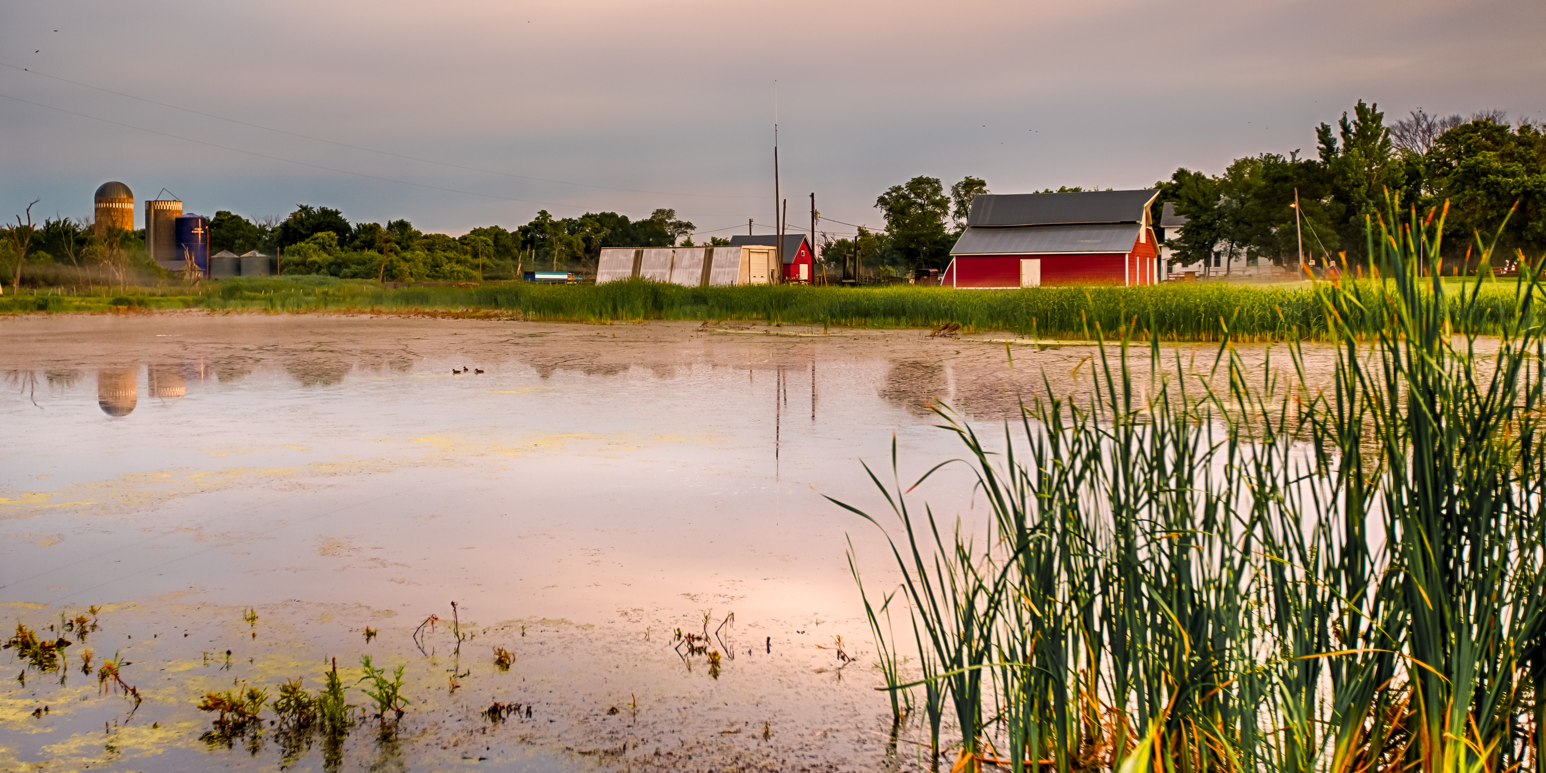
Farm Through the Cattails
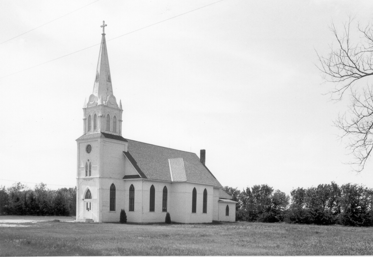
Augustana Swedish Lutheran Church, Brown County, SD
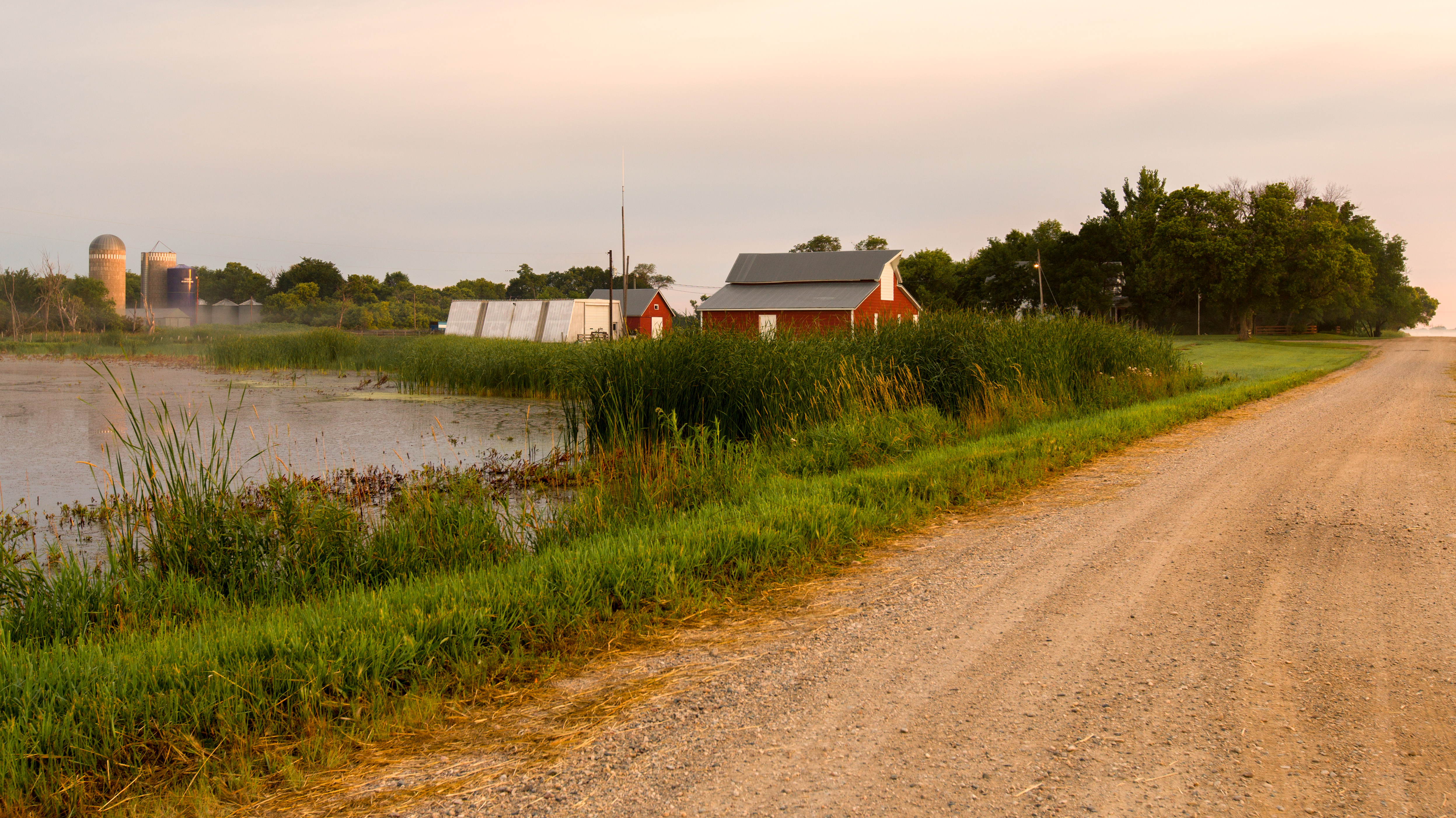
Farm at Dawn 2
Horse Barn at Dawn
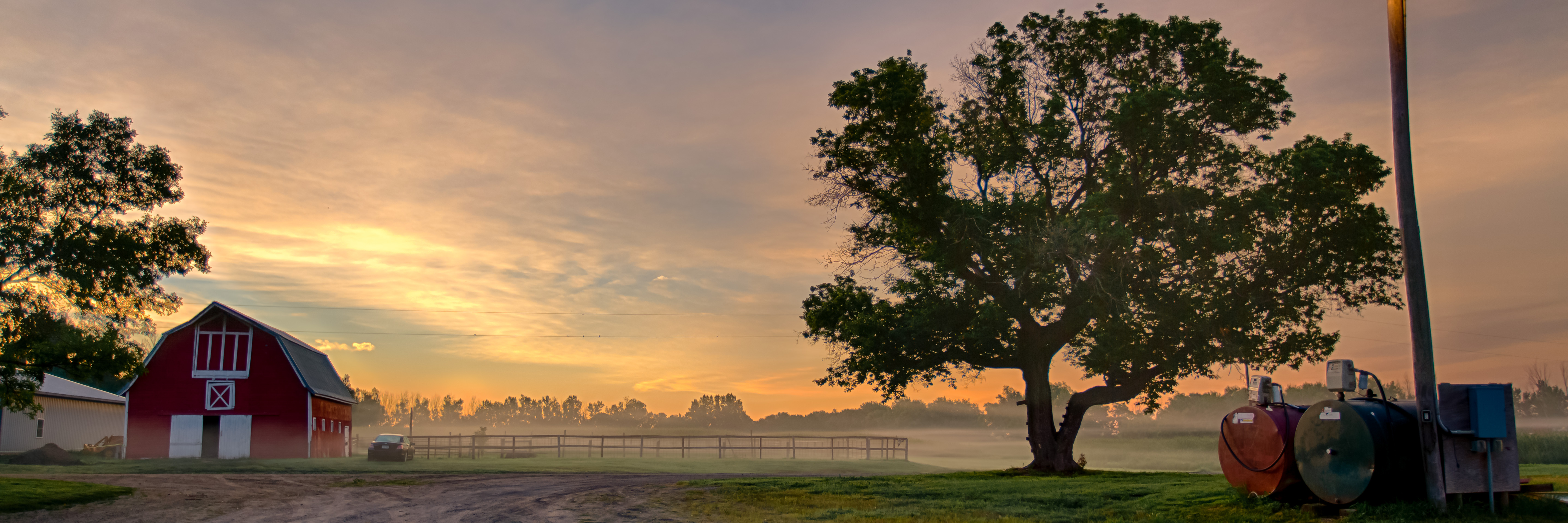
Cow Barn at Sunset
Cow Barn

Kung Max den IIII

My Dirty AWD G37x

Looking East at Sunrise
Topographic Map of 5th Ave, Claremont, SD, USA
Find elevation by address:

Places near 5th Ave, Claremont, SD, USA:
Langford
Groton Township
Groton
N Main St, Groton, SD, USA
Hickman Township
Hecla
Elm St, Hecla, SD, USA
Brown County
40930 137th St
Britton
East Hanson Township
40311 139th St
13452 396th Ave
University Ave, Cogswell, ND, USA
Day County
Marshall County
Ada
11103 88th St Se
Oakes
10957 88th St Se
Recent Searches:
- Elevation of Elwyn Dr, Roanoke Rapids, NC, USA
- Elevation of Congressional Dr, Stevensville, MD, USA
- Elevation of Bellview Rd, McLean, VA, USA
- Elevation of Stage Island Rd, Chatham, MA, USA
- Elevation of Shibuya Scramble Crossing, 21 Udagawacho, Shibuya City, Tokyo -, Japan
- Elevation of Jadagoniai, Kaunas District Municipality, Lithuania
- Elevation of Pagonija rock, Kranto 7-oji g. 8"N, Kaunas, Lithuania
- Elevation of Co Rd 87, Jamestown, CO, USA
- Elevation of Tenjo, Cundinamarca, Colombia
- Elevation of Côte-des-Neiges, Montreal, QC H4A 3J6, Canada