Elevation of Veblen, SD, USA
Location: United States > South Dakota > Marshall County > Veblen >
Longitude: -97.287592
Latitude: 45.8630145
Elevation: 390m / 1280feet
Barometric Pressure: 97KPa
Elevation Map:
Satellite Map:
Related Photos:
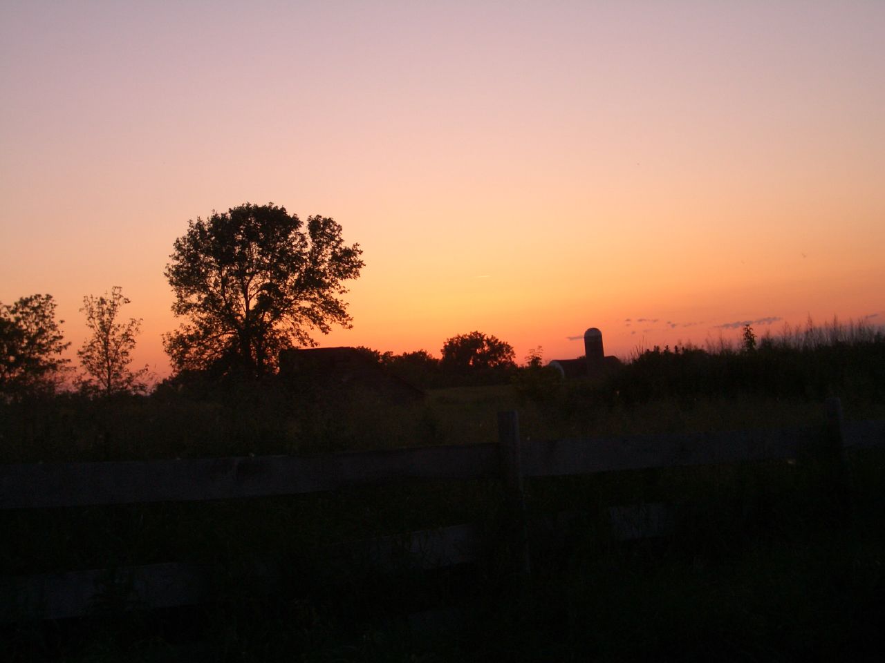
Farm at Sunset

Dusk in South Dakota

Veblen, SD post office

Fall Fire

2013 10-03 Fall Fire II by Scott Shephard

Fall Fire

Furry Friend

Tractor Run

Monark Bike 1957

Farm at Night

Farm at Sunset 3

Farm at Sunset 2

Engaged!

Welcome to South Dakota

Storm Break

Cloudy Road

Vrchota Farmstead at Sunset
Topographic Map of Veblen, SD, USA
Find elevation by address:

Places near Veblen, SD, USA:
Veblen, SD, USA
Veblen
Claire City
Main St, Sisseton, SD, USA
Lake City
Long Hollow Township
9165 152nd Ave Se
Lidgerwood
201 4th Ave Se
SD-10, Sisseton, SD, USA
Sisseton
South Dakota 10
Havana
2nd Ave, Havana, ND, USA
Marshall County
Roberts County
Sargent County
Waubay National Wildlife Refuge
Britton
14226 75th St Se
Recent Searches:
- Elevation of Lampiasi St, Sarasota, FL, USA
- Elevation of Elwyn Dr, Roanoke Rapids, NC, USA
- Elevation of Congressional Dr, Stevensville, MD, USA
- Elevation of Bellview Rd, McLean, VA, USA
- Elevation of Stage Island Rd, Chatham, MA, USA
- Elevation of Shibuya Scramble Crossing, 21 Udagawacho, Shibuya City, Tokyo -, Japan
- Elevation of Jadagoniai, Kaunas District Municipality, Lithuania
- Elevation of Pagonija rock, Kranto 7-oji g. 8"N, Kaunas, Lithuania
- Elevation of Co Rd 87, Jamestown, CO, USA
- Elevation of Tenjo, Cundinamarca, Colombia