Elevation of Havana, ND, USA
Location: United States > North Dakota > Sargent County >
Longitude: -97.618988
Latitude: 45.95024
Elevation: 395m / 1296feet
Barometric Pressure: 97KPa
Elevation Map:
Satellite Map:
Related Photos:
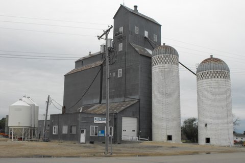
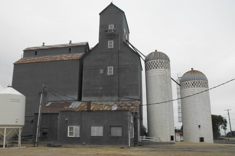
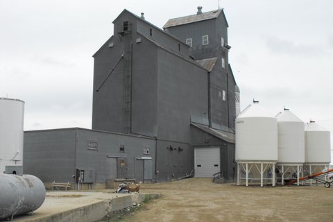
Brampton, North Dakota
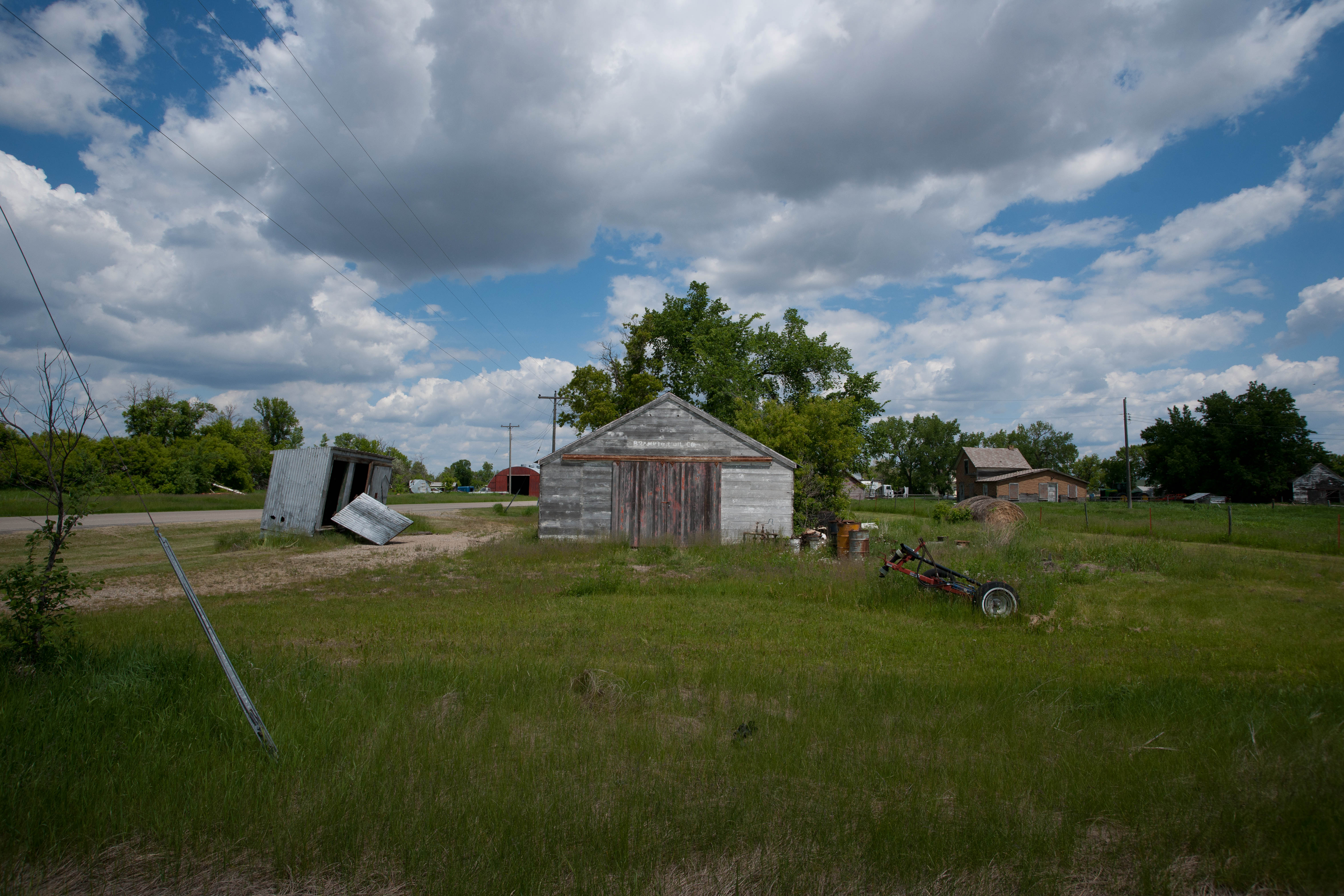
Brampton, North Dakota
Brampton, North Dakota
Entering North Dakota (Sargent County, North Dakota)

Entering Marshall County (Marshall County, South Dakota)
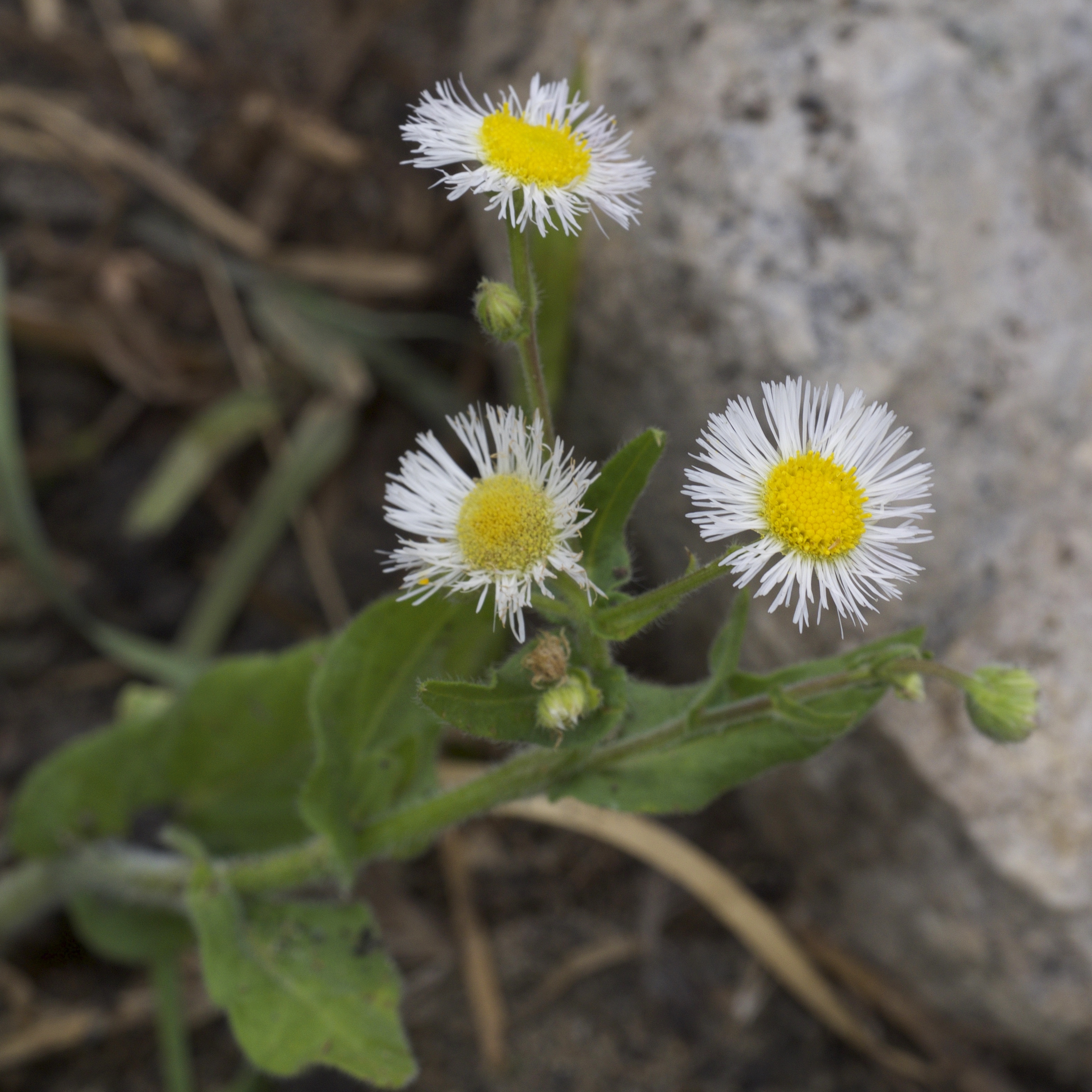
Erigeron philadelphicus

Dolichonyx oryzivorus

Tephroseris palustris
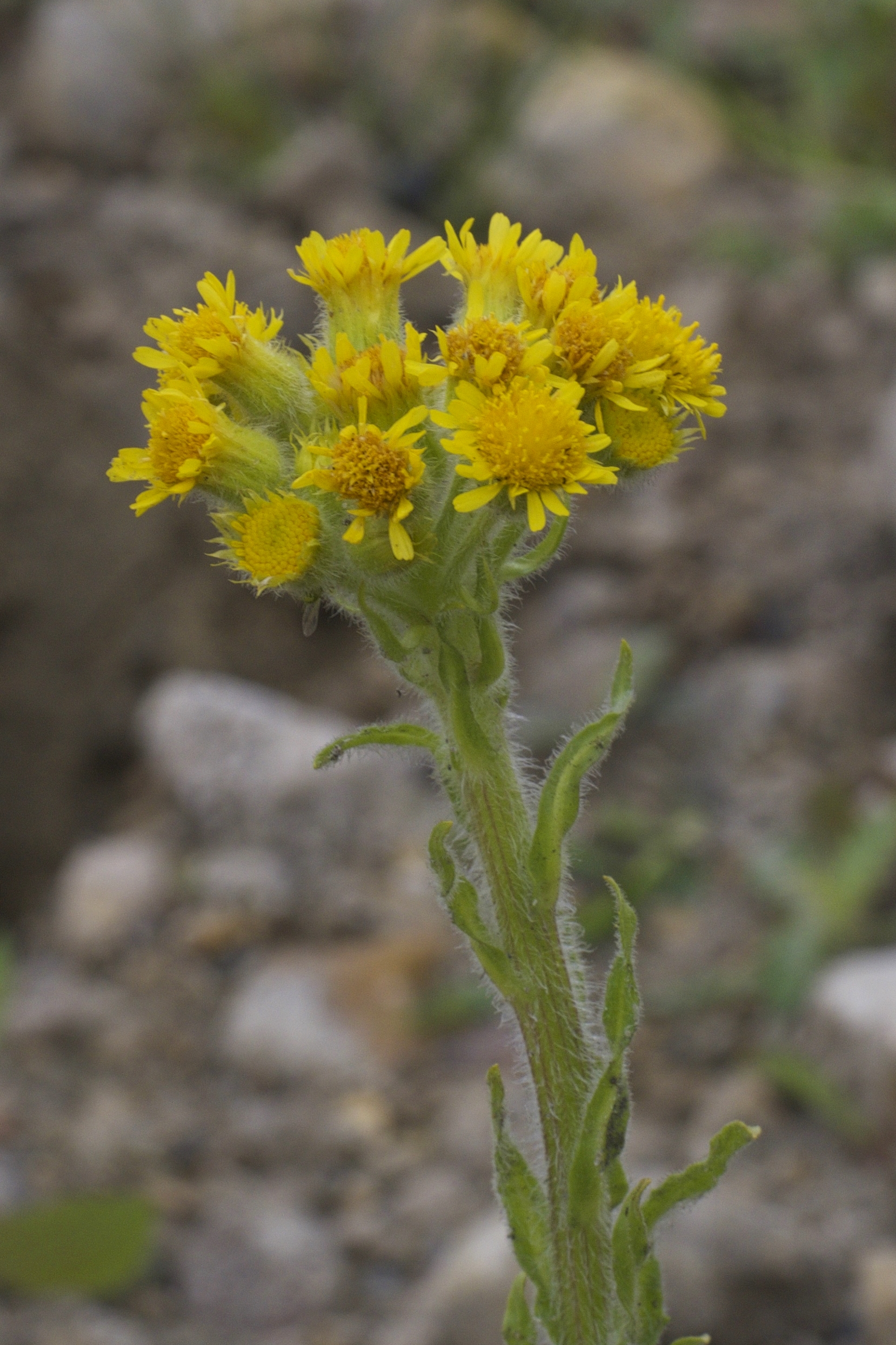
Tephroseris palustris

Coleomegilla maculata

Meleagris gallopavo

Ischnura verticalis
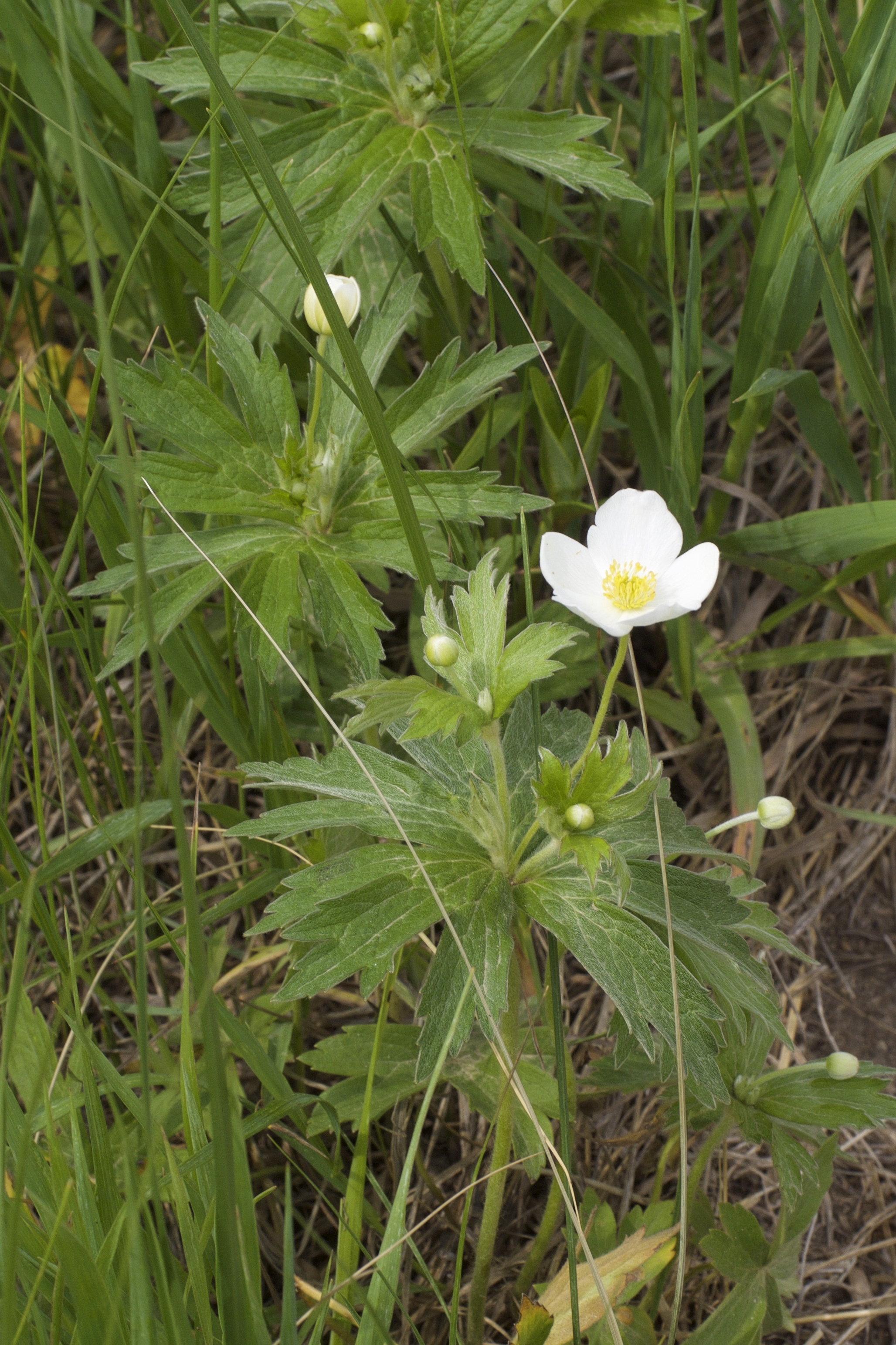
Anemone canadensis
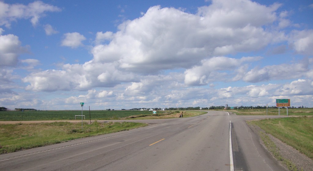
Where the Dakotas meet
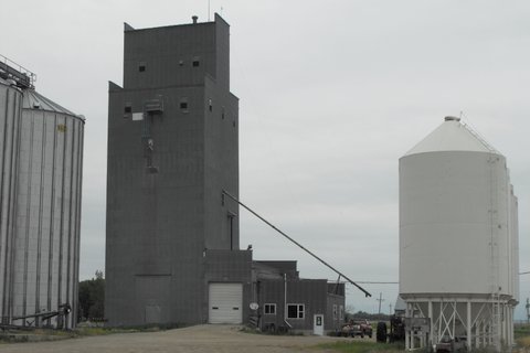
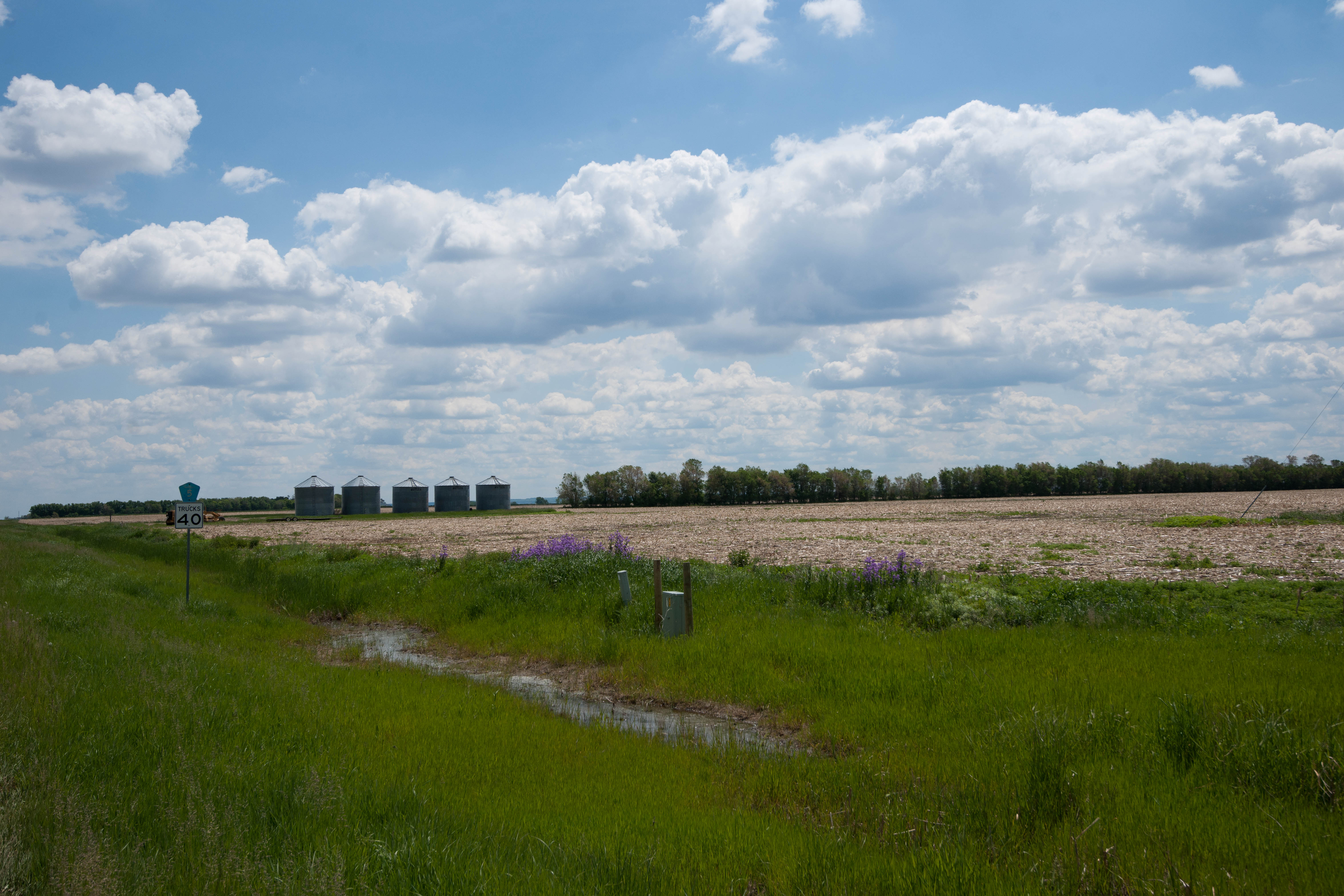
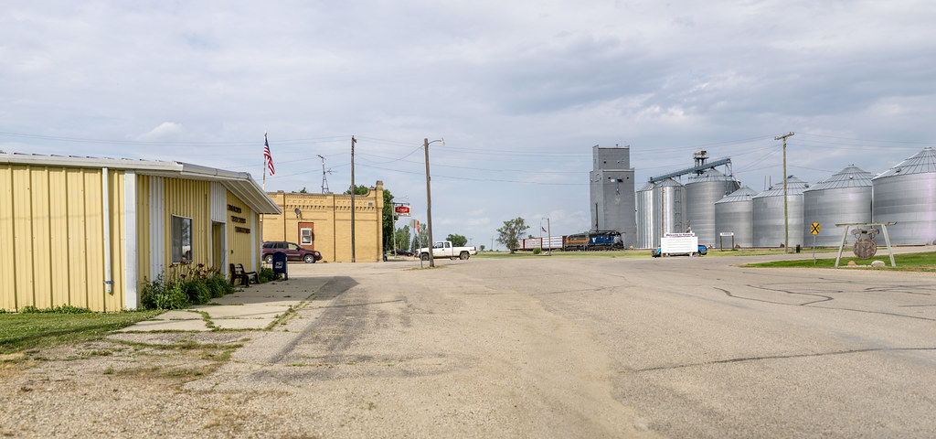
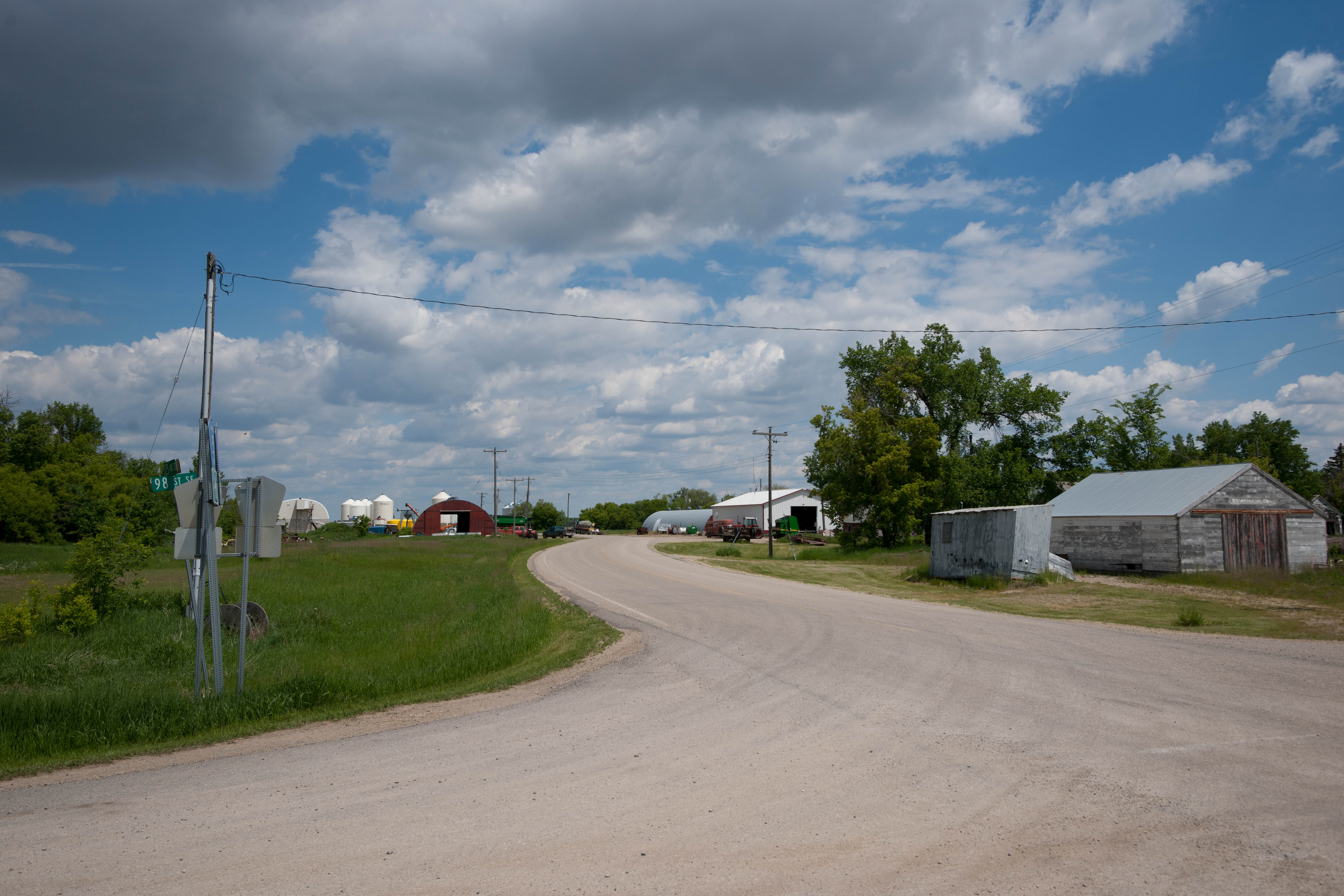
Havana, North Dakota
Havana, North Dakota

Havana, North Dakota
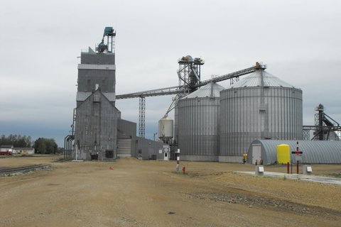
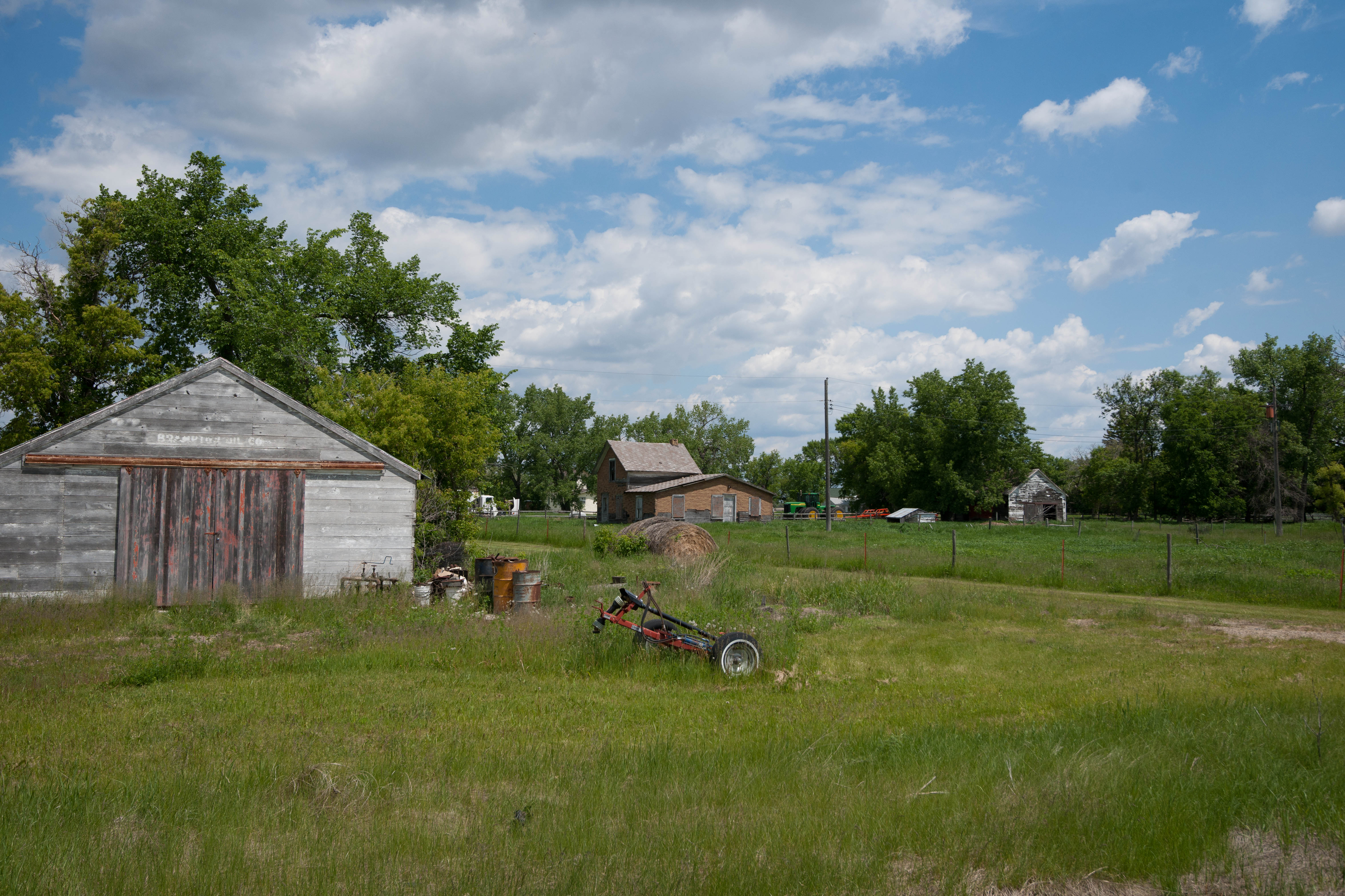
Rutland, North Dakota
Rutland, North Dakota
Rutland, North Dakota
Rutland, North Dakota

Rutland, North Dakota
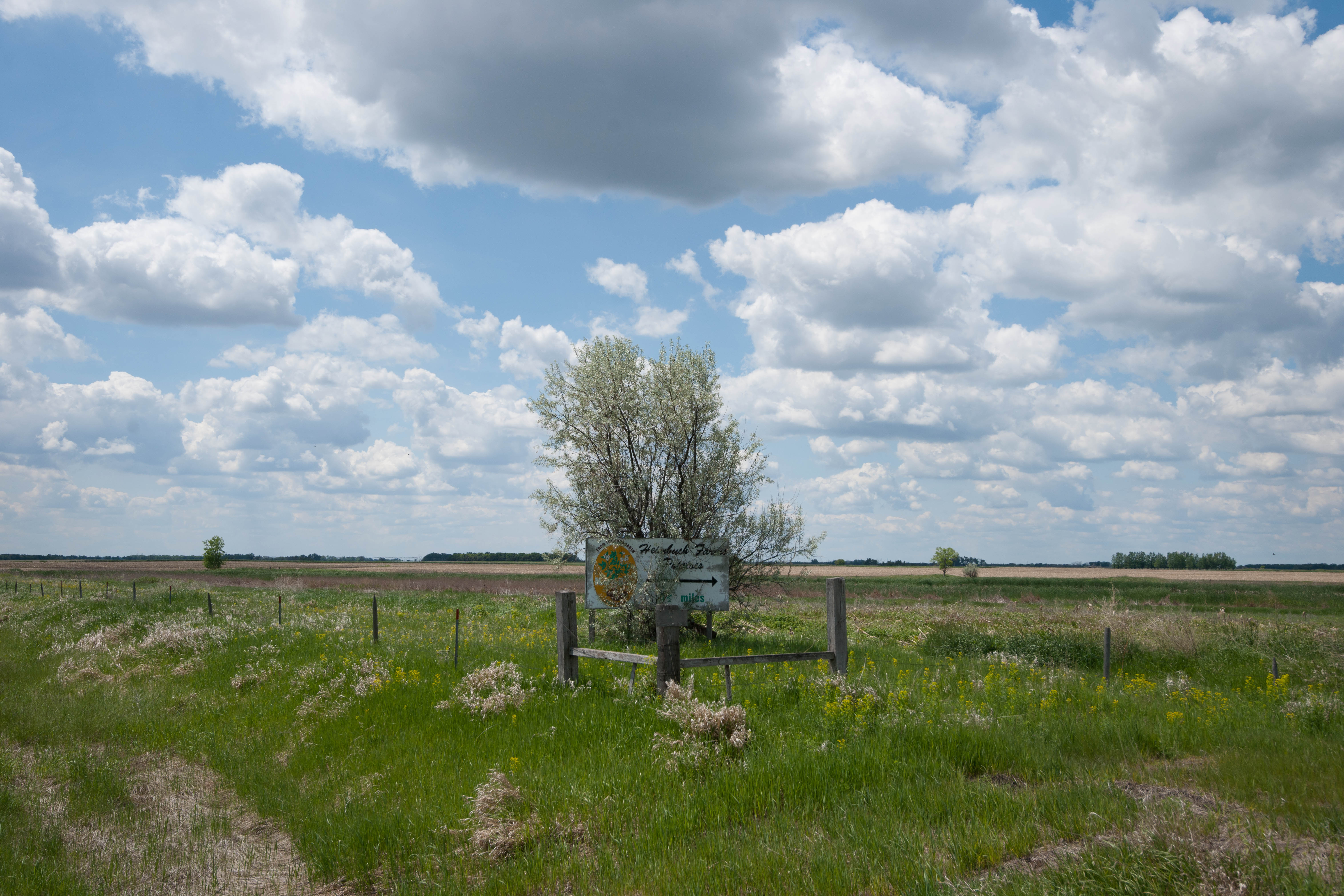
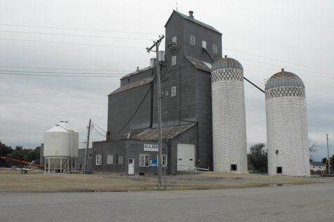
Brampton, North Dakota
Brampton, North Dakota
Topographic Map of Havana, ND, USA
Find elevation by address:

Places in Havana, ND, USA:
Places near Havana, ND, USA:
2nd Ave, Havana, ND, USA
Sargent County
University Ave, Cogswell, ND, USA
Britton
Marshall County
Gwinner
Lake City
Veblen, SD, USA
Veblen
Veblen
Hickman Township
Langford
14226 75th St Se
9165 152nd Ave Se
11103 88th St Se
Lidgerwood
5th Ave, Claremont, SD, USA
201 4th Ave Se
Oakes
Long Hollow Township
Recent Searches:
- Elevation of Zimmer Trail, Pennsylvania, USA
- Elevation of 87 Kilmartin Ave, Bristol, CT, USA
- Elevation of Honghe National Nature Reserve, QP95+PJP, Tongjiang, Heilongjiang, Jiamusi, Heilongjiang, China
- Elevation of Hercules Dr, Colorado Springs, CO, USA
- Elevation of Szlak pieszy czarny, Poland
- Elevation of Griffing Blvd, Biscayne Park, FL, USA
- Elevation of Kreuzburger Weg 13, Düsseldorf, Germany
- Elevation of Gateway Blvd SE, Canton, OH, USA
- Elevation of East W.T. Harris Boulevard, E W.T. Harris Blvd, Charlotte, NC, USA
- Elevation of West Sugar Creek, Charlotte, NC, USA