Elevation of Labyrinth Mountain, Washington, USA
Location: United States > Washington > Leavenworth >
Longitude: -121.04259
Latitude: 47.8526136
Elevation: 1841m / 6040feet
Barometric Pressure: 81KPa
Elevation Map:
Satellite Map:
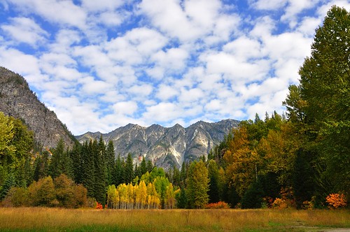
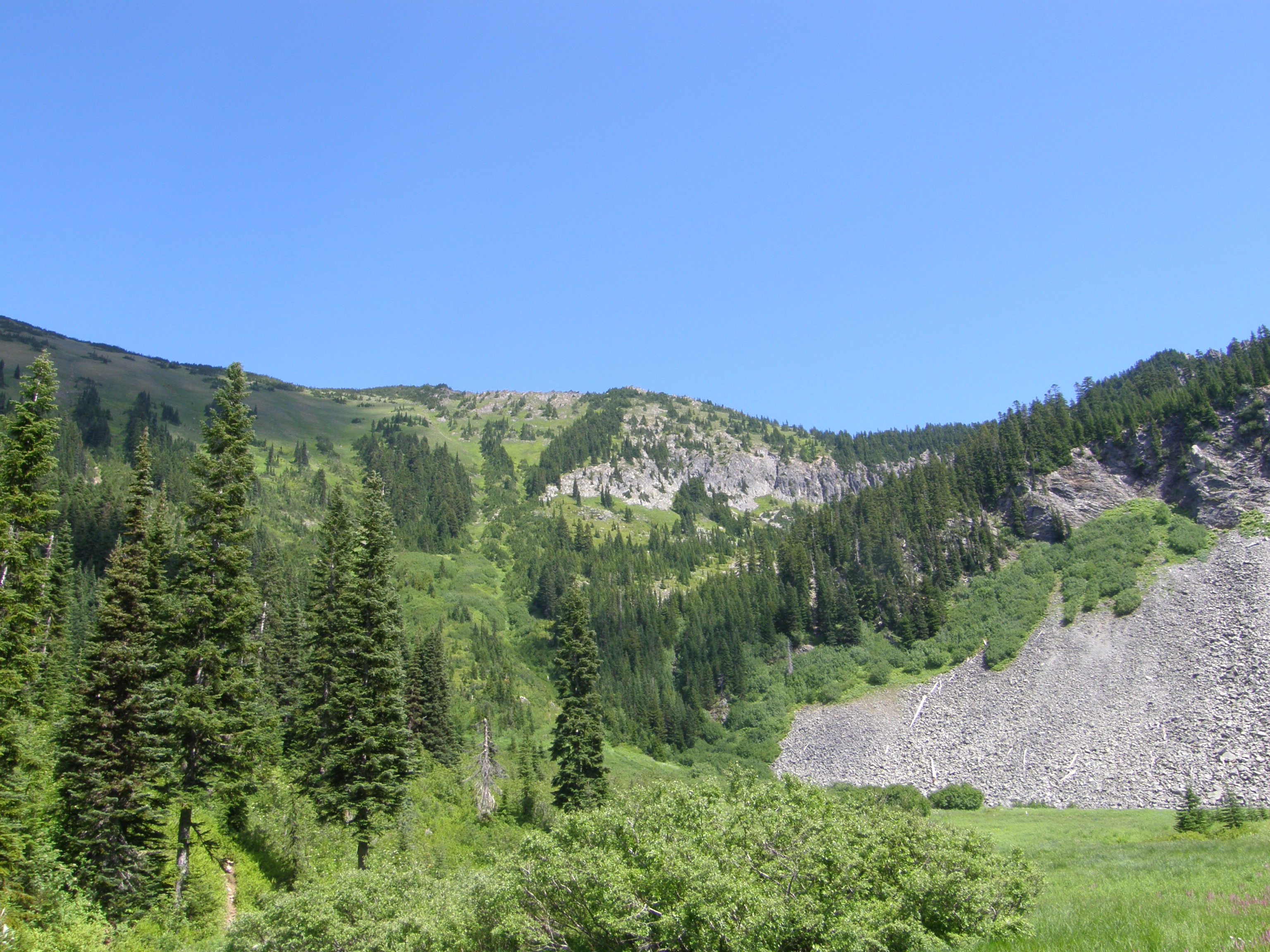
Related Photos:

Orion, Back Side of Stevens Pass

Snowshoeing at Stevens pass
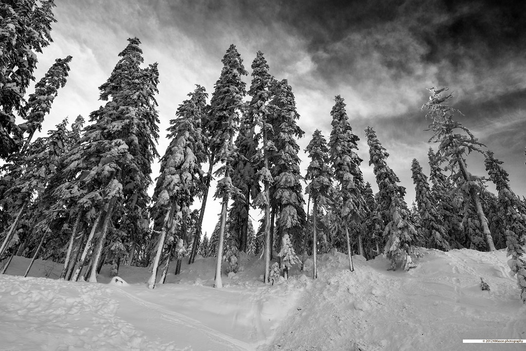
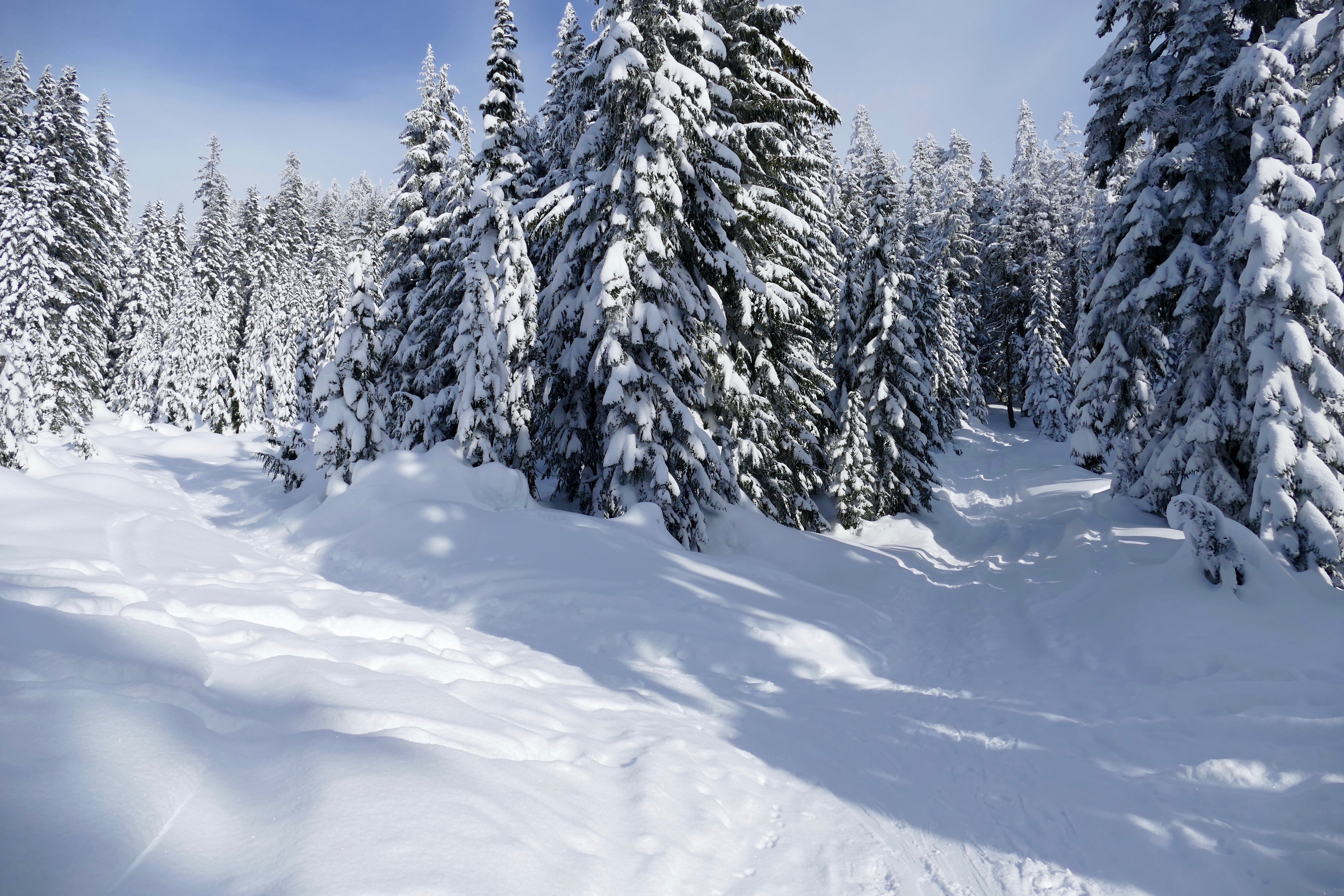
snow covered trees
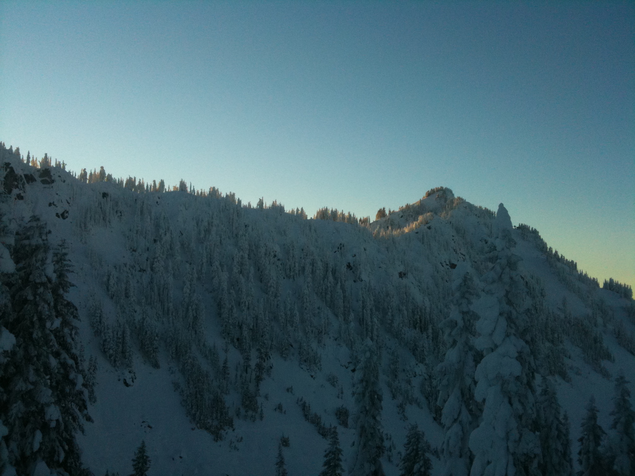
Sunset on Cowboy Mountain
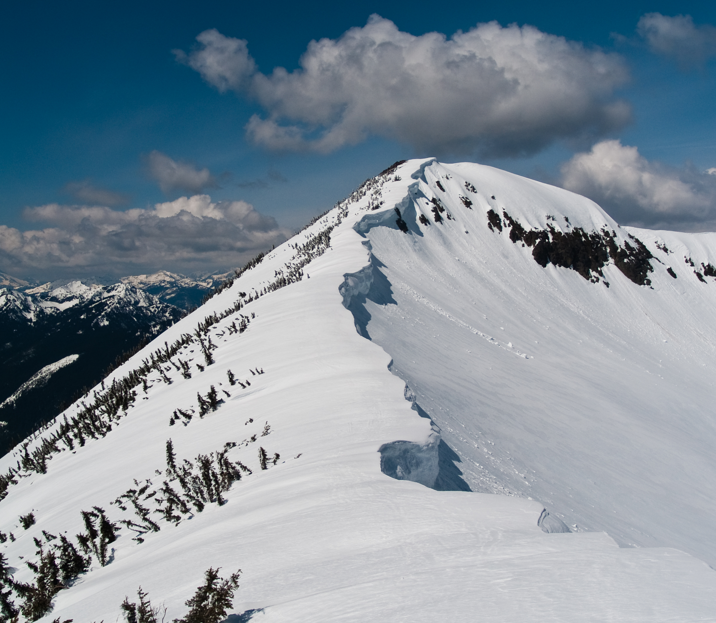
Rock Mountain cornices
View from Cellphone Tower View Point
Trail junction - Left to Skyline Lake, Straight to Cellphone Tower View Point

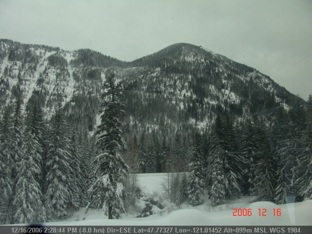
Nason-Creek-3

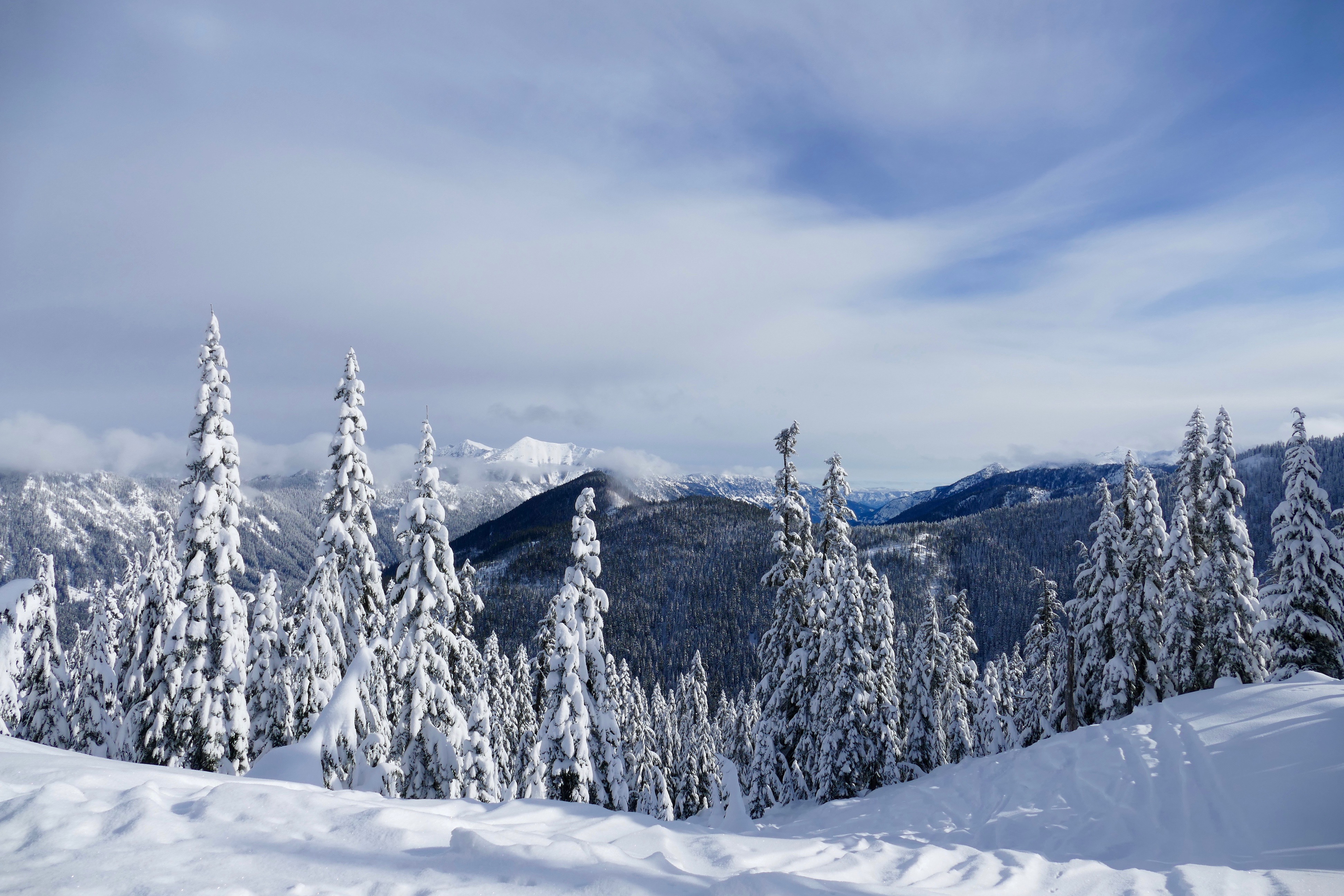
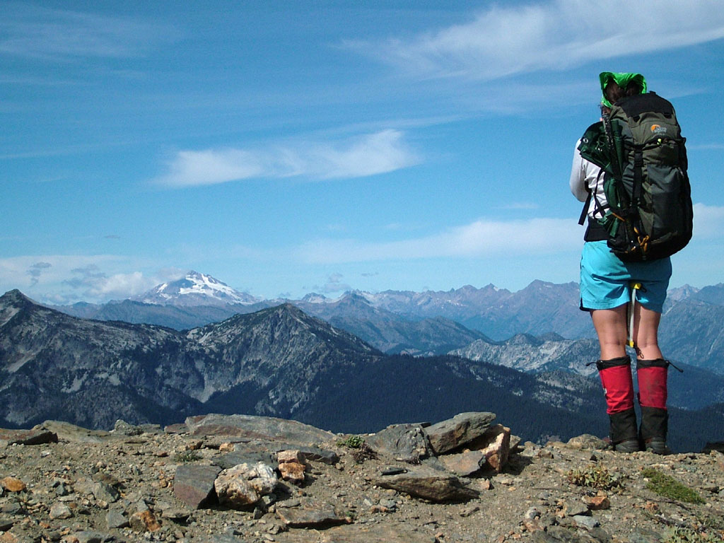
The view at 5050 feet: cannot be beaten
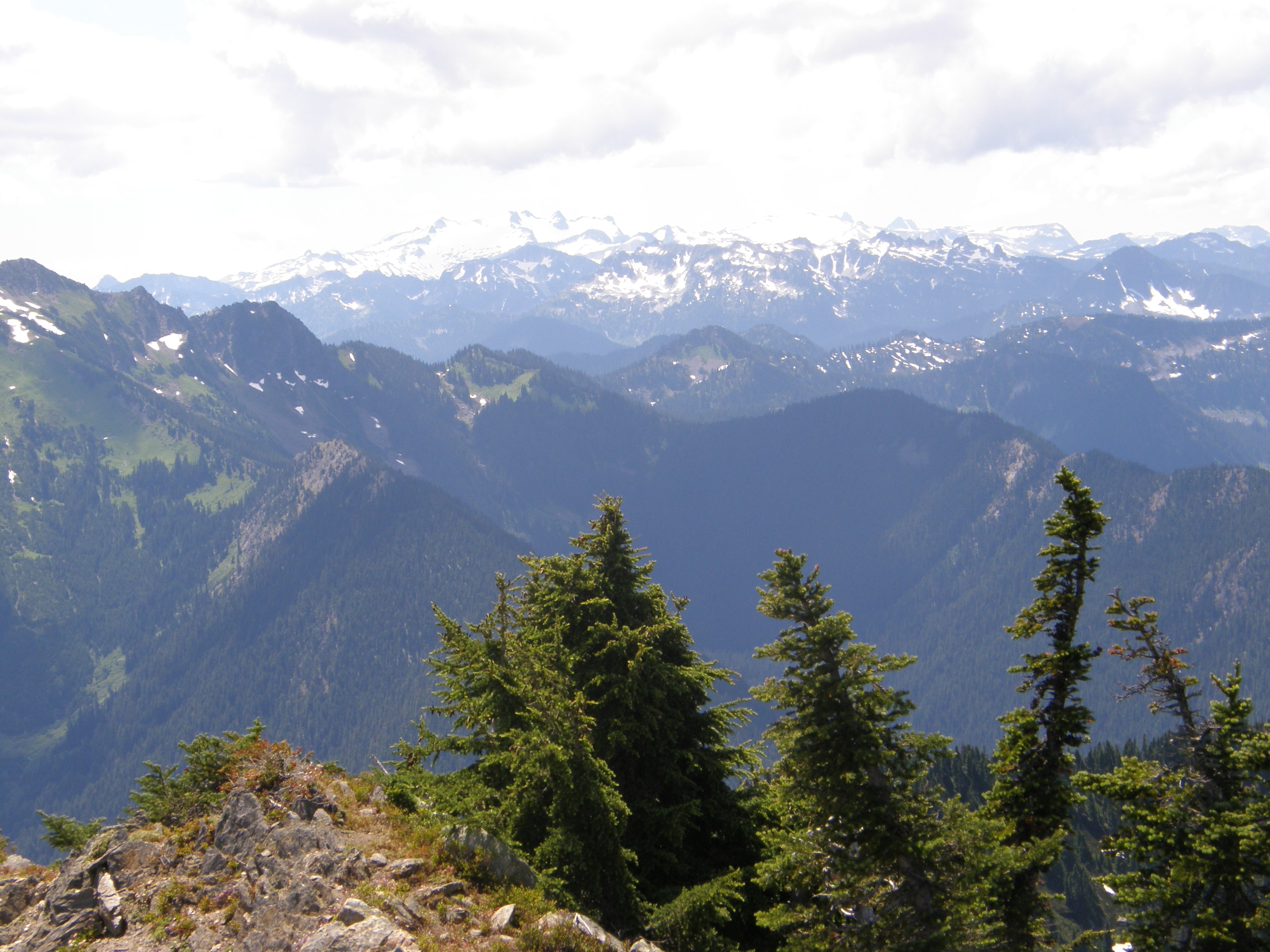
Views from "other" summit.

LV0352DSC00028.JPG
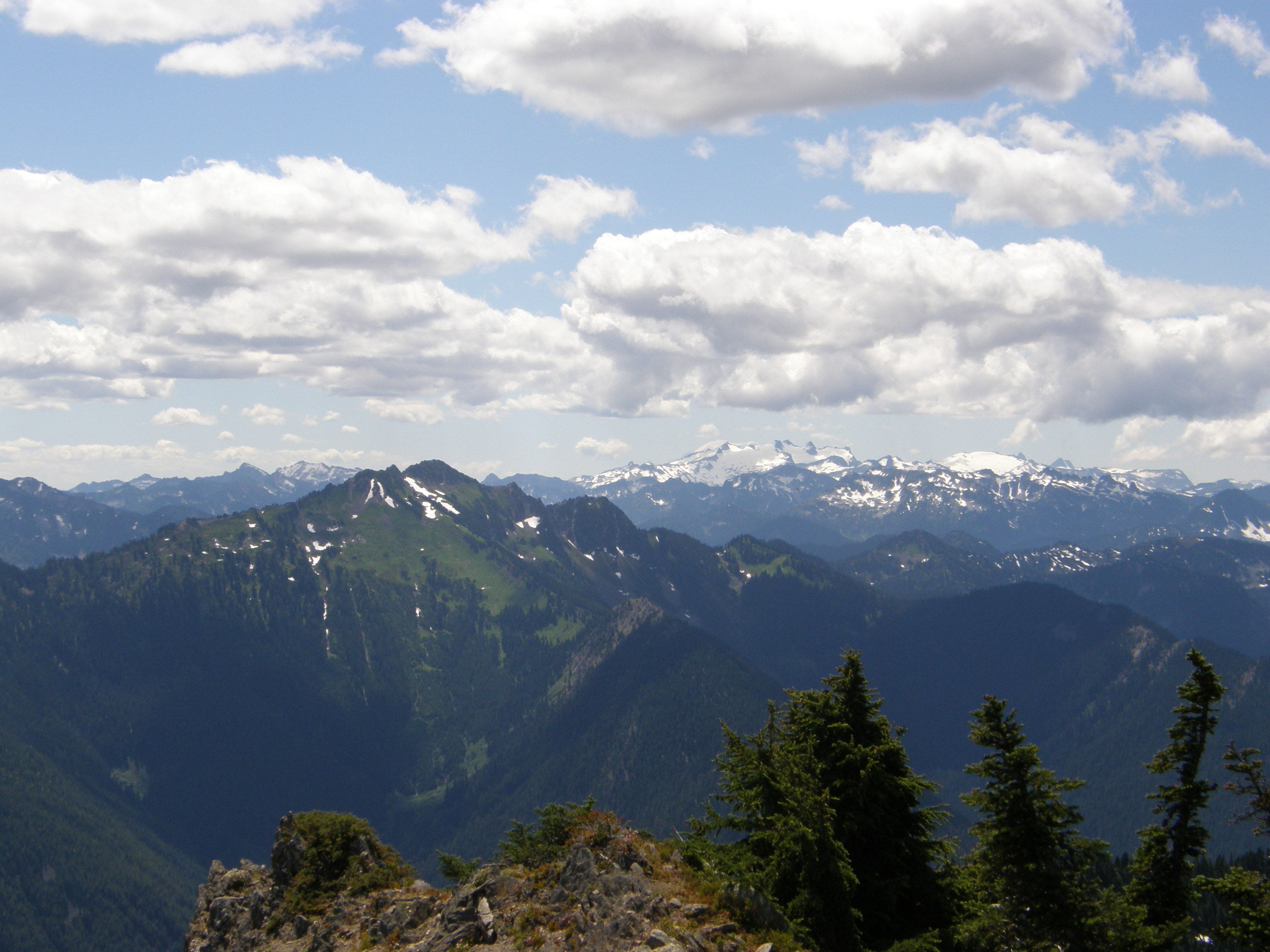
Views from "other" summit.

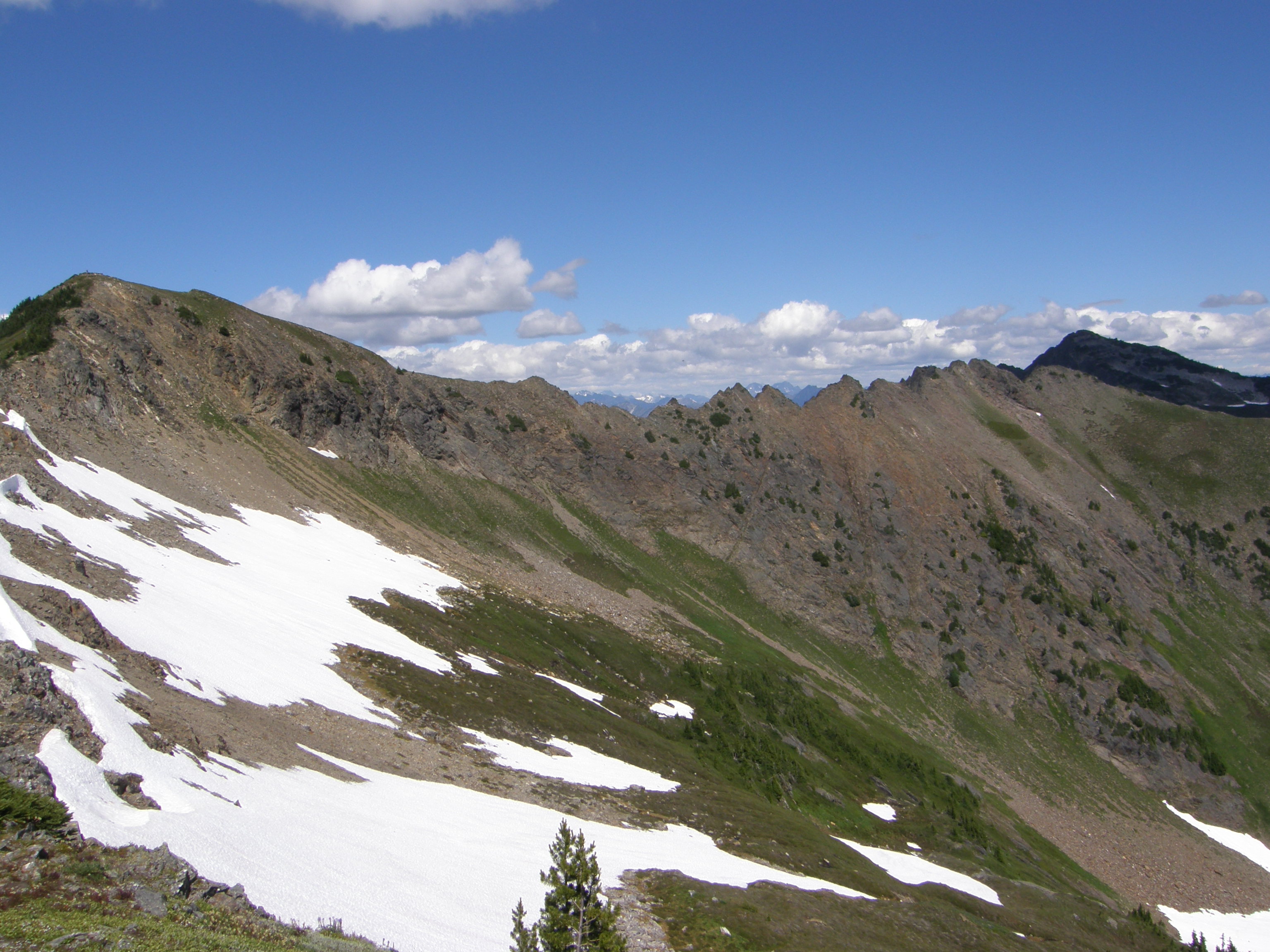
Amazing views all around

Snow Covered Mountain View #1
LV0362DSC00038.JPG

Great lunch spot view
Lower Napeequa Valley View
VIews back up towards summit from down below.

View from above
The View is the Reward
Views from "other" summit.
Topographic Map of Labyrinth Mountain, Washington, USA
Find elevation by address:

Places near Labyrinth Mountain, Washington, USA:
Jove Peak
Mount Howard
Fortune Mountain
Evergreen Mountain
Glacier Peak
Red Mountain
Kyes Peak
Columbia Peak
Wilmans Peaks East
Sloan Peak
Foggy Peak
Spire Mountain
Troublesome Creek Campground
Hubbart Peak
Bedal Peak
59624 Index-galena Rd
Silvertip Peak
Gunn Peak
Twin Peaks East
Mount Forgotten
Recent Searches:
- Elevation of Corso Fratelli Cairoli, 35, Macerata MC, Italy
- Elevation of Tallevast Rd, Sarasota, FL, USA
- Elevation of 4th St E, Sonoma, CA, USA
- Elevation of Black Hollow Rd, Pennsdale, PA, USA
- Elevation of Oakland Ave, Williamsport, PA, USA
- Elevation of Pedrógão Grande, Portugal
- Elevation of Klee Dr, Martinsburg, WV, USA
- Elevation of Via Roma, Pieranica CR, Italy
- Elevation of Tavkvetili Mountain, Georgia
- Elevation of Hartfords Bluff Cir, Mt Pleasant, SC, USA