Elevation of Wilmans Peaks East, Washington, USA
Location: United States > Washington > Snohomish County >
Longitude: -121.36166
Latitude: 47.9702777
Elevation: 1926m / 6319feet
Barometric Pressure: 80KPa
Elevation Map:
Satellite Map:
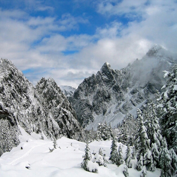
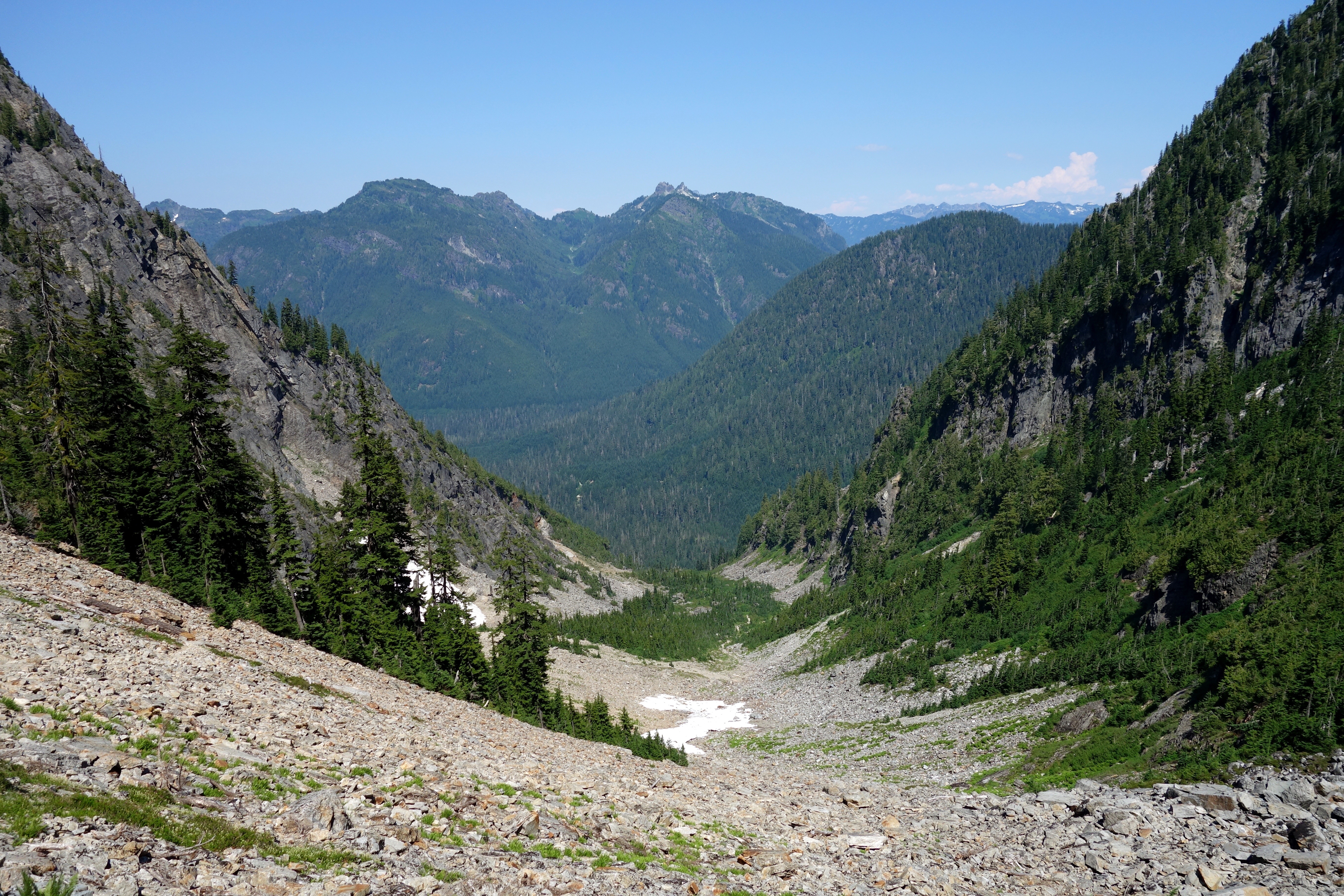
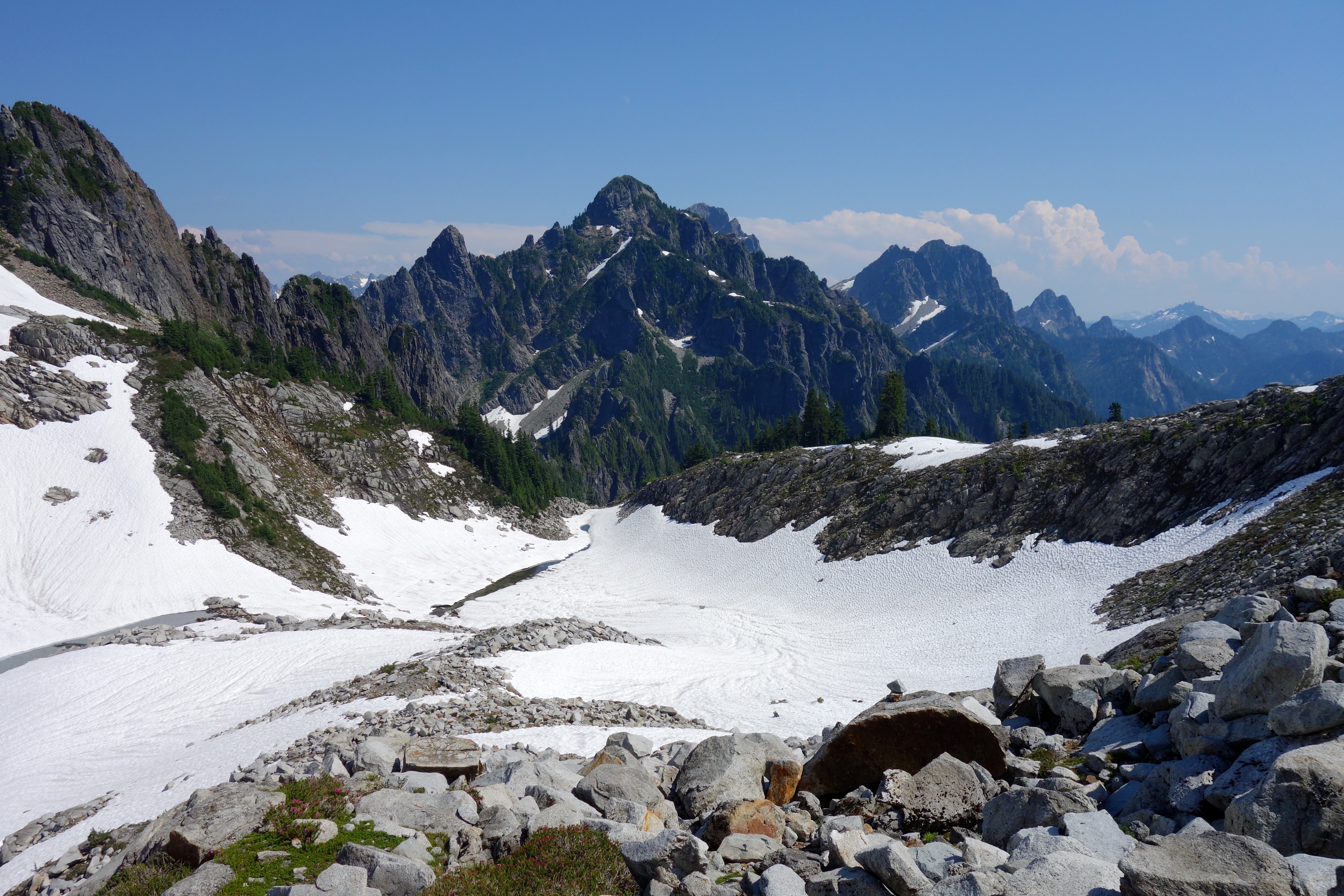
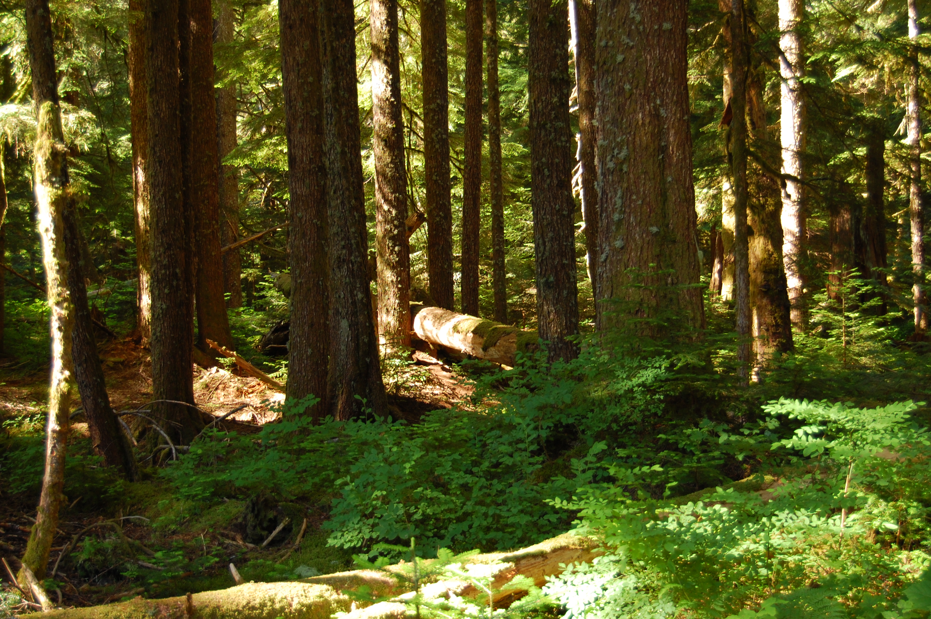
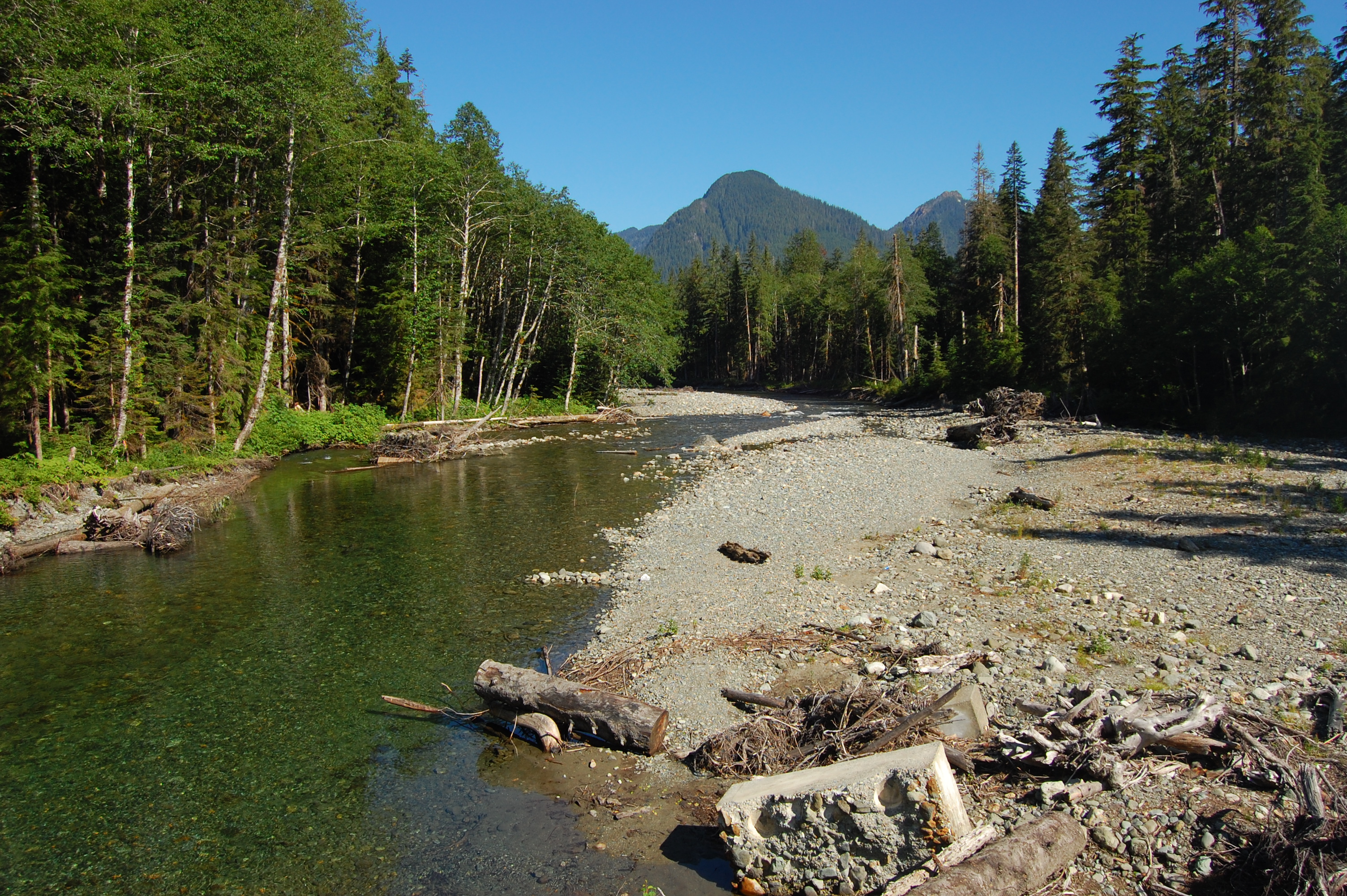
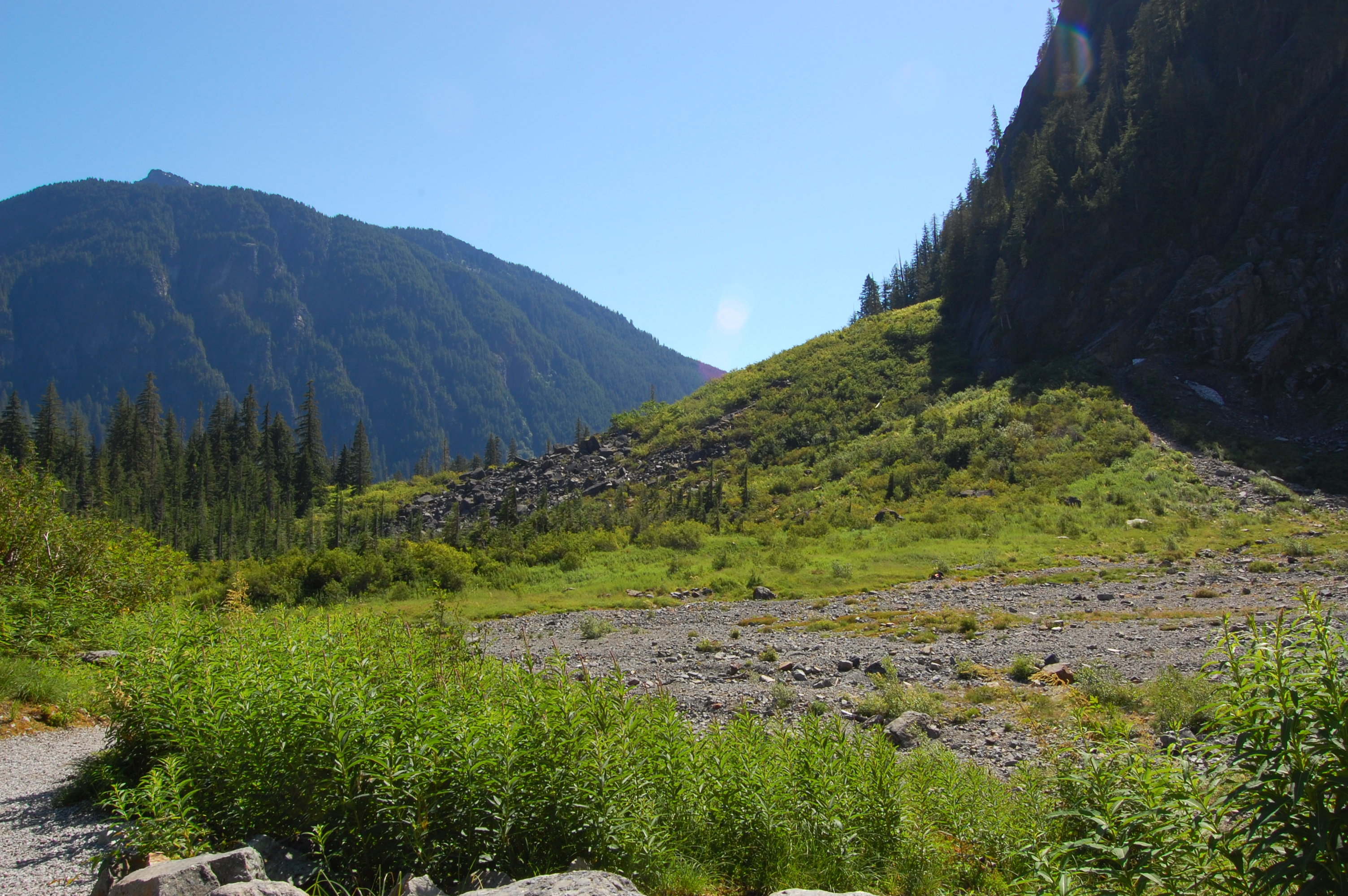
Related Photos:
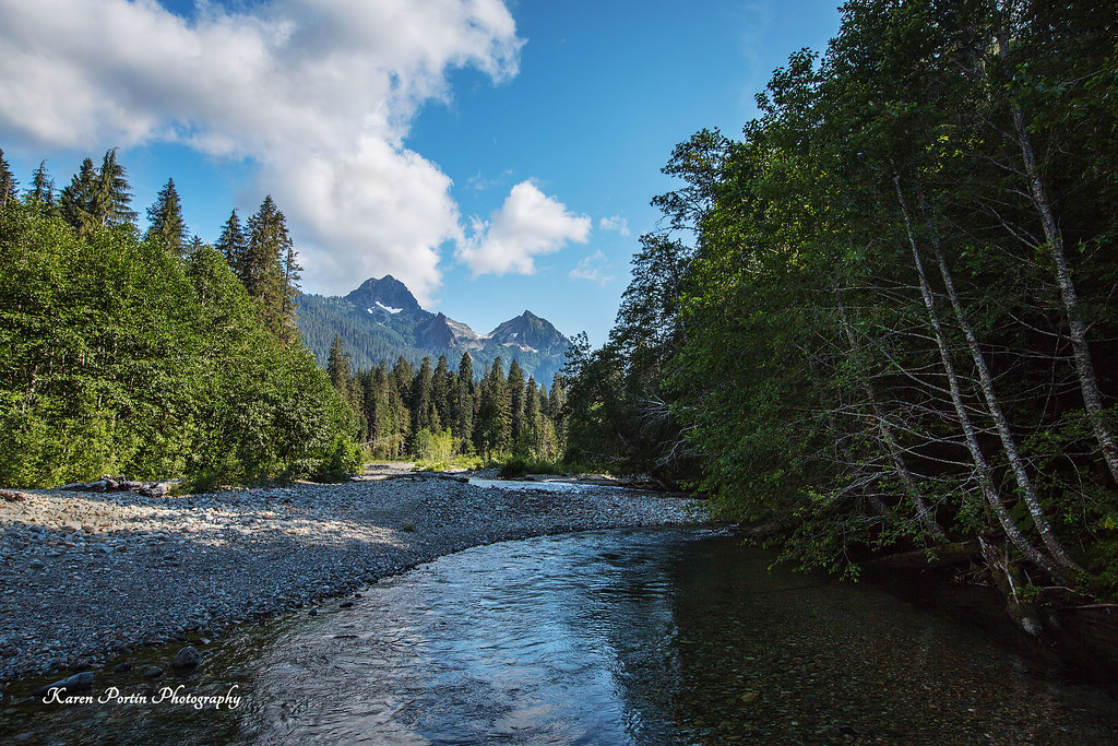
blanca view
North Fork Sauk hikes
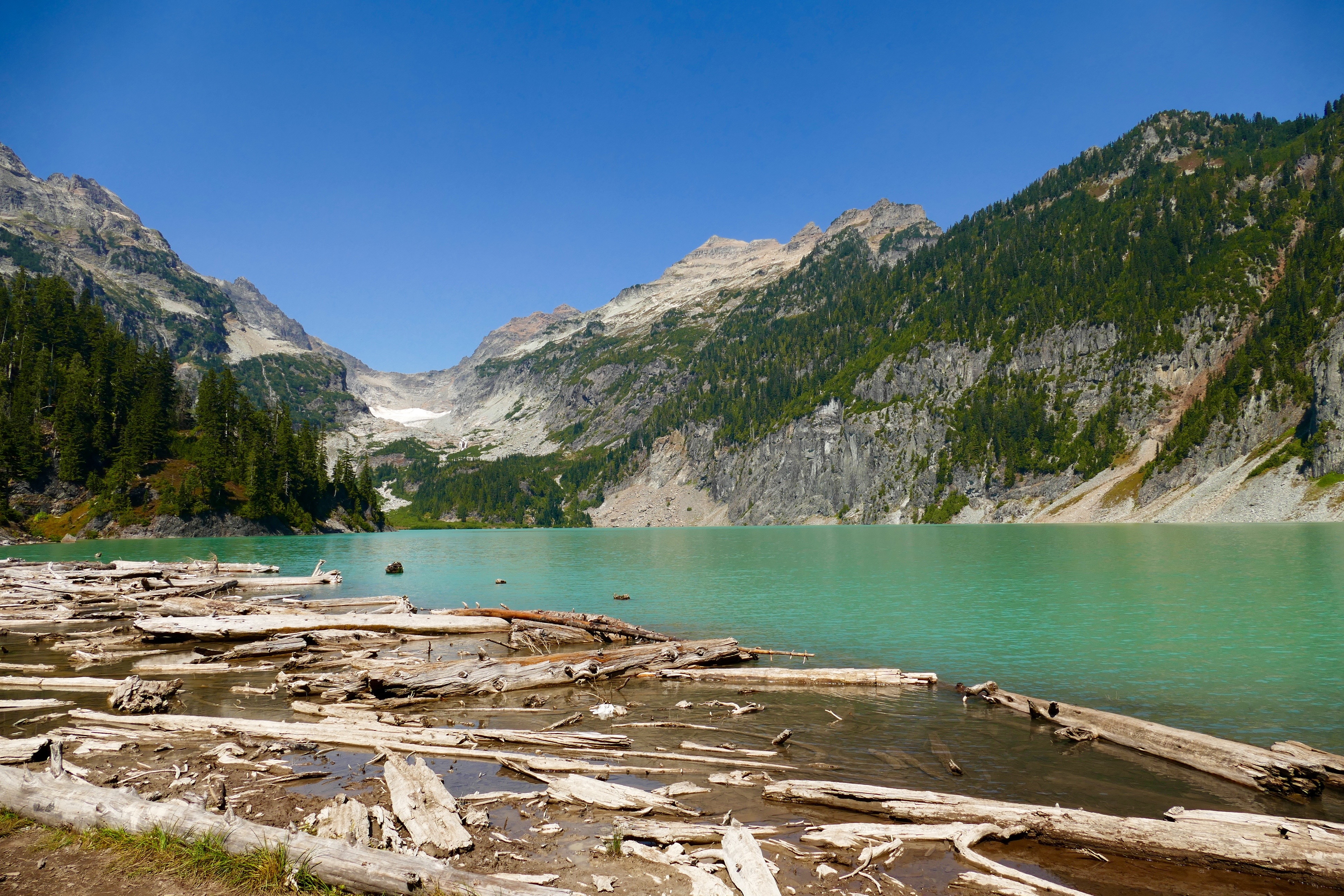
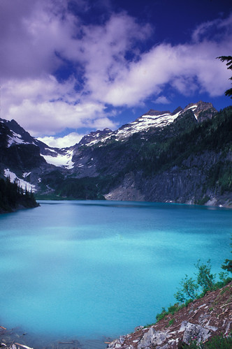
Blanca Lake
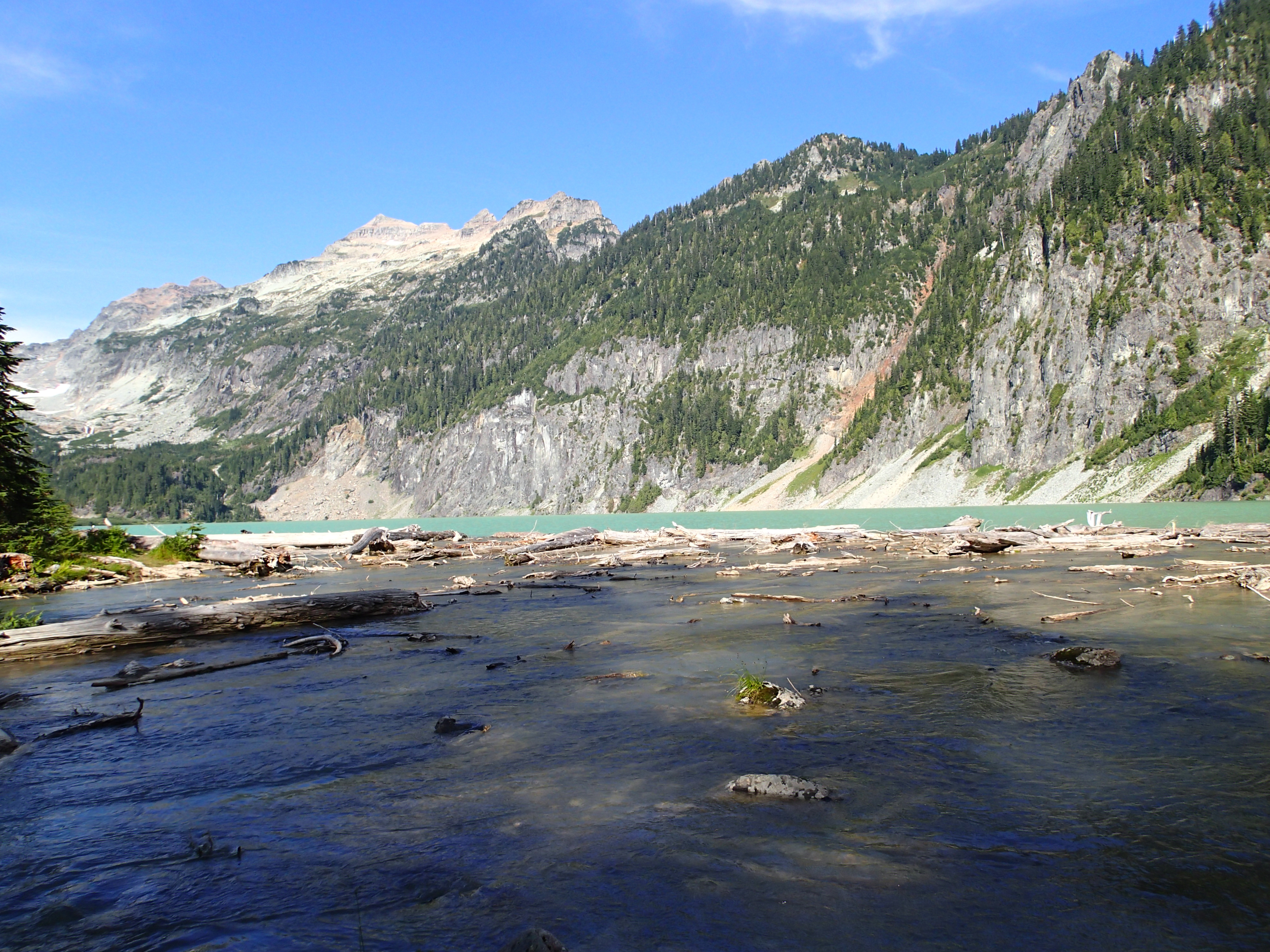
Blanca Lake Trip
View from Log Bridge
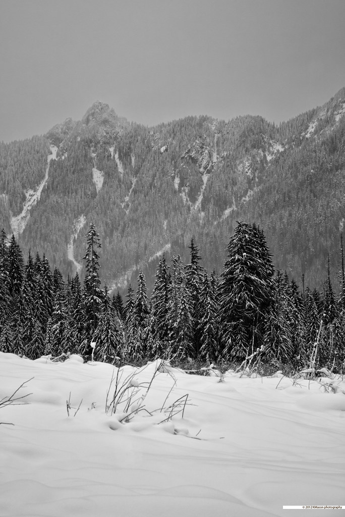
first snow
Mt. Baker-Snoqualmie National Forest
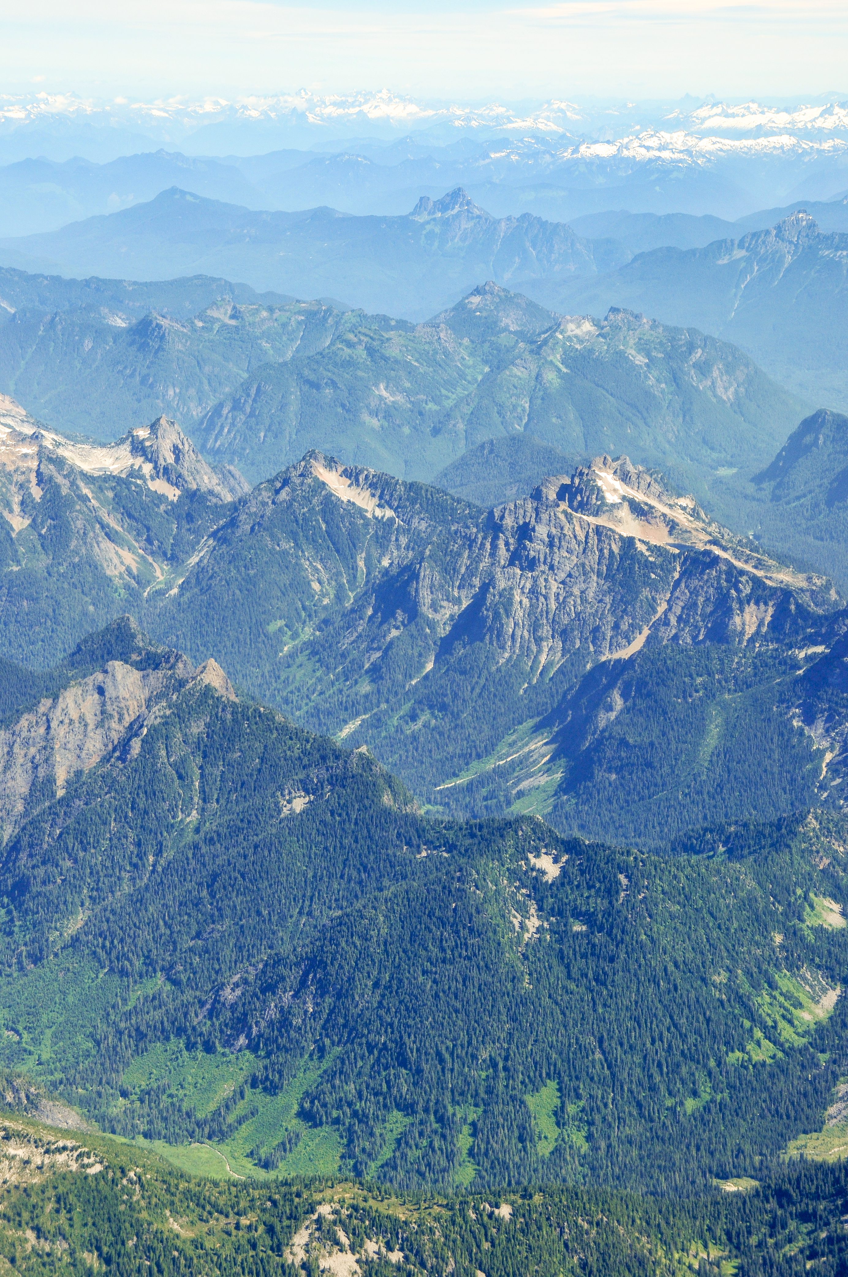
view from mount dickerman

View from Mount Dickerman trail
view from mount dickerman
view from mount dickerman

View from Big Four Ice Caves Trail
view from Headlee Pass
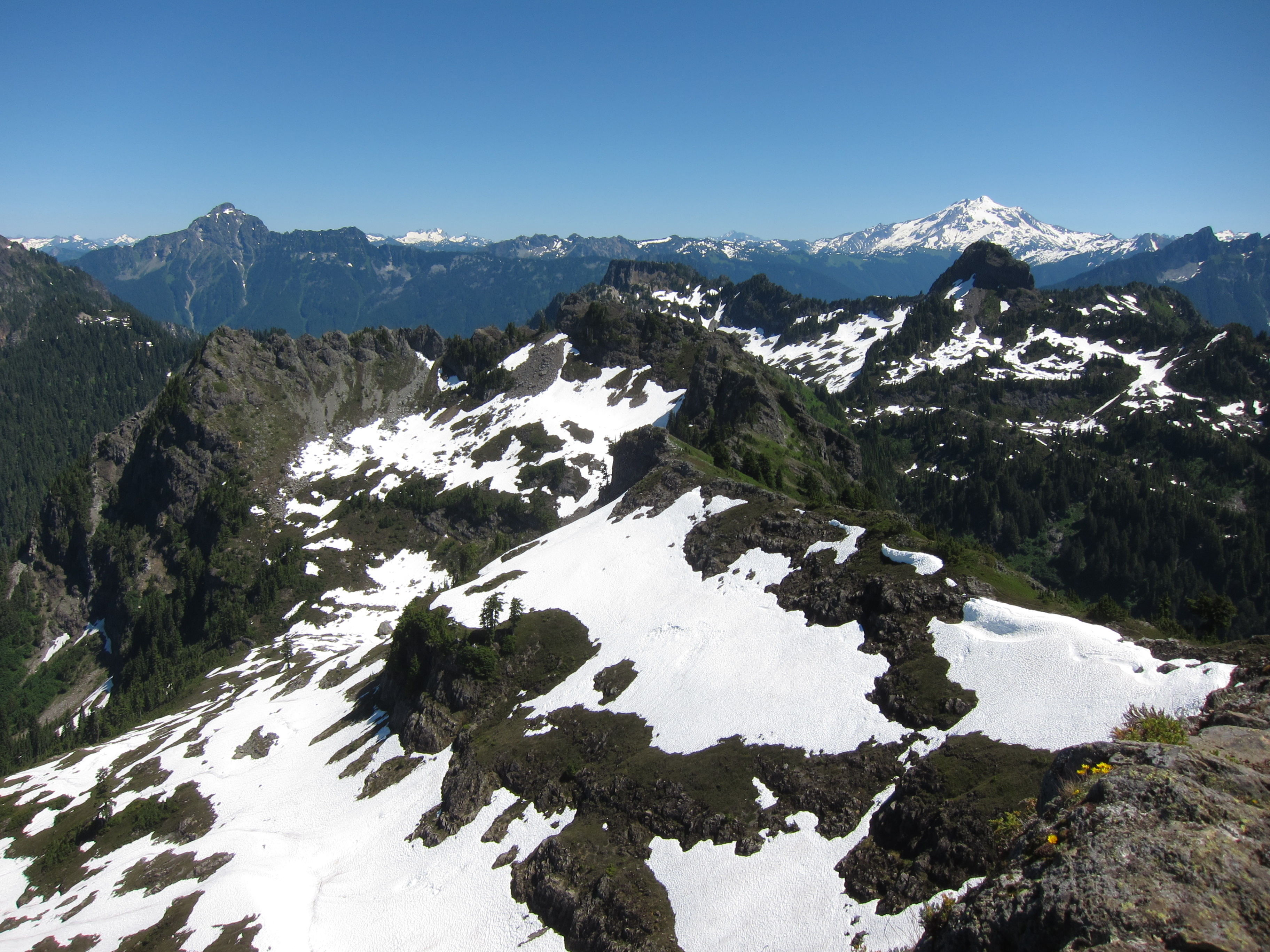
View from Gothic Peak
Sunrise Mine Trail — Snohomish County, Washington
View from Headlee Pass
view from above Vesper Lake
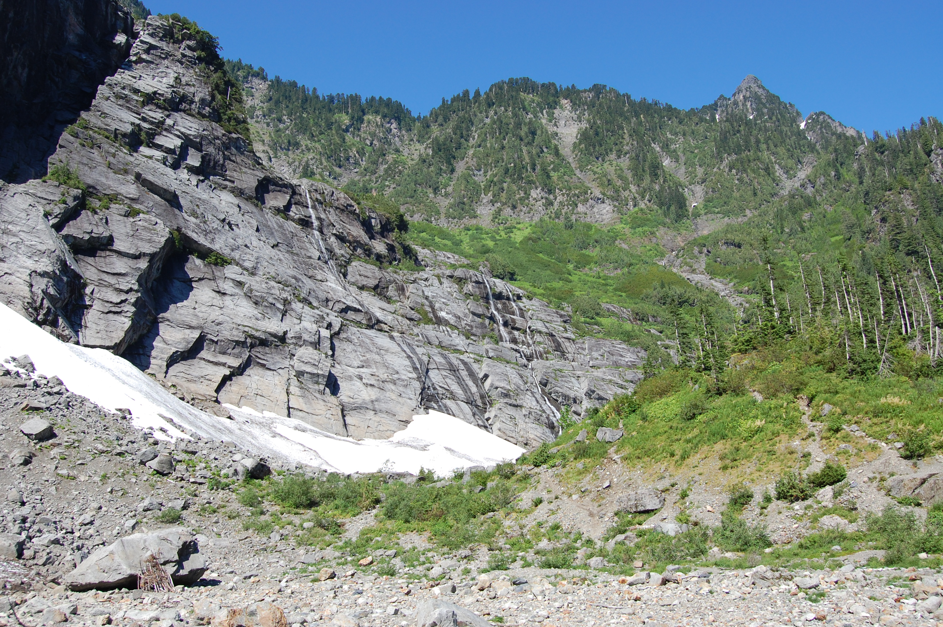
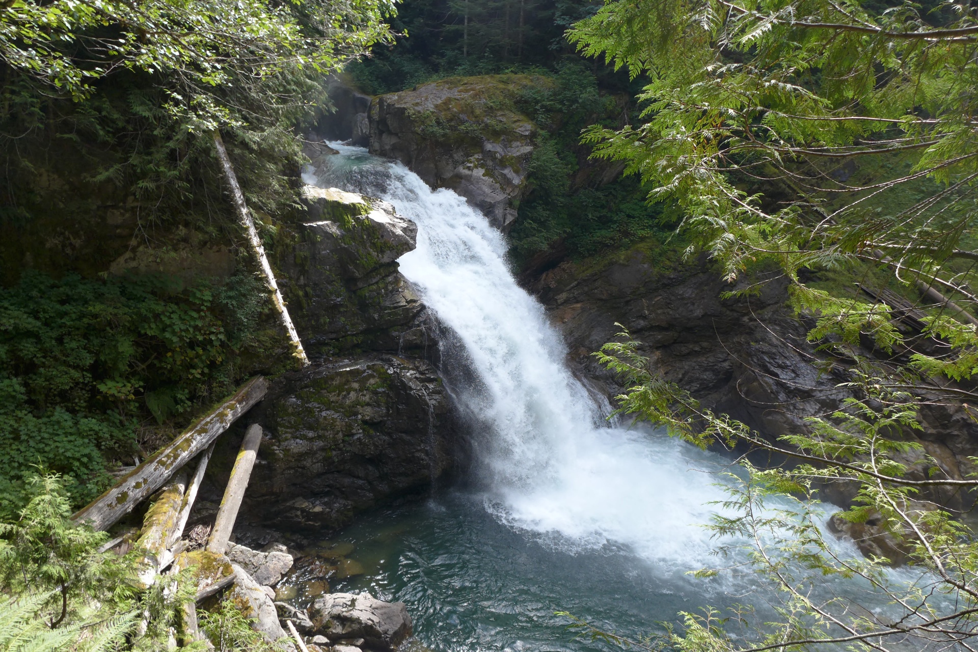
Big 4 Ice Caves - view
Big 4 Ice Caves - Trail View
Big 4 Ice Caves - View from Bridge
Big 4 Ice Caves - view from the trail end
Topographic Map of Wilmans Peaks East, Washington, USA
Find elevation by address:

Places near Wilmans Peaks East, Washington, USA:
Columbia Peak
Foggy Peak
Kyes Peak
Silvertip Peak
Hubbart Peak
Sloan Peak
Troublesome Creek Campground
Bedal Peak
59624 Index-galena Rd
Spire Mountain
Twin Peaks East
Mount Dickerman
Red Mountain
Mount Forgotten
Evergreen Mountain
Gunn Peak
Big Four Mountain
Fortune Mountain
Beaver Creek Group Camp
52104 Skyco Dr
Recent Searches:
- Elevation of Corso Fratelli Cairoli, 35, Macerata MC, Italy
- Elevation of Tallevast Rd, Sarasota, FL, USA
- Elevation of 4th St E, Sonoma, CA, USA
- Elevation of Black Hollow Rd, Pennsdale, PA, USA
- Elevation of Oakland Ave, Williamsport, PA, USA
- Elevation of Pedrógão Grande, Portugal
- Elevation of Klee Dr, Martinsburg, WV, USA
- Elevation of Via Roma, Pieranica CR, Italy
- Elevation of Tavkvetili Mountain, Georgia
- Elevation of Hartfords Bluff Cir, Mt Pleasant, SC, USA