Elevation of Troublesome Creek Campground, Gold Bar, WA, United States
Location: United States > Washington > Snohomish County > Sultan >
Longitude: -121.40371
Latitude: 47.8976068
Elevation: 380m / 1247feet
Barometric Pressure: 97KPa
Elevation Map:
Satellite Map:
Related Photos:
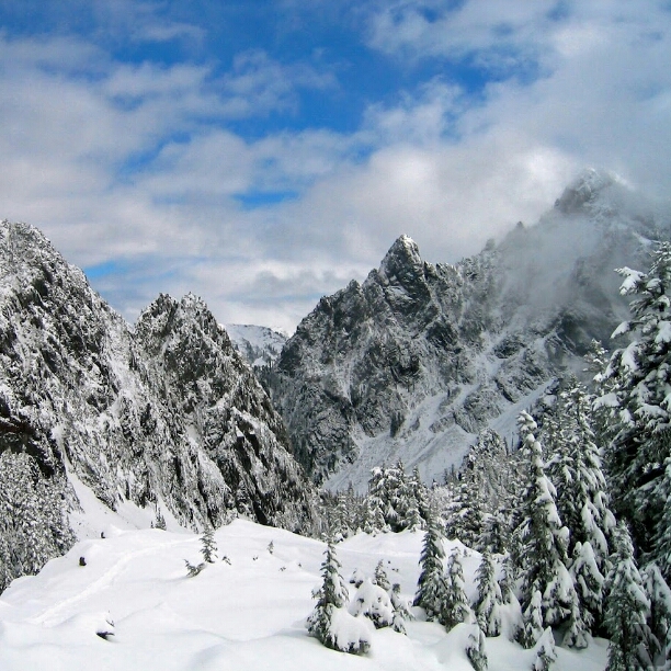
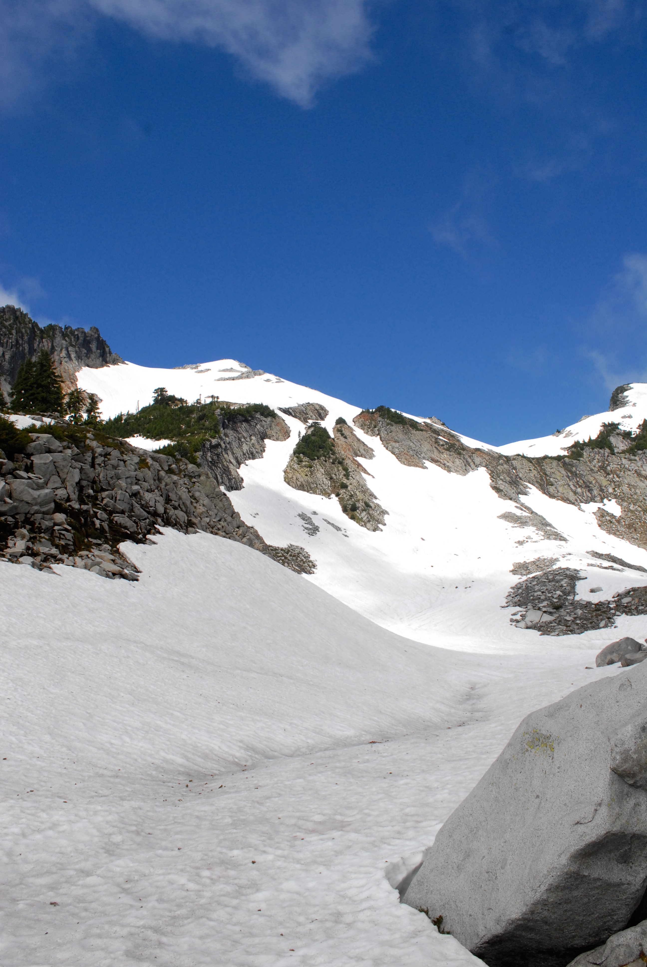
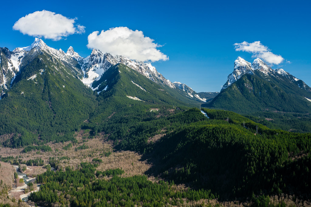
Sunrise Mine Trail — Snohomish County, Washington
bozo blocking the view
View from Barlow Point area.
View from Log Bridge
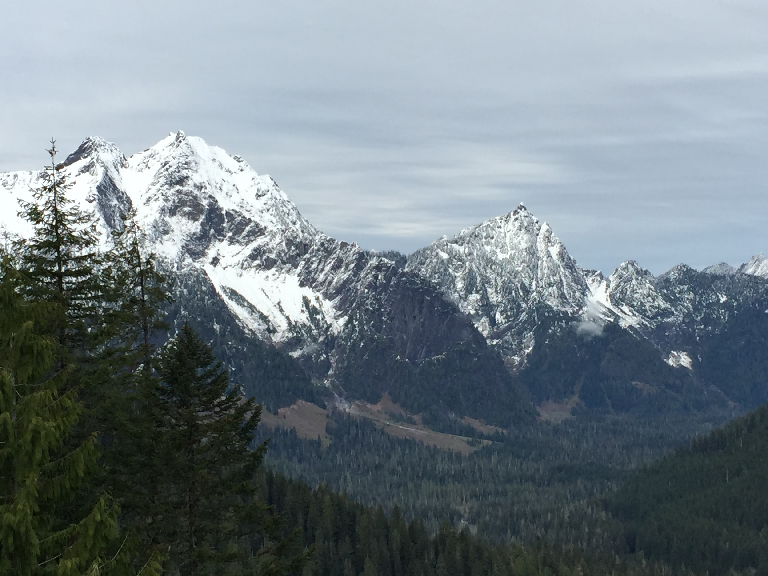
View from Barlow Point area.
View from Barlow Point area.
blanca view
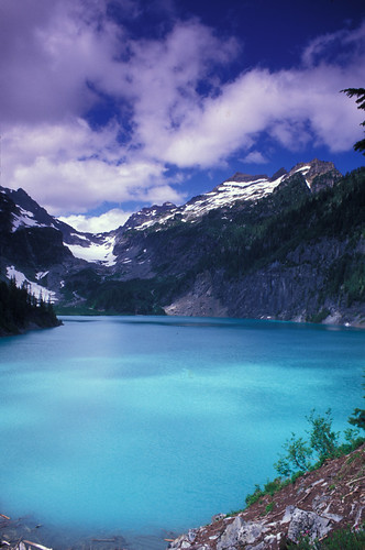
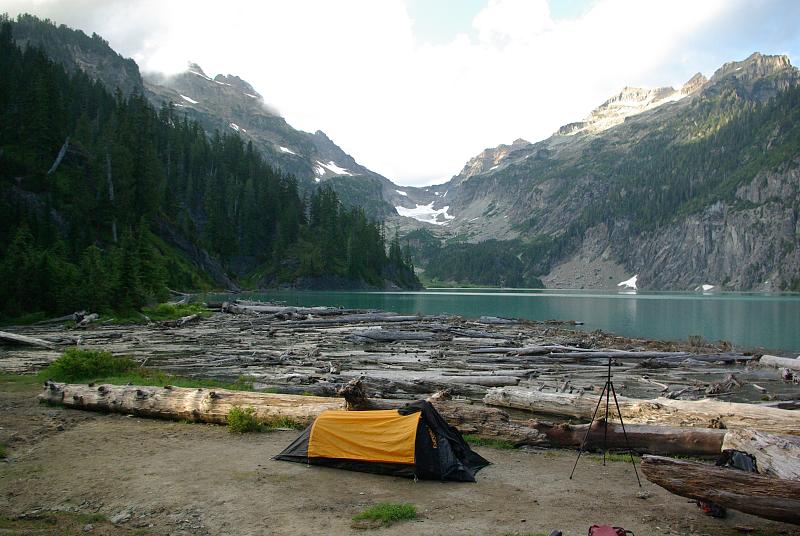
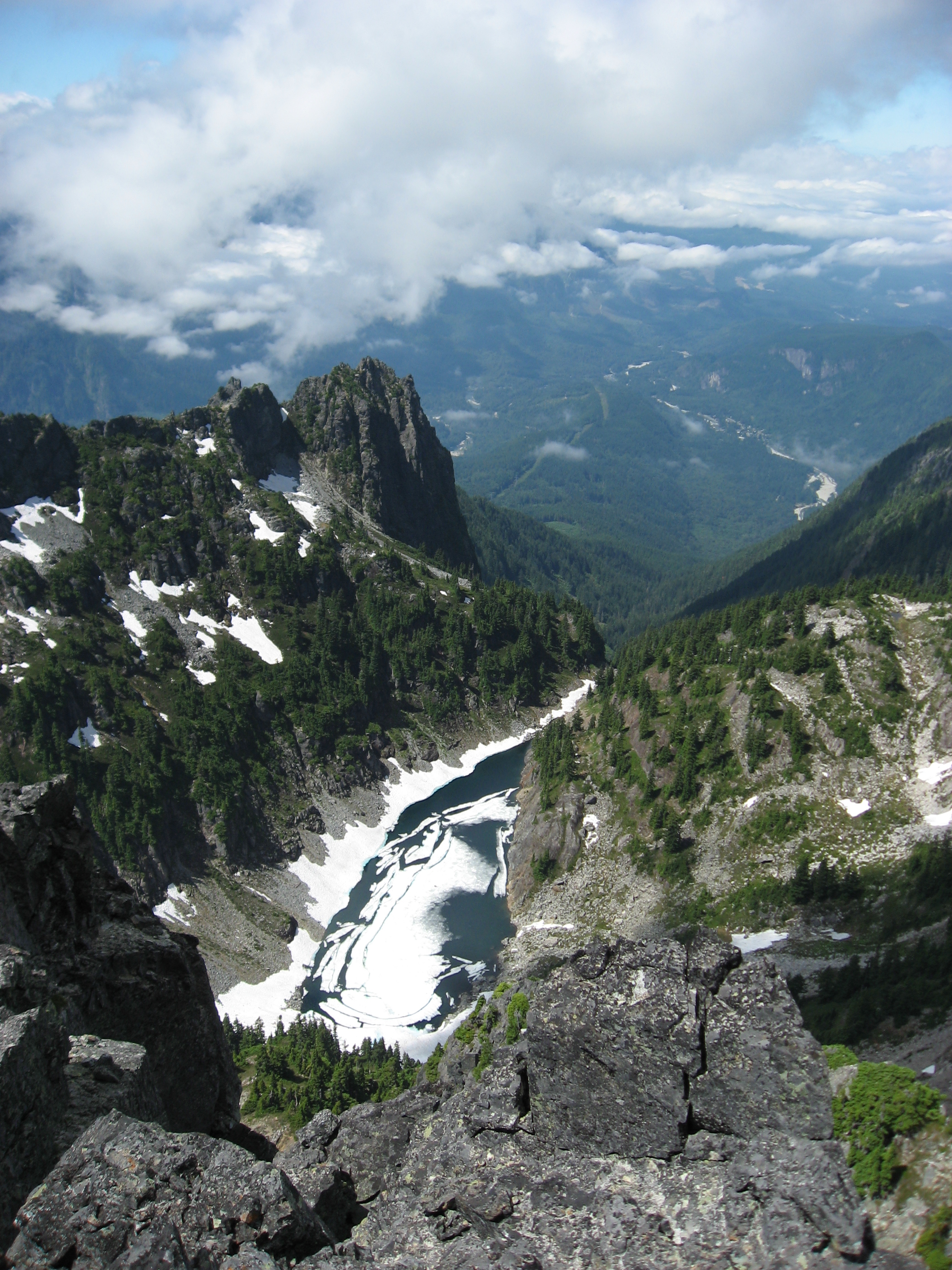
Copper Lake
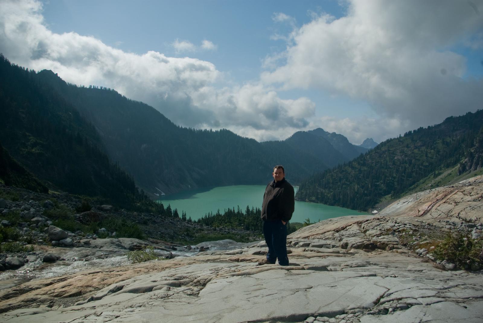
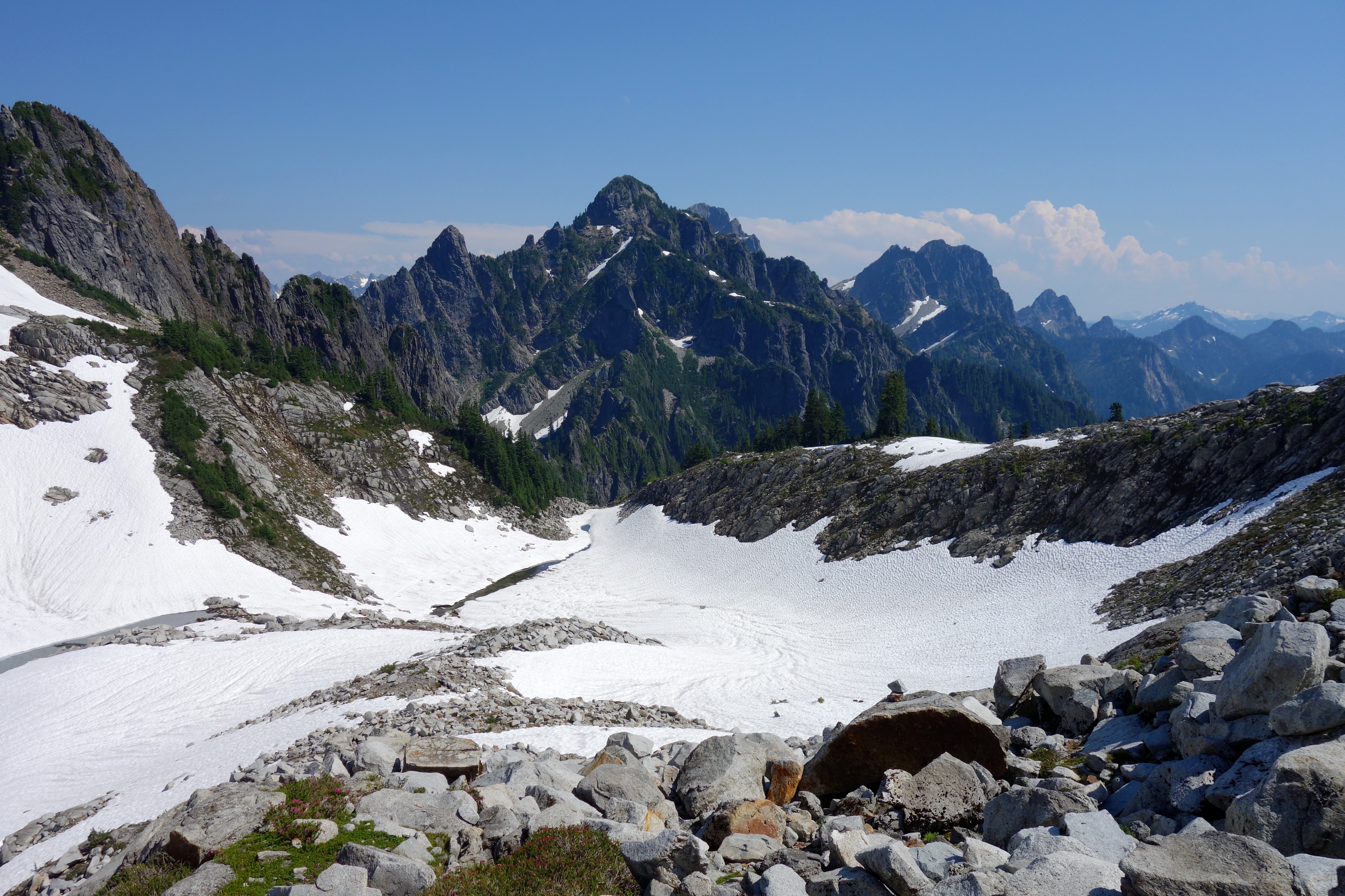
Better view of the goal.
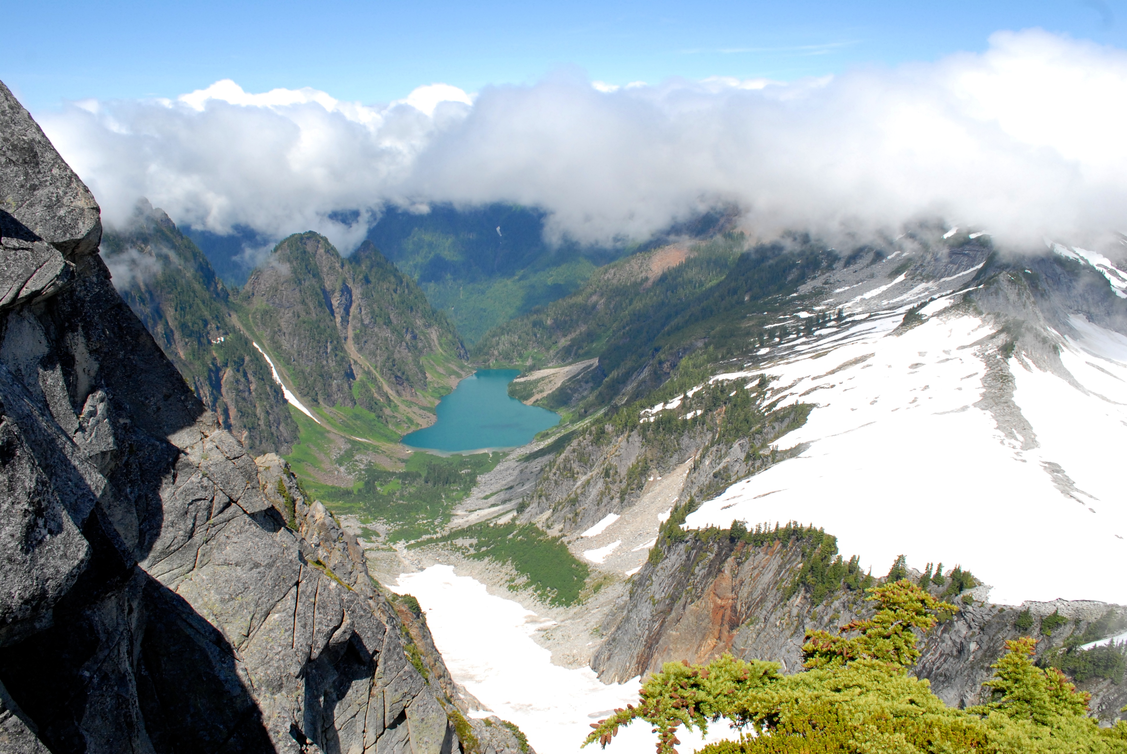
view from above Vesper Lake
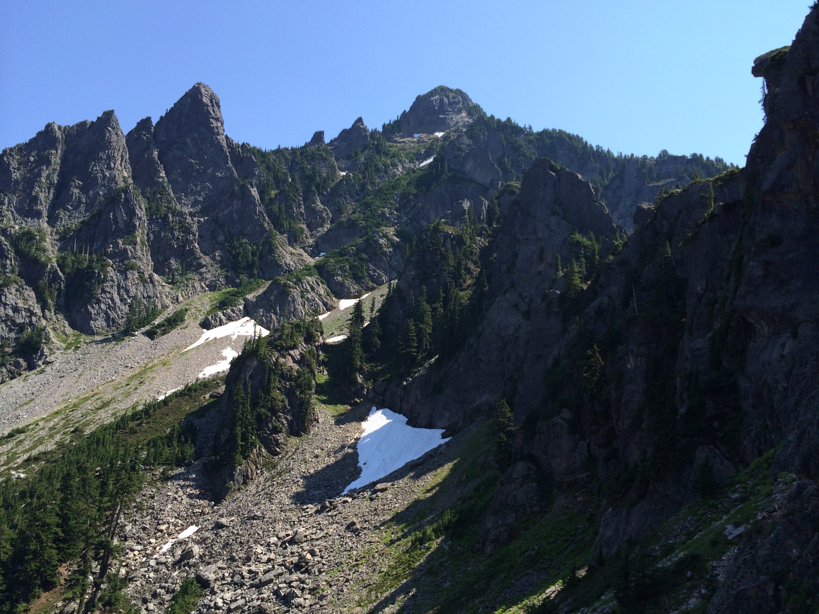
view from Headlee Pass
one bedroom condo with a view
View from Barlow Point area.
View from Gothic Peak
080713_007-View of Del Campo and Lewis Peaks

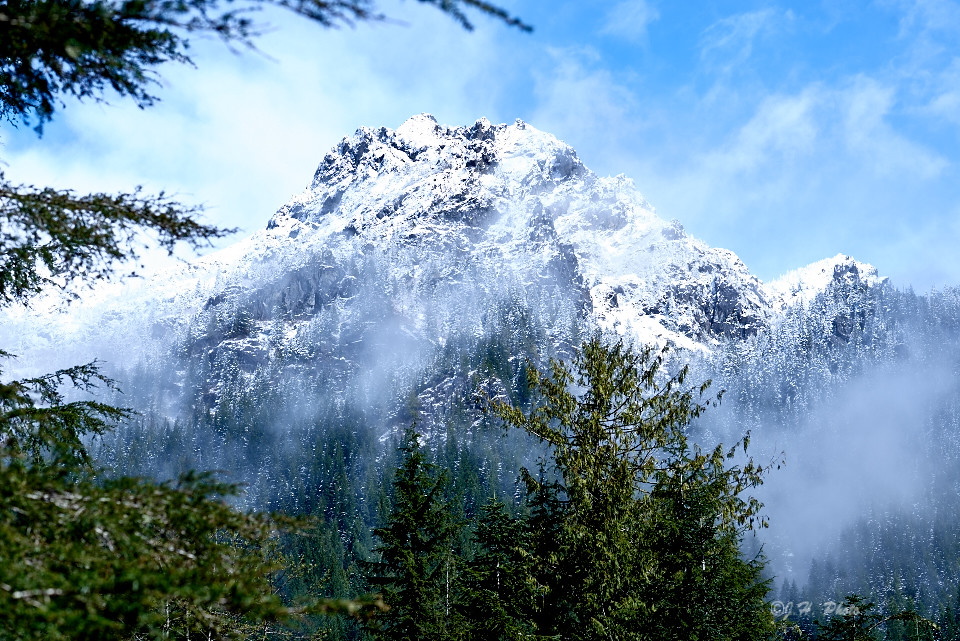
Glacier Peak
View from Index
Views From The Wall
The road, below first view point
LonelyMountain 1
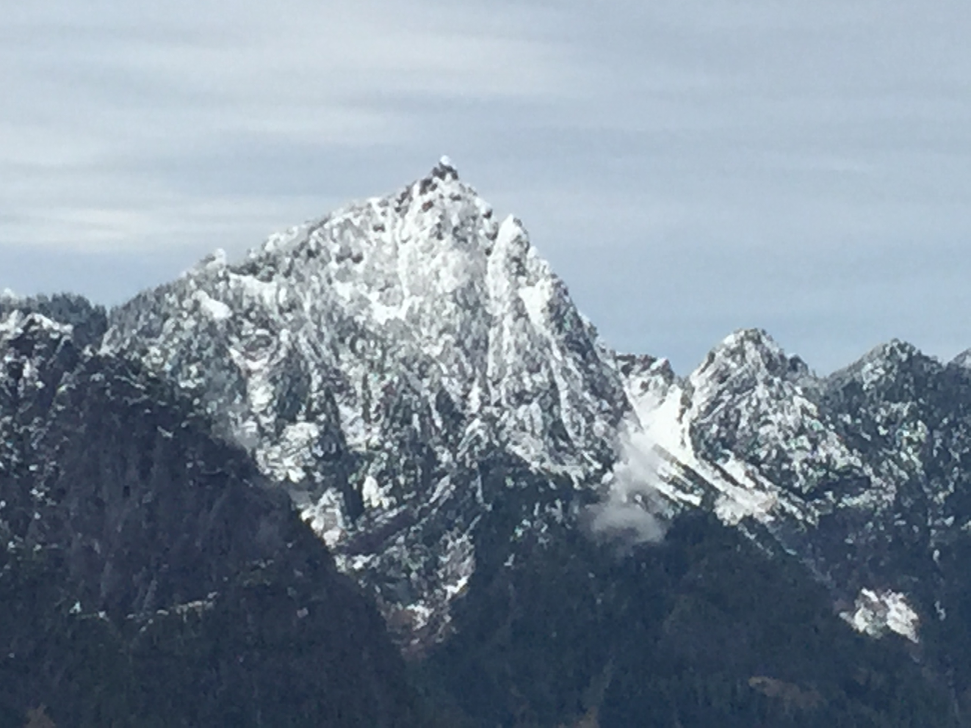
View from Gunn Peak
Topographic Map of Troublesome Creek Campground, Gold Bar, WA, United States
Find elevation by address:

Places near Troublesome Creek Campground, Gold Bar, WA, United States:
59624 Index-galena Rd
Spire Mountain
Hubbart Peak
Columbia Peak
Silvertip Peak
Wilmans Peaks East
Gunn Peak
Kyes Peak
Foggy Peak
52104 Skyco Dr
Evergreen Mountain
19529 River Pl
Sloan Peak
Index
Bedal Peak
Twin Peaks East
Mount Dickerman
Big Four Mountain
Mount Forgotten
Fortune Mountain
Recent Searches:
- Elevation of Corso Fratelli Cairoli, 35, Macerata MC, Italy
- Elevation of Tallevast Rd, Sarasota, FL, USA
- Elevation of 4th St E, Sonoma, CA, USA
- Elevation of Black Hollow Rd, Pennsdale, PA, USA
- Elevation of Oakland Ave, Williamsport, PA, USA
- Elevation of Pedrógão Grande, Portugal
- Elevation of Klee Dr, Martinsburg, WV, USA
- Elevation of Via Roma, Pieranica CR, Italy
- Elevation of Tavkvetili Mountain, Georgia
- Elevation of Hartfords Bluff Cir, Mt Pleasant, SC, USA