Elevation of Glacier Peak, Washington, USA
Location: United States > Washington > Darrington >
Longitude: -121.1132426
Latitude: 48.1119341
Elevation: 3194m / 10479feet
Barometric Pressure: 0KPa
Related Photos:
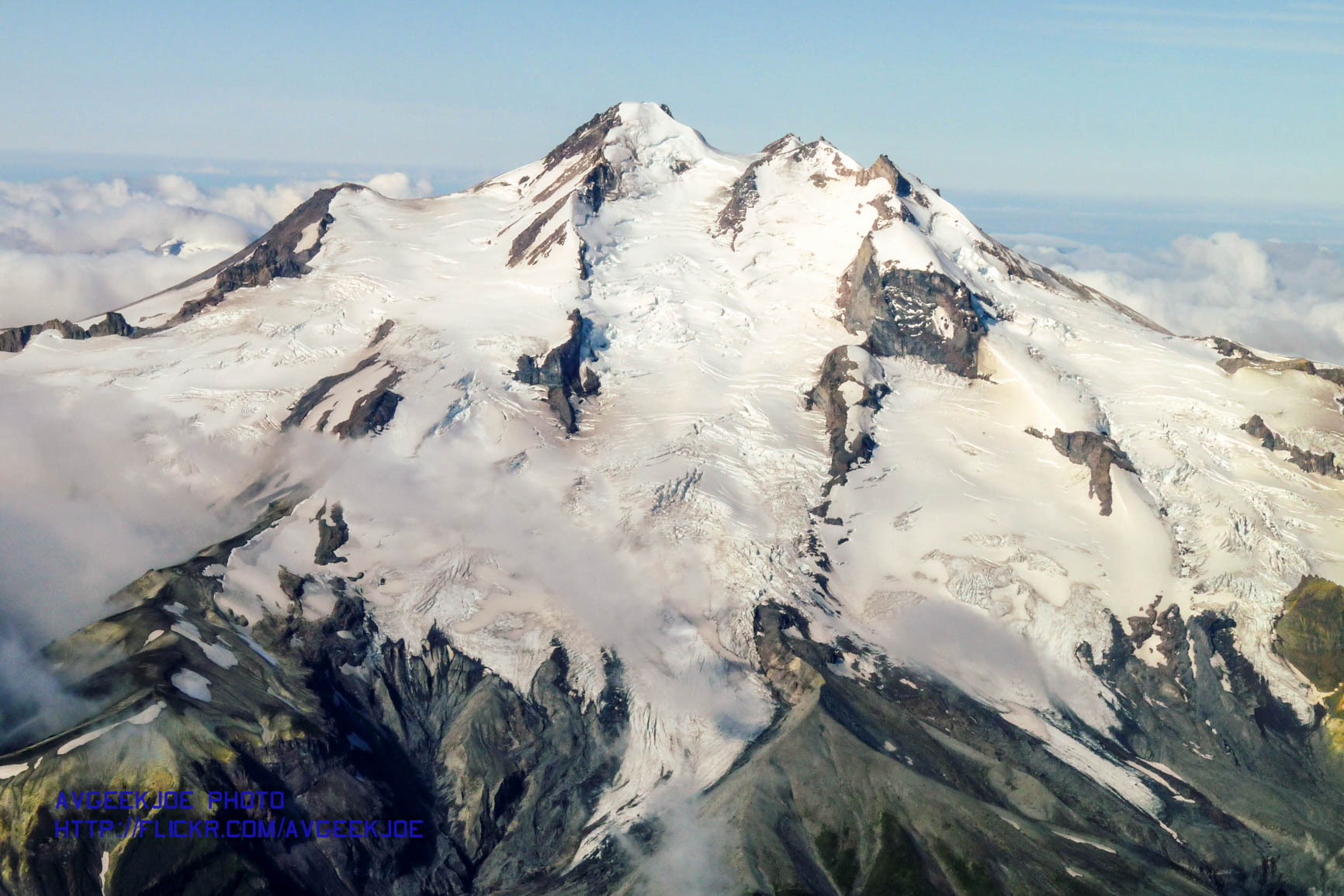
Another Great View of 10,541 foot tall Glacier Peak
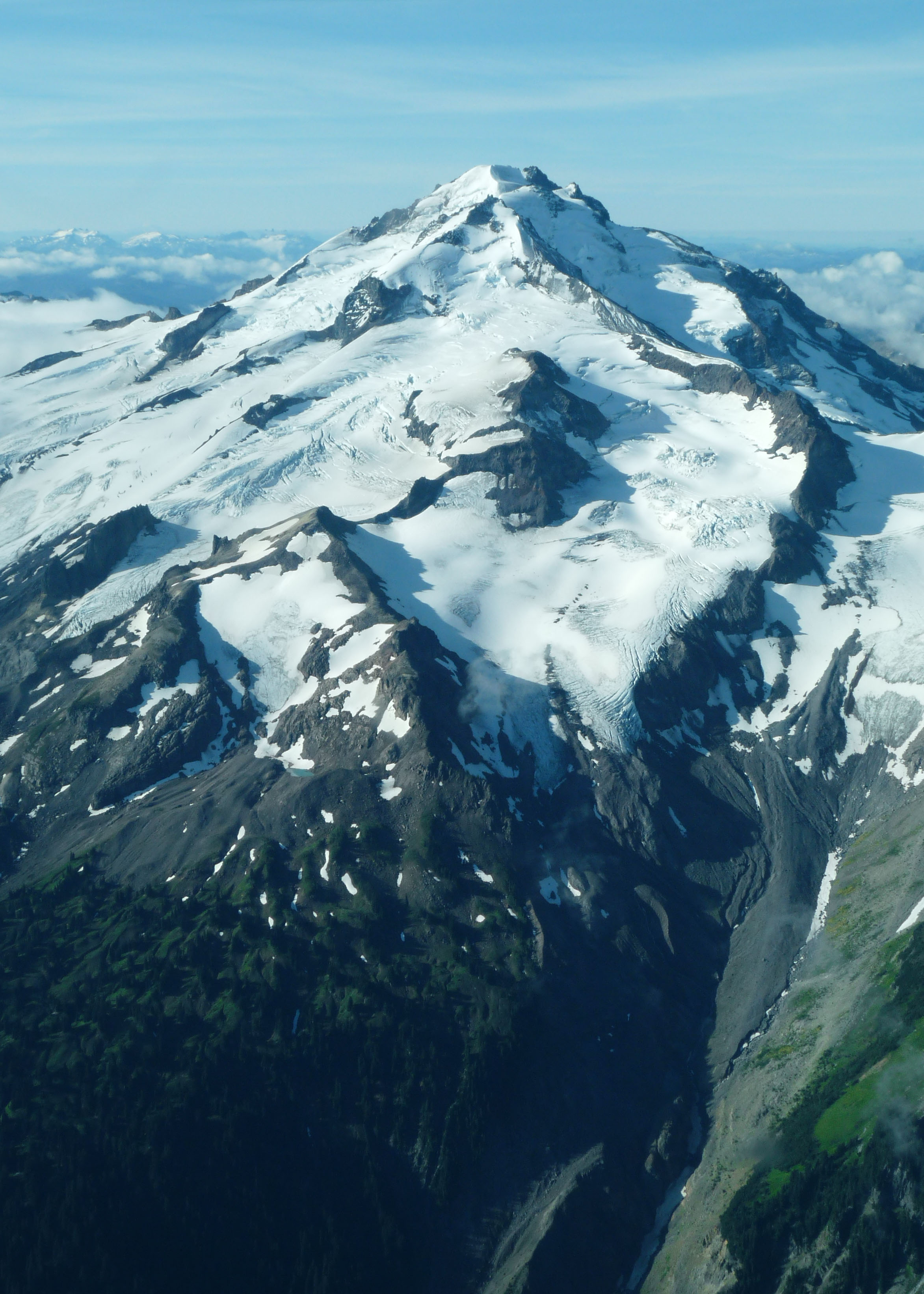
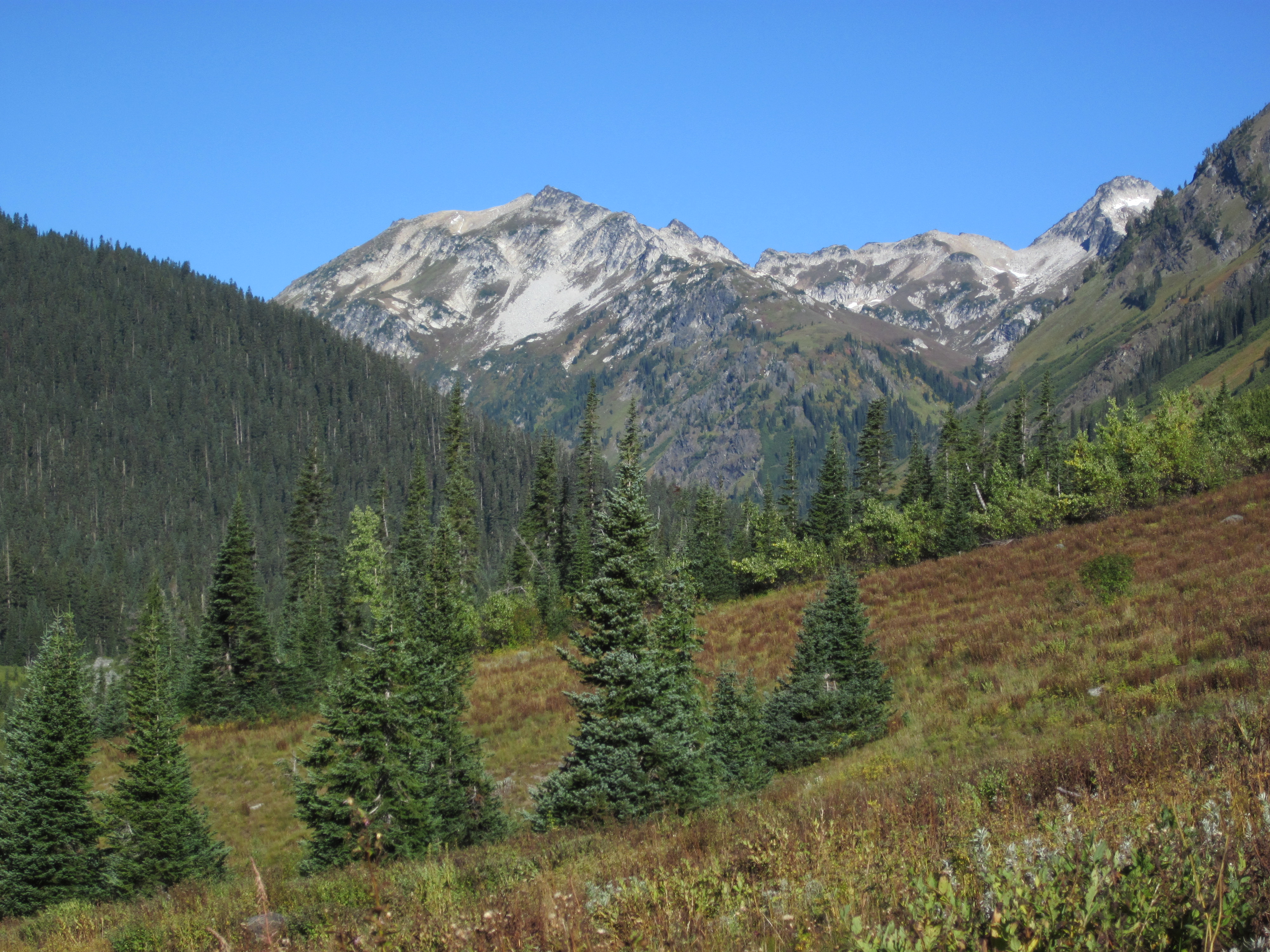
A Color View of Glacier Peak Rising Up
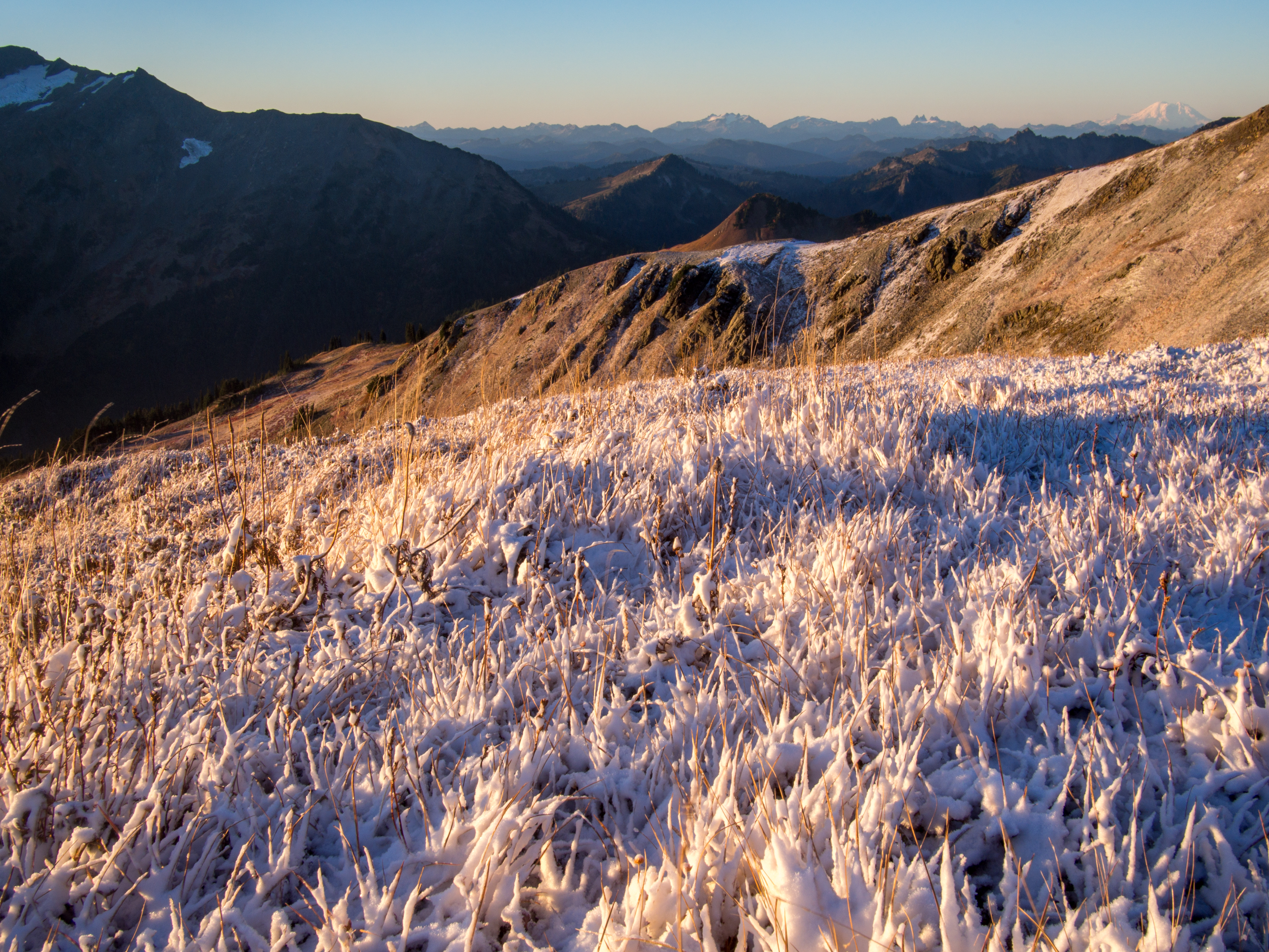
Sun rising over Foam Creek
7pm Bedtime
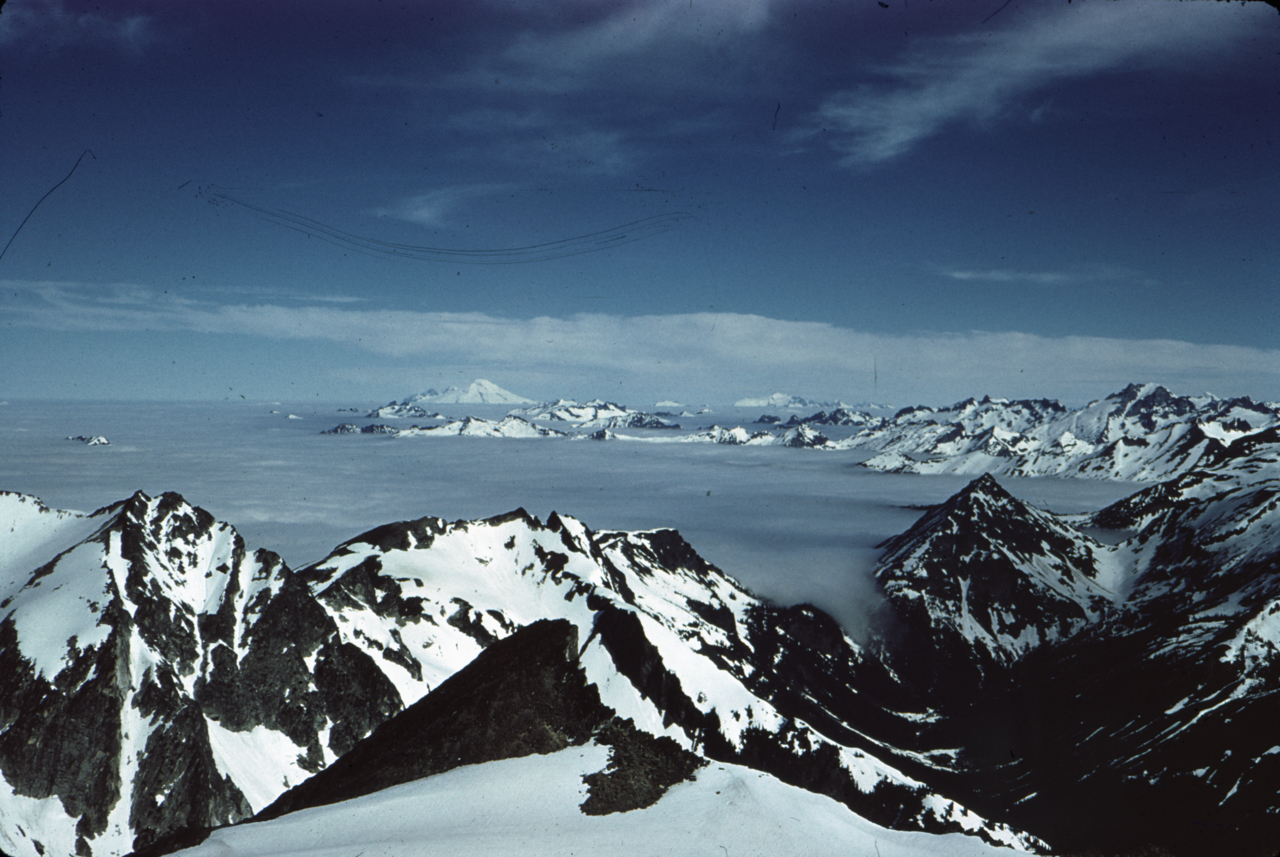
Image-60-134

View back
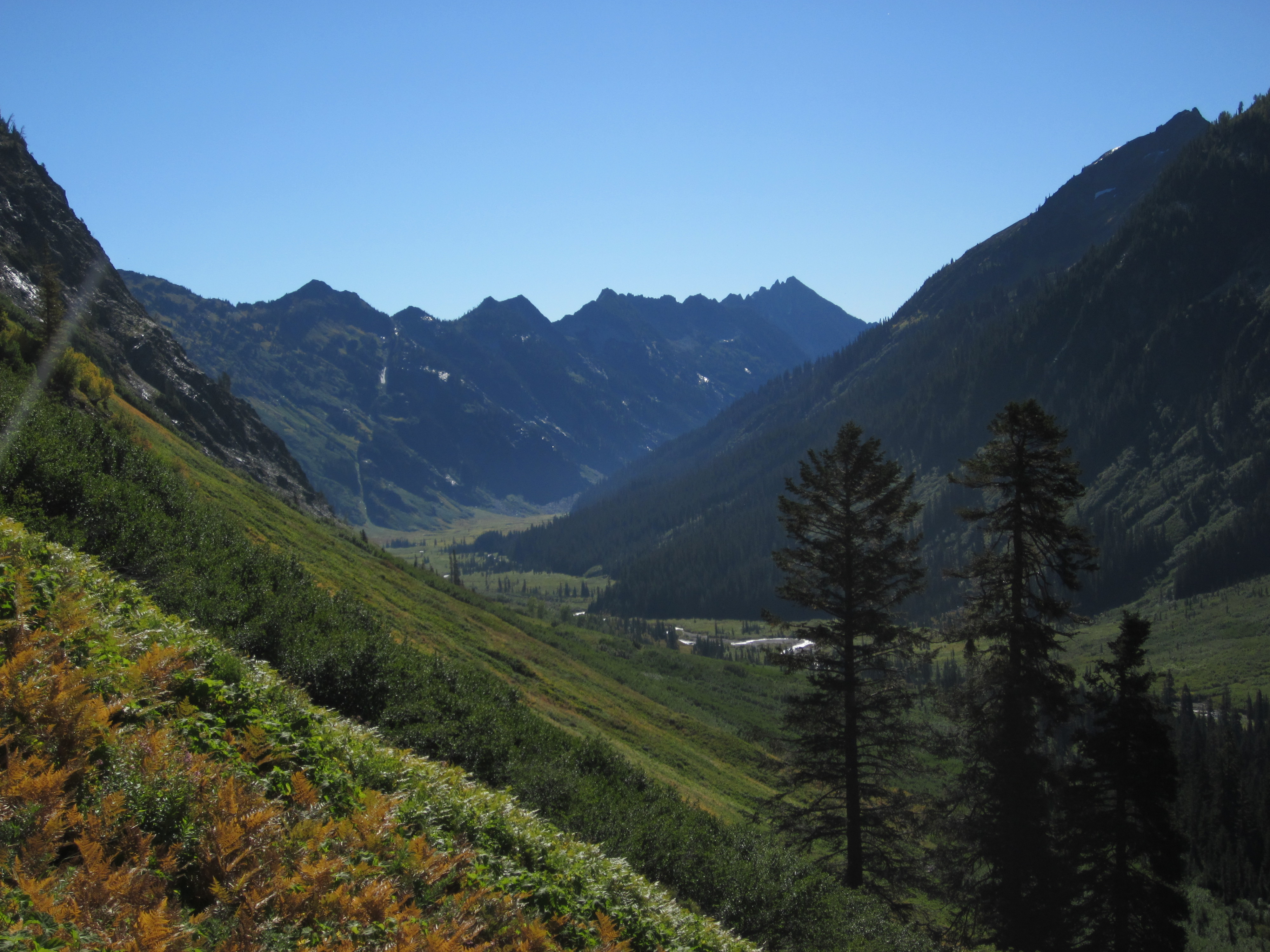
View up-valley
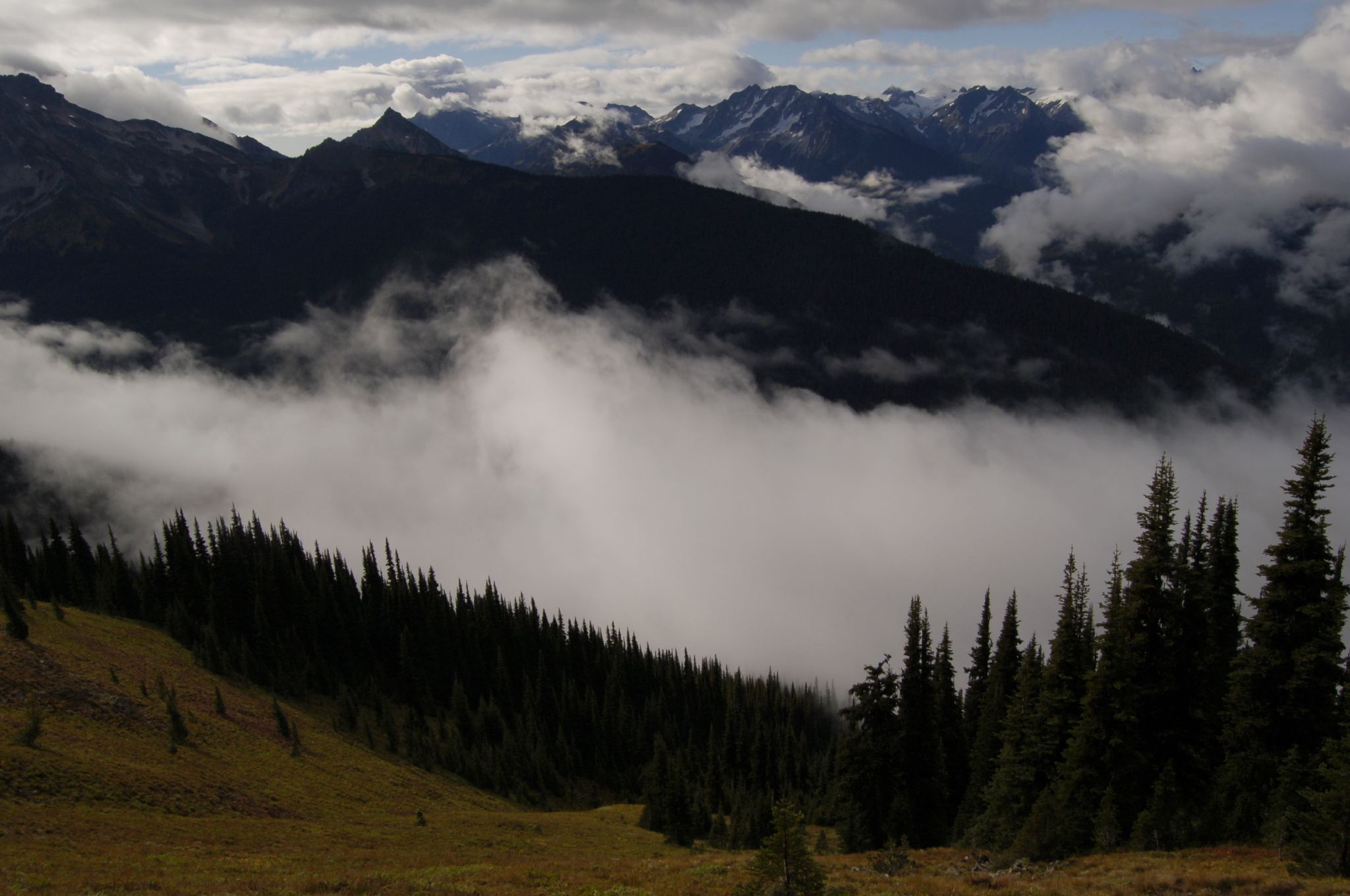
View east from camp
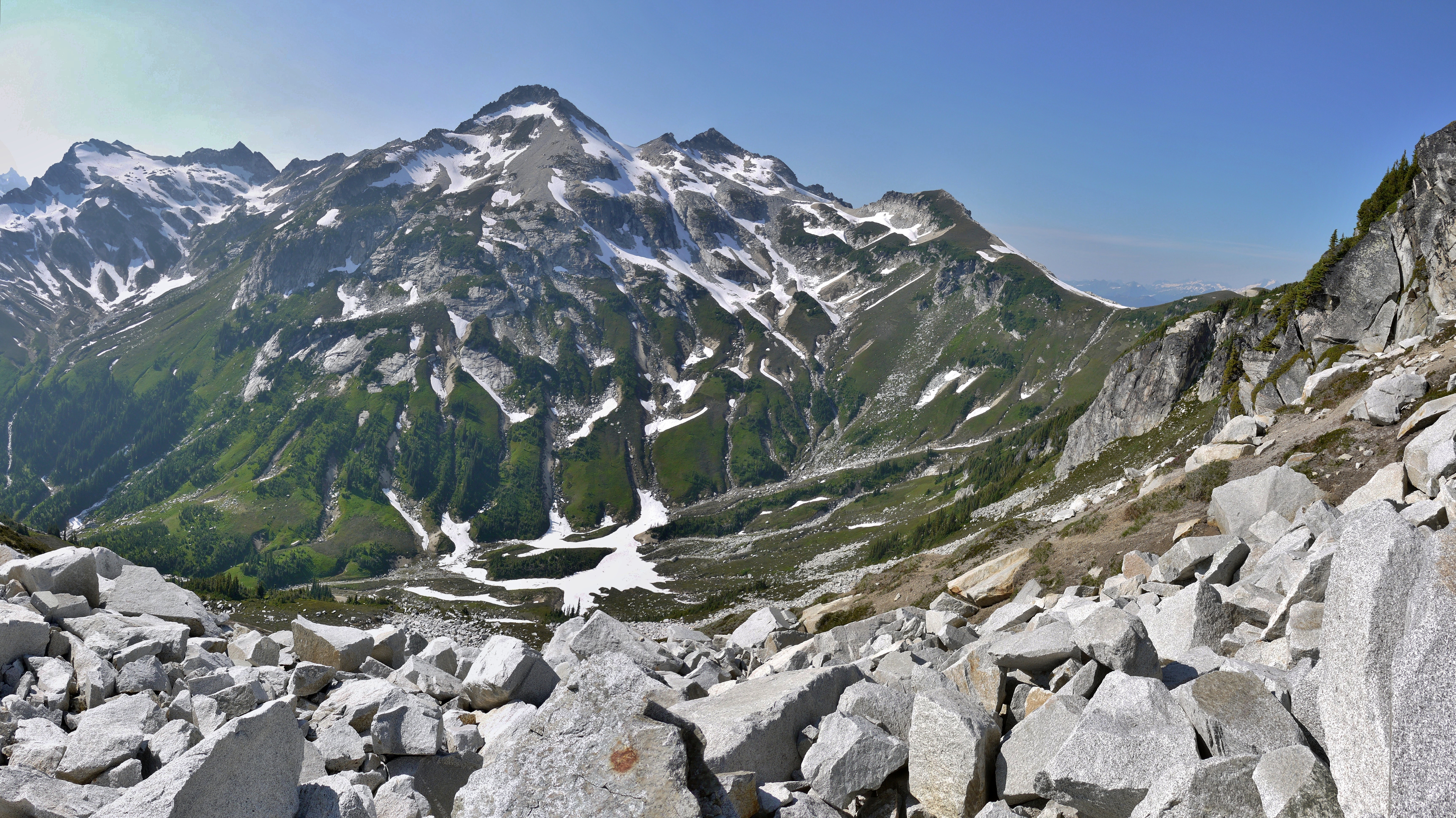
Middle summit and view beyond
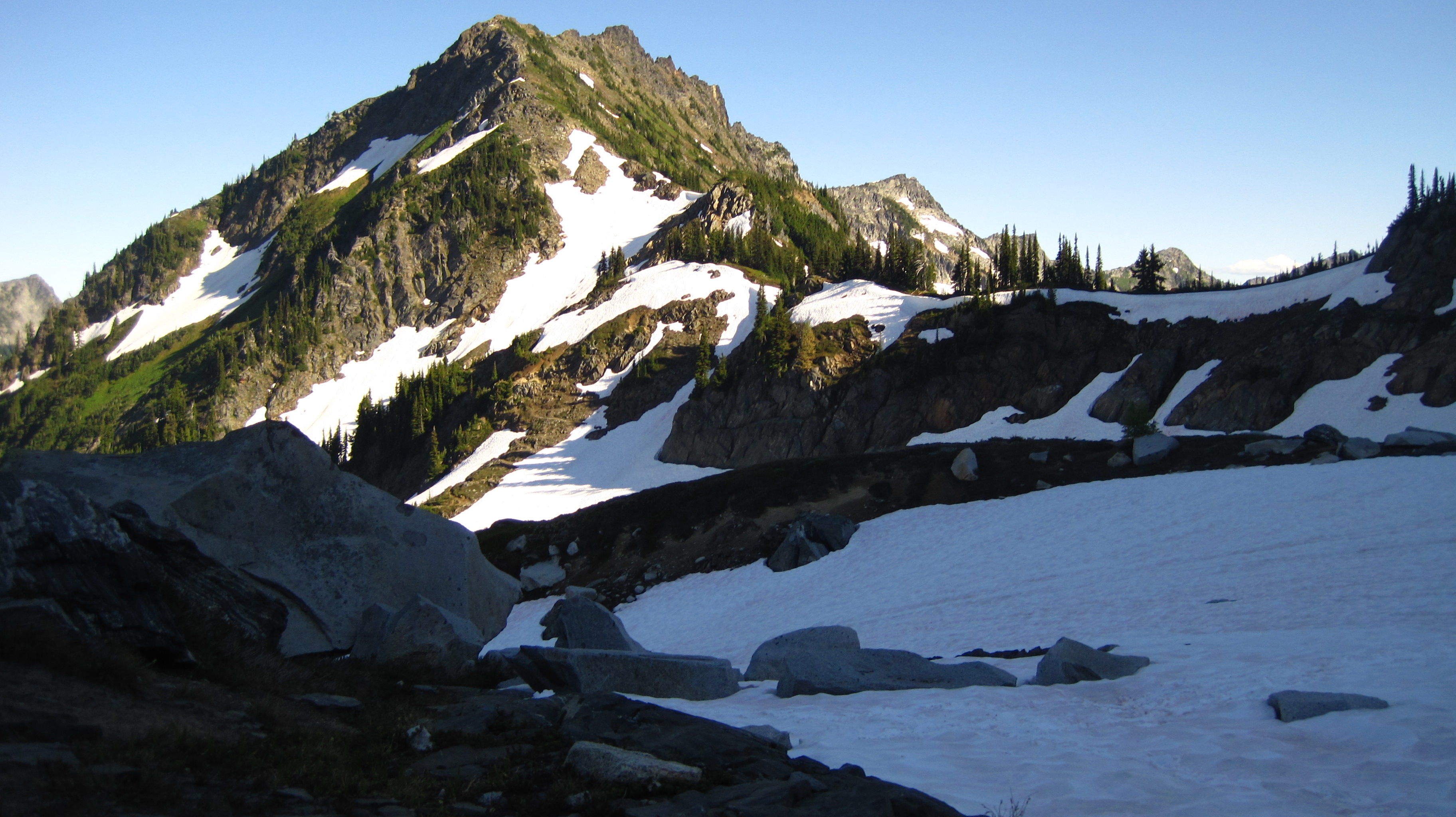
View back towards Lil Giant Pass
View we missed Yesterday
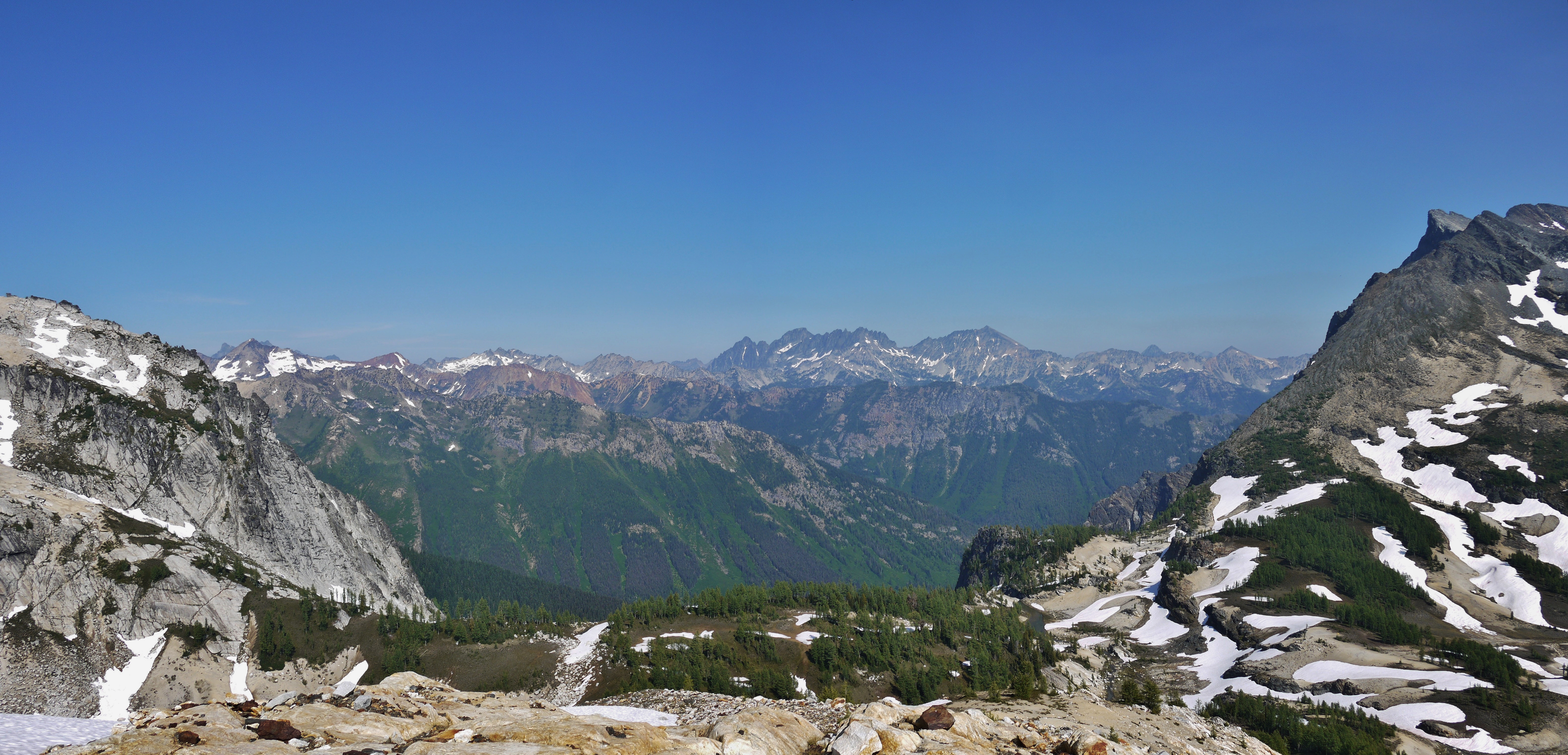
Same fantastic view, varied stitch.
View from below Buck. In the distance Maude, 7 Finger Jack, Fernow, and Copper.
Topographic Map of Glacier Peak, Washington, USA
Find elevation by address:

Places near Glacier Peak, Washington, USA:
Red Mountain
Sloan Peak
Bedal Peak
Fortune Mountain
Kyes Peak
Labyrinth Mountain
Foggy Peak
Wilmans Peaks East
Columbia Peak
Jove Peak
Hurricane Peak
Evergreen Mountain
White Chuck Mountain
Twin Peaks East
Mount Forgotten
Silvertip Peak
Mount Howard
Hubbart Peak
Mix-up Peak
Johannesburg Mountain
Recent Searches:
- Elevation map of Greenland, Greenland
- Elevation of Sullivan Hill, New York, New York, 10002, USA
- Elevation of Morehead Road, Withrow Downs, Charlotte, Mecklenburg County, North Carolina, 28262, USA
- Elevation of 2800, Morehead Road, Withrow Downs, Charlotte, Mecklenburg County, North Carolina, 28262, USA
- Elevation of Yangbi Yi Autonomous County, Yunnan, China
- Elevation of Pingpo, Yangbi Yi Autonomous County, Yunnan, China
- Elevation of Mount Malong, Pingpo, Yangbi Yi Autonomous County, Yunnan, China
- Elevation map of Yongping County, Yunnan, China
- Elevation of North 8th Street, Palatka, Putnam County, Florida, 32177, USA
- Elevation of 107, Big Apple Road, East Palatka, Putnam County, Florida, 32131, USA
- Elevation of Jiezi, Chongzhou City, Sichuan, China
- Elevation of Chongzhou City, Sichuan, China
- Elevation of Huaiyuan, Chongzhou City, Sichuan, China
- Elevation of Qingxia, Chengdu, Sichuan, China
- Elevation of Corso Fratelli Cairoli, 35, Macerata MC, Italy
- Elevation of Tallevast Rd, Sarasota, FL, USA
- Elevation of 4th St E, Sonoma, CA, USA
- Elevation of Black Hollow Rd, Pennsdale, PA, USA
- Elevation of Oakland Ave, Williamsport, PA, USA
- Elevation of Pedrógão Grande, Portugal