Elevation of La Grange Township, AR, USA
Location: United States > Arkansas > Lafayette County >
Longitude: -93.601520
Latitude: 33.4086933
Elevation: 94m / 308feet
Barometric Pressure: 100KPa
Elevation Map:
Satellite Map:
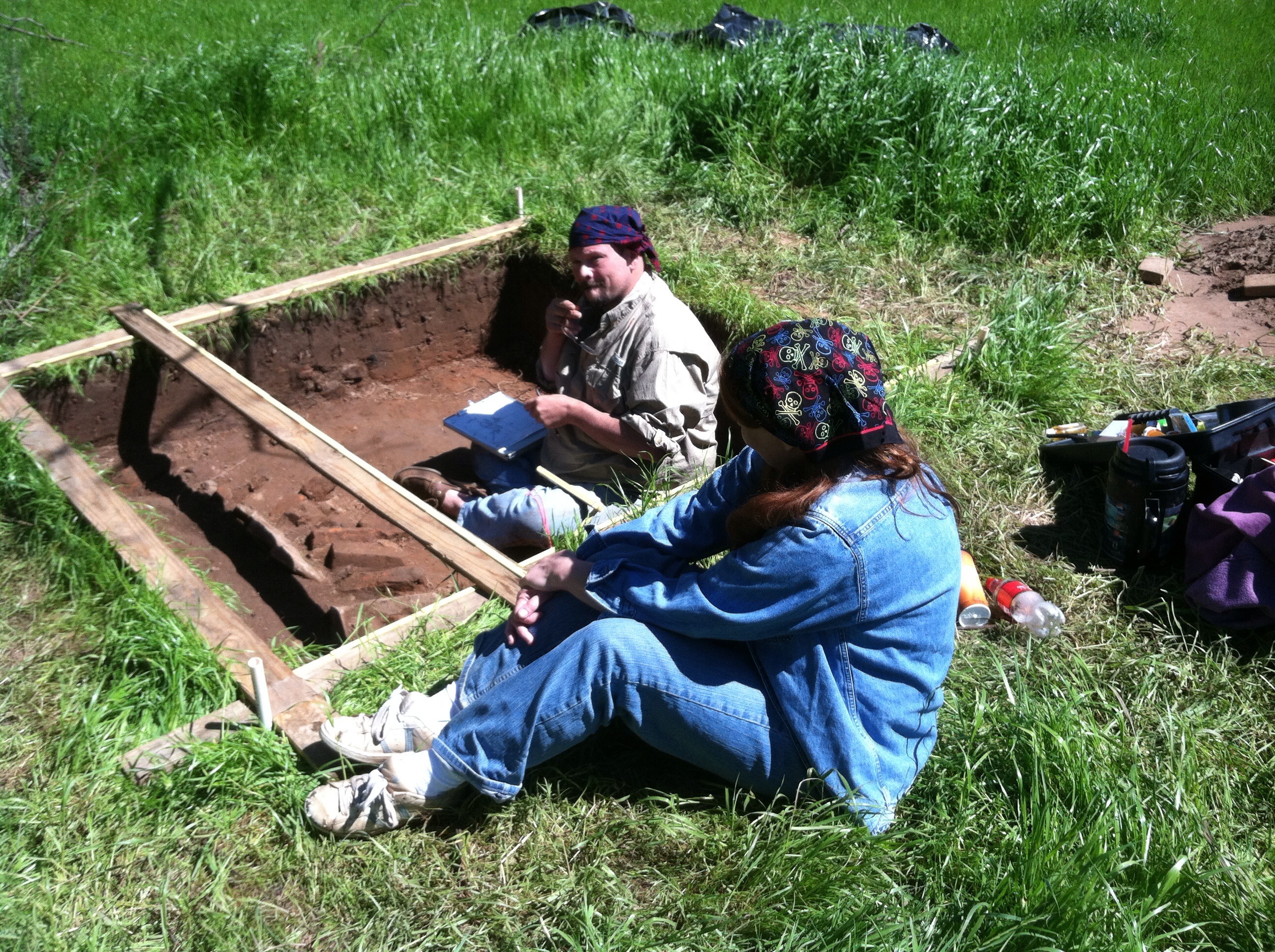
Related Photos:
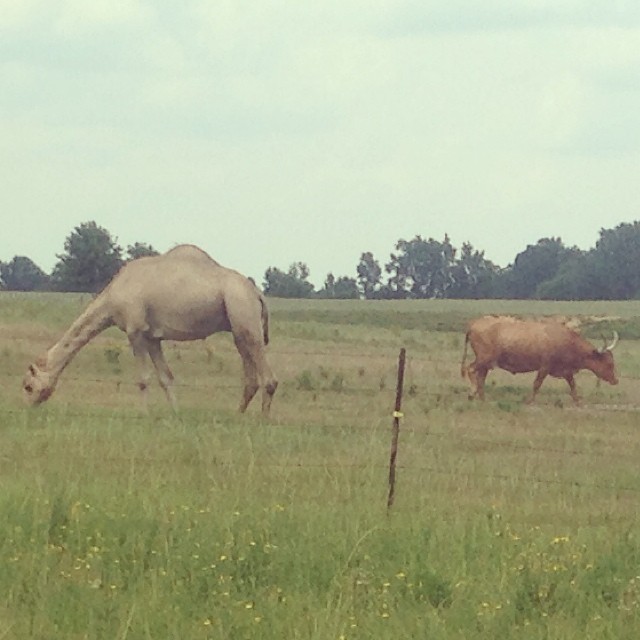
A camel and a longhorn, in Stamps, Arkansas.
Dooley's Ferry Crossing

Smokin'
From Inside (1)

That train keeps a rollin'...
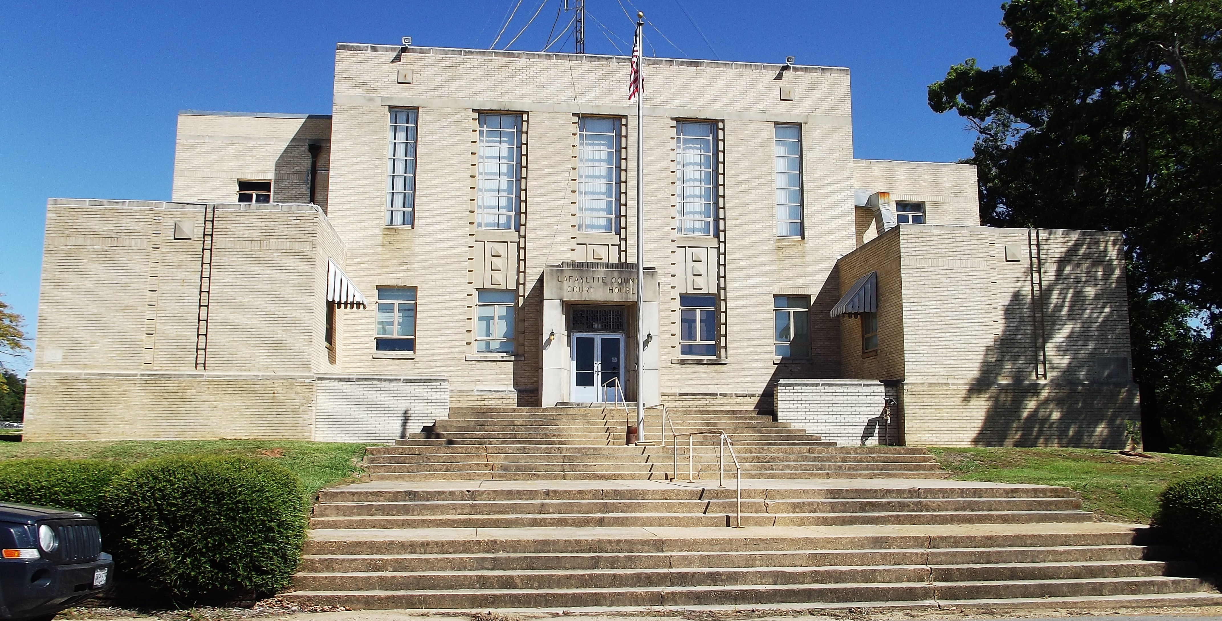
Lewisville AR - Lafayette Co. Courthouse
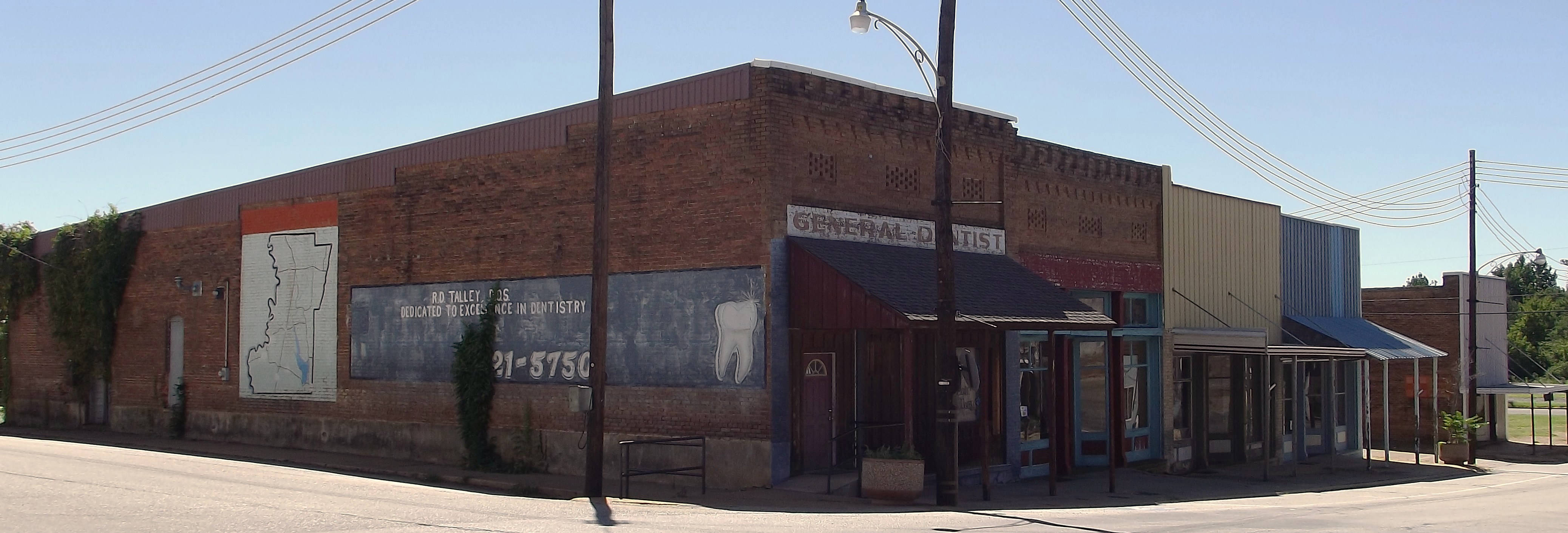
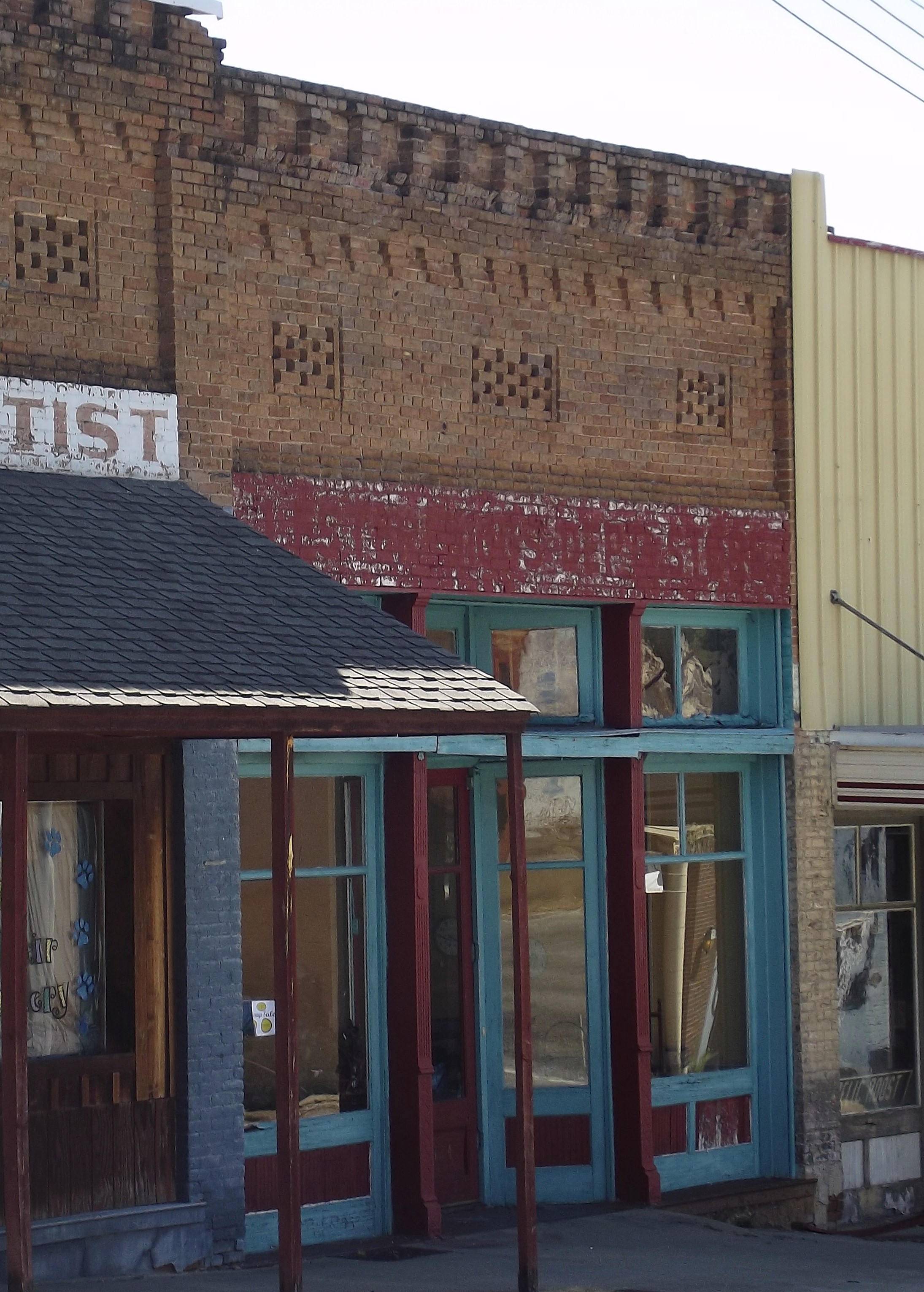
Lewisville AR - Bldgs
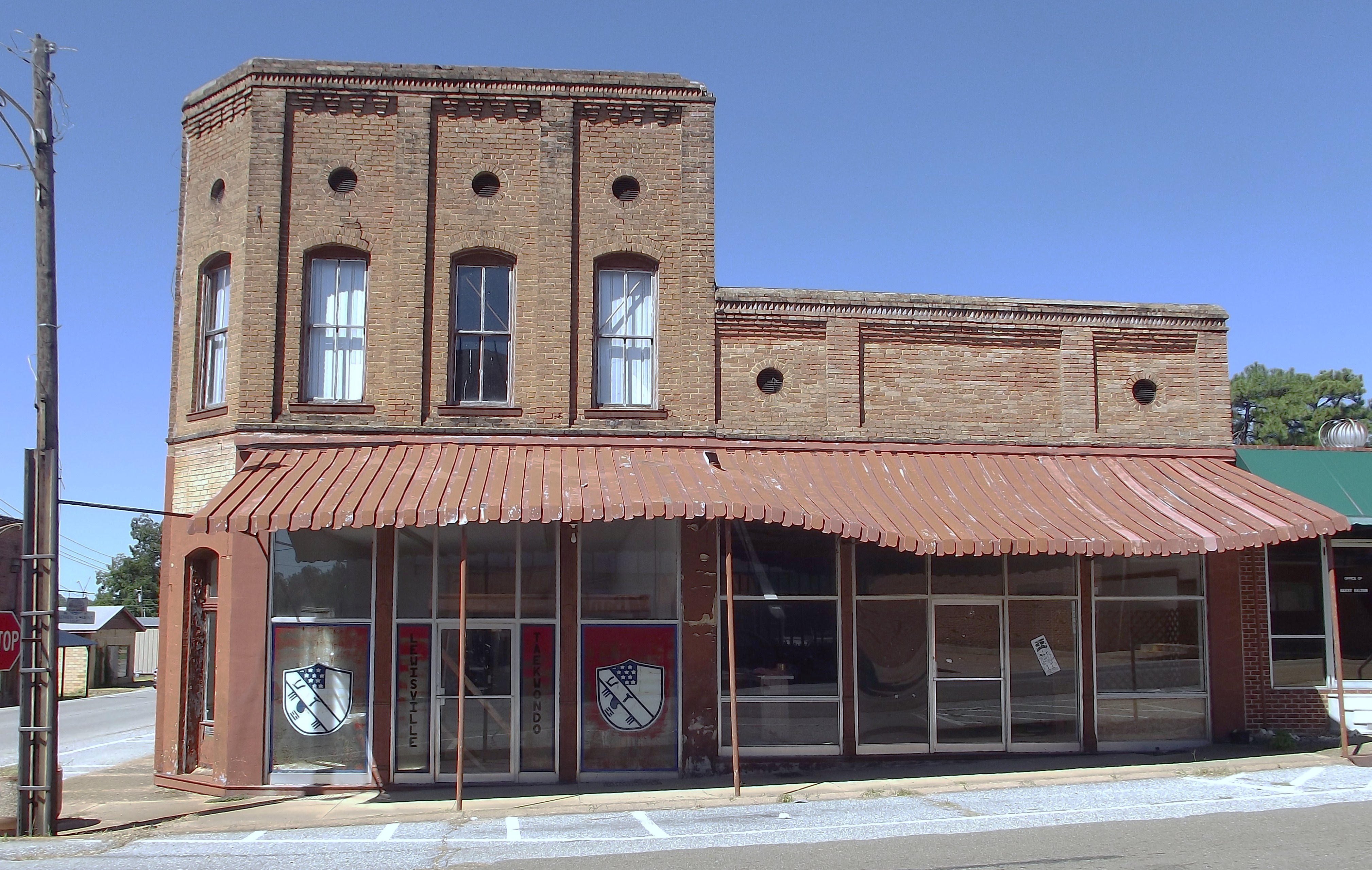
Lewisville AR - Bldg
Lewisville AR - Bldg 1 interior
Lewsville AR - Bldg 2
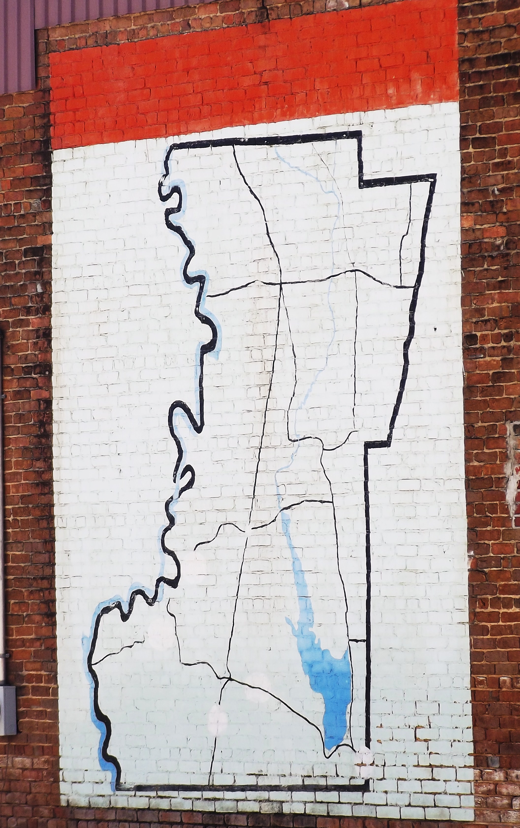
Lewisville AR - sign
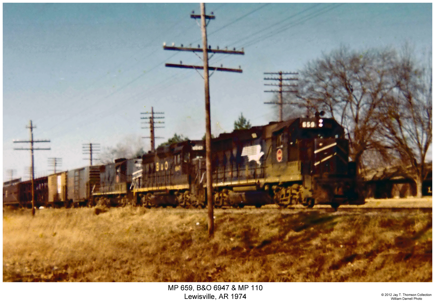
MP 659, B&O 6947 & MP 110
Topographic Map of La Grange Township, AR, USA
Find elevation by address:

Places in La Grange Township, AR, USA:
Places near La Grange Township, AR, USA:
Spruce St, Lewisville, AR, USA
Lewisville
1116 Gravel St
Mars Hill Township
US-82, Stamps, AR, USA
Lafayette County
Hadley Township
W Myrtle St, Buckner, AR, USA
Buckner
57 AR-, Hope, AR, USA
County Rd 36, Stamps, AR, USA
AR-53, Buckner, AR, USA
Alabama Township
AR-, Lewisville, AR, USA
Columbia Rd 54, Waldo, AR, USA
Walker Creek Township
Co Rd 18, Fouke, AR, USA
Bodcaw
Parker Township
US-67, Hope, AR, USA
Recent Searches:
- Elevation of Pu Ngaol Community Meeting Hall, HWHM+3X7, Krong Saen Monourom, Cambodia
- Elevation of Royal Ontario Museum, Queens Park, Toronto, ON M5S 2C6, Canada
- Elevation of Groblershoop, South Africa
- Elevation of Power Generation Enterprises | Industrial Diesel Generators, Oak Ave, Canyon Country, CA, USA
- Elevation of Chesaw Rd, Oroville, WA, USA
- Elevation of N, Mt Pleasant, UT, USA
- Elevation of 6 Rue Jules Ferry, Beausoleil, France
- Elevation of Sattva Horizon, 4JC6+G9P, Vinayak Nagar, Kattigenahalli, Bengaluru, Karnataka, India
- Elevation of Great Brook Sports, Gold Star Hwy, Groton, CT, USA
- Elevation of 10 Mountain Laurels Dr, Nashua, NH, USA