Elevation of US-67, Hope, AR, USA
Location: United States > Arkansas > Hempstead County > Water Creek Township >
Longitude: -93.696190
Latitude: 33.6360883
Elevation: 86m / 282feet
Barometric Pressure: 100KPa
Elevation Map:
Satellite Map:
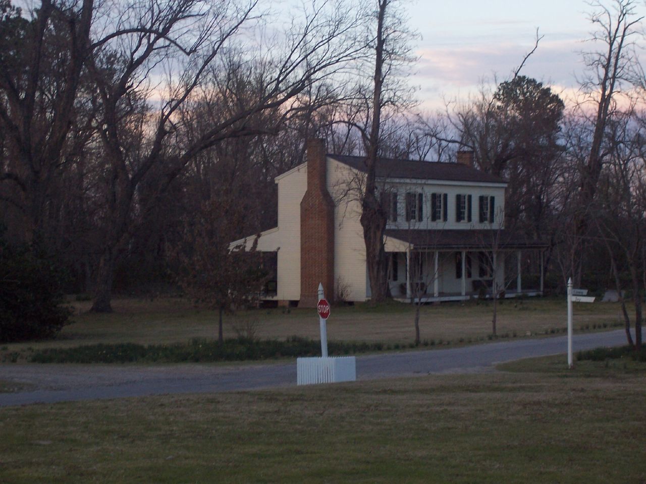
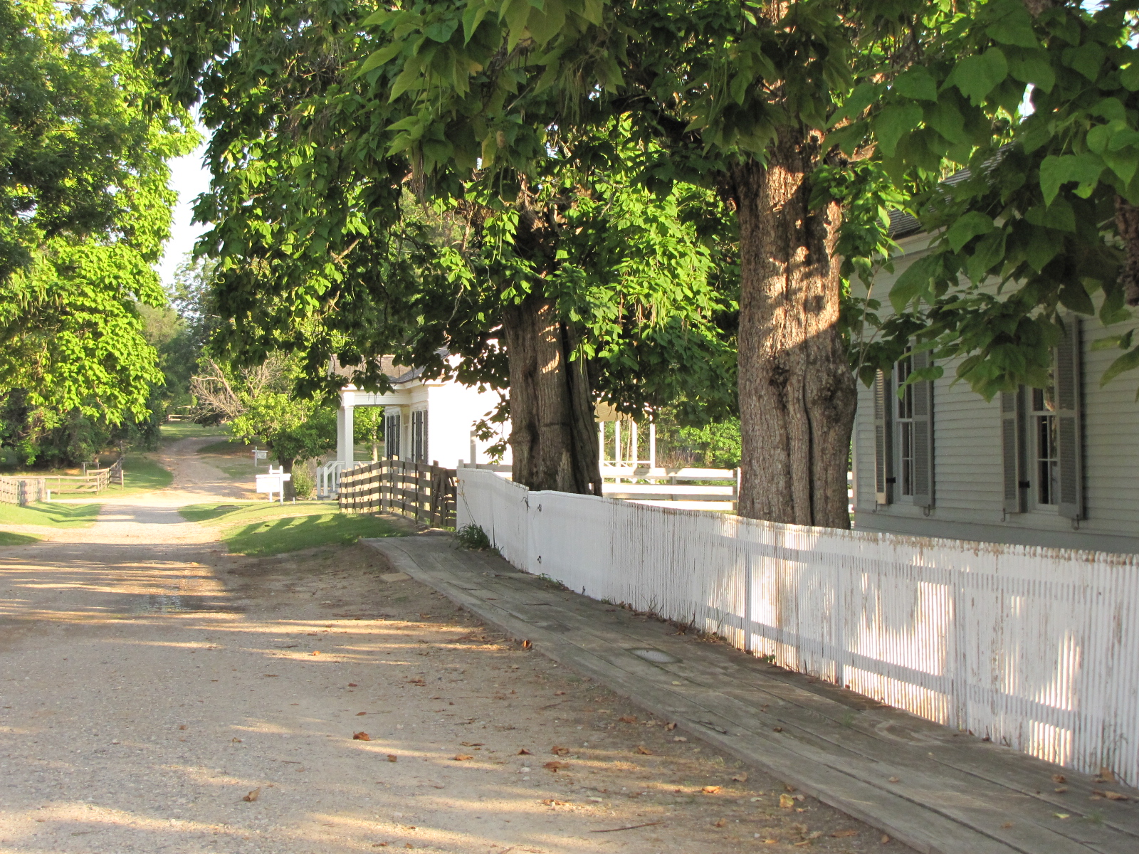
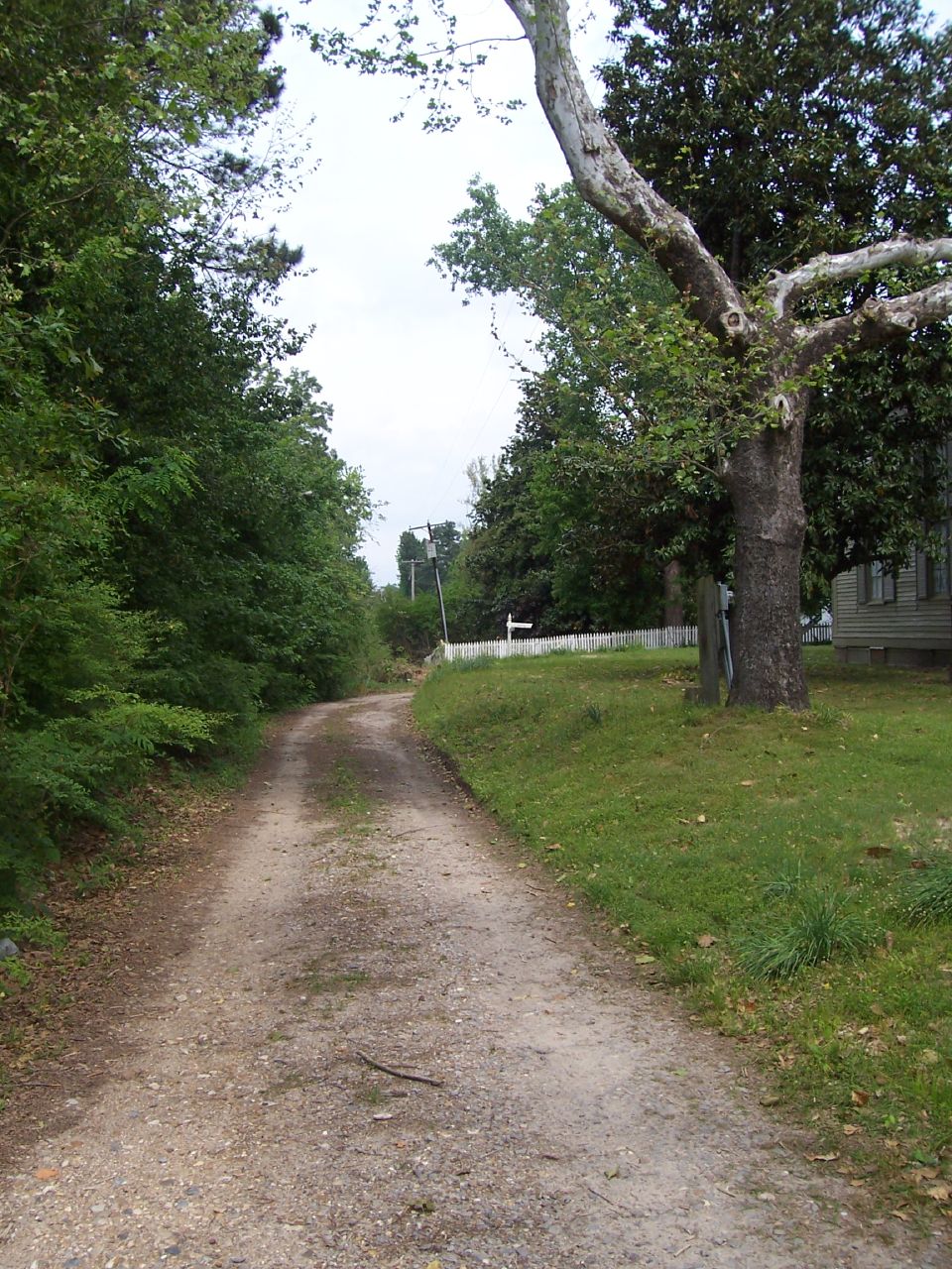
Related Photos:
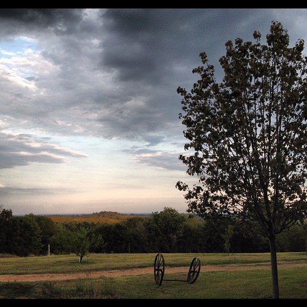
Pretty #view from the #house last #night.
WHSP views (1)
WHSP views (21)
WHSP views (18)
WHSP views (47)

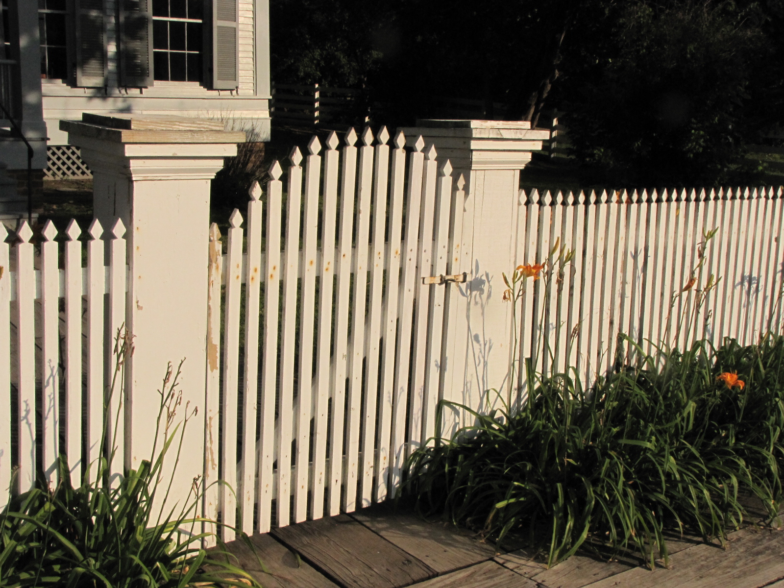
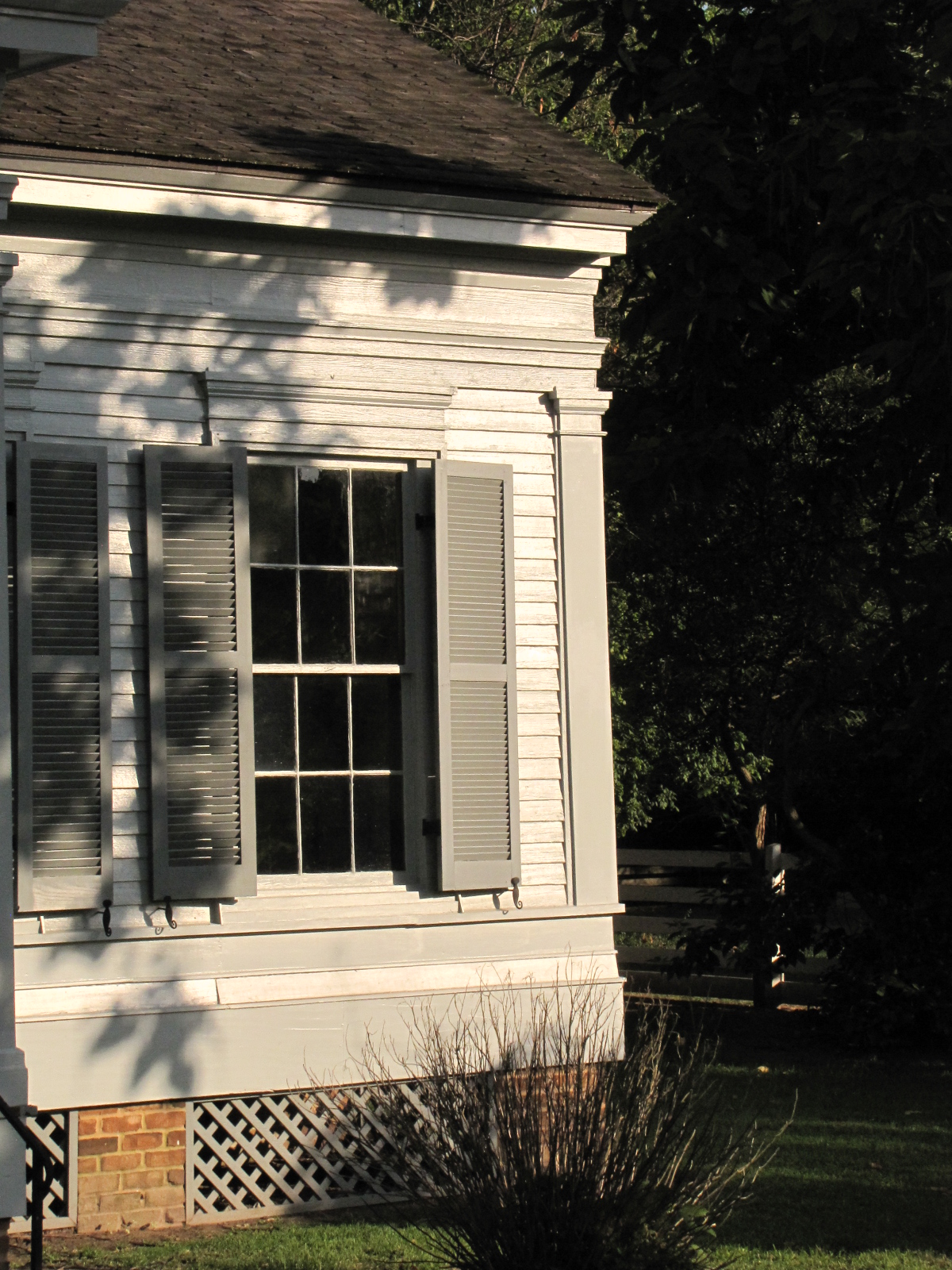
Washington - Stuart House (1842)
WHSP views (17)

Washington - Stuart House (1842)

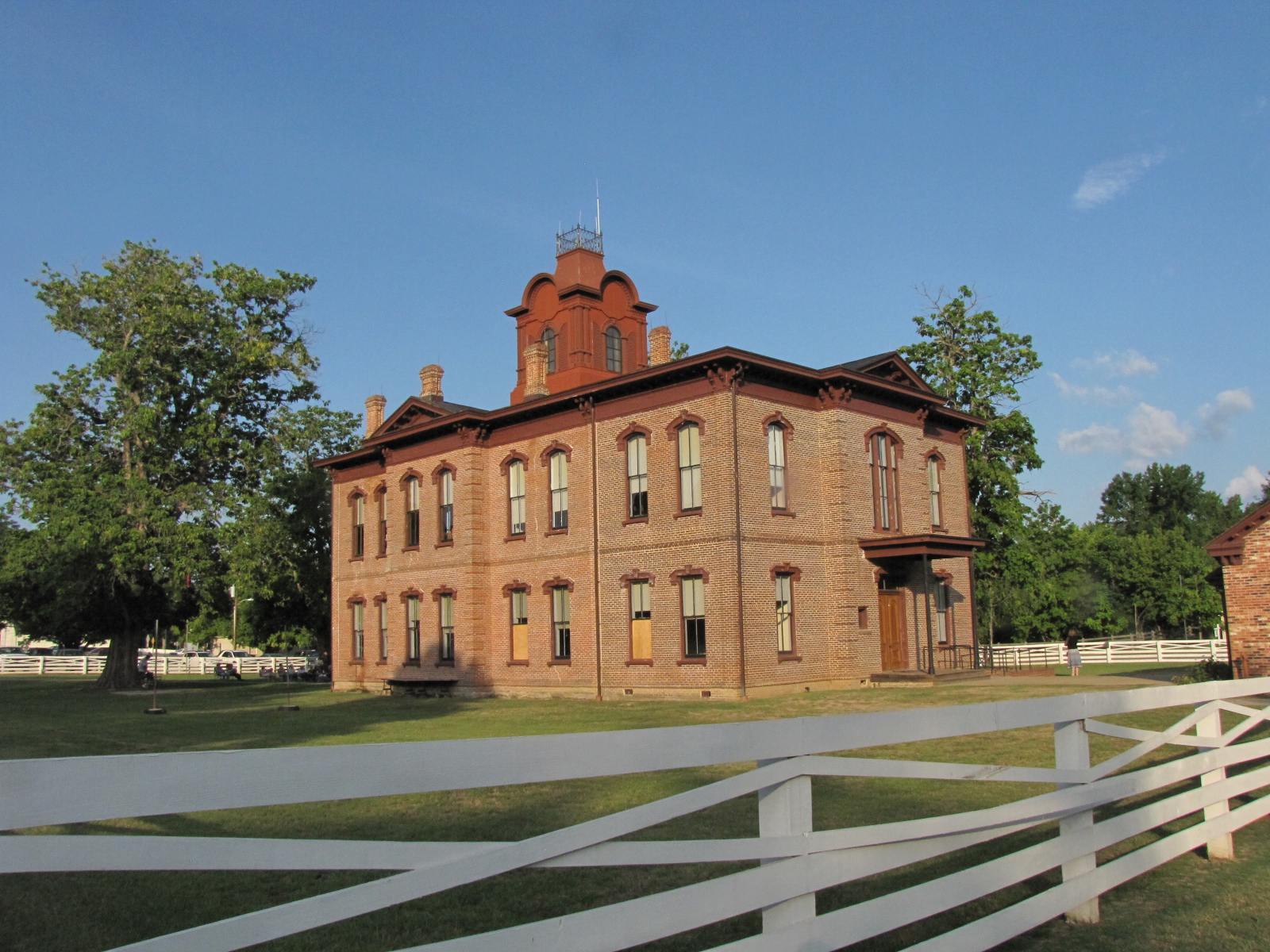
Old Hempstead County Courthouse (Washington, Arkansas)

Washington - Historical Buildings (1895)
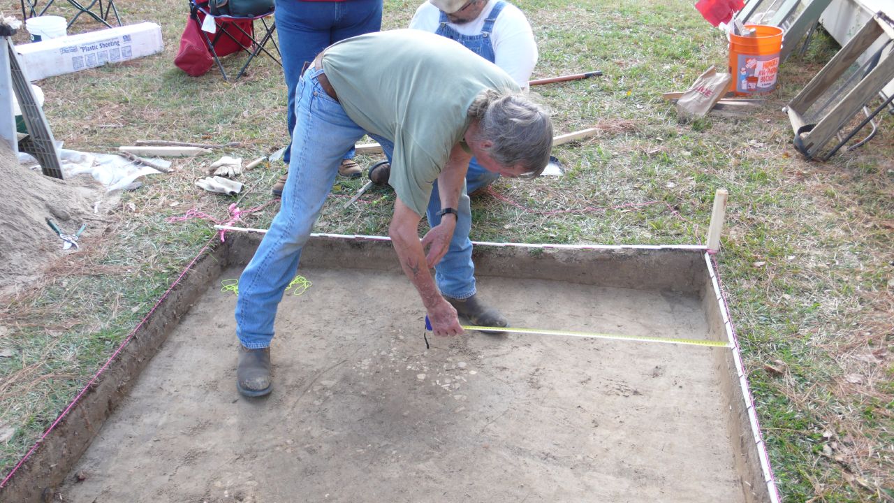
Royston House Excavations
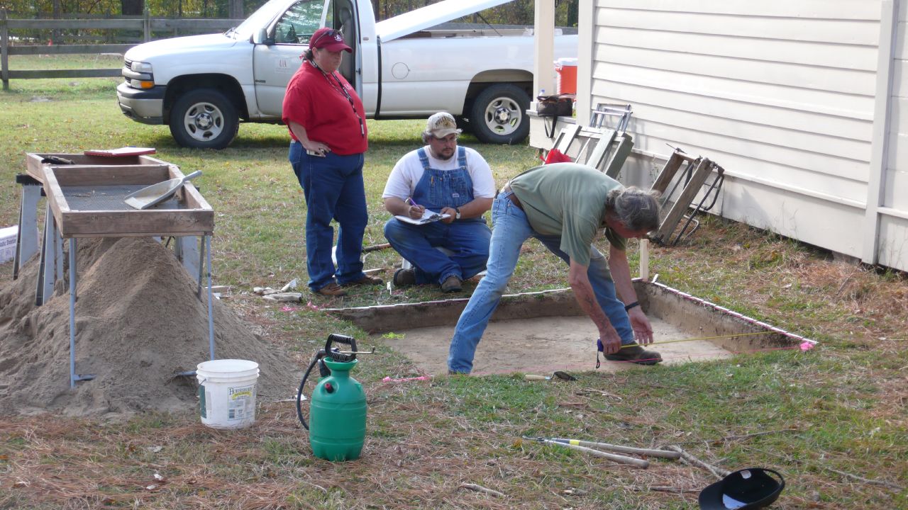
Royston House Excavations

Washington - Antiques Shop
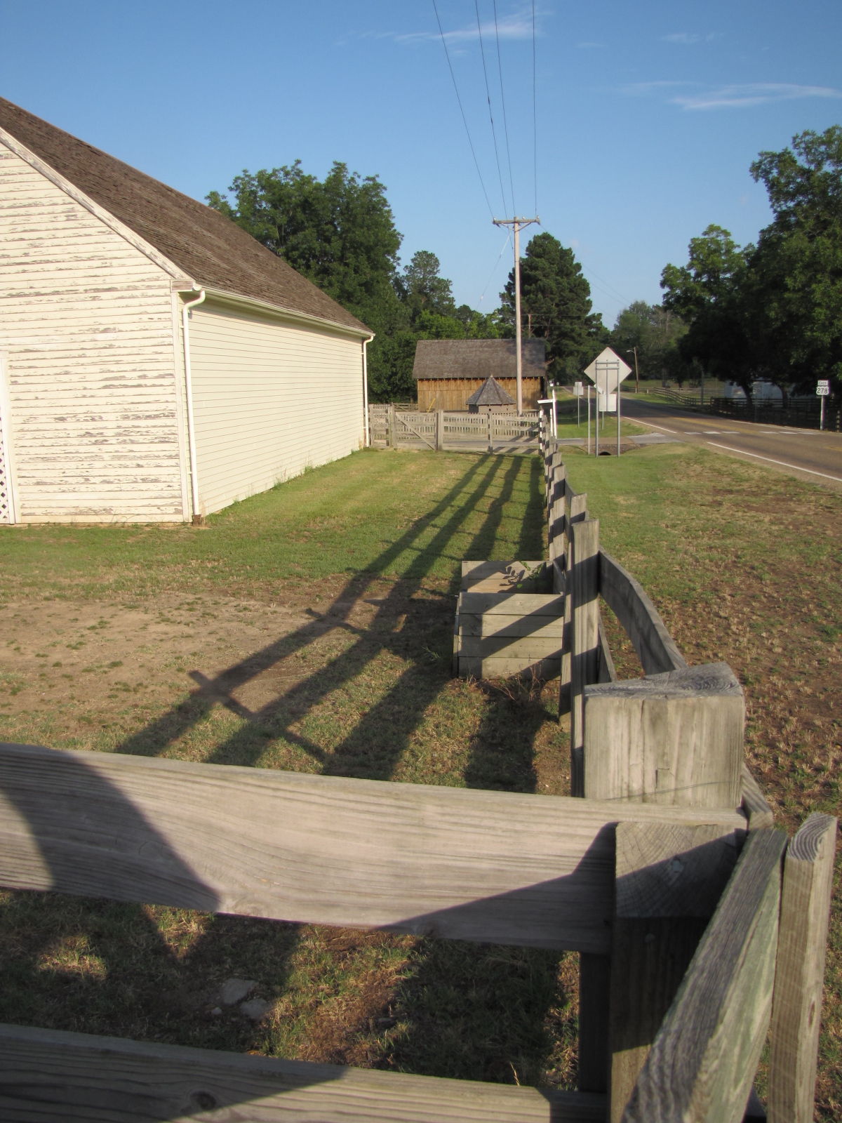
Historic Washington State Park

Washington - Black History Museum (1895)
WHSP views (14)

Washington Methodist Church Excavations

Washington - Hempstead County Courthouse (1874)

Washington - Crooked Tree Bark
Washington Methodist Church Excavations
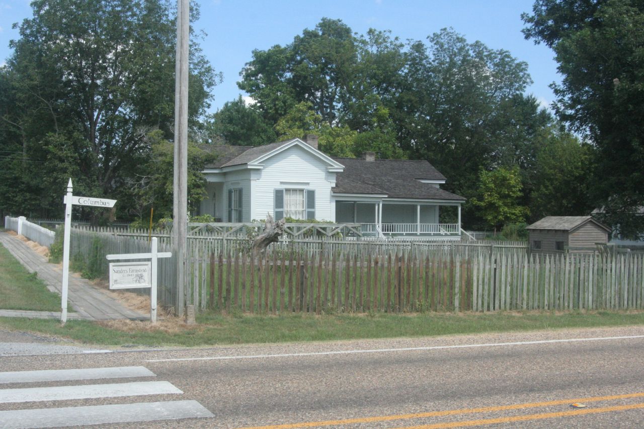
Sanders House
Dooley's Ferry Crossing

2.05km from Dolph (historical), Arkansas
Topographic Map of US-67, Hope, AR, USA
Find elevation by address:

Places near US-67, Hope, AR, USA:
Water Creek Township
Gurnsey Road
Hempstead County
57 AR-, Hope, AR, USA
144-142
Hope
S Main St, Hope, AR, USA
Brentwood Industries Inc
Bois D'arc Township
Mount-Prairie, Fulton, AR, USA
Fulton
De Roan Township
US-67, Hope, AR, USA
Swan Lake Dr, Hope, AR, USA
Little River 72, Ashdown, AR, USA
State Hwy, Texarkana, AR, USA
S Walnut St, Emmet, AR, USA
La Grange Township
Spruce St, Lewisville, AR, USA
Little River 33, Ashdown, AR, USA
Recent Searches:
- Elevation of Vista Blvd, Sparks, NV, USA
- Elevation of 15th Ave SE, St. Petersburg, FL, USA
- Elevation of Beall Road, Beall Rd, Florida, USA
- Elevation of Leguwa, Nepal
- Elevation of County Rd, Enterprise, AL, USA
- Elevation of Kolchuginsky District, Vladimir Oblast, Russia
- Elevation of Shustino, Vladimir Oblast, Russia
- Elevation of Lampiasi St, Sarasota, FL, USA
- Elevation of Elwyn Dr, Roanoke Rapids, NC, USA
- Elevation of Congressional Dr, Stevensville, MD, USA