Elevation of KY-, Nancy, KY, USA
Location: United States > Kentucky > Pulaski County >
Longitude: -84.750438
Latitude: 37.112214
Elevation: 239m / 784feet
Barometric Pressure: 98KPa
Elevation Map:
Satellite Map:
Related Photos:

Beautiful View of Lake Cumberland
Rule of Thirds

Exterior view
Mill Springs Battlefield: battle by night
SOU 3237, 3286 & 3191
Mill Springs Battlefield and National Cemetery
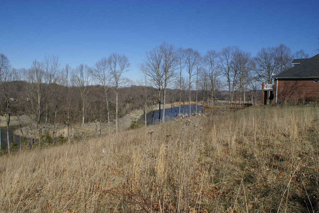
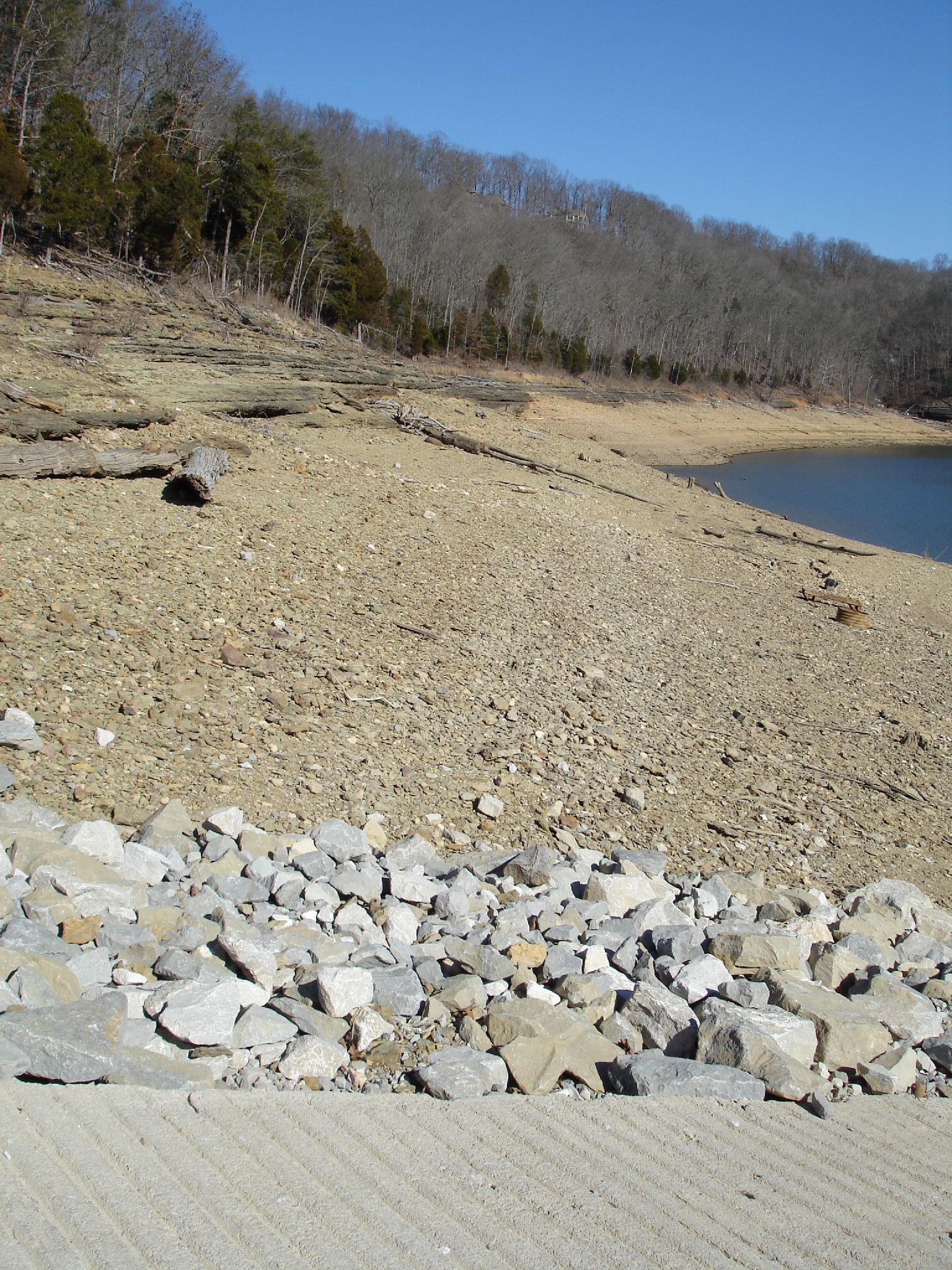
Lake Cumberland
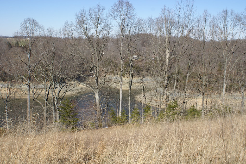
Lake Cumberland
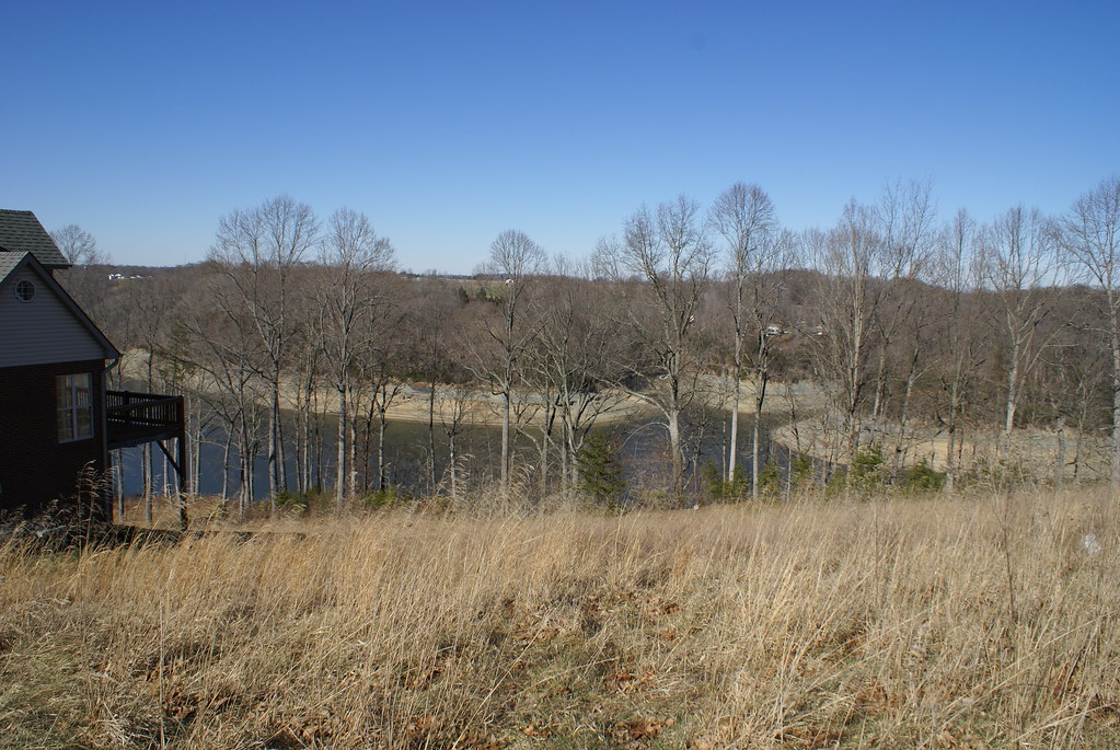
Lake Cumberland

Confederate "Cemetery"
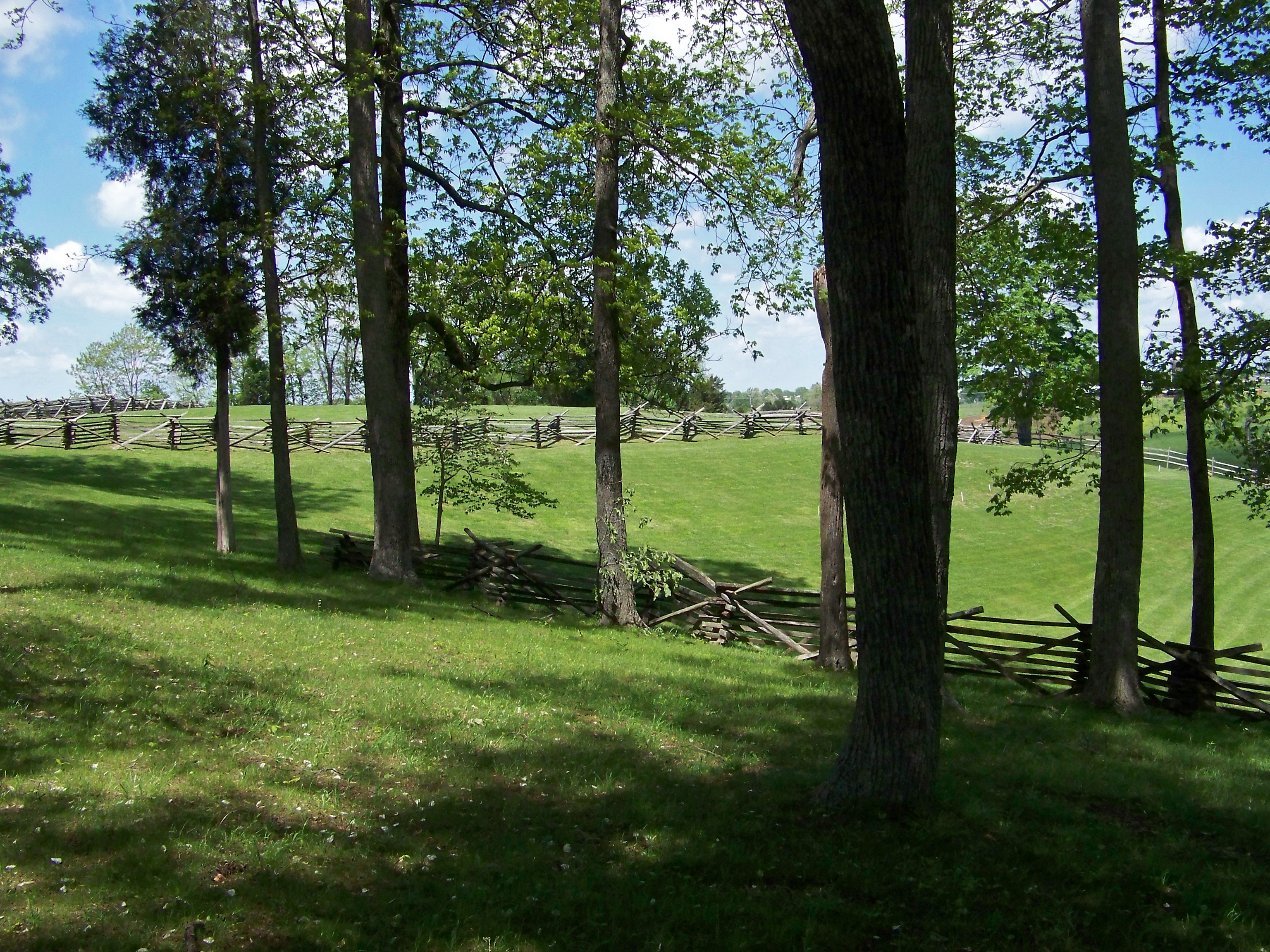
Battle of Mill Springs

Pot of gold?
Fishing Creek/Slate Branch Ramp 2-10-07
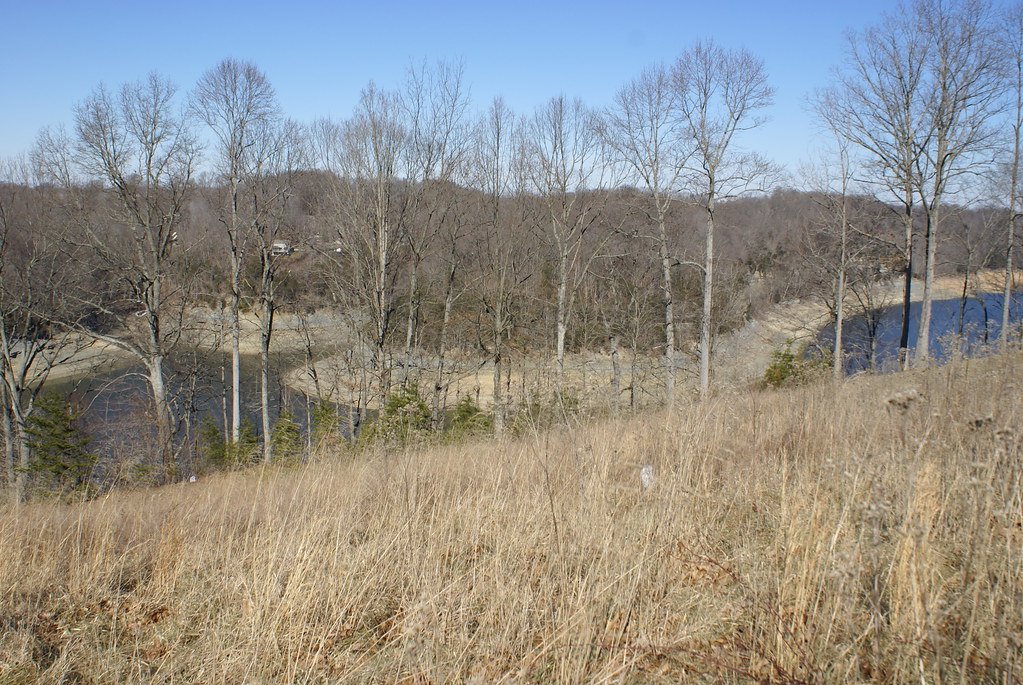
Lake Cumberland
Topographic Map of KY-, Nancy, KY, USA
Find elevation by address:

Places near KY-, Nancy, KY, USA:
Nancy
KY-, Science Hill, KY, USA
145 Lake Walk Dr
163 Lake Walk Dr
165 Lake Walk Dr
166 Lake Walk Dr
44 Morning Crossing Dr
168 Lake Forest Dr
Oak Hill Rd, Liberty, KY, USA
359 Raleigh Rd
Science Hill
Science Hill
Tuscany Drive
Langdon St, Somerset, KY, USA
135 Realty Ln
135 Realty Ln
University Drive
300 Somerset Refinery Rd
Huffaker Avenue
125 Slate Branch Rd
Recent Searches:
- Elevation of Estates Loop, Priest River, ID, USA
- Elevation of Woodland Oak Pl, Thousand Oaks, CA, USA
- Elevation of Brownsdale Rd, Renfrew, PA, USA
- Elevation of Corcoran Ln, Suffolk, VA, USA
- Elevation of Mamala II, Sariaya, Quezon, Philippines
- Elevation of Sarangdanda, Nepal
- Elevation of 7 Waterfall Way, Tomball, TX, USA
- Elevation of SW 57th Ave, Portland, OR, USA
- Elevation of Crocker Dr, Vacaville, CA, USA
- Elevation of Pu Ngaol Community Meeting Hall, HWHM+3X7, Krong Saen Monourom, Cambodia