Elevation of KY-, Melvin, KY, USA
Location: United States > Kentucky > Floyd County >
Longitude: -82.695253
Latitude: 37.351404
Elevation: 304m / 997feet
Barometric Pressure: 98KPa
Elevation Map:
Satellite Map:
Related Photos:
US 23/US 460 Future Interchange

Kentucky 2009 - 40
kentucky.

US 23/US 460 Future Interchange

2012-07-01 11.40.31

Mill Creek Community Meeting

Got to see my only living grandparent, Mamaw Brenda this afternoon ????. Keep her in your prayers. ???? #blessed #family

Diamond Reo Vergy, KY 4-21-04
US 460 in Pike County, KY
US 460 in Pike County, KY

Mack, with tri-axle bucket, Seco, KY, 4-22-2004
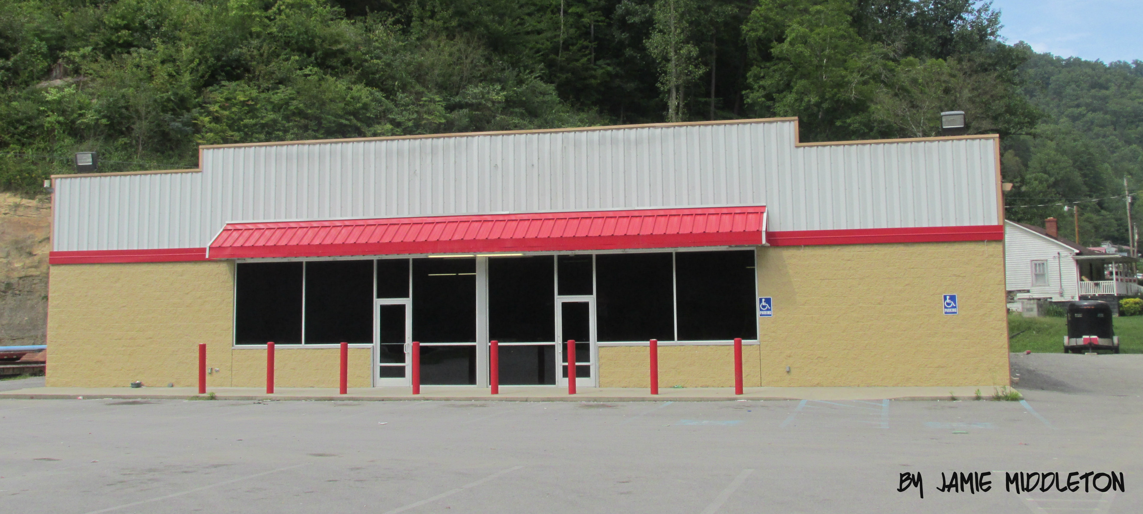
Famiy Dollar -- Dorton, Kentucky

Family Dollar -- Robinson Creek, Kentucky
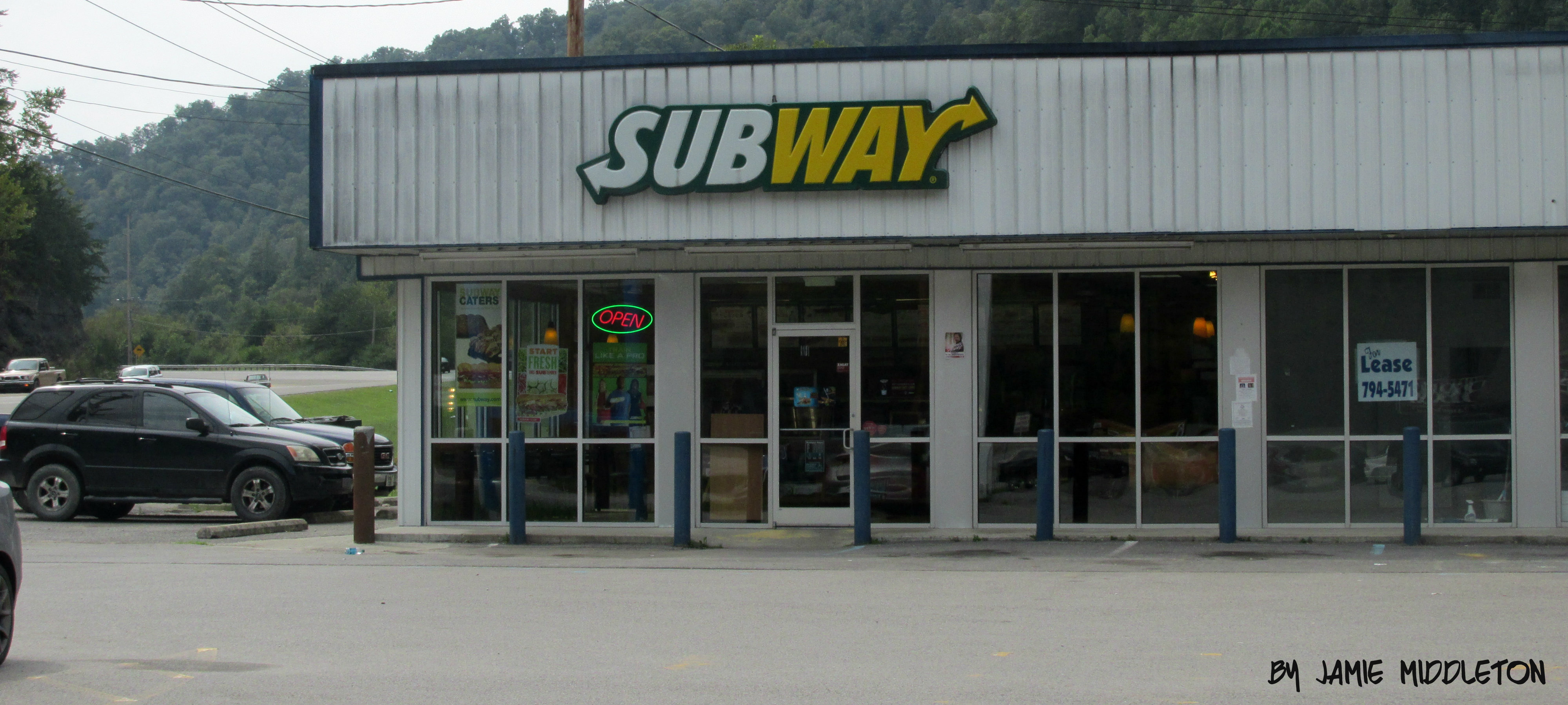
Subway -- Robinson Creek, Kentucky

Next country star
Topographic Map of KY-, Melvin, KY, USA
Find elevation by address:

Places near KY-, Melvin, KY, USA:
KY-, Bypro, KY, USA
Ligon Camp Rd, Beaver, KY, USA
Bypro
KY-, Wheelwright, KY, USA
Bevinsville
KY-, Bevinsville, KY, USA
KY-, Hi Hat, KY, USA
Hi Hat
KY-, Bevinsville, KY, USA
Indian Creek Rd, Virgie, KY, USA
Beaver
KY-, Hi Hat, KY, USA
Long Fork, Virgie, KY, USA
KY-, Virgie, KY, USA
2172 Long Fork
KY-, Kite, KY, USA
KY-, Hi Hat, KY, USA
KY-, Teaberry, KY, USA
245 Butcher Knife Hollow Rd
Teaberry
Recent Searches:
- Elevation of Beall Road, Beall Rd, Florida, USA
- Elevation of Leguwa, Nepal
- Elevation of County Rd, Enterprise, AL, USA
- Elevation of Kolchuginsky District, Vladimir Oblast, Russia
- Elevation of Shustino, Vladimir Oblast, Russia
- Elevation of Lampiasi St, Sarasota, FL, USA
- Elevation of Elwyn Dr, Roanoke Rapids, NC, USA
- Elevation of Congressional Dr, Stevensville, MD, USA
- Elevation of Bellview Rd, McLean, VA, USA
- Elevation of Stage Island Rd, Chatham, MA, USA