Elevation of Butcher Knife Hollow Rd, Topmost, KY, USA
Location: United States > Kentucky > Knott County > Topmost >
Longitude: -82.785496
Latitude: 37.3390858
Elevation: 301m / 988feet
Barometric Pressure: 98KPa
Elevation Map:
Satellite Map:
Related Photos:
kentucky.
2012-07-01 11.40.31

Mill Creek Community Meeting
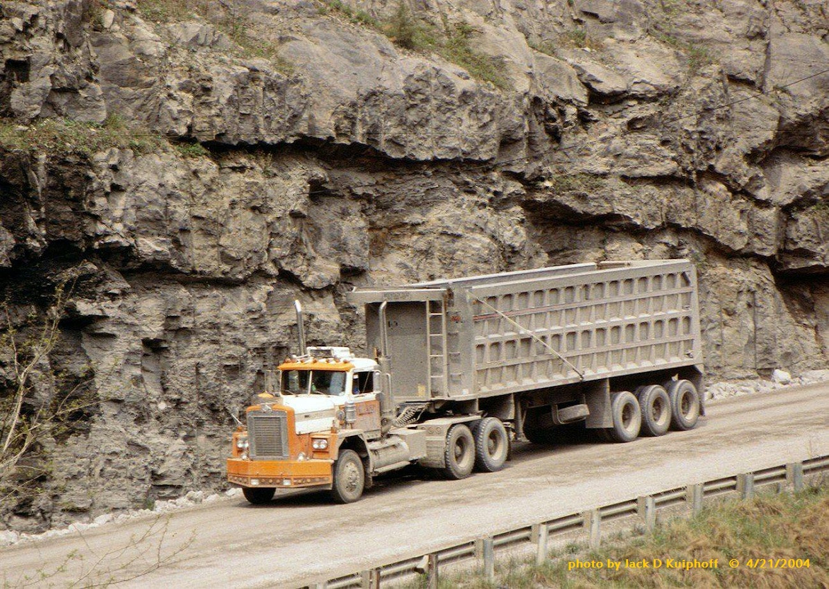
Diamond Reo Vergy, KY 4-21-04

Chessie 3864 (GP38)

Wayland High School

Hindman, Kentucky United Methodist Women Opening Umbrellas to intercept human traffickers.

Mack, with tri-axle bucket, Seco, KY, 4-22-2004
Topographic Map of Butcher Knife Hollow Rd, Topmost, KY, USA
Find elevation by address:

Places near Butcher Knife Hollow Rd, Topmost, KY, USA:
338 Potato Branch Rd
Topmost
KY-7, Kite, KY, USA
Kite
Bevinsville
KY-, Kite, KY, USA
KY-, Bevinsville, KY, USA
KY-, Bevinsville, KY, USA
Bypro
KY-, Wheelwright, KY, USA
KY-, Bypro, KY, USA
KY-, Hi Hat, KY, USA
KY-, Hi Hat, KY, USA
Hi Hat
Pippa Passes
KY-, Melvin, KY, USA
Spruce Pine Rd, Pippa Passes, KY, USA
KY-, Hi Hat, KY, USA
435 Martin Branch Rd
KY-, Pine Top, KY, USA
Recent Searches:
- Elevation of N, Mt Pleasant, UT, USA
- Elevation of 6 Rue Jules Ferry, Beausoleil, France
- Elevation of Sattva Horizon, 4JC6+G9P, Vinayak Nagar, Kattigenahalli, Bengaluru, Karnataka, India
- Elevation of Great Brook Sports, Gold Star Hwy, Groton, CT, USA
- Elevation of 10 Mountain Laurels Dr, Nashua, NH, USA
- Elevation of 16 Gilboa Ln, Nashua, NH, USA
- Elevation of Laurel Rd, Townsend, TN, USA
- Elevation of 3 Nestling Wood Dr, Long Valley, NJ, USA
- Elevation of Ilungu, Tanzania
- Elevation of Yellow Springs Road, Yellow Springs Rd, Chester Springs, PA, USA