Elevation of Hi Hat, McDowell, KY, USA
Location: United States > Kentucky > Floyd County > Mcdowell >
Longitude: -82.729046
Latitude: 37.3917681
Elevation: 342m / 1122feet
Barometric Pressure: 97KPa
Elevation Map:
Satellite Map:
Related Photos:

Kentucky 2009 - 40
kentucky.
Cemetery Road
2012-07-01 11.40.31
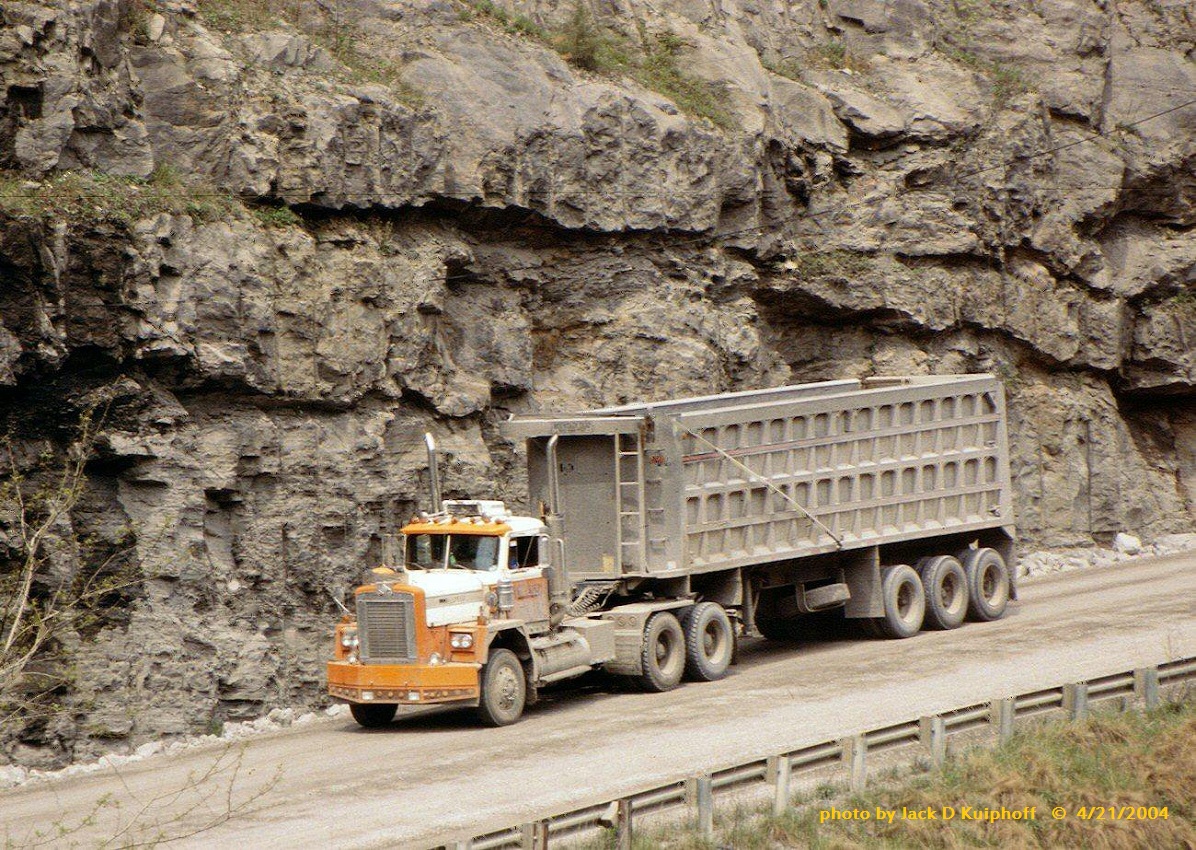
Diamond Reo Vergy, KY 4-21-04

Mack, with tri-axle bucket, Seco, KY, 4-22-2004
Topographic Map of Hi Hat, McDowell, KY, USA
Find elevation by address:

Places in Hi Hat, McDowell, KY, USA:
Places near Hi Hat, McDowell, KY, USA:
KY-, Hi Hat, KY, USA
KY-, Hi Hat, KY, USA
KY-, Bevinsville, KY, USA
Bypro
KY-, Hi Hat, KY, USA
KY-, Bypro, KY, USA
Bevinsville
KY-, Melvin, KY, USA
KY-, Wheelwright, KY, USA
Ligon Camp Rd, Beaver, KY, USA
Topmost
Beaver
KY-, Bevinsville, KY, USA
245 Butcher Knife Hollow Rd
338 Potato Branch Rd
Walker Tackett Dr, Teaberry, KY, USA
KY-, Teaberry, KY, USA
Teaberry
KY-, Kite, KY, USA
KY-7, Kite, KY, USA
Recent Searches:
- Elevation of 15th Ave SE, St. Petersburg, FL, USA
- Elevation of Beall Road, Beall Rd, Florida, USA
- Elevation of Leguwa, Nepal
- Elevation of County Rd, Enterprise, AL, USA
- Elevation of Kolchuginsky District, Vladimir Oblast, Russia
- Elevation of Shustino, Vladimir Oblast, Russia
- Elevation of Lampiasi St, Sarasota, FL, USA
- Elevation of Elwyn Dr, Roanoke Rapids, NC, USA
- Elevation of Congressional Dr, Stevensville, MD, USA
- Elevation of Bellview Rd, McLean, VA, USA