Elevation of KY-, Hi Hat, KY, USA
Location: United States > Kentucky > Floyd County > Mcdowell > Hi Hat >
Longitude: -82.741063
Latitude: 37.4275874
Elevation: 237m / 778feet
Barometric Pressure: 99KPa
Elevation Map:
Satellite Map:
Related Photos:
kentucky.
Youthworks 2005 065
Youthworks 2005 066

Kentucky 2009 - 40

Rat rod

Next country star
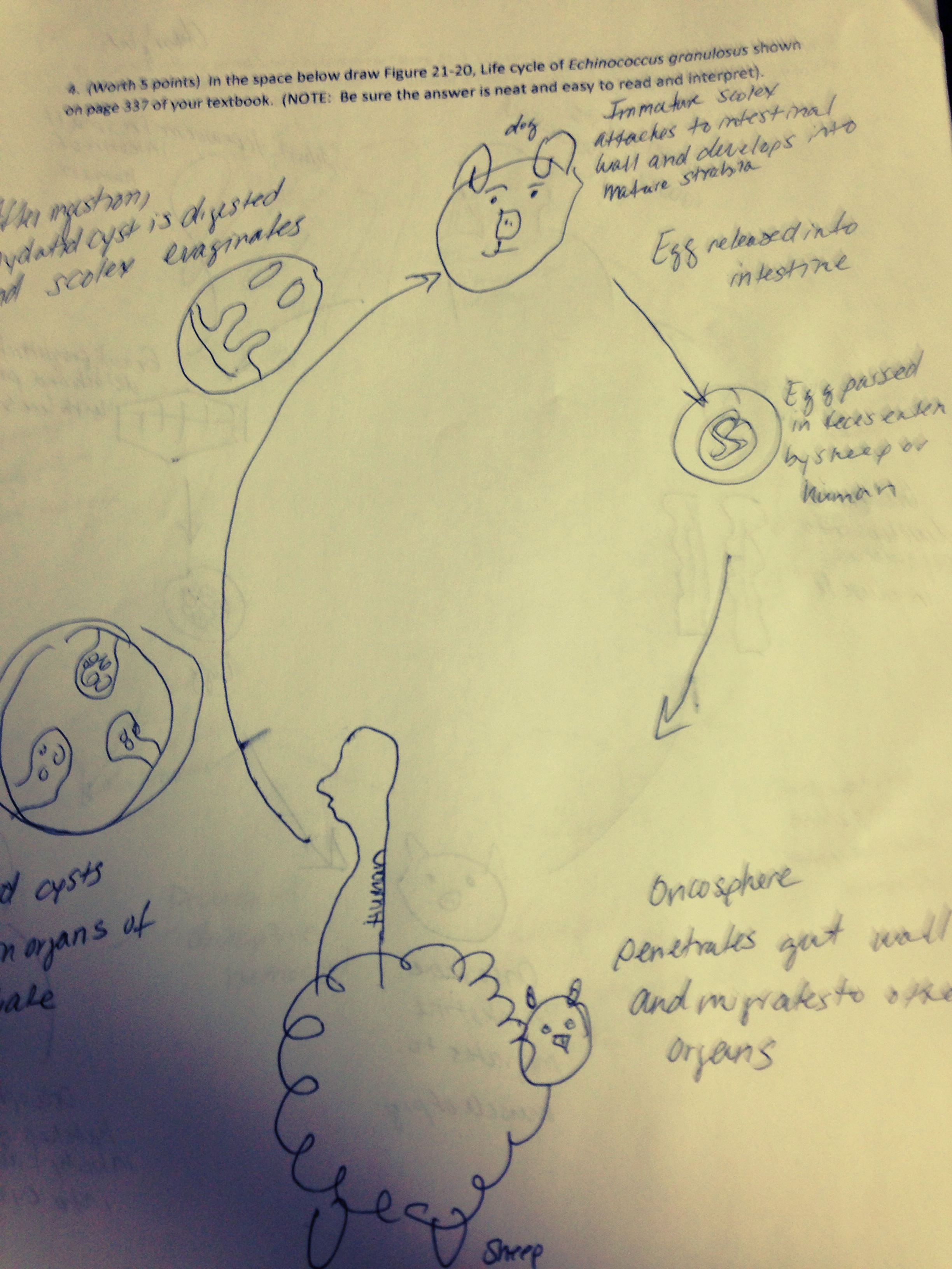
Biology Major Problems

f4 and be there

Mill Creek Community Meeting

Why Are You Walking on the Railroad Track?

Fishing Left Beaver Creek

Cygnet Crescent

Very insightful quotation

Future Mini Watercolor Boxes
Topographic Map of KY-, Hi Hat, KY, USA
Find elevation by address:

Places near KY-, Hi Hat, KY, USA:
KY-, Hi Hat, KY, USA
Hi Hat
KY-, Hi Hat, KY, USA
KY-, Bevinsville, KY, USA
Bypro
KY-, Bypro, KY, USA
Bevinsville
Walker Tackett Dr, Teaberry, KY, USA
Topmost
KY-, Melvin, KY, USA
Ligon Camp Rd, Beaver, KY, USA
Beaver
338 Potato Branch Rd
KY-, Teaberry, KY, USA
KY-, Wheelwright, KY, USA
Teaberry
245 Butcher Knife Hollow Rd
KY-, Bevinsville, KY, USA
KY-7, Kite, KY, USA
Kite
Recent Searches:
- Elevation of Leguwa, Nepal
- Elevation of County Rd, Enterprise, AL, USA
- Elevation of Kolchuginsky District, Vladimir Oblast, Russia
- Elevation of Shustino, Vladimir Oblast, Russia
- Elevation of Lampiasi St, Sarasota, FL, USA
- Elevation of Elwyn Dr, Roanoke Rapids, NC, USA
- Elevation of Congressional Dr, Stevensville, MD, USA
- Elevation of Bellview Rd, McLean, VA, USA
- Elevation of Stage Island Rd, Chatham, MA, USA
- Elevation of Shibuya Scramble Crossing, 21 Udagawacho, Shibuya City, Tokyo -, Japan