Elevation of Kulti, West Bengal, India
Location: India > West Bengal > Bardhaman >
Longitude: 86.8399213
Latitude: 23.7299932
Elevation: 151m / 495feet
Barometric Pressure: 100KPa
Elevation Map:
Satellite Map:
Related Photos:

Landscapes from Purulia - Baranti

Lawhmeyer's Park at Burnpur, May 2013

Thoughts i camera

Landscapes from Purulia - Baranti

Panchokot Hill, Purulia

Garpanchokot Ruins in front of Panchokot Hill

Panchokot Hill back drop

Ruins at Panchokot

Panchokot Hill

Locked and abandoned ...

PEACE through SOLITUDE in SERENITY

Believe that

2017-03-13_04-41-21

2017-03-13_09-15-55

zindagi me jisse pyar karta hu..wo bhagh jata hay... sab se jada nindh ko pyar kiya...wo vi bhagh gaya.. sala life hey..ya kya...?? samajh me nhi a raha hey..

Weather in rain...

Give Me...

ফিরে দেখা মুহূর্ত... একটু বেশী....

Believe that

PicsArt_02-27-08.48.01

Brokenhearts...

flower garden

2017-02-21_10-11-27

2017-02-19_09-57-46

2017-01-08_12-47-48

Good Morning sweethearts..

To me B/W symbolizes the alternative of hope & despair to which mankind is ever subjected. #bw #officelife #styles
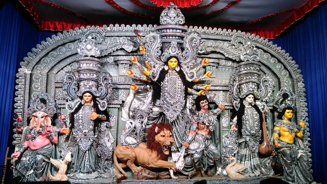
Durga puja with its classic style
Topographic Map of Kulti, West Bengal, India
Find elevation by address:

Places near Kulti, West Bengal, India:
Gopalpur
Asansol
Gar Panchkot
Garh Panchokot Hills
Biharinath Hill
Raghunathpur
Dhanbad
Dhanbad
Chhatna
Jabarrah High School
Taragati Samanta Road
Kenduadihi
Bankura
Jharkhand, India
Kharni
Purulia
Bankura
Purulia
Debedia Durga Temple
Dugda
Recent Searches:
- Elevation of Elwyn Dr, Roanoke Rapids, NC, USA
- Elevation of Congressional Dr, Stevensville, MD, USA
- Elevation of Bellview Rd, McLean, VA, USA
- Elevation of Stage Island Rd, Chatham, MA, USA
- Elevation of Shibuya Scramble Crossing, 21 Udagawacho, Shibuya City, Tokyo -, Japan
- Elevation of Jadagoniai, Kaunas District Municipality, Lithuania
- Elevation of Pagonija rock, Kranto 7-oji g. 8"N, Kaunas, Lithuania
- Elevation of Co Rd 87, Jamestown, CO, USA
- Elevation of Tenjo, Cundinamarca, Colombia
- Elevation of Côte-des-Neiges, Montreal, QC H4A 3J6, Canada