Elevation of Biharinath Hill, West Bengal
Location: India > West Bengal > Bankura >
Longitude: 86.9398759
Latitude: 23.5756002
Elevation: 390m / 1280feet
Barometric Pressure: 97KPa
Elevation Map:
Satellite Map:
Related Photos:

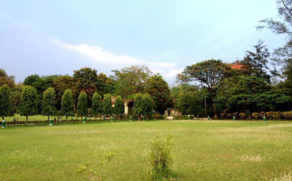
A view to the commonly seen

Way to Baranti Hill

Muradi Dam

Muradi Dam

Muradi Dam

Muradi Dam

Muradi Dam
Lawhmeyer's Park at Burnpur, May 2013
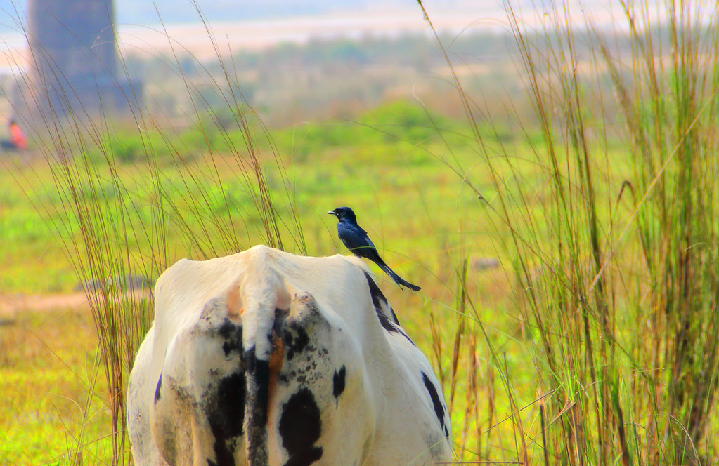
Damodar safari

2017-05-12_08-58-39

2017-04-30_06-16-49

Believe that

2017-03-13_04-41-21

2017-03-13_09-15-55

zindagi me jisse pyar karta hu..wo bhagh jata hay... sab se jada nindh ko pyar kiya...wo vi bhagh gaya.. sala life hey..ya kya...?? samajh me nhi a raha hey..

Weather in rain...

Give Me...

ফিরে দেখা মুহূর্ত... একটু বেশী....

Believe that

PicsArt_02-27-08.48.01

Brokenhearts...

flower garden

2017-02-21_10-11-27

2017-02-19_09-57-46

2017-01-19_10-25-42

Good Morning...

2017-01-08_12-47-48

#winter #mornings #iPhone #smartphone #photography #home #garden #feelgood #light #colour #yoga #morningperson #rose #pinkorange
Topographic Map of Biharinath Hill, West Bengal
Find elevation by address:

Places near Biharinath Hill, West Bengal:
Asansol
Gopalpur
Gar Panchkot
Garh Panchokot Hills
Kulti
Chhatna
Raghunathpur
Taragati Samanta Road
Kenduadihi
Bankura
Bankura
Jabarrah High School
Debedia Durga Temple
Dhanbad
Purulia
Dhanbad
Purulia
Jharkhand, India
Kharni
Bokaro Steel City
Recent Searches:
- Elevation of Slanický ostrov, 01 Námestovo, Slovakia
- Elevation of Spaceport America, Co Rd A, Truth or Consequences, NM, USA
- Elevation of Warwick, RI, USA
- Elevation of Fern Rd, Whitmore, CA, USA
- Elevation of 62 Abbey St, Marshfield, MA, USA
- Elevation of Fernwood, Bradenton, FL, USA
- Elevation of Felindre, Swansea SA5 7LU, UK
- Elevation of Leyte Industrial Development Estate, Isabel, Leyte, Philippines
- Elevation of W Granada St, Tampa, FL, USA
- Elevation of Pykes Down, Ivybridge PL21 0BY, UK