Elevation of King and Queen County, VA, USA
Location: United States > Virginia >
Longitude: -76.895155
Latitude: 37.7298568
Elevation: 37m / 121feet
Barometric Pressure: 101KPa
Elevation Map:
Satellite Map:
Related Photos:
Outside Tappahannock

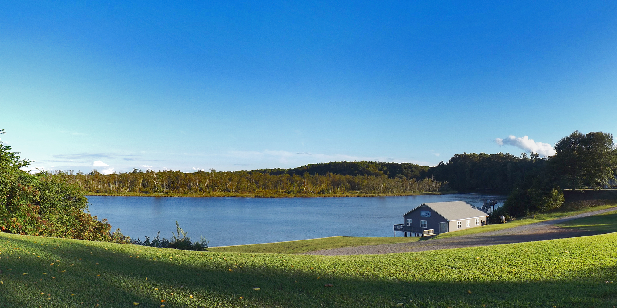
Piscataway Creek
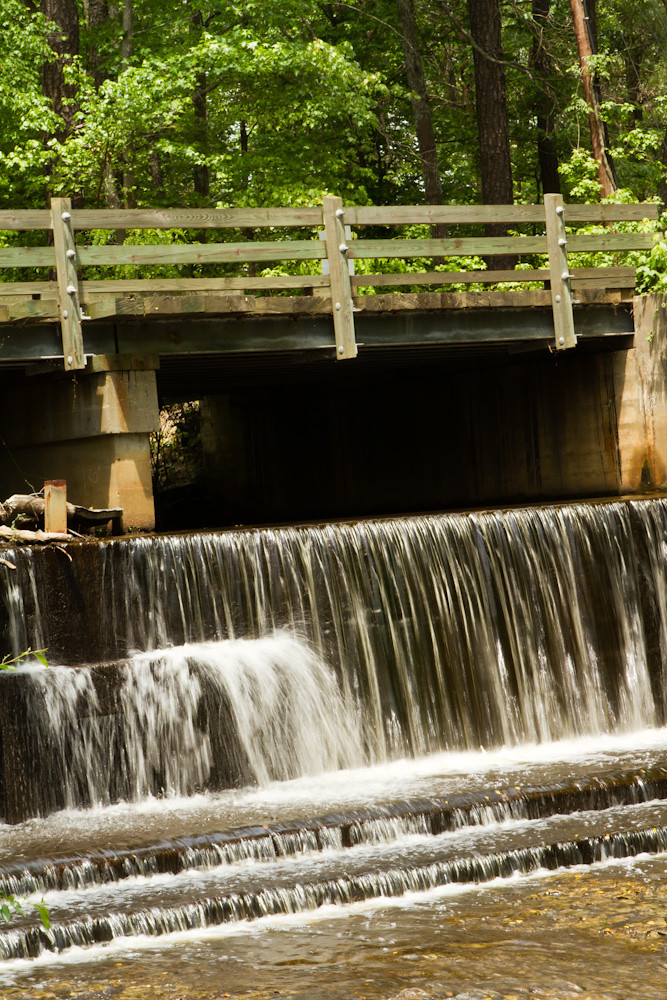
Spillway in Walkerton Va.
Mattaponi River
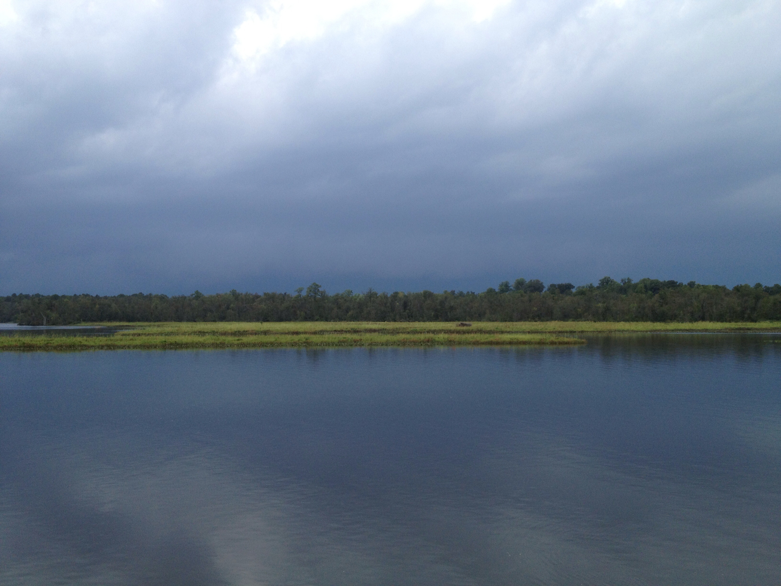
This storm is doing more than just threatening...
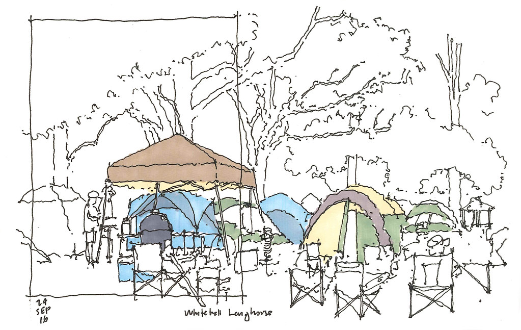
2016 09 24 Whitehall Longhouse

DSCN5727.JPG

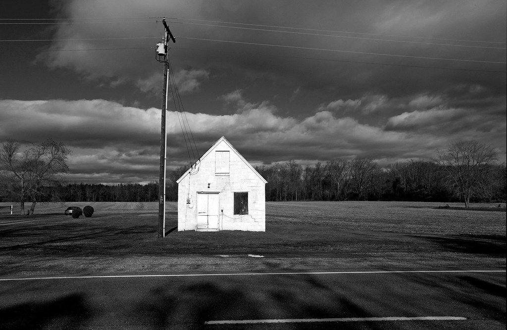
House on a hill
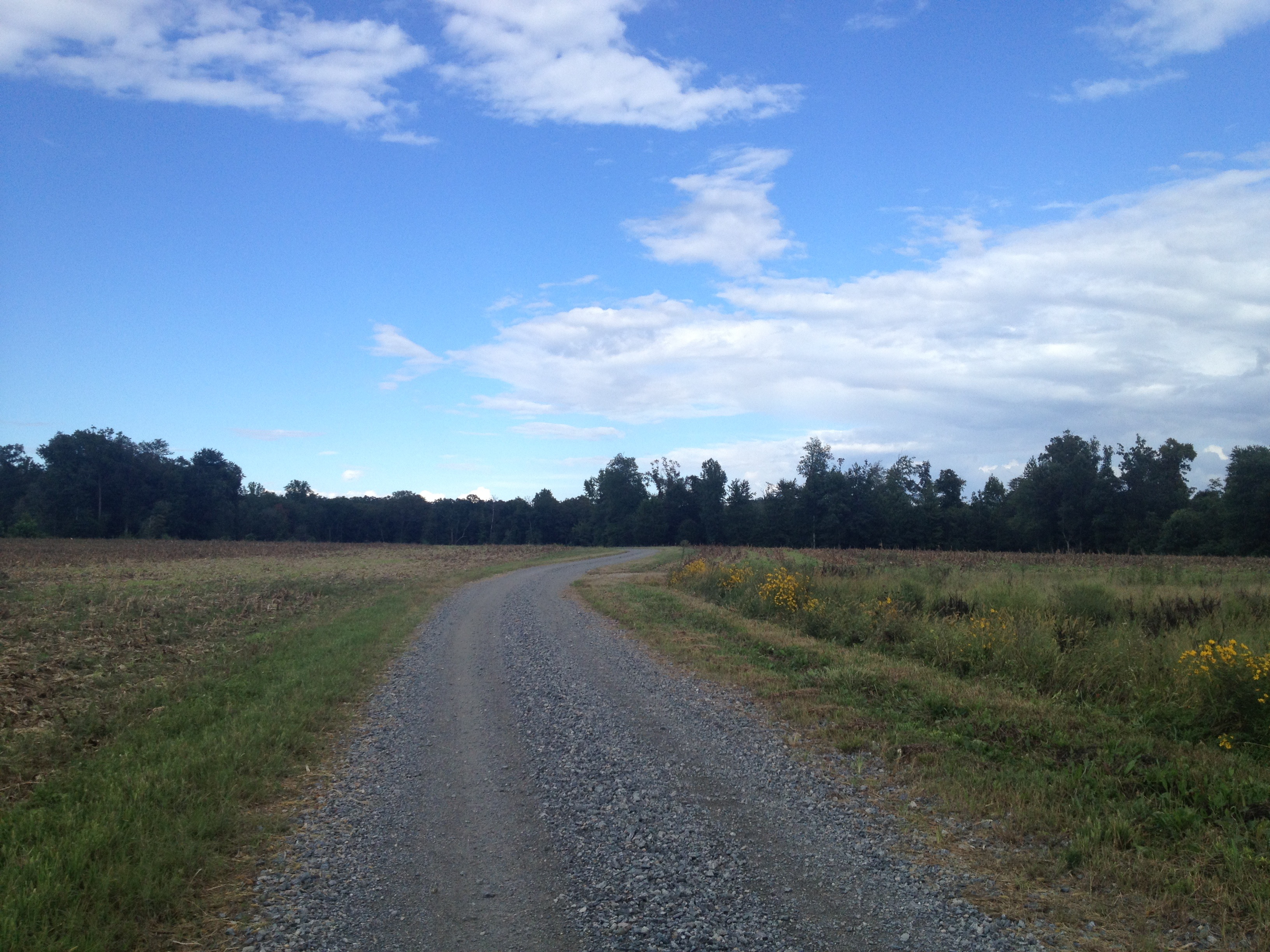
another week passes...Duck Pond Road...

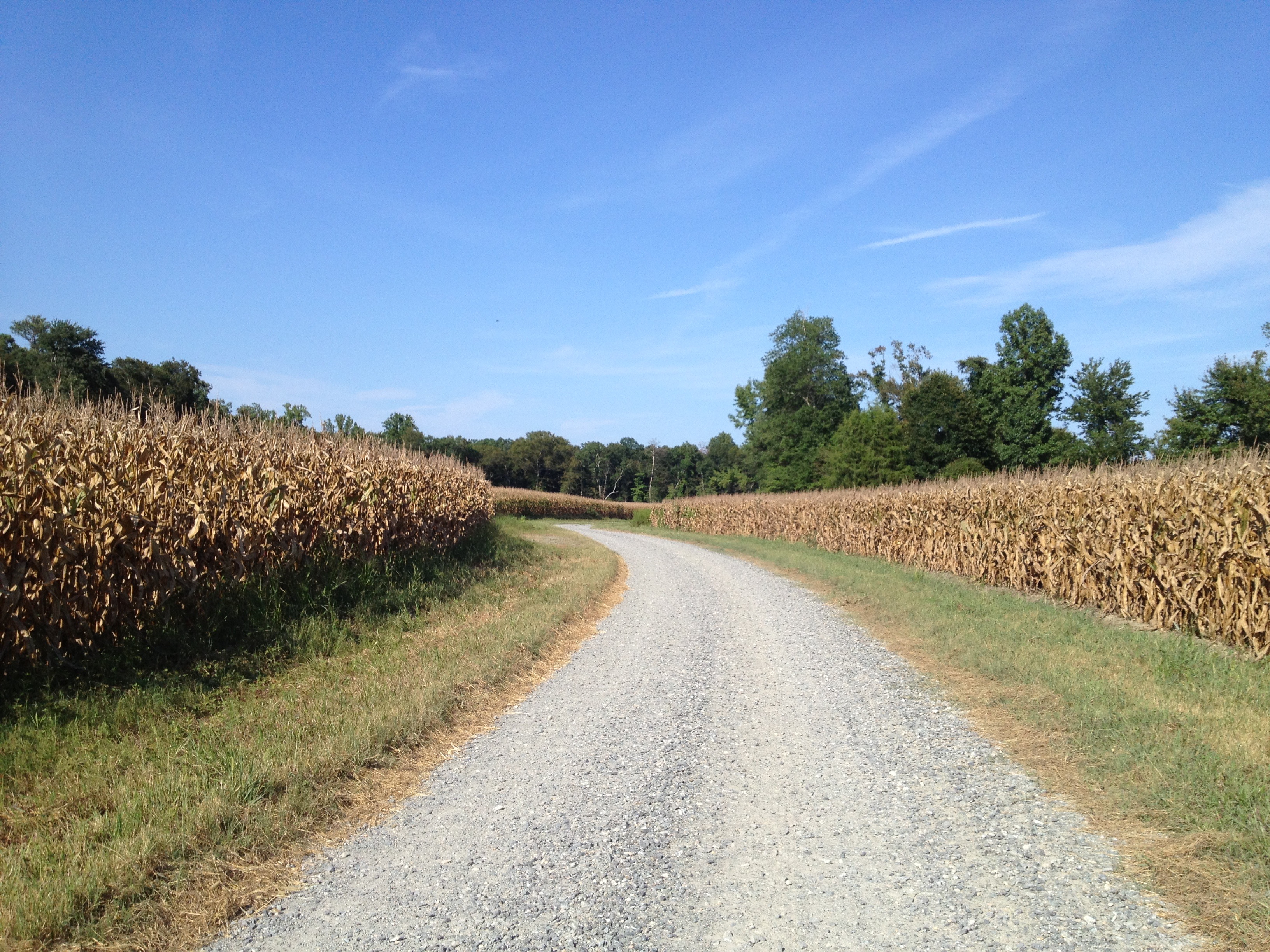
Duck Pond Road a week later...they are picking the corn..,
Duck Pond Road...pre happy hour ride...
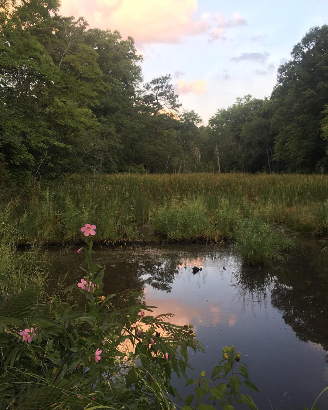
#mosquito haven. #flowers #water #saltmarsh #filter
Topographic Map of King and Queen County, VA, USA
Find elevation by address:

Places in King and Queen County, VA, USA:
Places near King and Queen County, VA, USA:
Allens Cir, King and Queen Court House, VA, USA
Horse Landing Rd, King William, VA, USA
1101 Pierce Ln
Pierce Lane
King William
Courthouse Road
West Point
2917 Richmond Hwy
Powhatan Trail, King William, VA, USA
State Rte, Tappahannock, VA, USA
Little Plymouth
26275 Tidewater Trail
South
South
South
South
South
South
South
South
Recent Searches:
- Elevation of Tenjo, Cundinamarca, Colombia
- Elevation of Côte-des-Neiges, Montreal, QC H4A 3J6, Canada
- Elevation of Bobcat Dr, Helena, MT, USA
- Elevation of Zu den Ihlowbergen, Althüttendorf, Germany
- Elevation of Badaber, Peshawar, Khyber Pakhtunkhwa, Pakistan
- Elevation of SE Heron Loop, Lincoln City, OR, USA
- Elevation of Slanický ostrov, 01 Námestovo, Slovakia
- Elevation of Spaceport America, Co Rd A, Truth or Consequences, NM, USA
- Elevation of Warwick, RI, USA
- Elevation of Fern Rd, Whitmore, CA, USA