Elevation of King William, VA, USA
Location: United States > Virginia > King William County > Acquinton >
Longitude: -77.013683
Latitude: 37.6871635
Elevation: 45m / 148feet
Barometric Pressure: 101KPa
Elevation Map:
Satellite Map:
Related Photos:
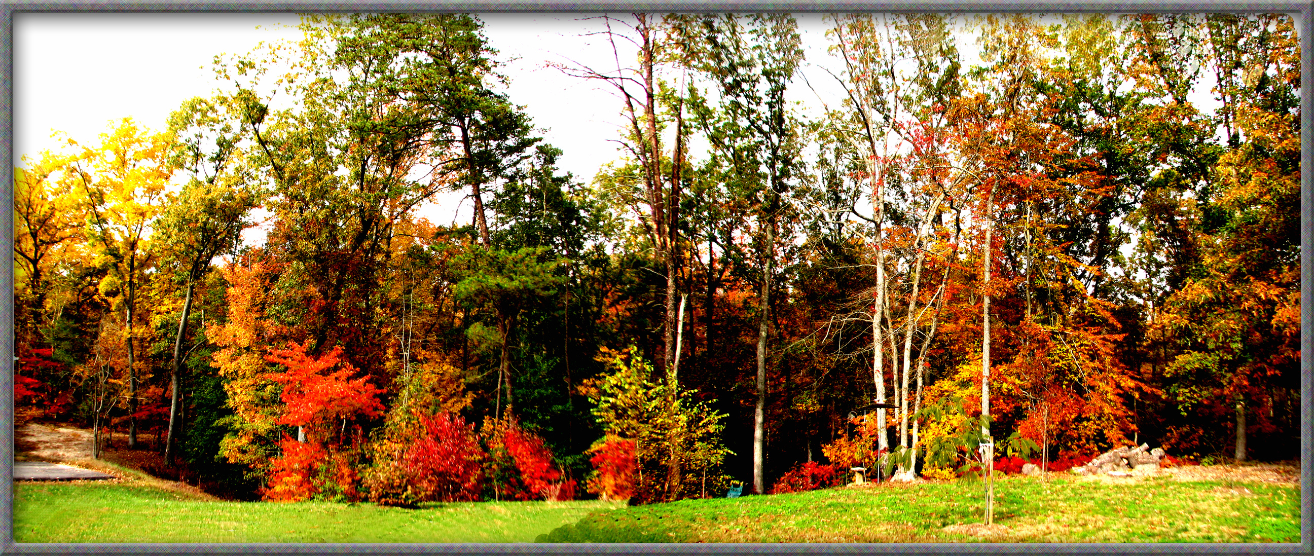
TREES IN AUTUMN IN ALL THEIR COLOR

Party View

Crowd View
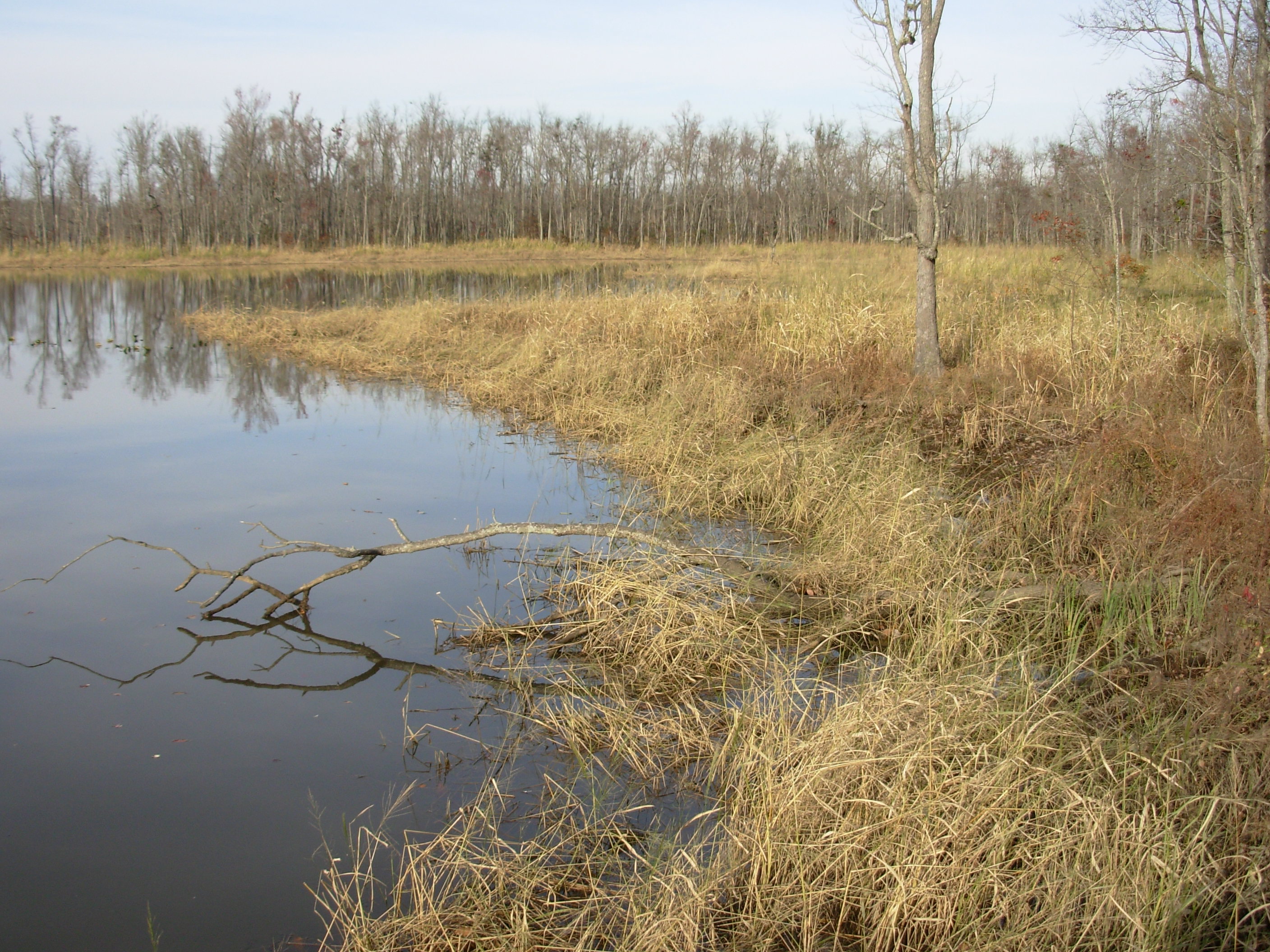
Cumberland Marsh View New Kent VA

Zoar State Forrest, Aylett, Va.

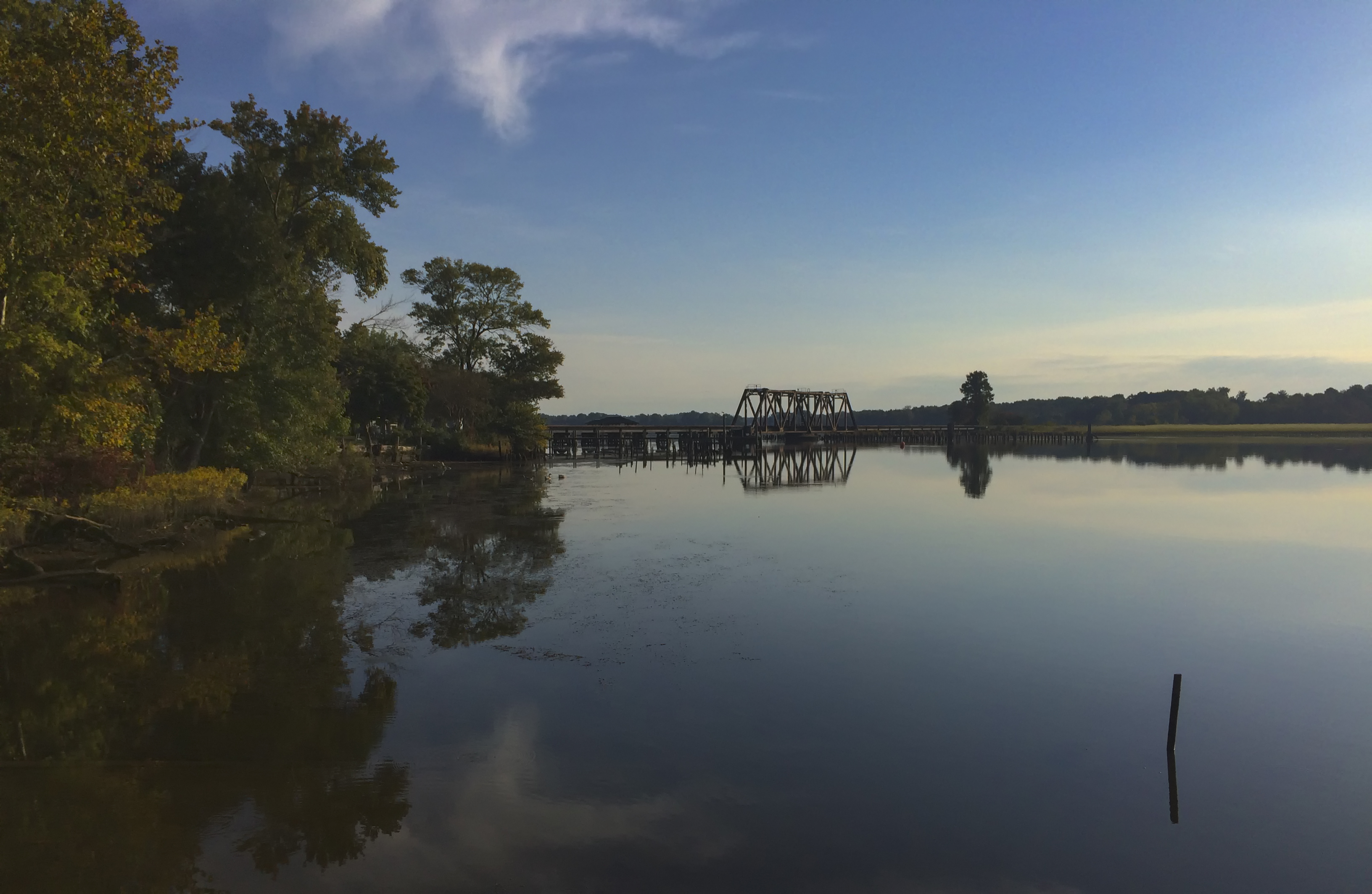
Mattaponi River - Aylett, King William County, VA.
Pumunkey River

Children of the winter wheat
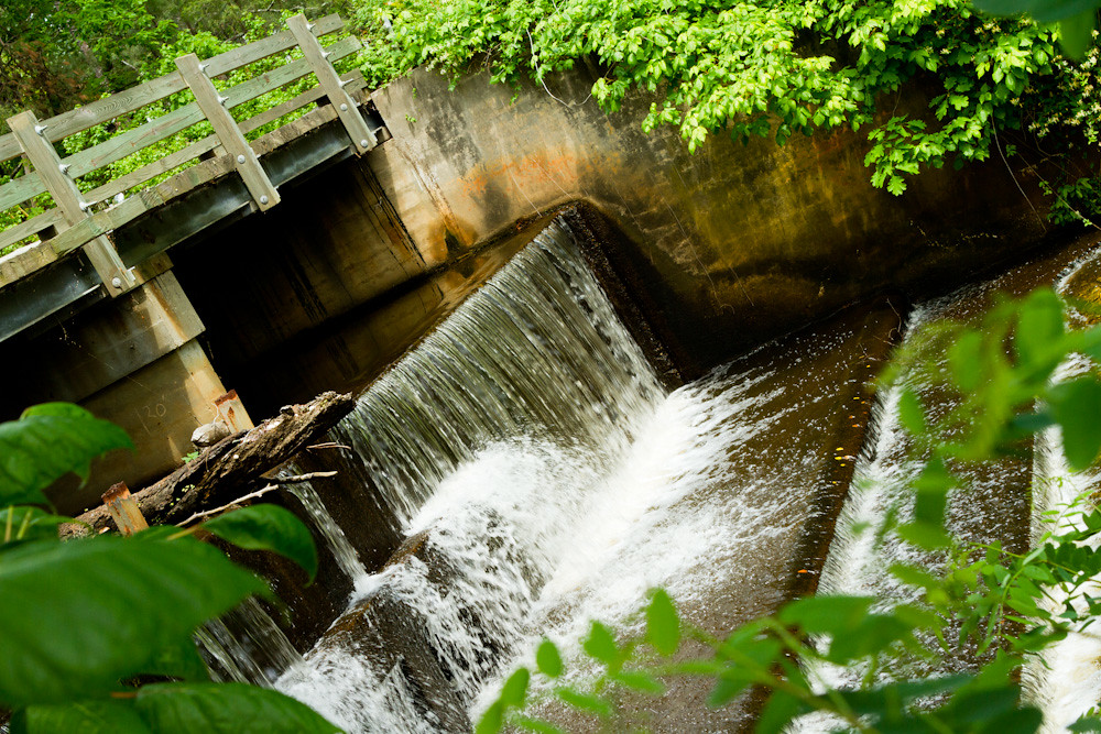
Spillway in Walkerton Va.
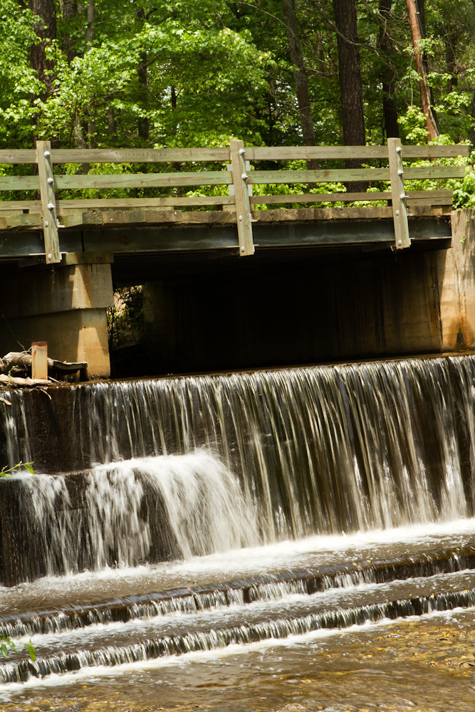
Spillway in Walkerton Va.
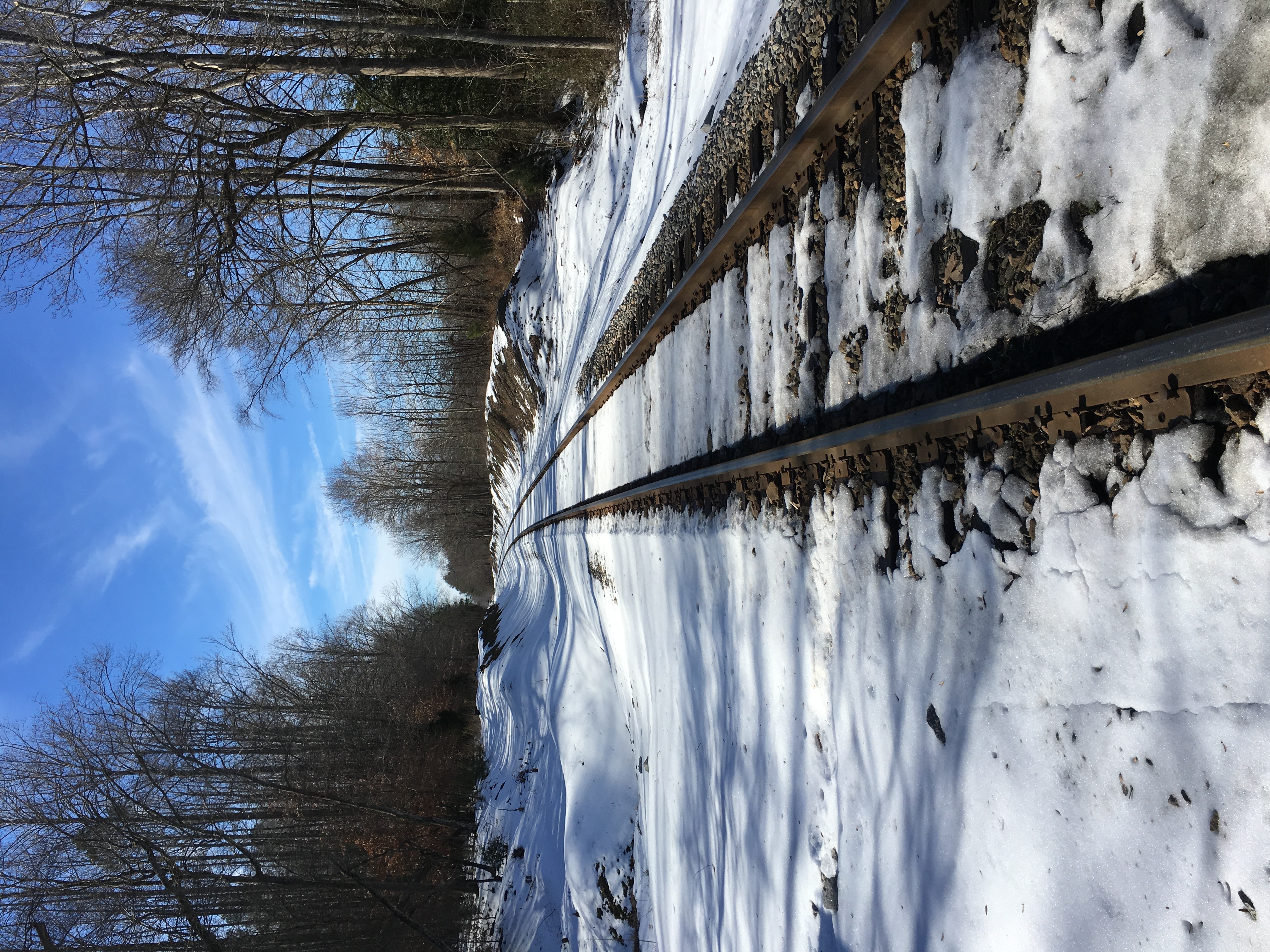
The big meltdown.
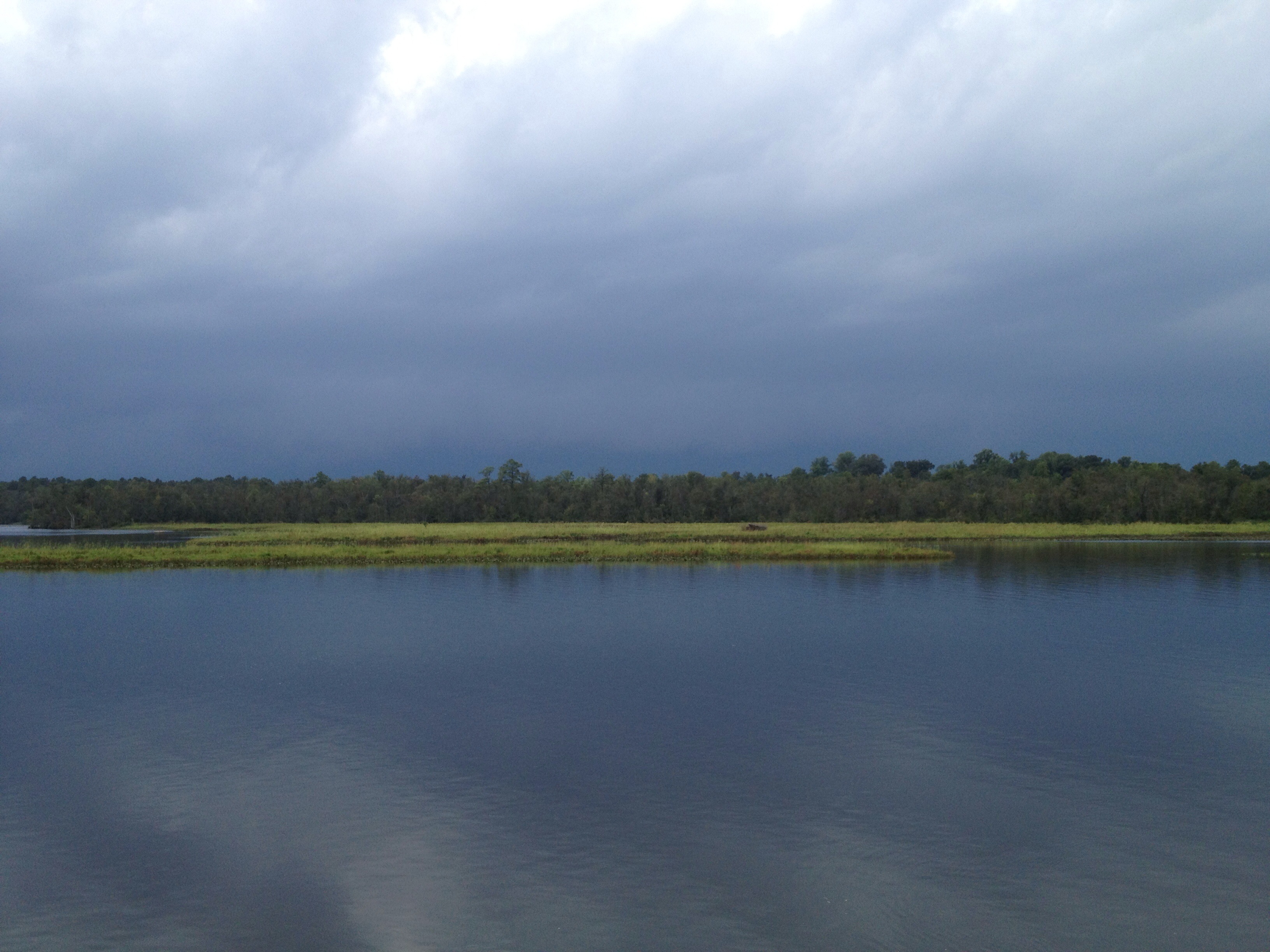
This storm is doing more than just threatening...
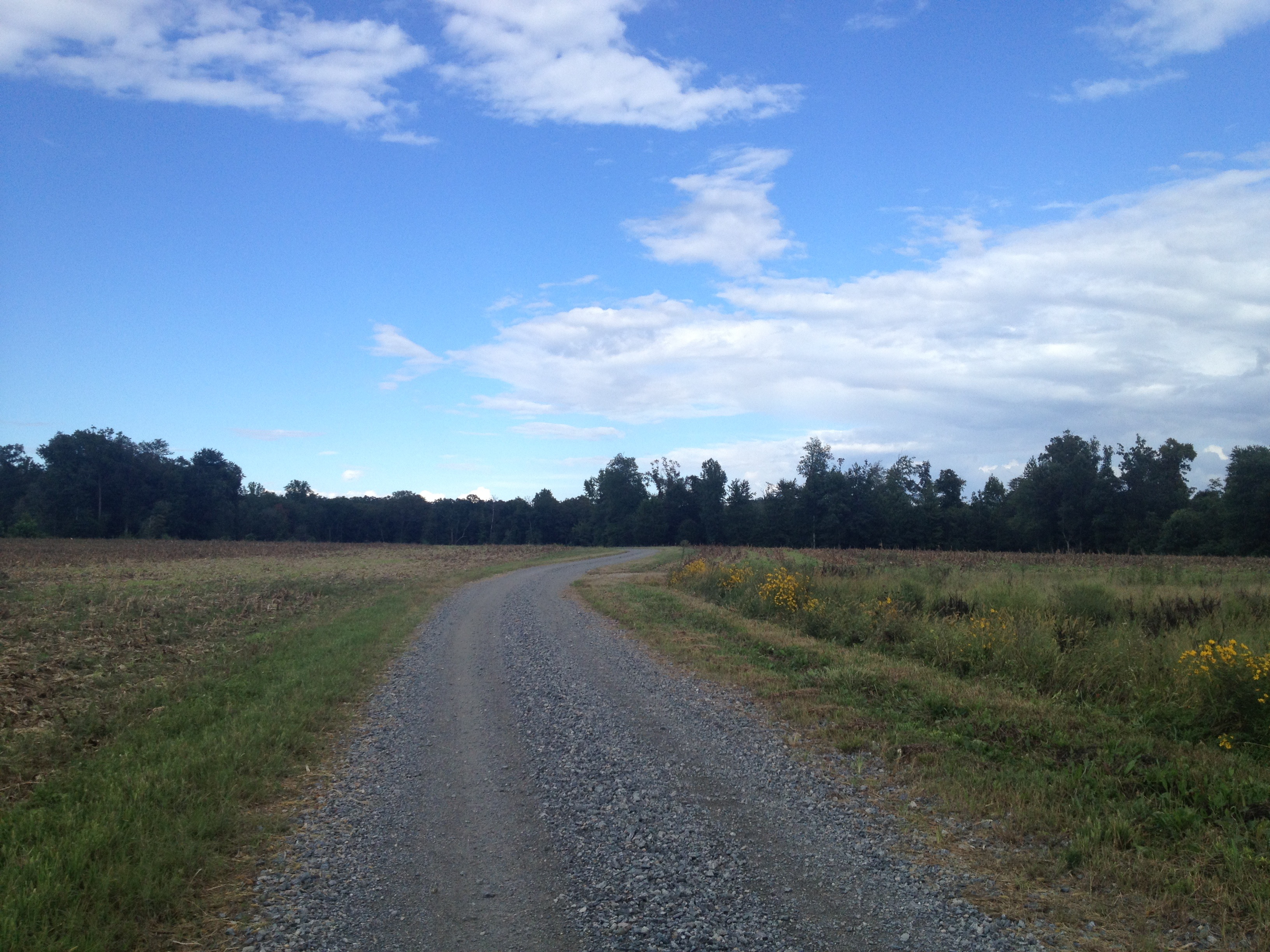
another week passes...Duck Pond Road...
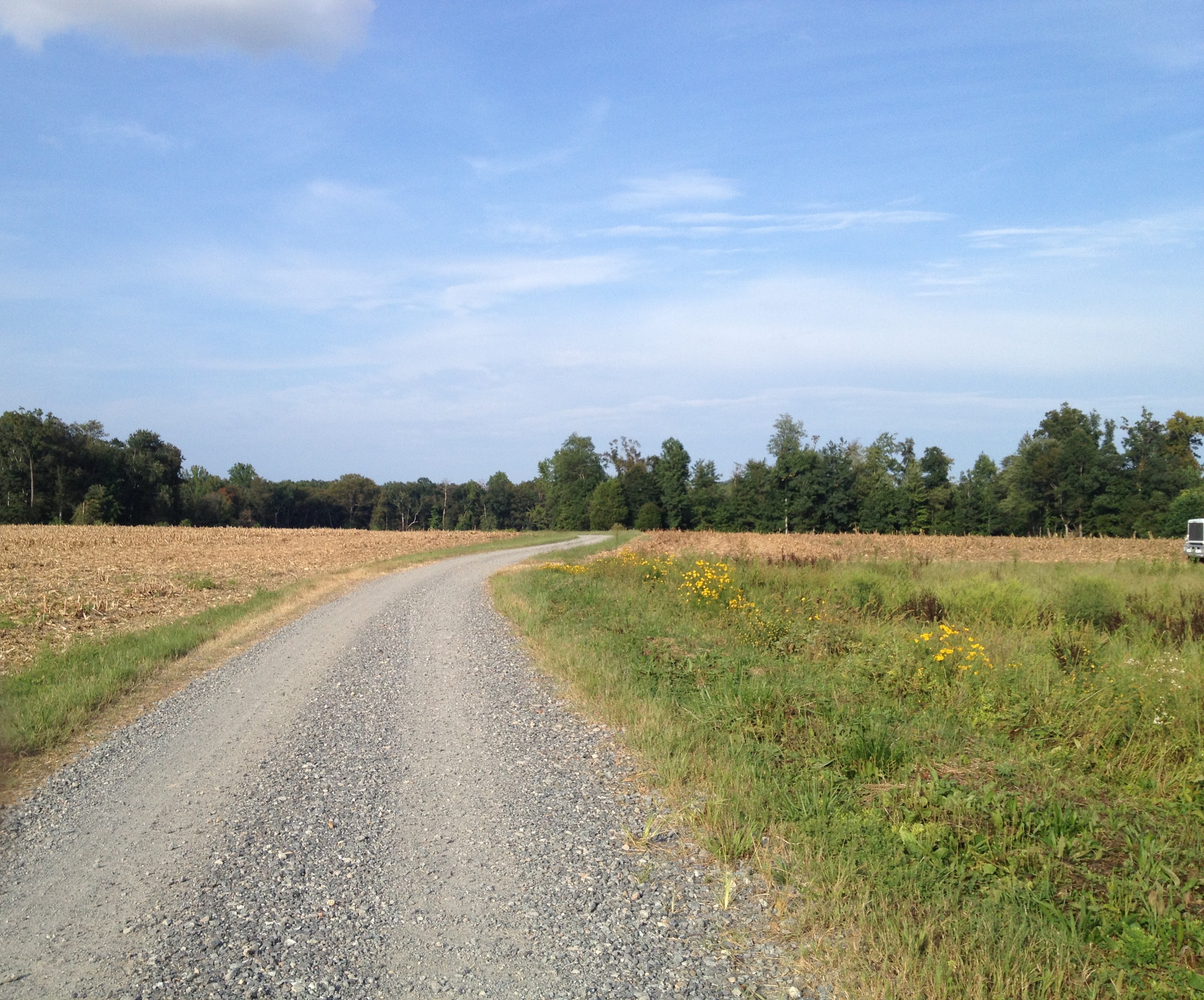
Duck Pond Road...another week gone...as is the corn...

Duck Pond Road a week later...they are picking the corn..,
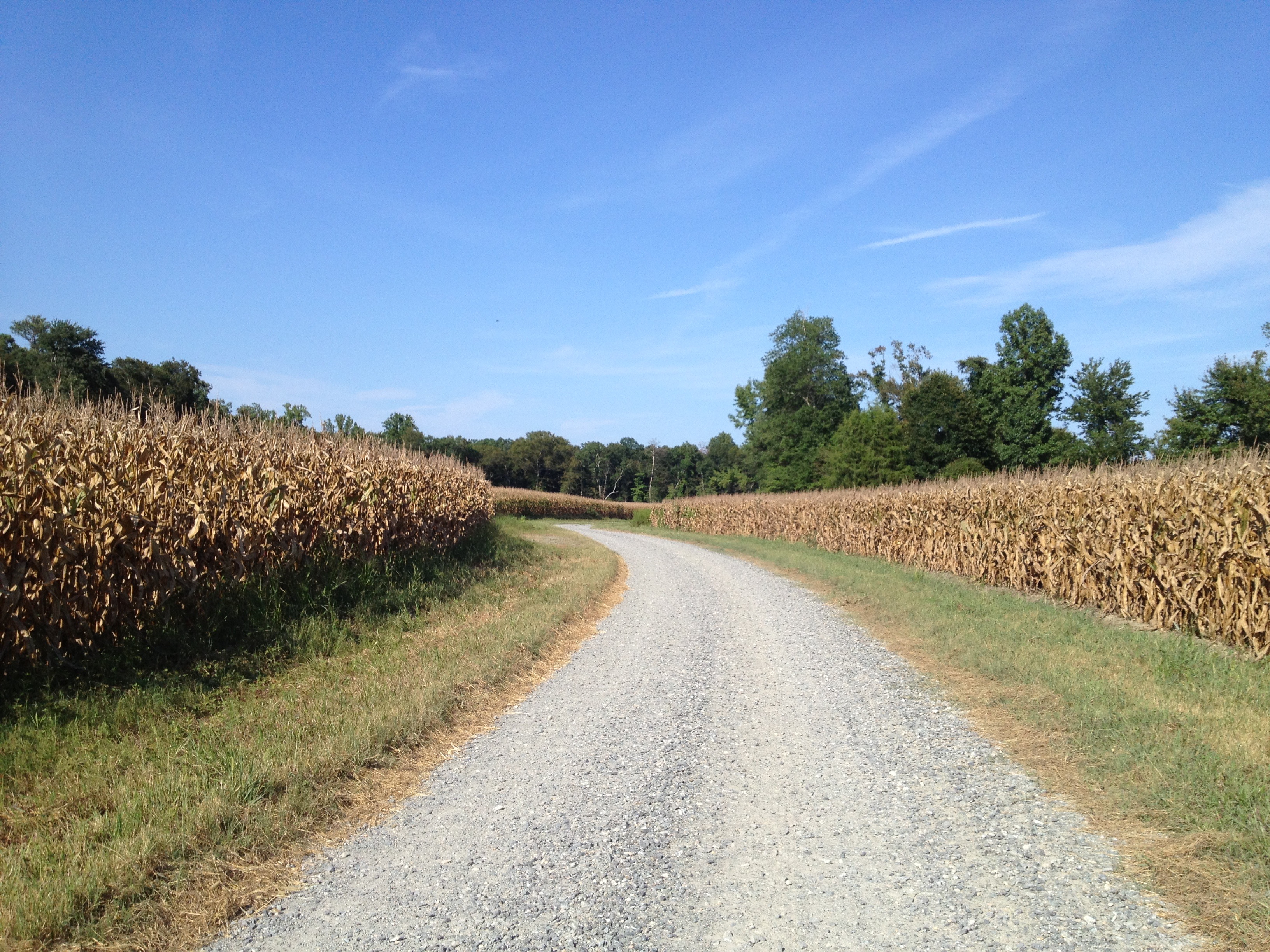
Duck Pond Road...pre happy hour ride...

*pounce*
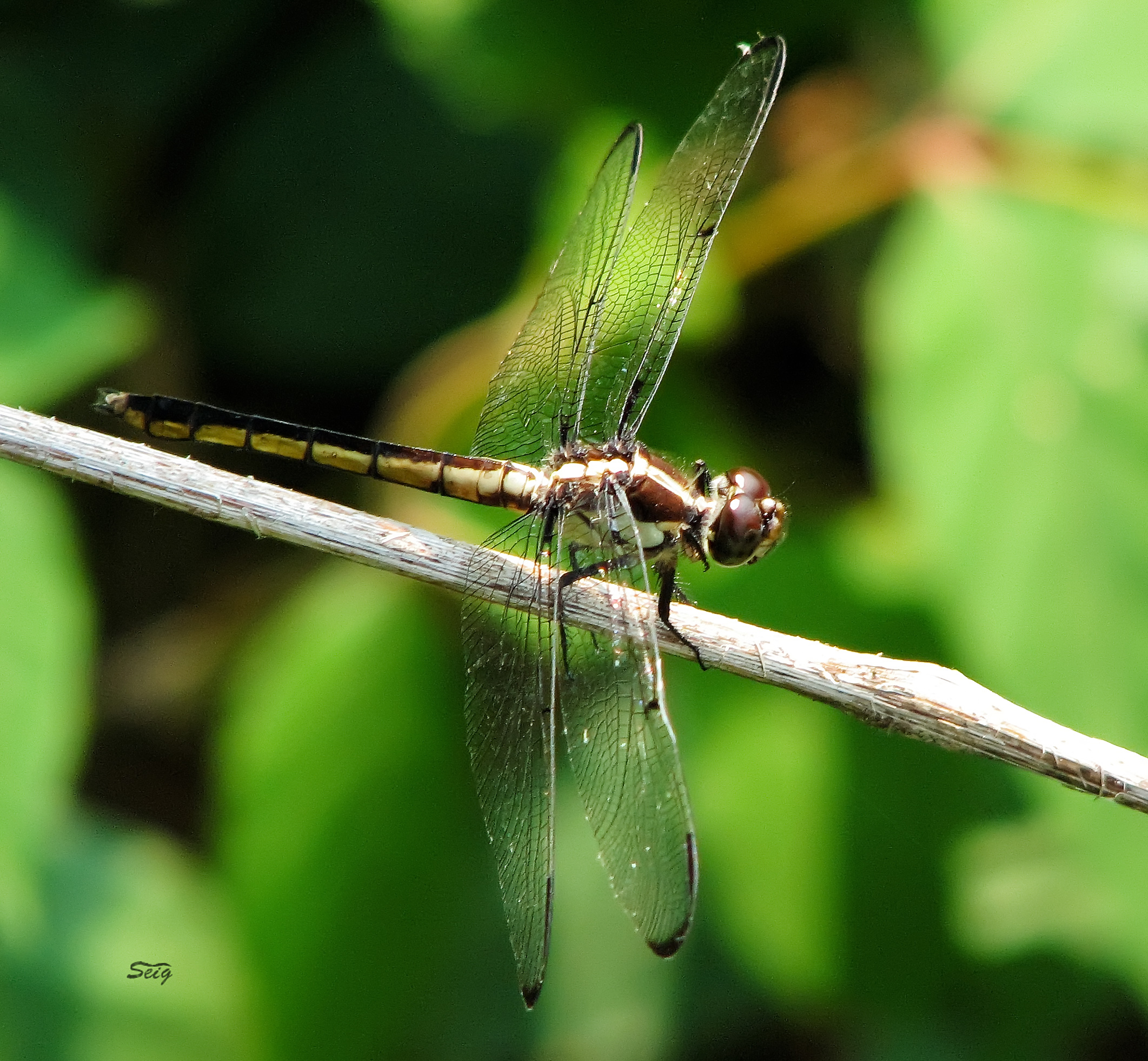
Great Blue Skimmer Libellula vibrans pamunky bird trail_0001
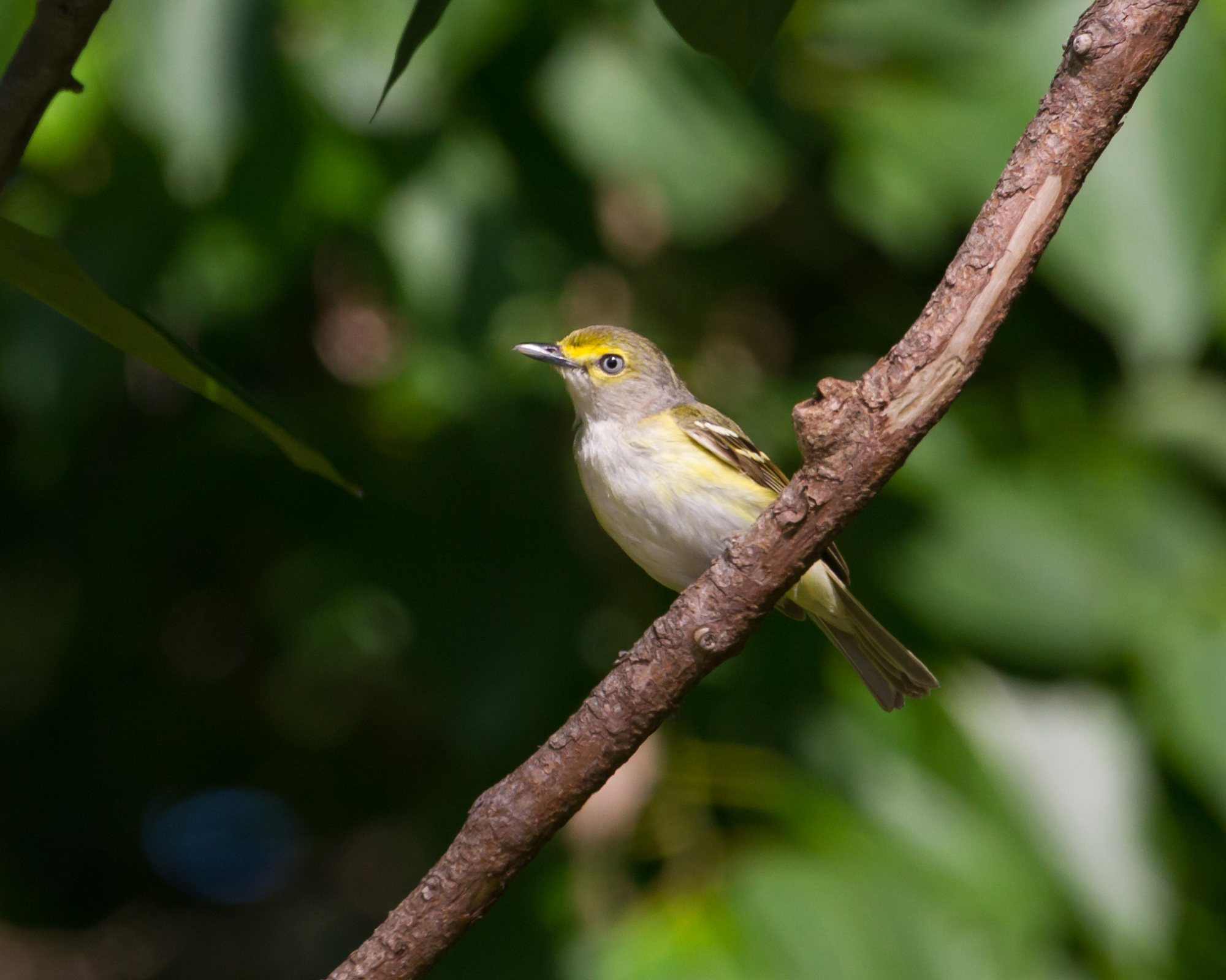
White-eyed Vireo

Struggle...hehe

There it is...
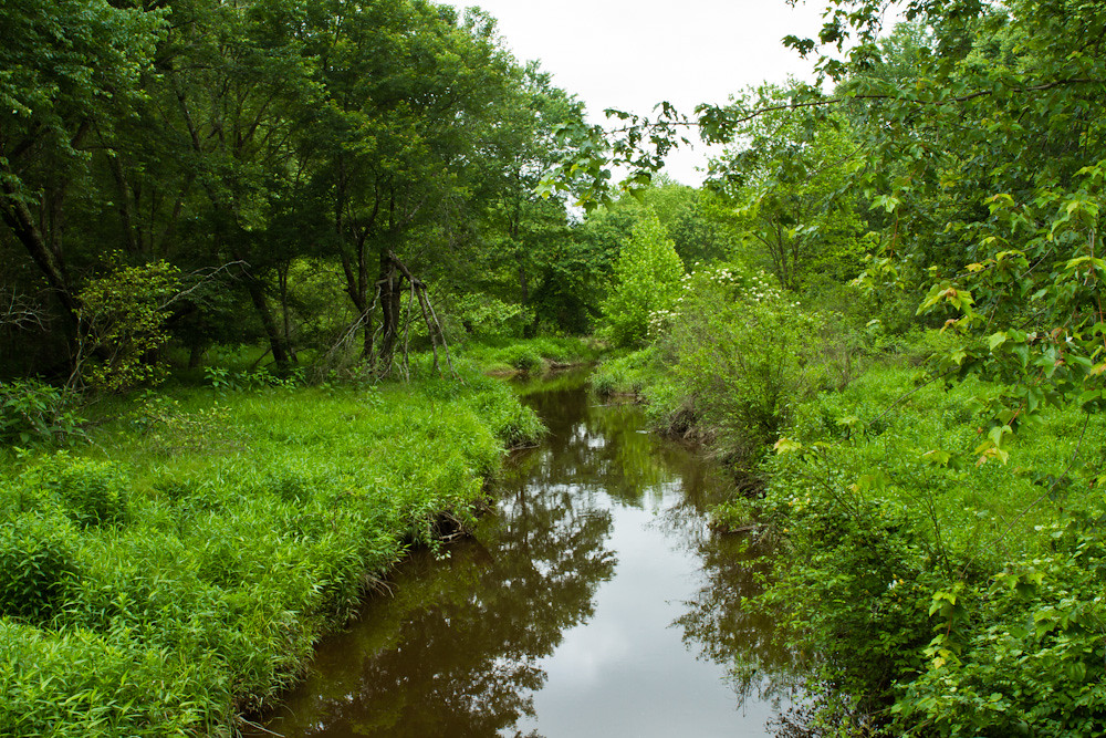
Mounquin Creek

Mounquin Creek
Topographic Map of King William, VA, USA
Find elevation by address:

Places in King William, VA, USA:
Places near King William, VA, USA:
Courthouse Road
Horse Landing Rd, King William, VA, USA
North Point Farm Rd, King William, VA, USA
107 Ayletts Mill Dr
44 Popular Landing Rd, Aylett, VA, USA
Pampatike Rd, King William, VA, USA
Aylett
Manquin
Richmond Tappahannock Hwy, Manquin, VA, USA
Pamunkey Crest Dr, Mechanicsville, VA, USA
King William County
Acquinton
Venter Rd, Aylett, VA, USA
1241 Manfield Rd
762 Rosebud Run
Hollyfield Lane
Pamunkey River Bridge
Blue Sky
Old Church Rd, Mechanicsville, VA, USA
8437 Mcclellan Rd
Recent Searches:
- Elevation of 72-31 Metropolitan Ave, Middle Village, NY, USA
- Elevation of 76 Metropolitan Ave, Brooklyn, NY, USA
- Elevation of Alisal Rd, Solvang, CA, USA
- Elevation of Vista Blvd, Sparks, NV, USA
- Elevation of 15th Ave SE, St. Petersburg, FL, USA
- Elevation of Beall Road, Beall Rd, Florida, USA
- Elevation of Leguwa, Nepal
- Elevation of County Rd, Enterprise, AL, USA
- Elevation of Kolchuginsky District, Vladimir Oblast, Russia
- Elevation of Shustino, Vladimir Oblast, Russia