Elevation of Rosebud Run, Aylett, VA, USA
Location: United States > Virginia > King William County > Acquinton > Aylett >
Longitude: -77.143934
Latitude: 37.77228
Elevation: 48m / 157feet
Barometric Pressure: 101KPa
Elevation Map:
Satellite Map:
Related Photos:

WASHASATIAK, THE OLD CHIEF'S LAST STOP: THREESCORE MILES, JAMESTOWN FORT TO MATCHUT
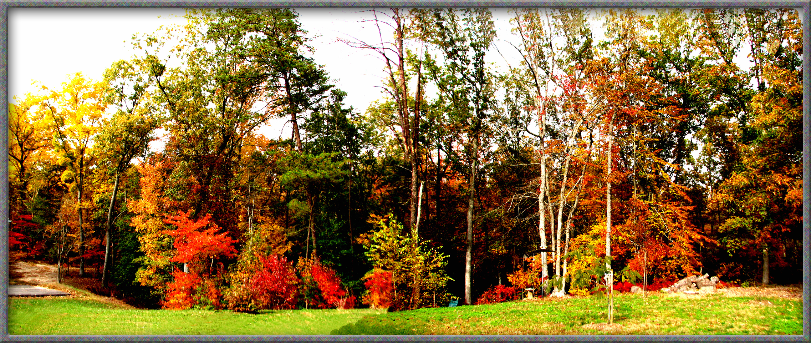
TREES IN AUTUMN IN ALL THEIR COLOR
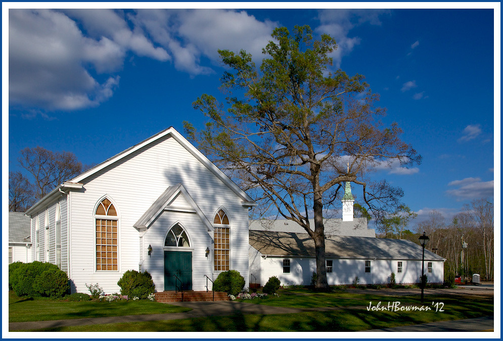
Bethlehem Presbyterian Church

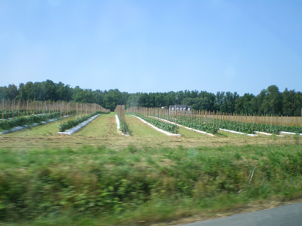
Shrouded in veggies...

Party View

Crowd View

All Is Safe

Zoar State Forrest, Aylett, Va.

Mattaponi River - Aylett, King William County, VA.

Virginia Sunset - Hanover County, VA

Children of the winter wheat
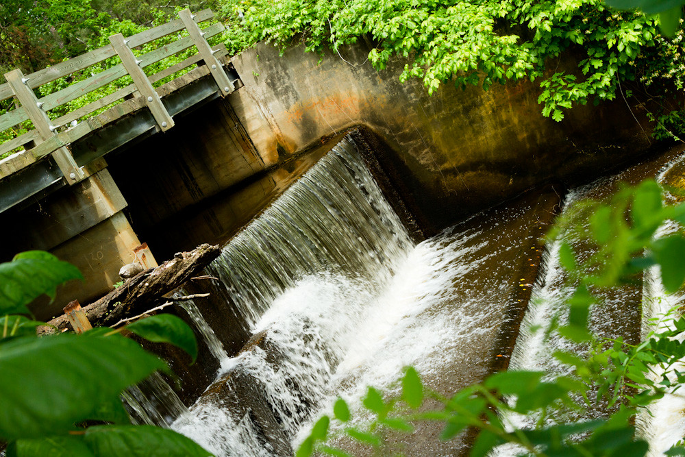
Spillway in Walkerton Va.
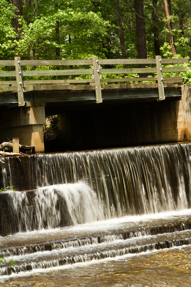
Spillway in Walkerton Va.
My Backyard
Purple Clematis
My Backyard
Mounquin Creek
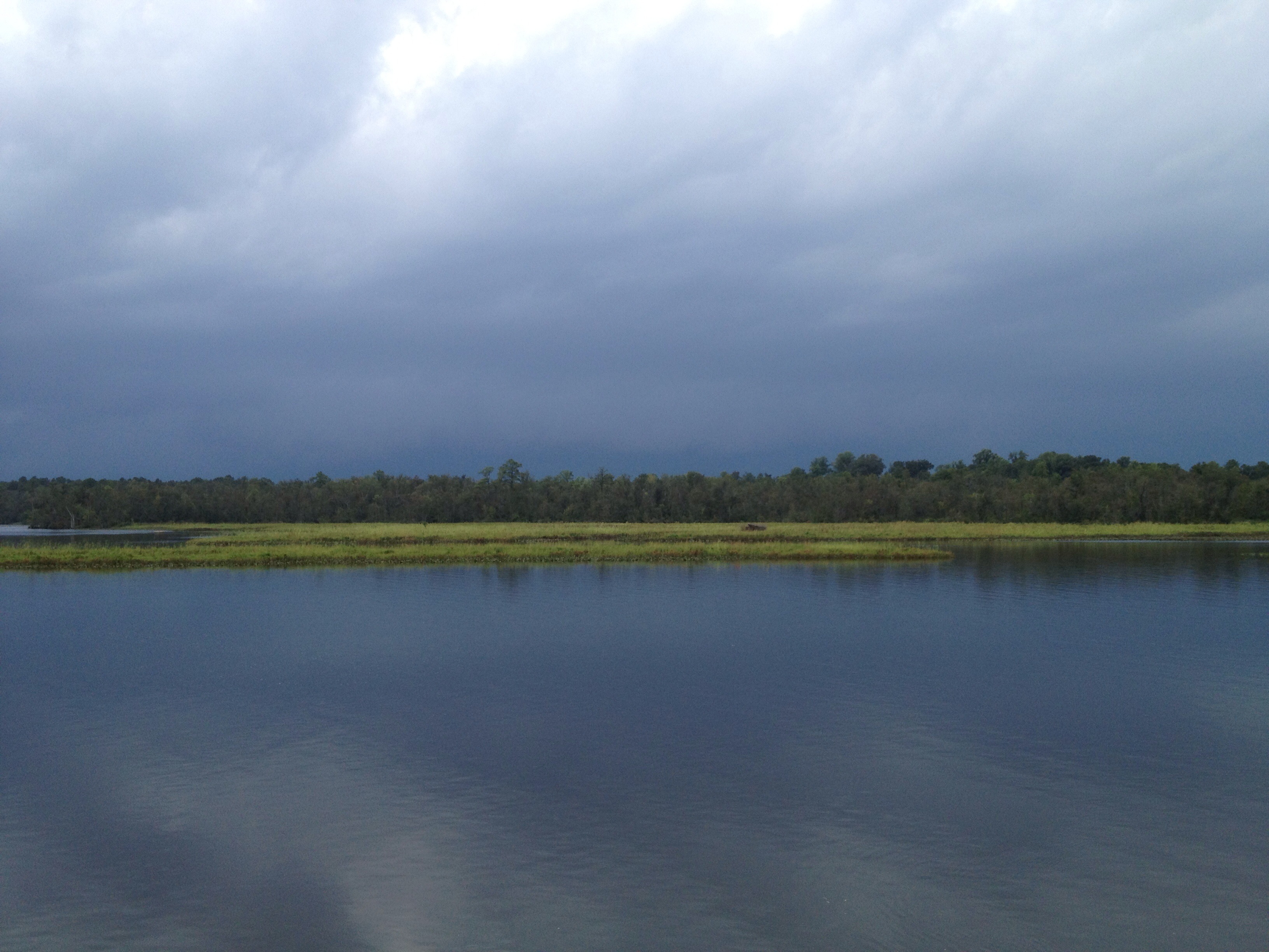
This storm is doing more than just threatening...
countryside-606-06-20-2013_0005

Mounquin Creek
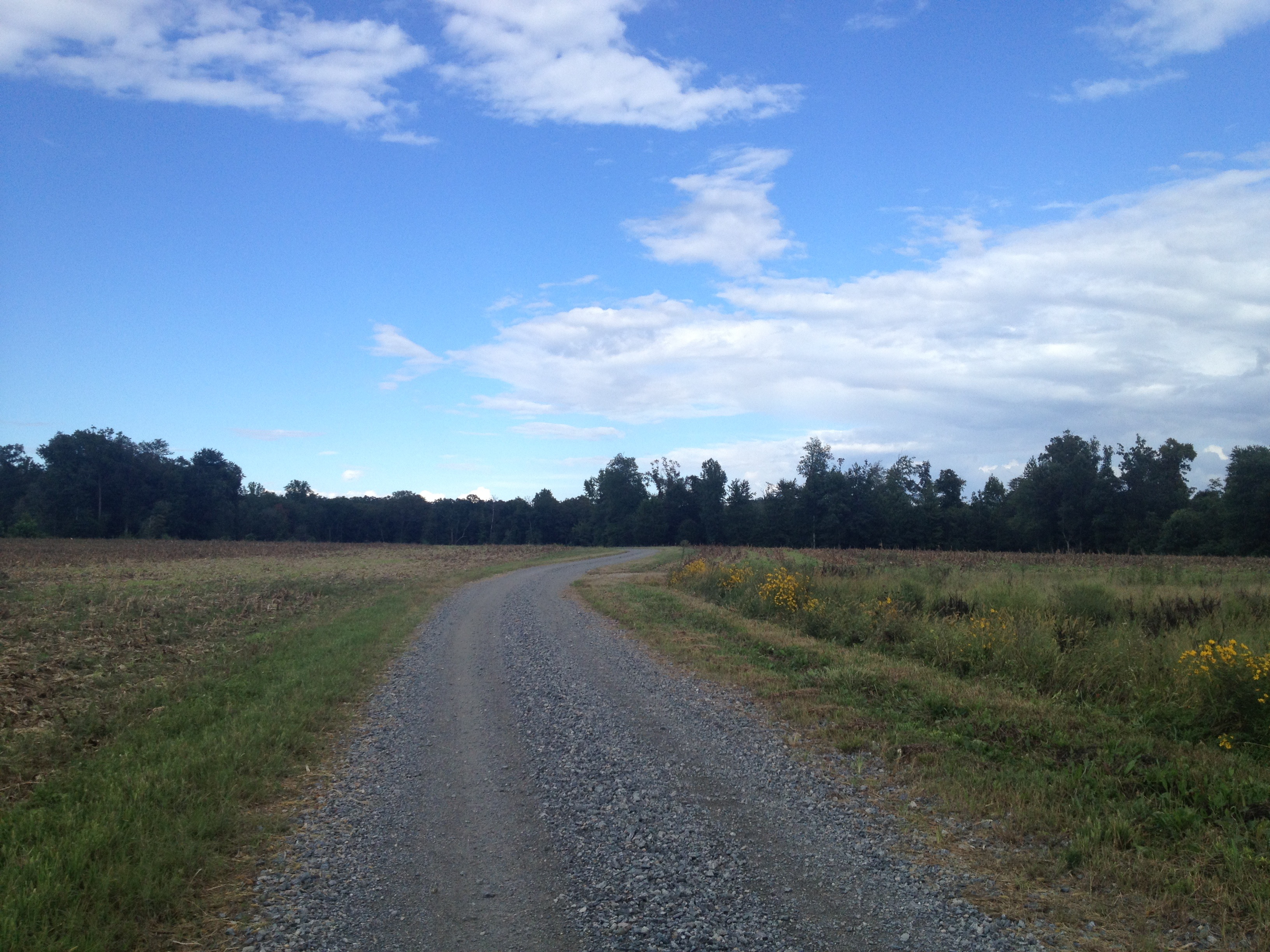
another week passes...Duck Pond Road...
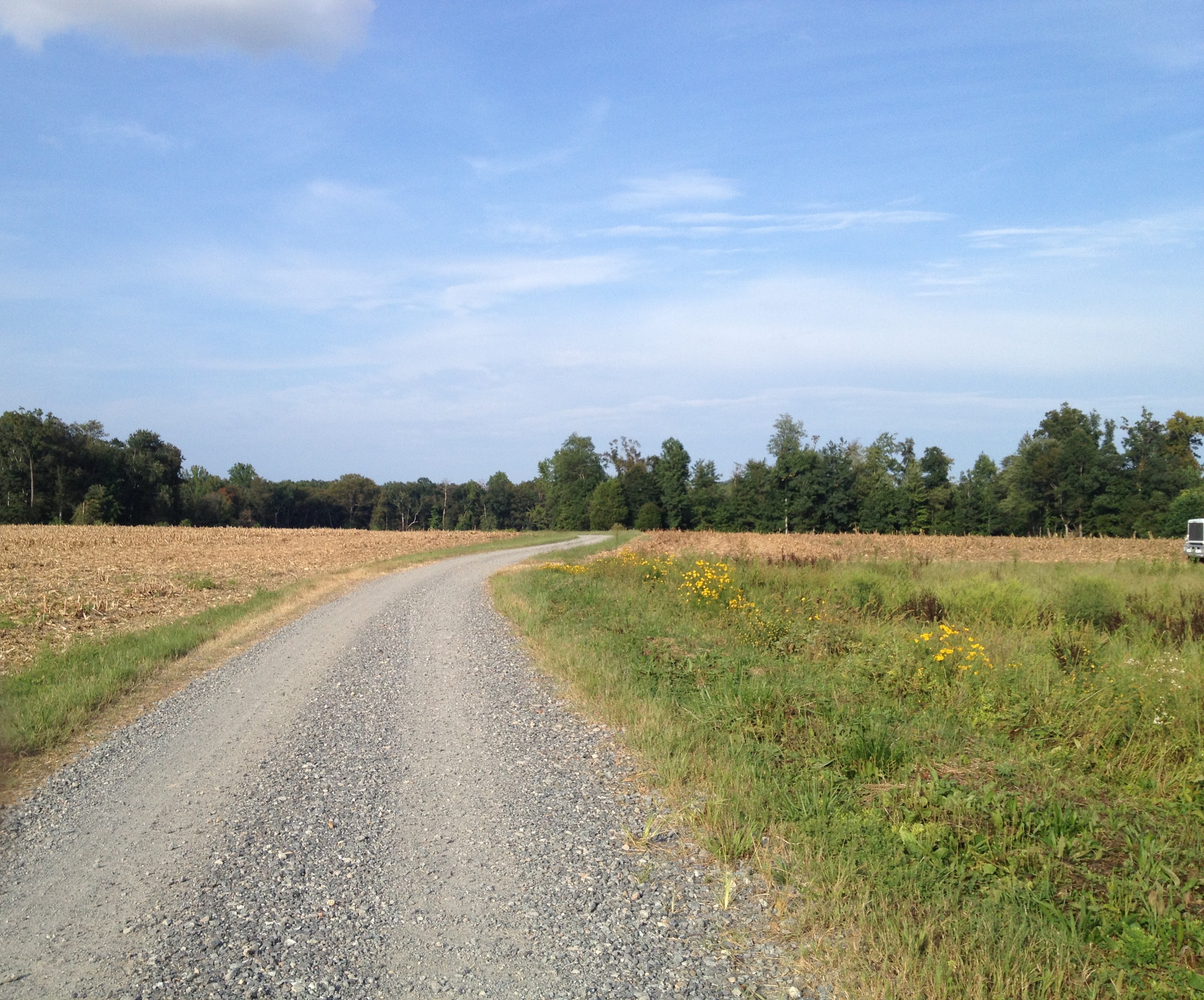
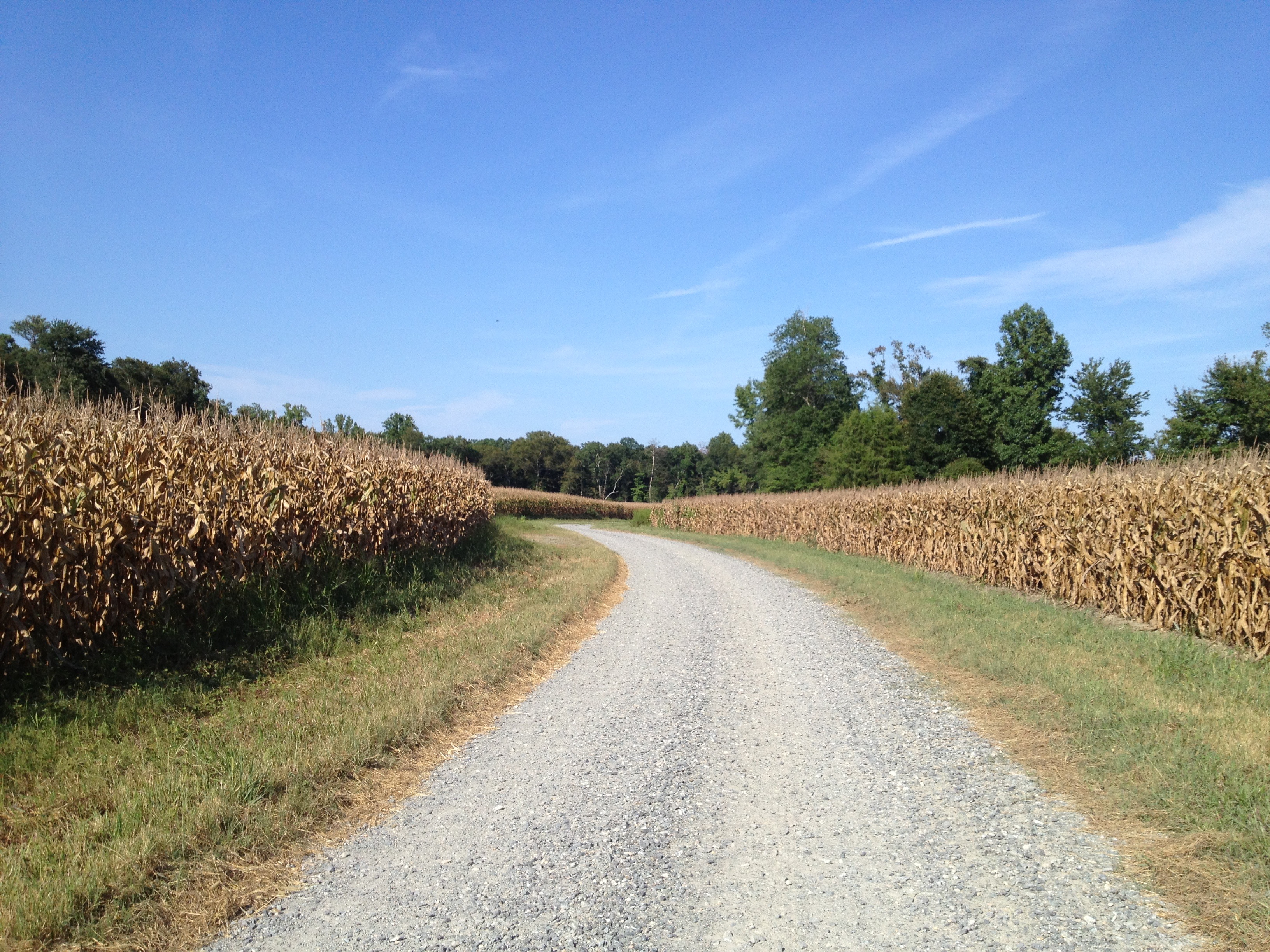
Duck Pond Road...another week gone...as is the corn...

Duck Pond Road a week later...they are picking the corn..,
Duck Pond Road...pre happy hour ride...
Topographic Map of Rosebud Run, Aylett, VA, USA
Find elevation by address:

Places near Rosebud Run, Aylett, VA, USA:
Venter Rd, Aylett, VA, USA
King William County
Acquinton
Aylett
1241 Manfield Rd
44 Popular Landing Rd, Aylett, VA, USA
107 Ayletts Mill Dr
Manquin
Richmond Tappahannock Hwy, Manquin, VA, USA
Blue Sky
Pampatike Rd, King William, VA, USA
Pamunkey River Bridge
Hollyfield Lane
71 Etna Mills Rd, Manquin, VA, USA
North Point Farm Rd, King William, VA, USA
Pamunkey Crest Dr, Mechanicsville, VA, USA
Old Church Rd, Mechanicsville, VA, USA
Nelsons Bridge Rd, Hanover, VA, USA
Courthouse Road
King William
Recent Searches:
- Elevation of East W.T. Harris Boulevard, E W.T. Harris Blvd, Charlotte, NC, USA
- Elevation of West Sugar Creek, Charlotte, NC, USA
- Elevation of Wayland, NY, USA
- Elevation of Steadfast Ct, Daphne, AL, USA
- Elevation of Lagasgasan, X+CQH, Tiaong, Quezon, Philippines
- Elevation of Rojo Ct, Atascadero, CA, USA
- Elevation of Flagstaff Drive, Flagstaff Dr, North Carolina, USA
- Elevation of Avery Ln, Lakeland, FL, USA
- Elevation of Woolwine, VA, USA
- Elevation of Lumagwas Diversified Farmers Multi-Purpose Cooperative, Lumagwas, Adtuyon, RV32+MH7, Pangantucan, Bukidnon, Philippines