Elevation of Allens Cir, King and Queen Court House, VA, USA
Location: United States > Virginia >
Longitude: -76.877213
Latitude: 37.6704559
Elevation: 9m / 30feet
Barometric Pressure: 101KPa
Elevation Map:
Satellite Map:
Related Photos:
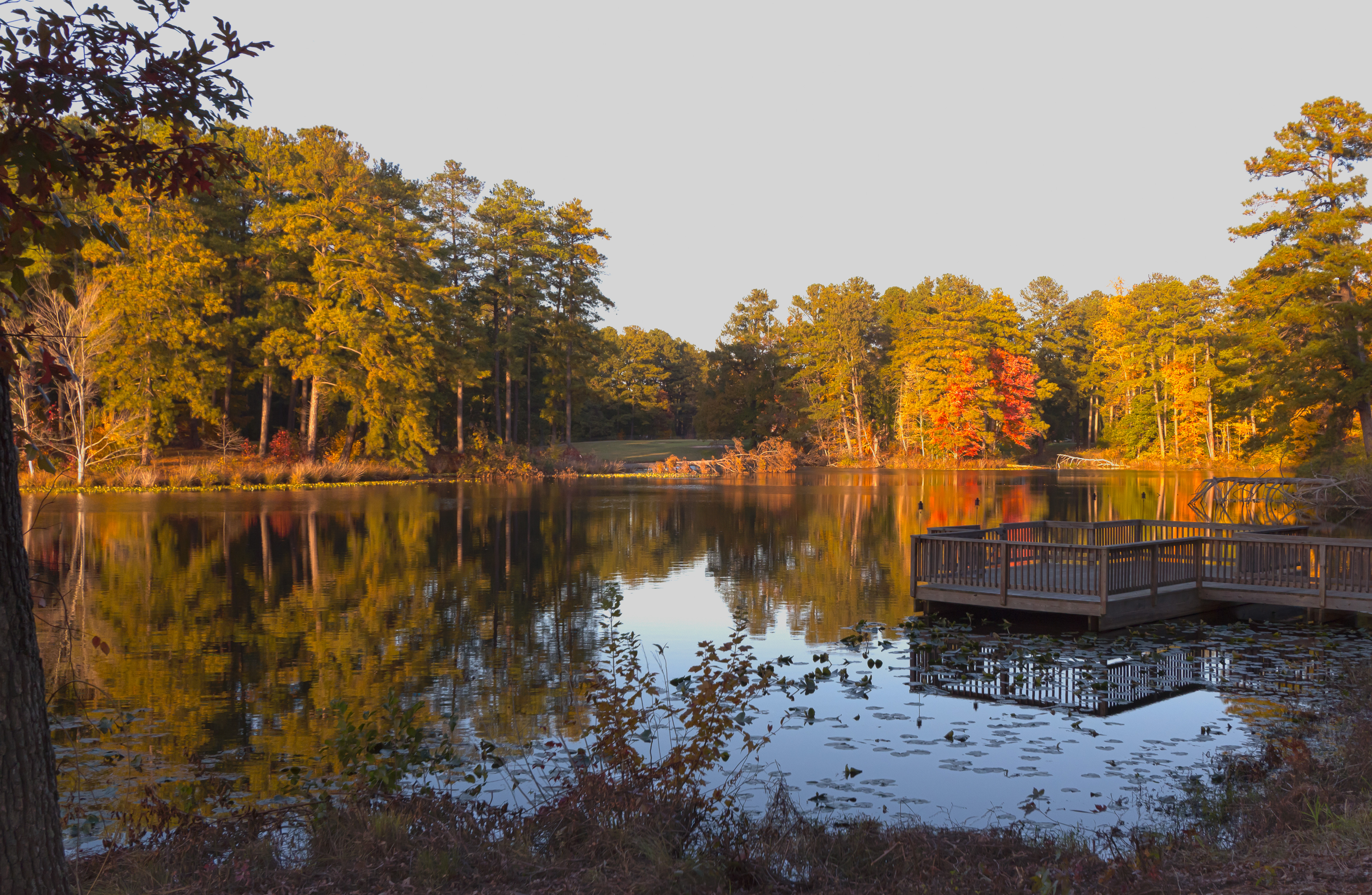
sunset on Olsson's pond1
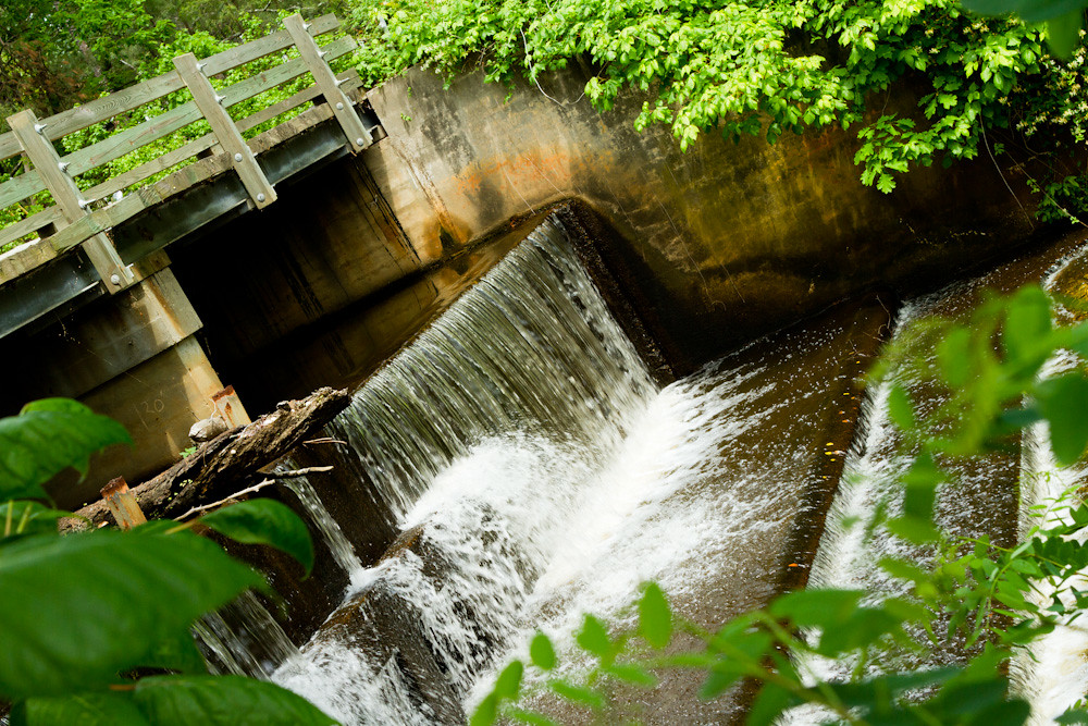
Spillway in Walkerton Va.
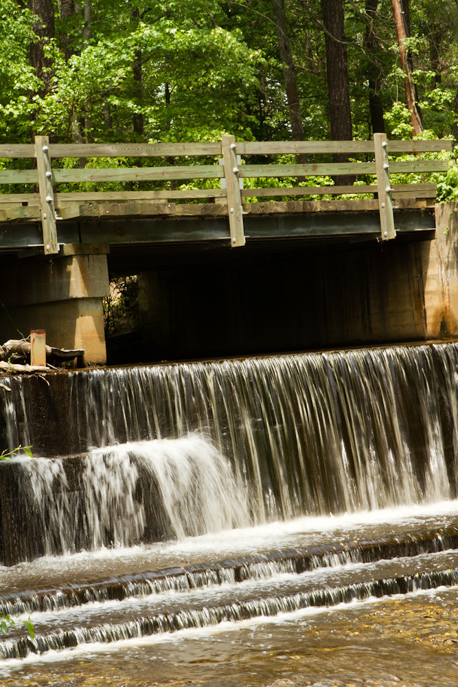
Spillway in Walkerton Va.

Duck Pond Road a week later...they are picking the corn..,
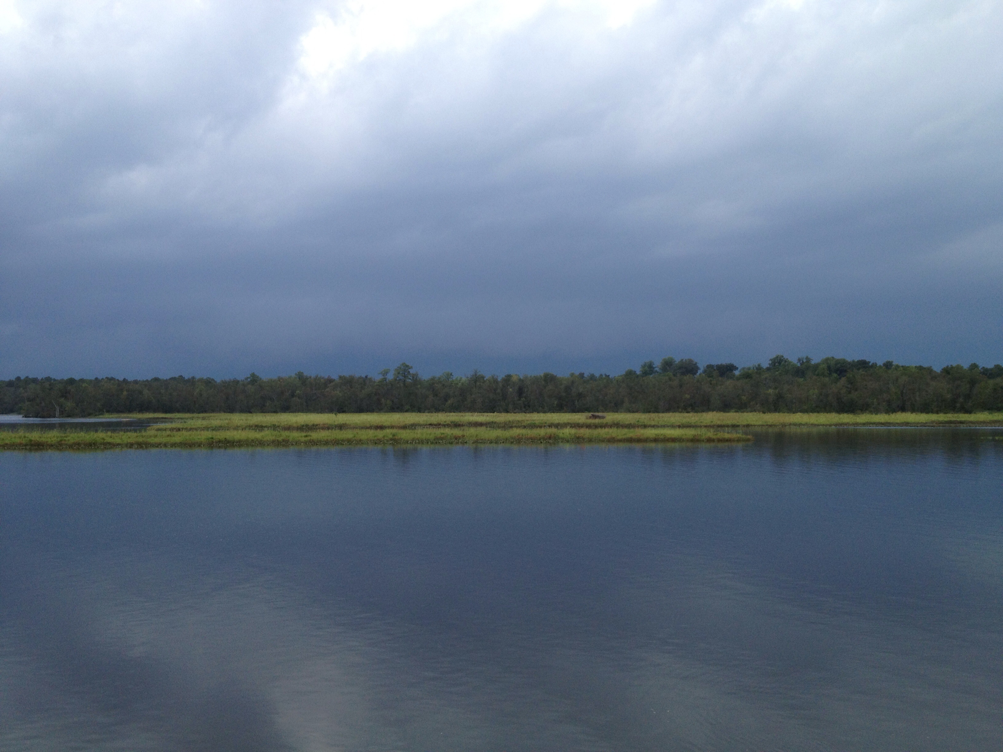
This storm is doing more than just threatening...
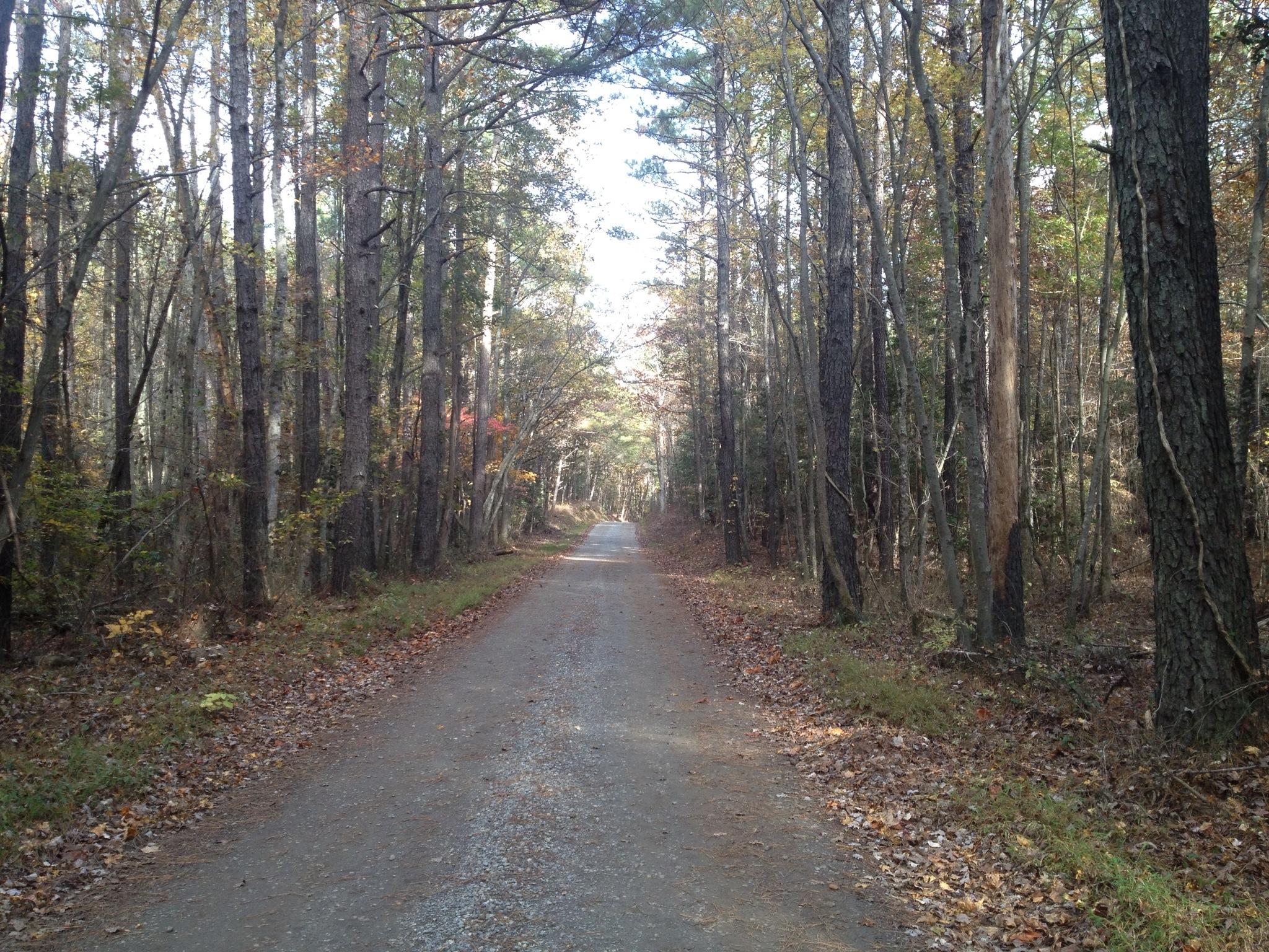
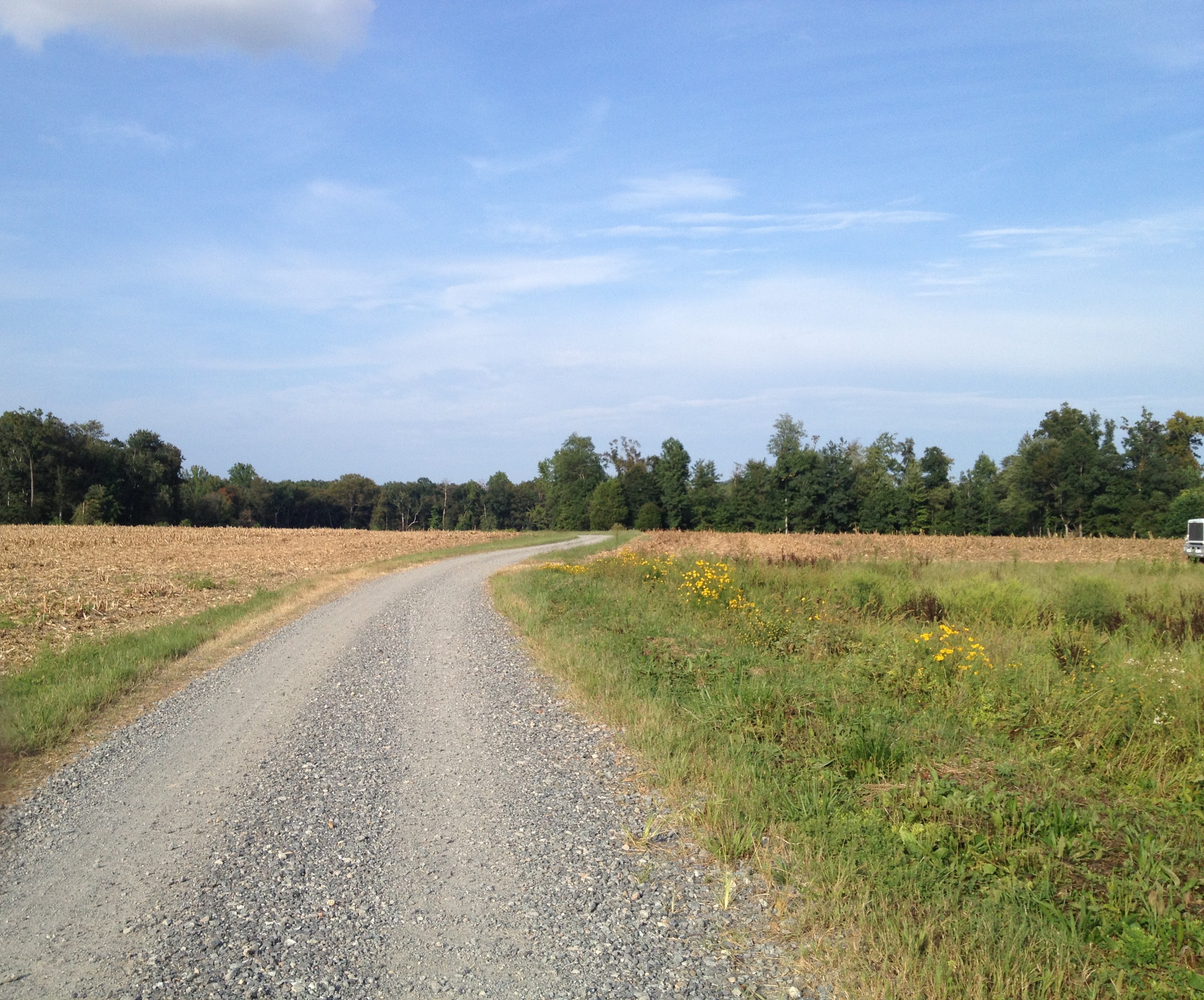
Truheart Road
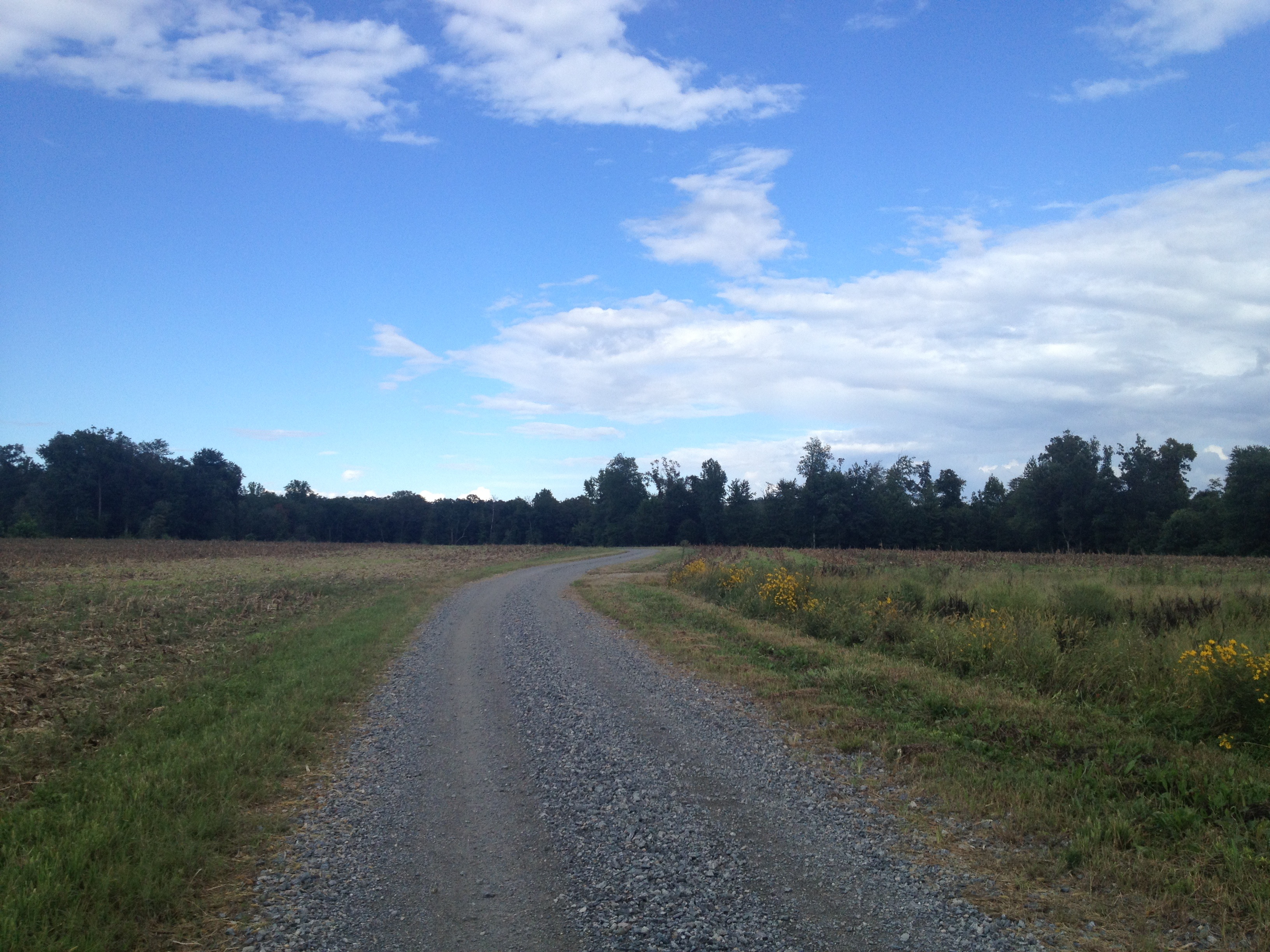
another week passes...Duck Pond Road...
Duck Pond Road...pre happy hour ride...
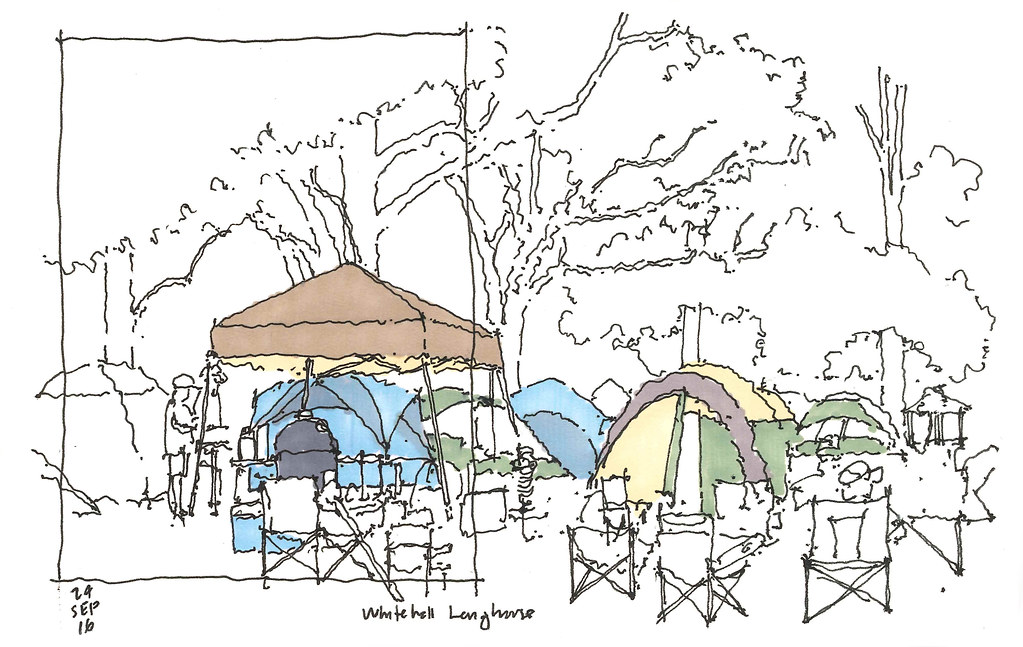
2016 09 24 Whitehall Longhouse
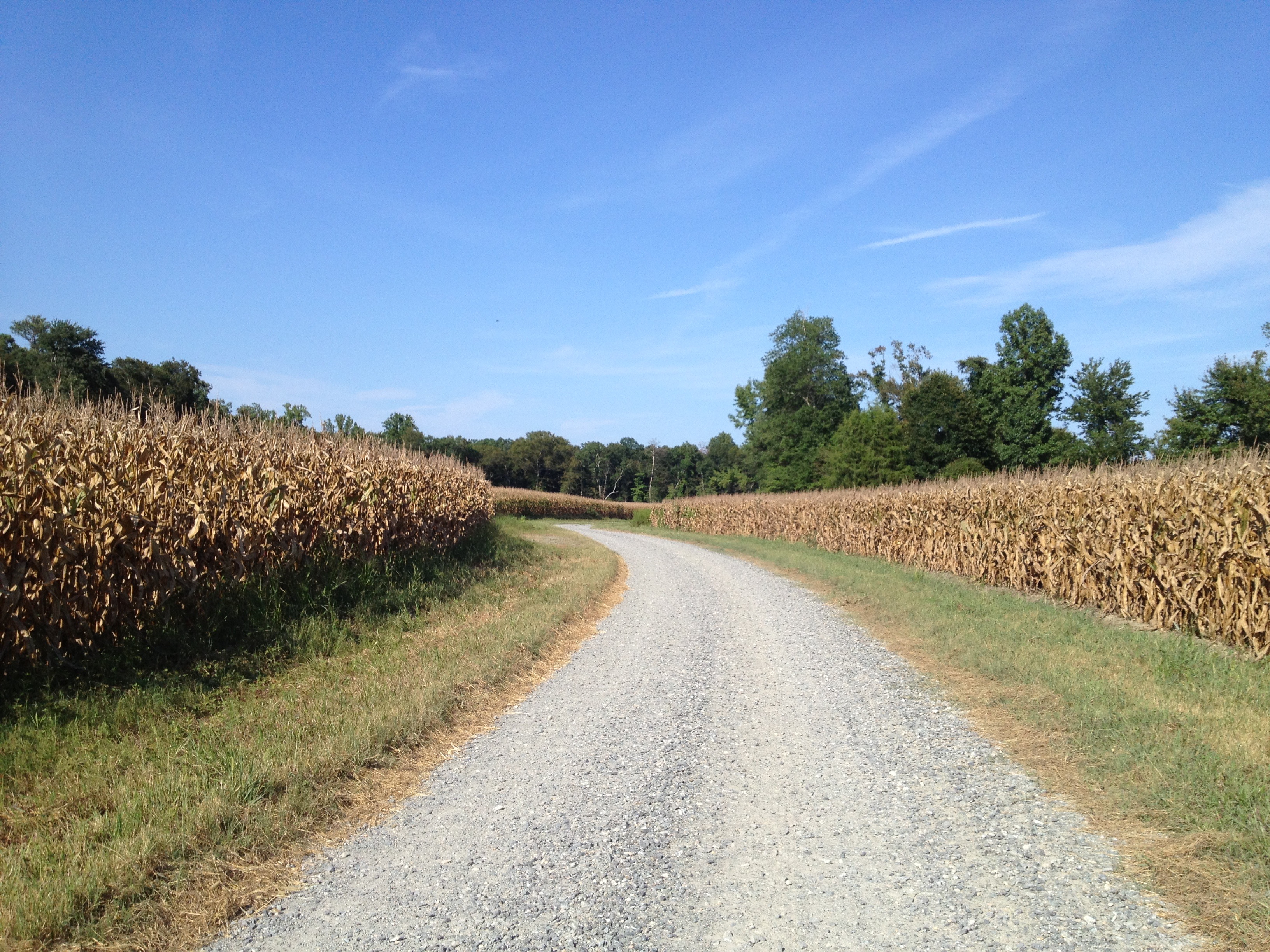
Duck Pond Road...another week gone...as is the corn...
Topographic Map of Allens Cir, King and Queen Court House, VA, USA
Find elevation by address:

Places near Allens Cir, King and Queen Court House, VA, USA:
1101 Pierce Ln
Pierce Lane
King And Queen County
West Point
Little Plymouth
515 Moorefield Rd
1365 Chelsea Rd
237 Moorefield Rd
1265 Moorefield Rd
1262 Moorefield Rd
Powhatan Trail, King William, VA, USA
Mt Olive Cohoke Rd, King William, VA, USA
Horse Landing Rd, King William, VA, USA
Riverview Rd, West Point, VA, USA
340 Euclid Blvd
2835 Mattaponi Ave
King William
Courthouse Road
2624 C St
1901 Main St
Recent Searches:
- Elevation of S Layton Cir W, Layton, UT, USA
- Elevation of F36W+3M, Mussoorie, Uttarakhand, India
- Elevation of Fairland Ave, Fairhope, AL, USA
- Elevation of Sunset Dr, Richmond, VA, USA
- Elevation of Grodna District, Hrodna Region, Belarus
- Elevation of Hrodna, Hrodna Region, Belarus
- Elevation of Sandia Derby Estates, Tijeras, NM, USA
- Elevation of 23 Sunrise View Ct, Tijeras, NM, USA
- Elevation of Lytham Ln, Katy, TX, USA
- Elevation of Tater Hill, Oklahoma, USA