Elevation of Keith Dr, Clifton, TN, USA
Location: United States > Tennessee > Wayne County > Clifton >
Longitude: -87.918972
Latitude: 35.450178
Elevation: -10000m / -32808feet
Barometric Pressure: 295KPa
Elevation Map:
Satellite Map:
Related Photos:

Halford's Gro.

Old docks from the Clifton Ferry

S. T. "Bud" Sharp's Store - Flat Woods, TN

Hufstedler Gravehouse - or Buried Standing Up...

S. T. "Bud" Sharp's Store - Flat Woods, TN

DSCF8839.jpg

FullSizeRender 196

FullSizeRender 197

Steel Nosed Mack - HTT!

USPS - Clifton, TN

Buck Fort Bottom
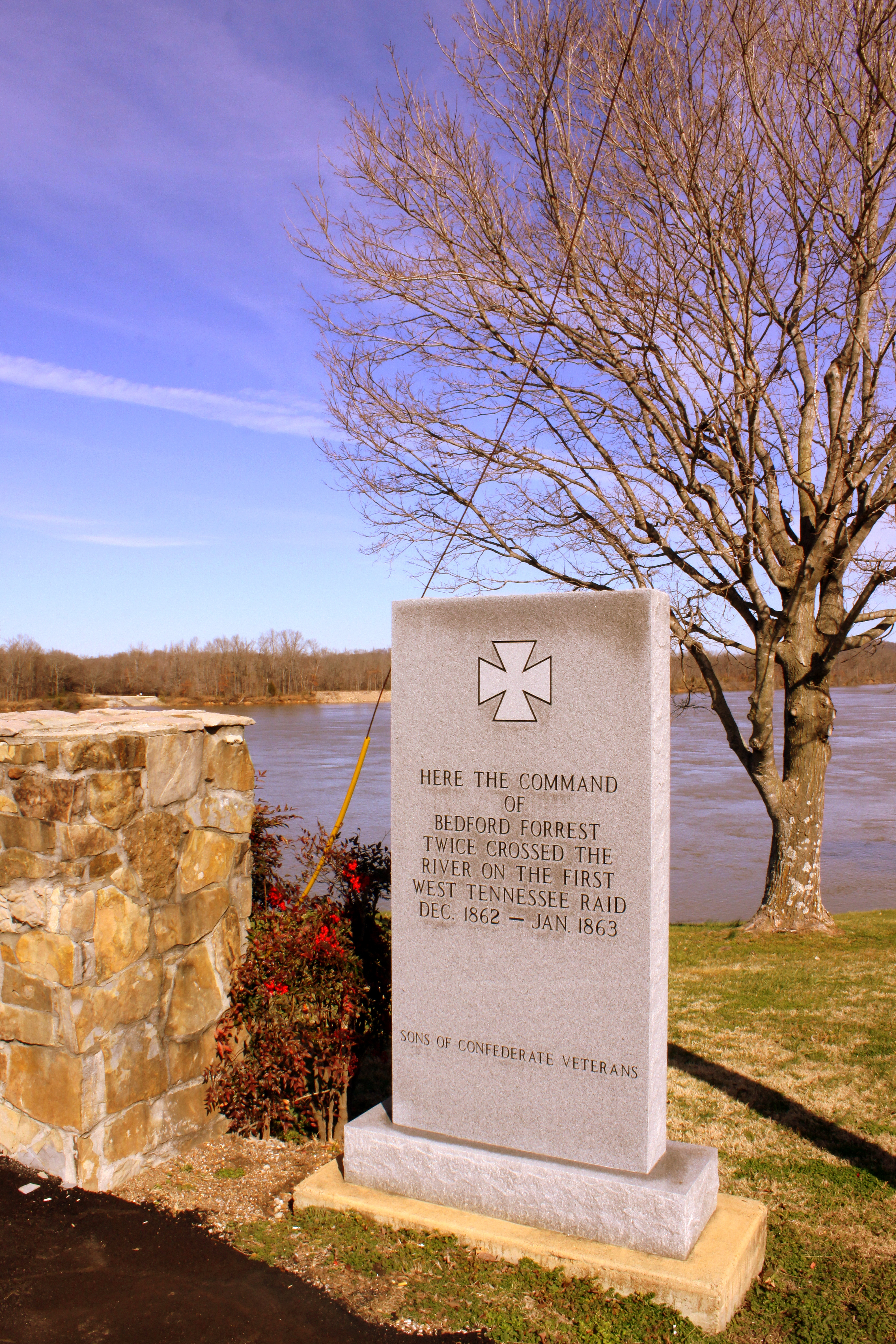
Where Forrest Crossed the Tennessee River

Neat house - Clifton, TN

Caution Uneven Historical Sidewalks

white's creek sunset

Chappell Memorial UMC

winding Tennessee backroads

GUY 1

Buffalo River

Goofball on the Buffalo River

Used to be a Rock City Barn
Topographic Map of Keith Dr, Clifton, TN, USA
Find elevation by address:

Places near Keith Dr, Clifton, TN, USA:
1351 Holman Rd
3116 Jeter Rd
Linden Hwy, Clifton, TN, USA
109 Tn River Estates Rd
Scenic Ln, Bath Springs, TN, USA
950 Scenic Ln
271 Creekside View Ln
East Water Street
401 E Water St
309 E Water St
305 E Water St
308 E Water St
301 E Water St
Clifton
Vine Street
555 Forrest Ave
113 Pawnee Cv
169 Younger Cemetery Ln
100 Cherokee Ln
48 Adam Loop
Recent Searches:
- Elevation of Foligno, Province of Perugia, Italy
- Elevation of Blauwestad, Netherlands
- Elevation of Bella Terra Blvd, Estero, FL, USA
- Elevation of Estates Loop, Priest River, ID, USA
- Elevation of Woodland Oak Pl, Thousand Oaks, CA, USA
- Elevation of Brownsdale Rd, Renfrew, PA, USA
- Elevation of Corcoran Ln, Suffolk, VA, USA
- Elevation of Mamala II, Sariaya, Quezon, Philippines
- Elevation of Sarangdanda, Nepal
- Elevation of 7 Waterfall Way, Tomball, TX, USA