Elevation of Jeter Rd, Clifton, TN, USA
Location: United States > Tennessee > Wayne County > Clifton >
Longitude: -87.94685
Latitude: 35.402808
Elevation: 131m / 430feet
Barometric Pressure: 100KPa
Elevation Map:
Satellite Map:
Related Photos:
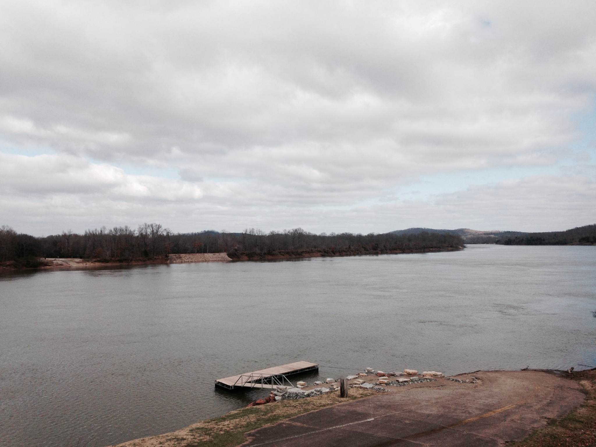
Old docks from the Clifton Ferry

S. T. "Bud" Sharp's Store - Flat Woods, TN

Steel Nosed Mack - HTT!

Old Bridge near Adamsville, TN

S. T. "Bud" Sharp's Store - Flat Woods, TN
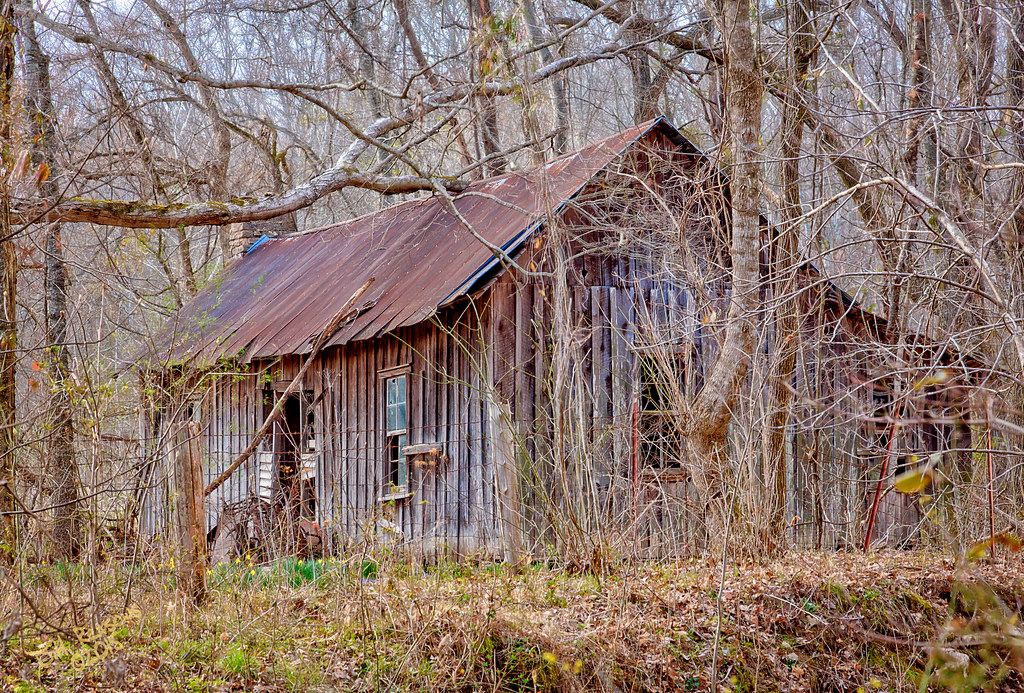
Cabin in the woods

USPS - Clifton, TN
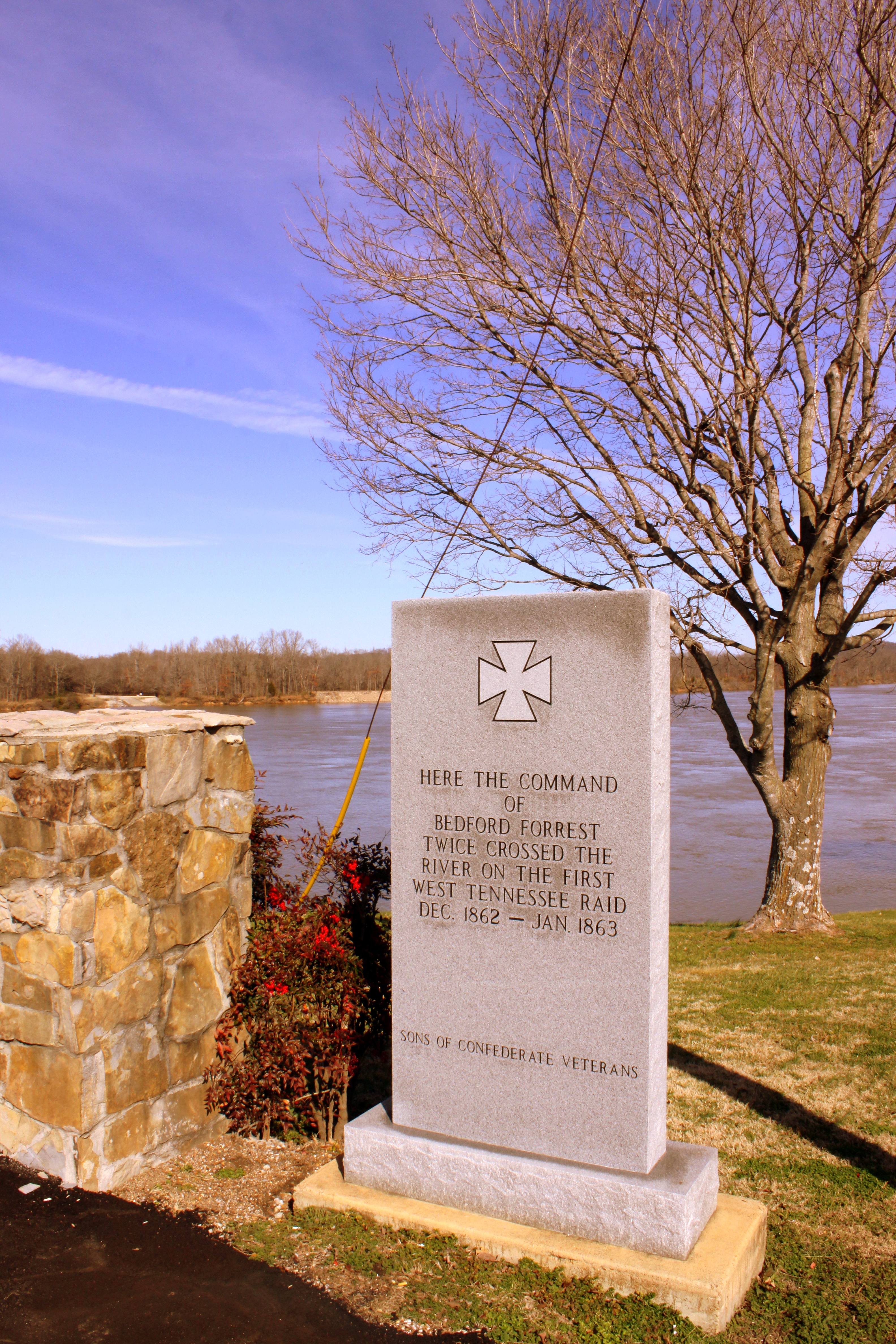
Where Forrest Crossed the Tennessee River

Neat house - Clifton, TN
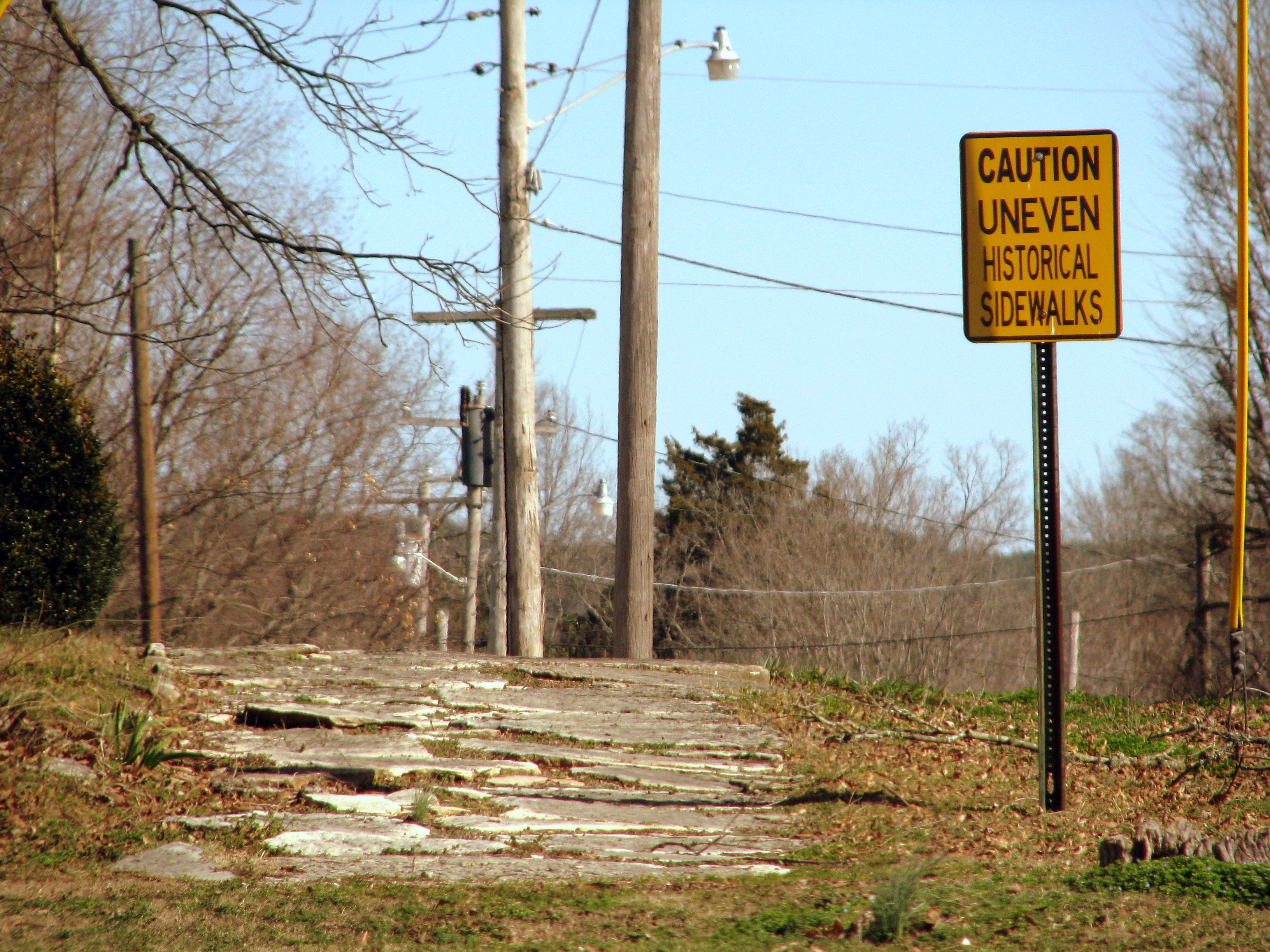
Caution Uneven Historical Sidewalks

white's creek sunset
Chappell Memorial UMC
Halford's Gro.

GUY 1
Buffalo River
Used to be a Rock City Barn
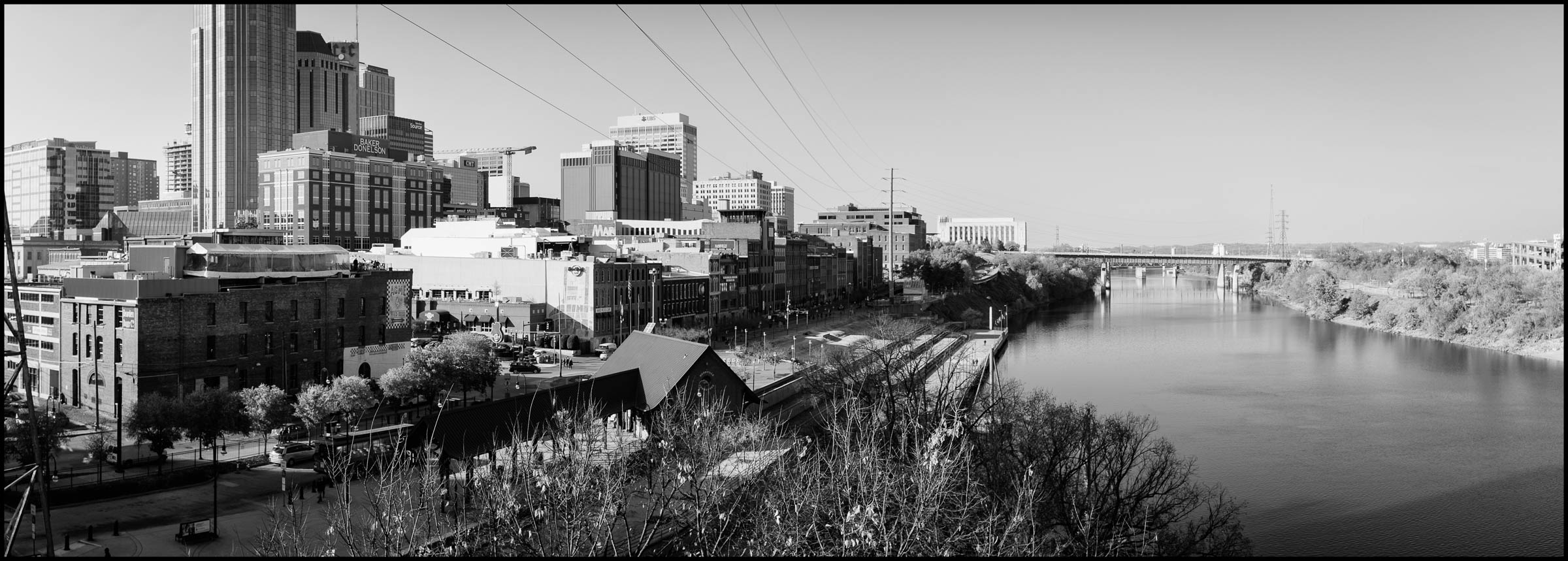
DSCF8848-Pano v1.jpg

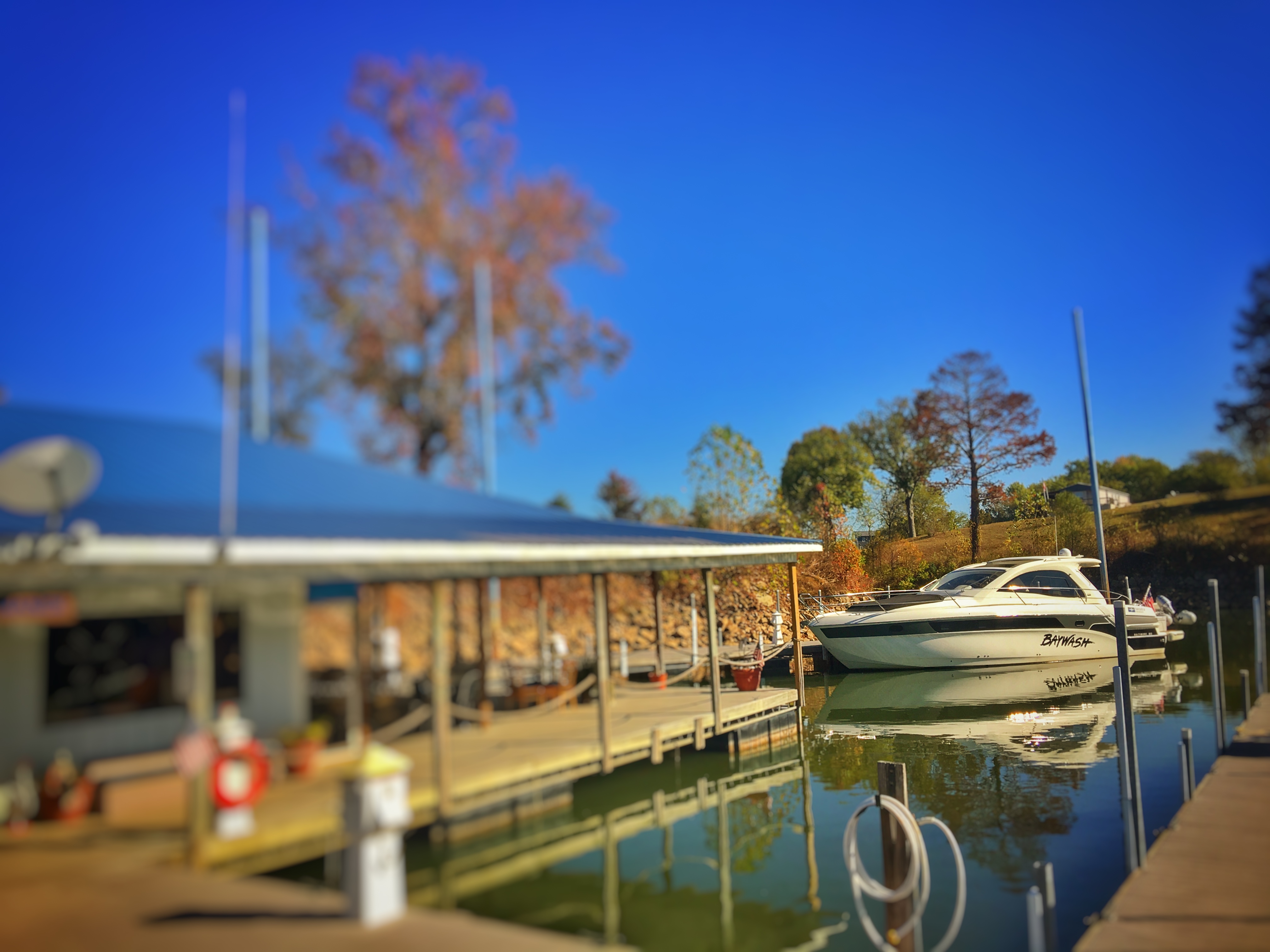
DSCF8843.jpg

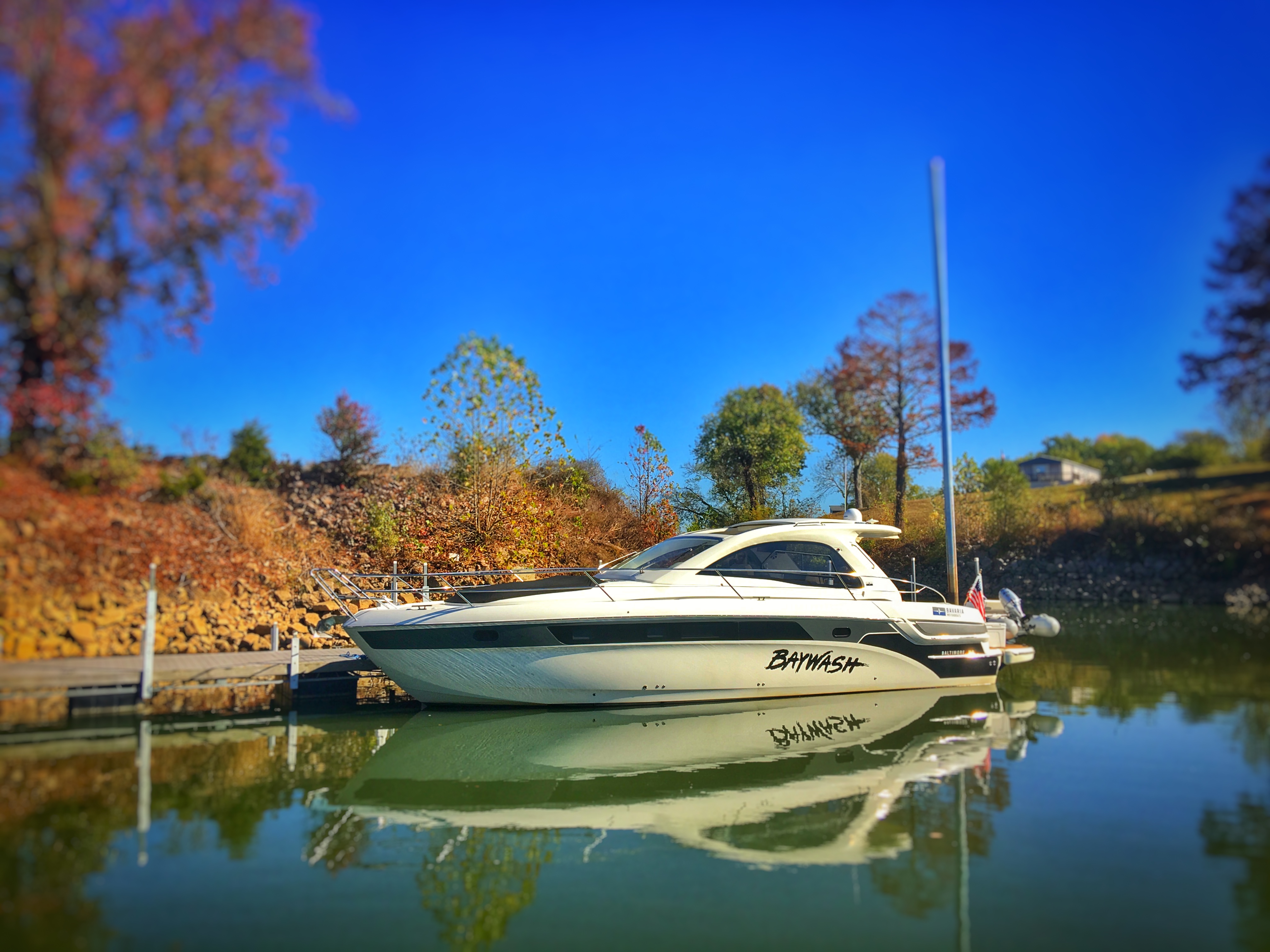
DSCF8839.jpg
FullSizeRender 196
FullSizeRender 197
Topographic Map of Jeter Rd, Clifton, TN, USA
Find elevation by address:

Places near Jeter Rd, Clifton, TN, USA:
Linden Hwy, Clifton, TN, USA
East Water Street
401 E Water St
309 E Water St
305 E Water St
308 E Water St
301 E Water St
Clifton
950 Scenic Ln
Scenic Ln, Bath Springs, TN, USA
109 Tn River Estates Rd
1399 Keith Dr
Vine Street
555 Forrest Ave
169 Younger Cemetery Ln
1351 Holman Rd
48 Adam Loop
271 Creekside View Ln
113 Pawnee Cv
100 Cherokee Ln
Recent Searches:
- Elevation of Lampiasi St, Sarasota, FL, USA
- Elevation of Elwyn Dr, Roanoke Rapids, NC, USA
- Elevation of Congressional Dr, Stevensville, MD, USA
- Elevation of Bellview Rd, McLean, VA, USA
- Elevation of Stage Island Rd, Chatham, MA, USA
- Elevation of Shibuya Scramble Crossing, 21 Udagawacho, Shibuya City, Tokyo -, Japan
- Elevation of Jadagoniai, Kaunas District Municipality, Lithuania
- Elevation of Pagonija rock, Kranto 7-oji g. 8"N, Kaunas, Lithuania
- Elevation of Co Rd 87, Jamestown, CO, USA
- Elevation of Tenjo, Cundinamarca, Colombia