Elevation of East Water Street, E Water St, Clifton, TN, USA
Location: United States > Tennessee > Wayne County > Clifton >
Longitude: -87.987033
Latitude: 35.3893295
Elevation: 115m / 377feet
Barometric Pressure: 100KPa
Elevation Map:
Satellite Map:
Related Photos:
DSCF8848-Pano v1.jpg

DSCF8843.jpg

DSCF8839.jpg
FullSizeRender 196

FullSizeRender 205

Steel Nosed Mack - HTT!

Halford Gro.
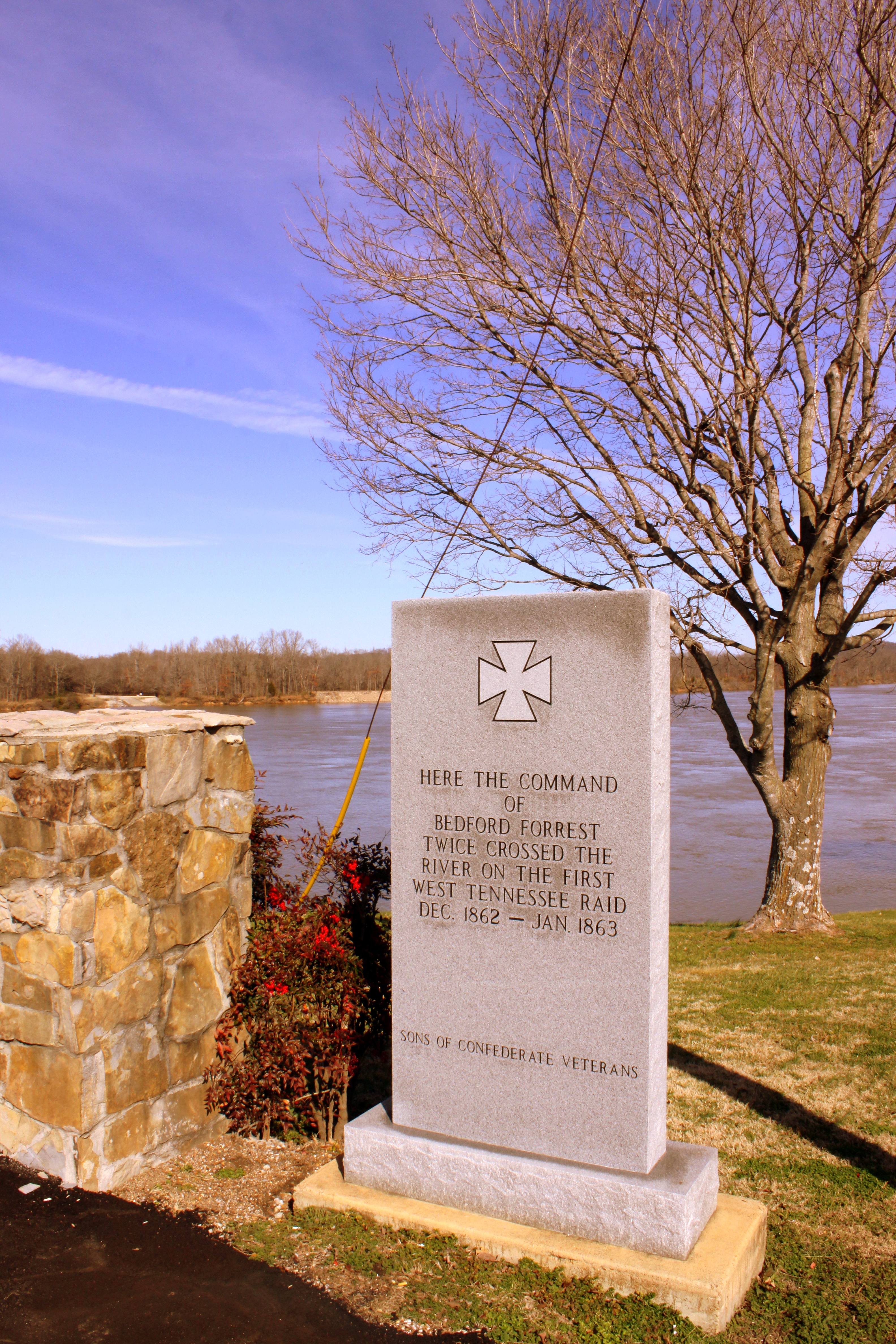
Where Forrest Crossed the Tennessee River

Neat house - Clifton, TN

Old Bridge near Adamsville, TN

USPS - Clifton, TN

Halford's Grocery

white's creek sunset

GUY 1
Buffalo River
Topographic Map of East Water Street, E Water St, Clifton, TN, USA
Find elevation by address:

Places near East Water Street, E Water St, Clifton, TN, USA:
401 E Water St
309 E Water St
305 E Water St
308 E Water St
301 E Water St
Clifton
Vine Street
555 Forrest Ave
950 Scenic Ln
Scenic Ln, Bath Springs, TN, USA
Linden Hwy, Clifton, TN, USA
3116 Jeter Rd
109 Tn River Estates Rd
169 Younger Cemetery Ln
48 Adam Loop
113 Pawnee Cv
100 Cherokee Ln
Kaw-liga Lane
Sioux Drive
Eagle Nest Landing
Recent Searches:
- Elevation of Općina Šodolovci, Croatia
- Elevation of Šodolovci, Croatia
- Elevation of Old Clairton Rd, Jefferson Hills, PA, USA
- Elevation of st Ave SE, Lisbon, ND, USA
- Elevation of Steamboat Island Road Northwest, Olympia, WA, USA
- Elevation of Kootenai Trail Rd, Bonners Ferry, ID, USA
- Elevation of Hickory Blvd, Bonita Springs, FL, USA
- Elevation of Lalagbene, Bayelsa, Nigeria
- Elevation of Ogbosuware Health Centre, 2WWJ+4PJ, Lalagbene, Bayelsa, Nigeria
- Elevation of Duckhorn Ct, Las Vegas, NV, USA