Elevation of Eagle Nest Landing, Tennessee, USA
Location: United States > Tennessee > Decatur County > Bath Springs >
Longitude: -88.068507
Latitude: 35.4292265
Elevation: 169m / 554feet
Barometric Pressure: 99KPa
Elevation Map:
Satellite Map:
Related Photos:
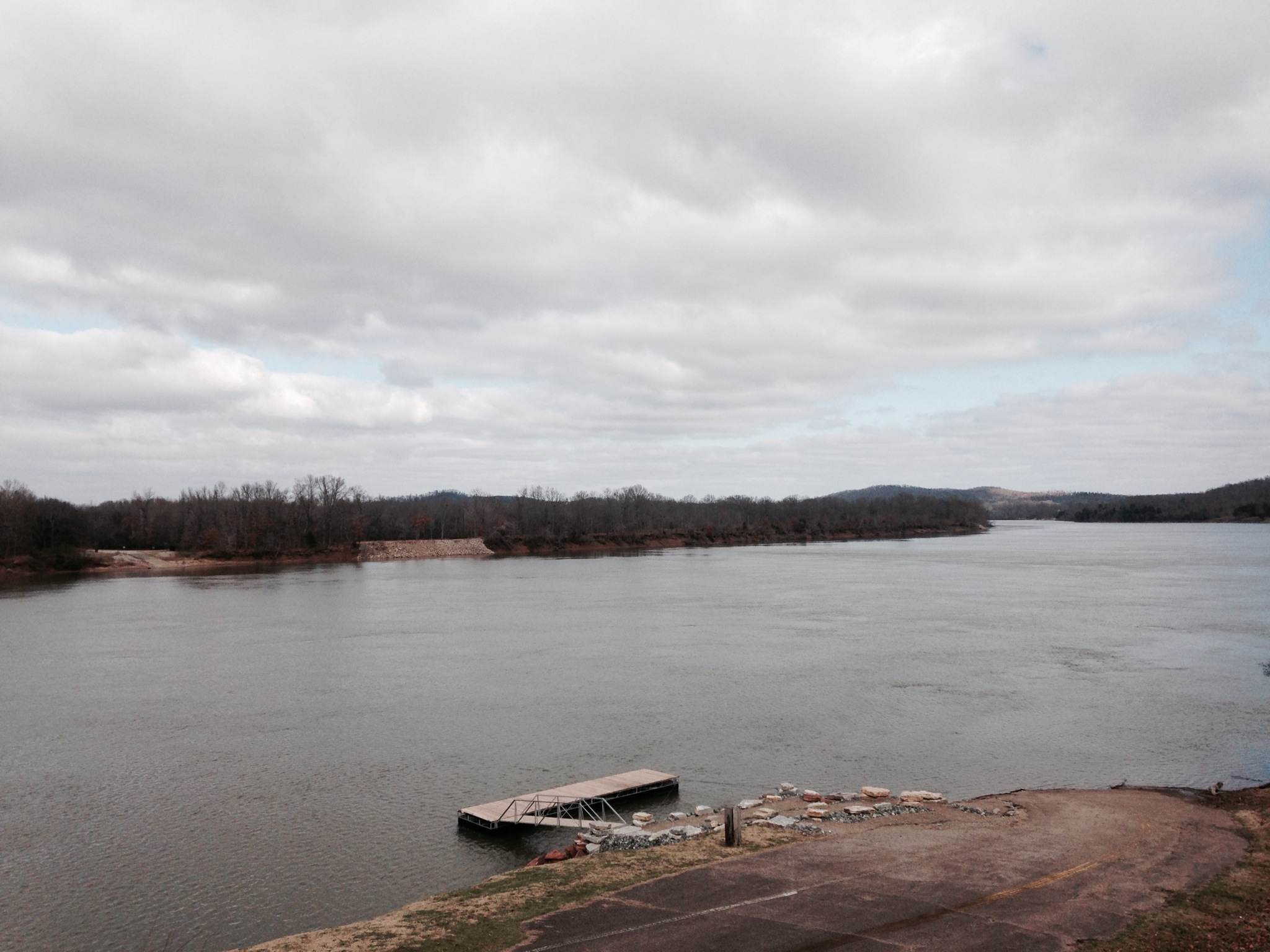
Old docks from the Clifton Ferry

USPS - Clifton, TN

Neat house - Clifton, TN

DSCF8843.jpg

DSCF8839.jpg

FullSizeRender 196
Topographic Map of Eagle Nest Landing, Tennessee, USA
Find elevation by address:

Places near Eagle Nest Landing, Tennessee, USA:
Kaw-liga Lane
Bath Springs
100 Cherokee Ln
Sioux Drive
113 Pawnee Cv
48 Adam Loop
5897 Tn-69
Bob's Landing Road
Scenic Ln, Bath Springs, TN, USA
950 Scenic Ln
109 Tn River Estates Rd
7198 Tn-69
Vine Street
Clifton
301 E Water St
305 E Water St
309 E Water St
308 E Water St
401 E Water St
East Water Street
Recent Searches:
- Elevation of Općina Šodolovci, Croatia
- Elevation of Šodolovci, Croatia
- Elevation of Old Clairton Rd, Jefferson Hills, PA, USA
- Elevation of st Ave SE, Lisbon, ND, USA
- Elevation of Steamboat Island Road Northwest, Olympia, WA, USA
- Elevation of Kootenai Trail Rd, Bonners Ferry, ID, USA
- Elevation of Hickory Blvd, Bonita Springs, FL, USA
- Elevation of Lalagbene, Bayelsa, Nigeria
- Elevation of Ogbosuware Health Centre, 2WWJ+4PJ, Lalagbene, Bayelsa, Nigeria
- Elevation of Duckhorn Ct, Las Vegas, NV, USA