Elevation of Wayne County, TN, USA
Location: United States > Tennessee >
Longitude: -87.776333
Latitude: 35.282369
Elevation: 251m / 823feet
Barometric Pressure: 98KPa
Elevation Map:
Satellite Map:
Related Photos:

Creek View Store

Glenbrook Creek

Glenbrook Reststop on Natchez Trace

Found a nice spot to stretch my legs off of the Natchez Trace on my way back into town today.

IMG_0130_1_2_3_4-L-m

2014 March 11 Traveling to and from Waynesboro Tn

2014 March 11 Traveling to and from Waynesboro Tn

2014 March 11 Traveling to and from Waynesboro Tn
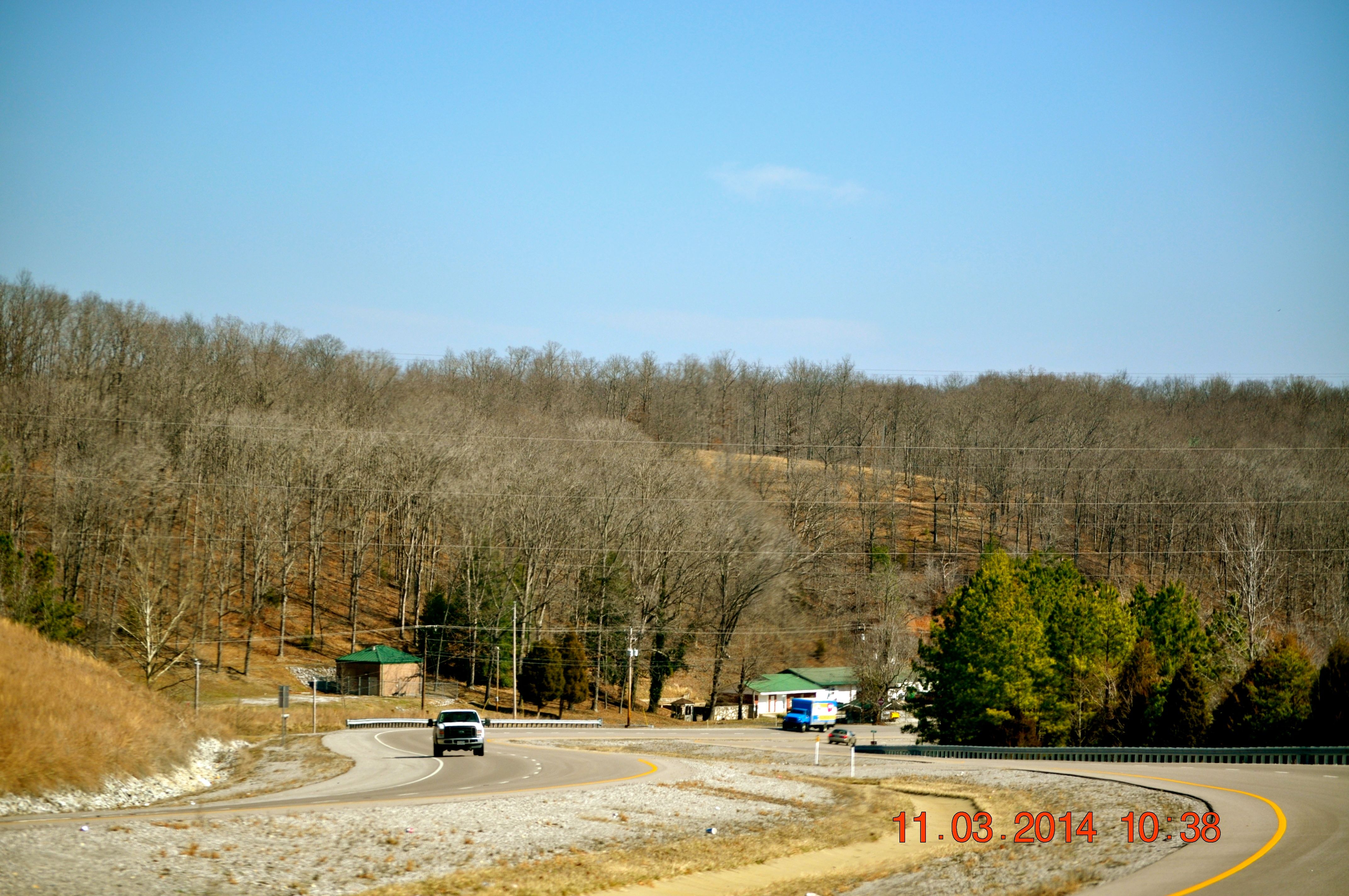
2014 March 11 Traveling to and from Waynesboro Tn

2014 March 11 Traveling to and from Waynesboro Tn

2014 March 11 Traveling to and from Waynesboro Tn

Waynesboro Tennessee
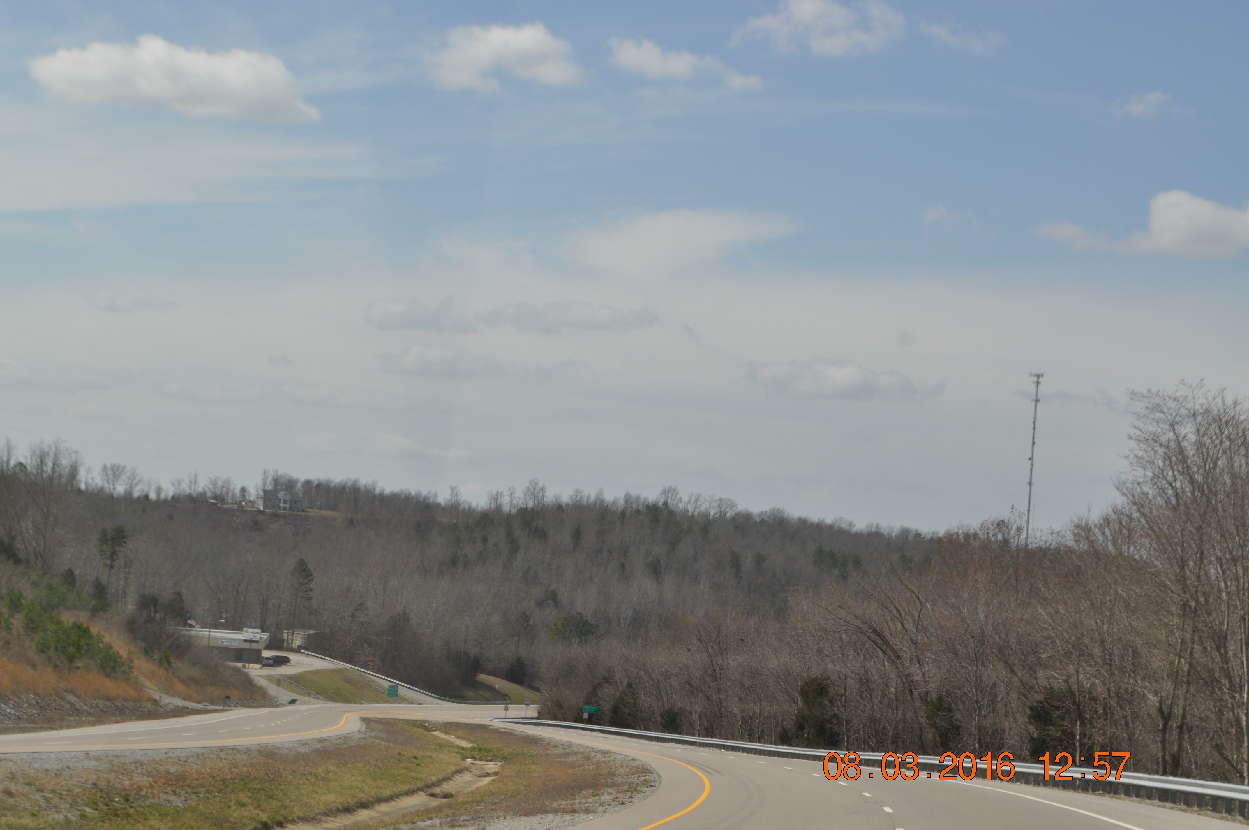
Waynesboro Tennessee
Topographic Map of Wayne County, TN, USA
Find elevation by address:

Places in Wayne County, TN, USA:
Places near Wayne County, TN, USA:
Waynesboro
Banjo Branch Rd, Waynesboro, TN, USA
1297 Savannah Hwy
Hurricane Creek
434 Faye Dr
539 Waynesboro Hwy
Lay Hollow Road
2535 Mt Hope Rd
116 Pierce Ln
106 Shady Oak Dr
Collinwood
4499 Fortyeight Creek Rd
1901 Moccasin Creek Rd
Natural Bridge Road
Topsy
299 Natural Bridge Park Rd
Flatwoods
425 Abrams Rd
3116 Jeter Rd
1351 Holman Rd
Recent Searches:
- Elevation of Corso Fratelli Cairoli, 35, Macerata MC, Italy
- Elevation of Tallevast Rd, Sarasota, FL, USA
- Elevation of 4th St E, Sonoma, CA, USA
- Elevation of Black Hollow Rd, Pennsdale, PA, USA
- Elevation of Oakland Ave, Williamsport, PA, USA
- Elevation of Pedrógão Grande, Portugal
- Elevation of Klee Dr, Martinsburg, WV, USA
- Elevation of Via Roma, Pieranica CR, Italy
- Elevation of Tavkvetili Mountain, Georgia
- Elevation of Hartfords Bluff Cir, Mt Pleasant, SC, USA