Elevation of Shady Oak Dr, Collinwood, TN, USA
Location: United States > Tennessee > Wayne County > Collinwood >
Longitude: -87.733506
Latitude: 35.18154
Elevation: 311m / 1020feet
Barometric Pressure: 98KPa
Elevation Map:
Satellite Map:
Related Photos:

Creek View Store
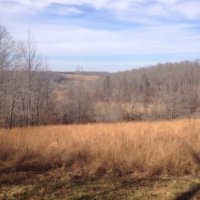
Nothing beats this view right here. #countrygirl #myphotos

My view this morning. Cooking breakfast.
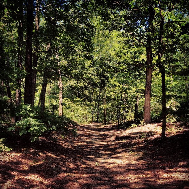
Found a nice spot to stretch my legs off of the Natchez Trace on my way back into town today.

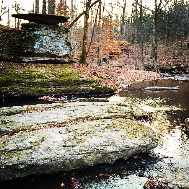
Glenbrook Creek

Glenbrook Reststop on Natchez Trace

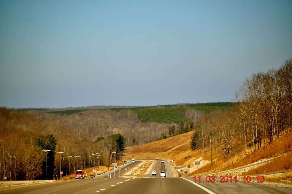
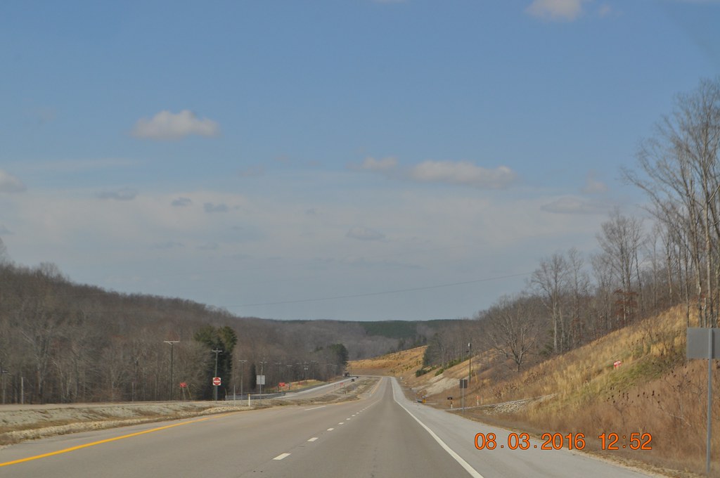
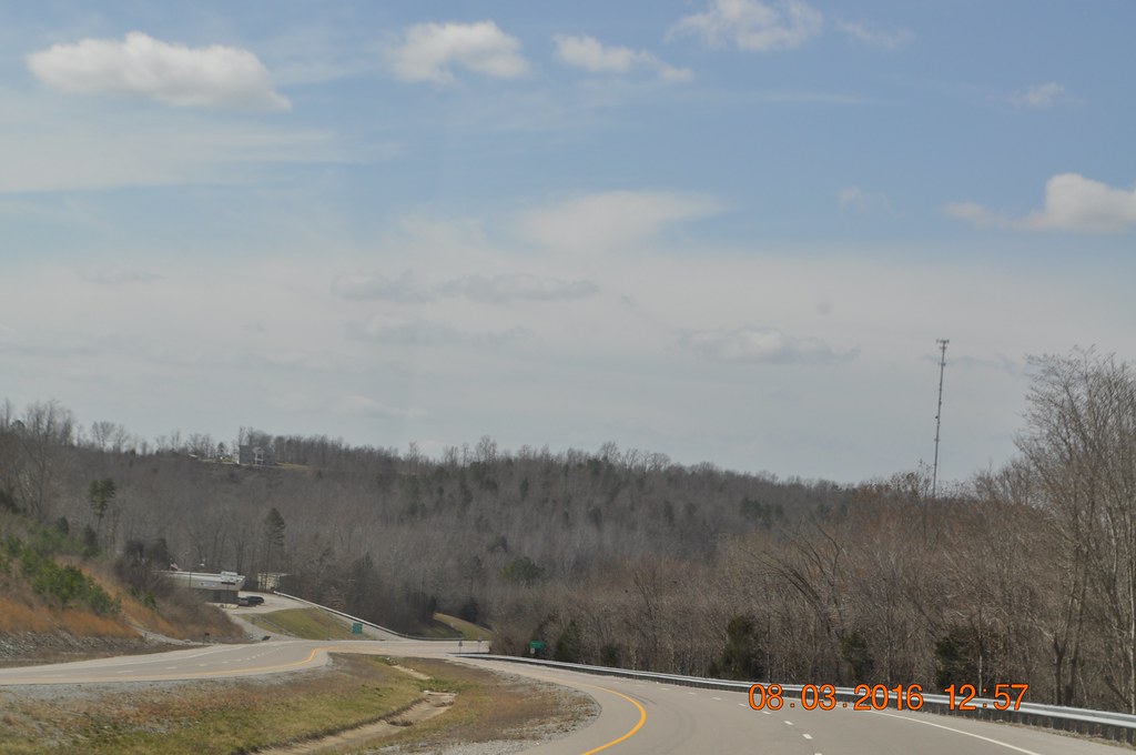
2014 March 11 Traveling to and from Waynesboro Tn
2014 March 11 Traveling to and from Waynesboro Tn
On the Natchez Trace Parkway
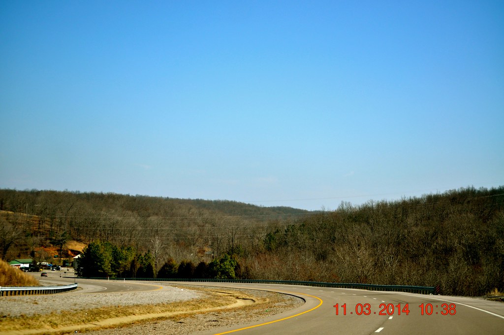
2014 March 11 Traveling to and from Waynesboro Tn
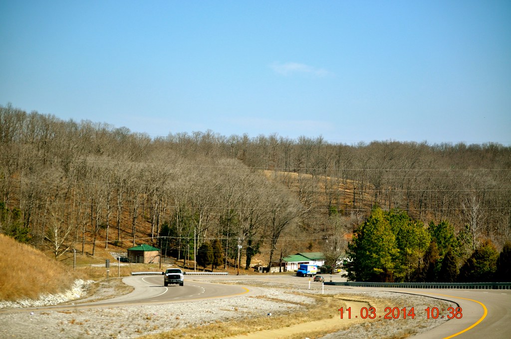
2014 March 11 Traveling to and from Waynesboro Tn
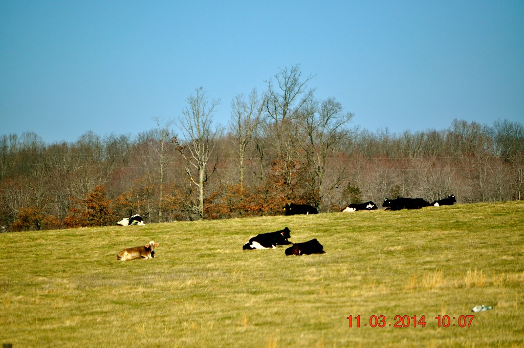
2014 March 11 Traveling to and from Waynesboro Tn
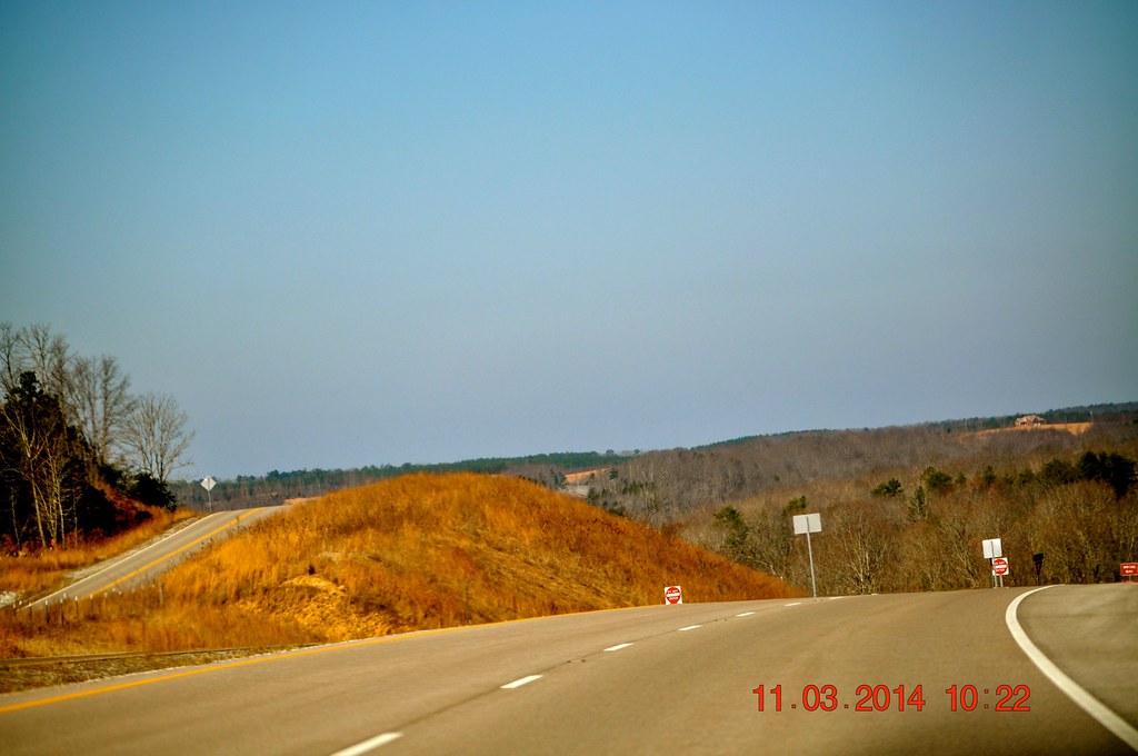
2014 March 11 Traveling to and from Waynesboro Tn
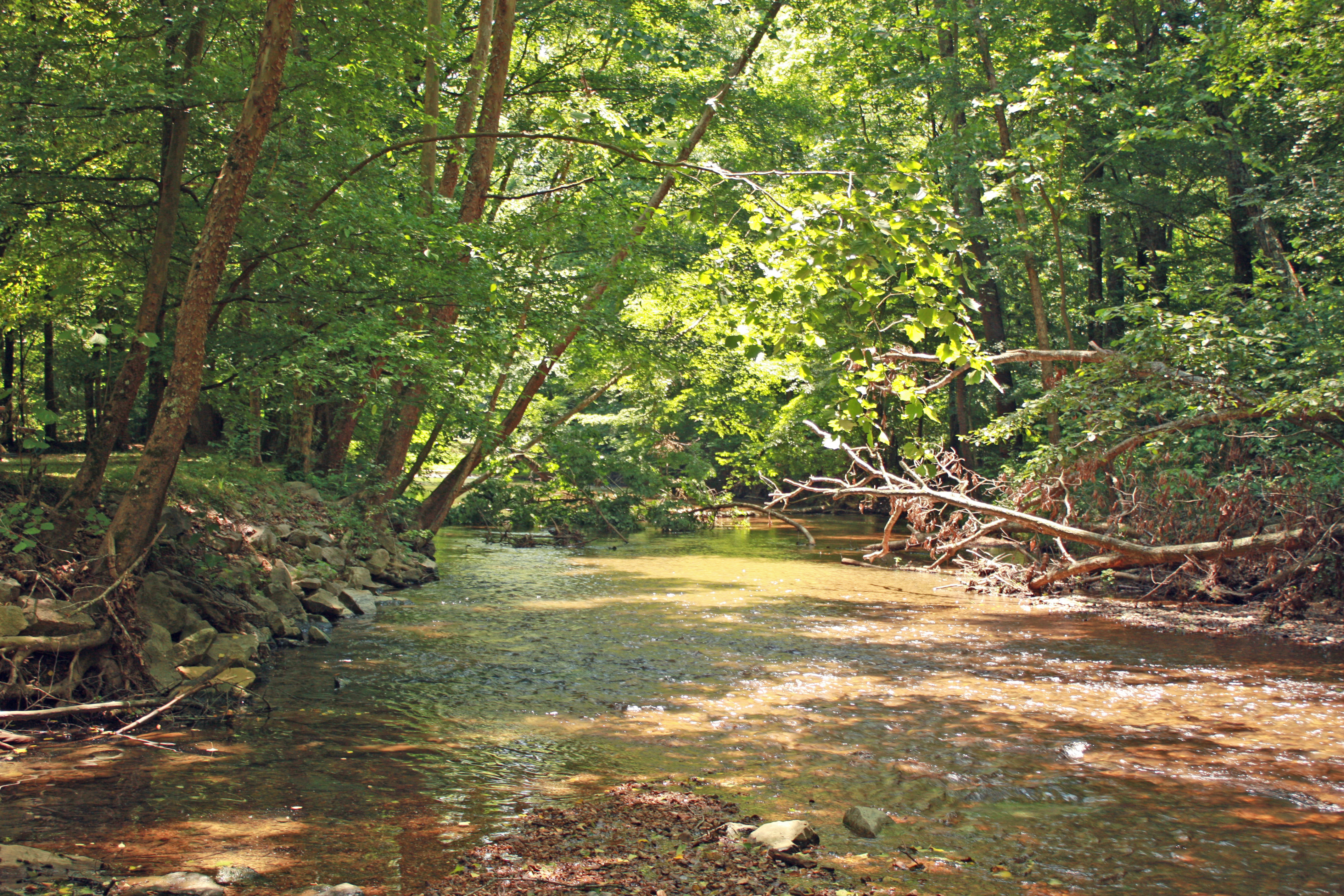
Scenic Stream
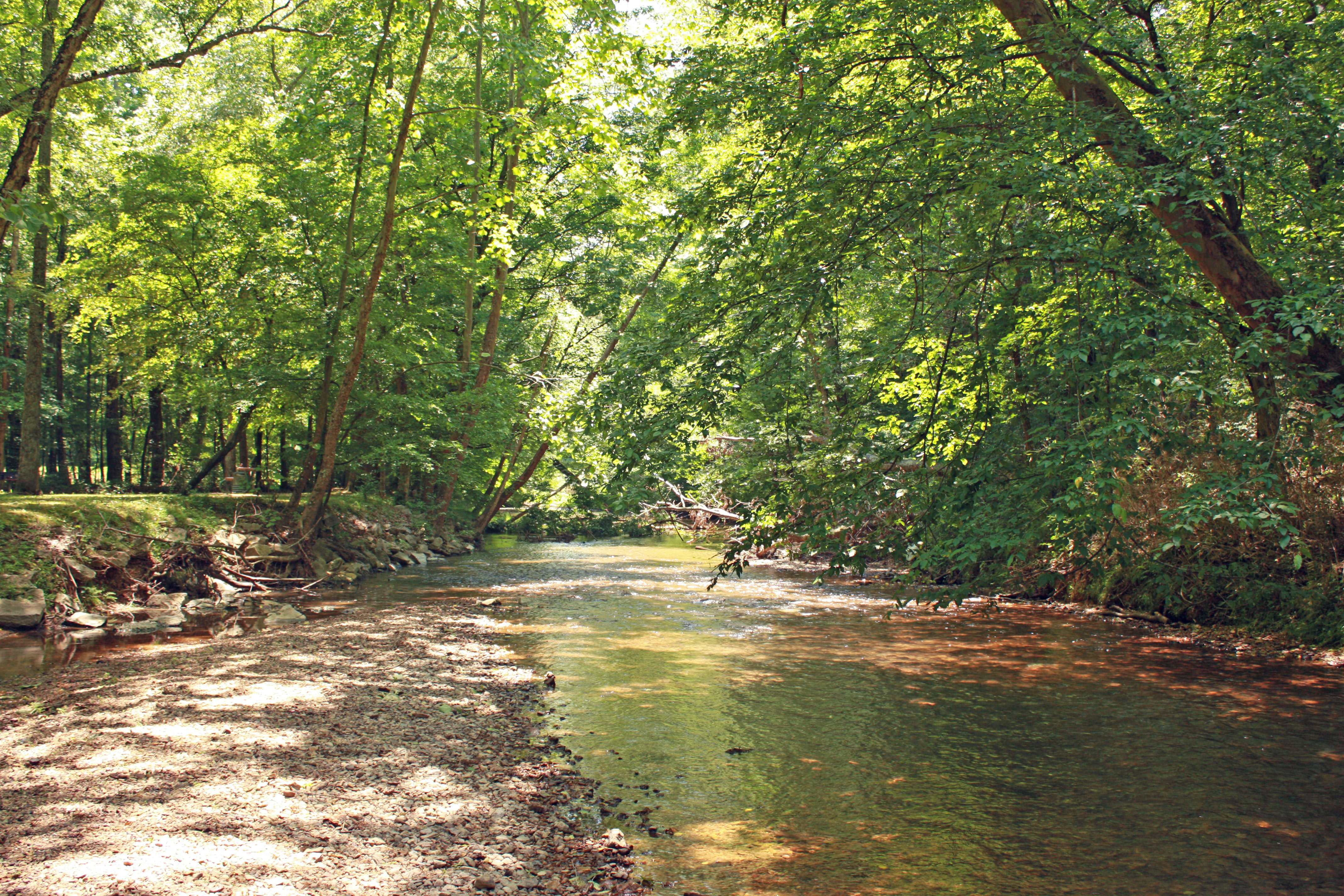
Scenic Stream
Waynesboro Tennessee
Waynesboro Tennessee
Topographic Map of Shady Oak Dr, Collinwood, TN, USA
Find elevation by address:

Places near Shady Oak Dr, Collinwood, TN, USA:
Collinwood
Lay Hollow Road
Banjo Branch Rd, Waynesboro, TN, USA
Wayne County
Hurricane Creek
Waynesboro
1297 Savannah Hwy
4499 Fortyeight Creek Rd
434 Faye Dr
539 Waynesboro Hwy
116 Pierce Ln
2535 Mt Hope Rd
425 Abrams Rd
Natural Bridge Road
299 Natural Bridge Park Rd
1901 Moccasin Creek Rd
Topsy
Pigpen Hollow Road
68 2-98 Triple S Rd
Lawrence County
Recent Searches:
- Elevation of Pykes Down, Ivybridge PL21 0BY, UK
- Elevation of Jalan Senandin, Lutong, Miri, Sarawak, Malaysia
- Elevation of Bilohirs'k
- Elevation of 30 Oak Lawn Dr, Barkhamsted, CT, USA
- Elevation of Luther Road, Luther Rd, Auburn, CA, USA
- Elevation of Unnamed Road, Respublika Severnaya Osetiya — Alaniya, Russia
- Elevation of Verkhny Fiagdon, North Ossetia–Alania Republic, Russia
- Elevation of F. Viola Hiway, San Rafael, Bulacan, Philippines
- Elevation of Herbage Dr, Gulfport, MS, USA
- Elevation of Lilac Cir, Haldimand, ON N3W 2G9, Canada