Elevation of Kawaharachō Yamagami, Tottori-shi, Tottori-ken -, Japan
Location: Japan > Tottori Prefecture > Tottori >
Longitude: 134.165035
Latitude: 35.3647158
Elevation: 122m / 400feet
Barometric Pressure: 100KPa
Elevation Map:
Satellite Map:
Related Photos:
On this day in 2009

Beautiful view from the ruin of Shikano Castle

Mt. Oginosen

canada goldenrod

susuki grass

2010-0605-0041

canada goldenrod

2010-0605-0036

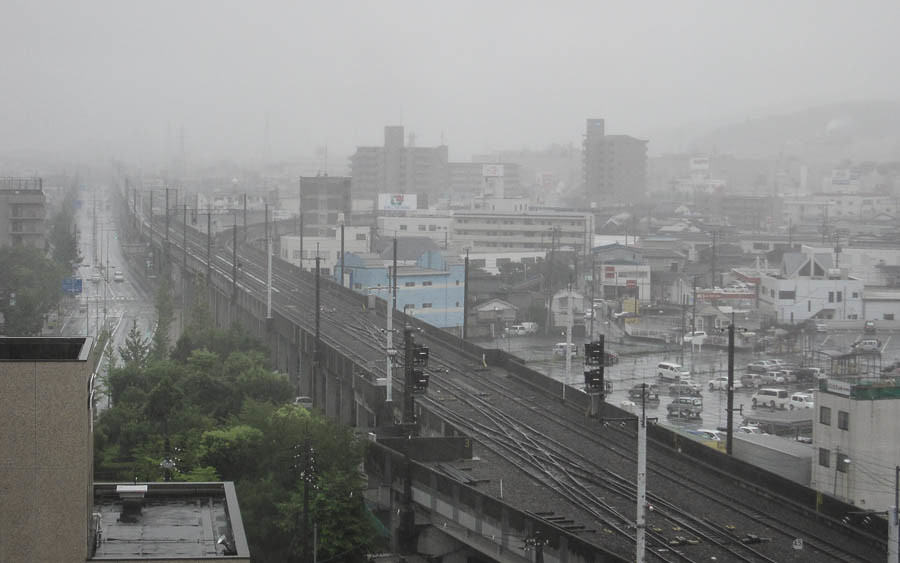
特急スーパーはくと1号

spider lily

stone fence

Mt. Oginosen

2010-0605-0043

dry grass field
Tottori White

spider lily

2010-0605-0057

spider lily
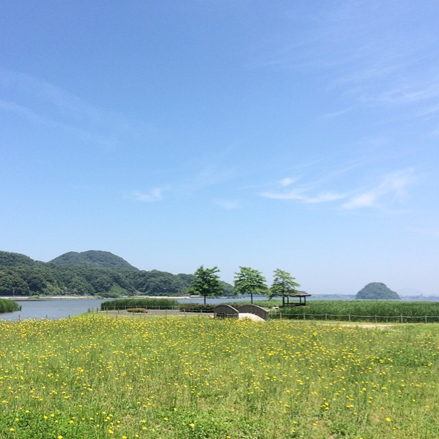
湖山池の周りをぶらぶら

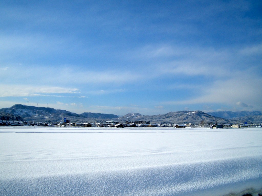
winter riverside

菜の花

drying rice
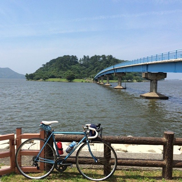
湖山池の中にある青島。一周1.8キロ。
Topographic Map of Kawaharachō Yamagami, Tottori-shi, Tottori-ken -, Japan
Find elevation by address:

Places near Kawaharachō Yamagami, Tottori-shi, Tottori-ken -, Japan:
72 Kawaharachō Honga, Tottori-shi, Tottori-ken -, Japan
Kawaharachō Ogura, Tottori-shi, Tottori-ken -, Japan
Kawaharachō Ogouchi, Tottori-shi, Tottori-ken -, Japan
Sajichō Tsunashi, Tottori-shi, Tottori-ken -, Japan
Kawaharachō Mizune, Tottori-shi, Tottori-ken -, Japan
Sajichō Kazuratani, Tottori-shi, Tottori-ken -, Japan
65 Kawaharachō Yudani, Tottori-shi, Tottori-ken -, Japan
19 Sajichō Kobara, Tottori-shi, Tottori-ken -, Japan
Sajichō Furuichi, Tottori-shi, Tottori-ken -, Japan
Kawaharachō Tenjinbara, Tottori-shi, Tottori-ken -, Japan
Kawaharachō Kanba, Tottori-shi, Tottori-ken -, Japan
Kawaharachō Yumigouchi, Tottori-shi, Tottori-ken -, Japan
Sajichō Moritsubo, Tottori-shi, Tottori-ken -, Japan
Kawaharachō Hiketa, Tottori-shi, Tottori-ken -, Japan
Mochigasechō Furumochigase, Tottori-shi, Tottori-ken -, Japan
832 Mochigasechō Mochigase
用瀬町総合支所
350-21 Kawaharachō Watarihitotsugi
JA鳥取いなば
Kawaharachō Kamakuchi, Tottori-shi, Tottori-ken -, Japan
Recent Searches:
- Elevation of Congressional Dr, Stevensville, MD, USA
- Elevation of Bellview Rd, McLean, VA, USA
- Elevation of Stage Island Rd, Chatham, MA, USA
- Elevation of Shibuya Scramble Crossing, 21 Udagawacho, Shibuya City, Tokyo -, Japan
- Elevation of Jadagoniai, Kaunas District Municipality, Lithuania
- Elevation of Pagonija rock, Kranto 7-oji g. 8"N, Kaunas, Lithuania
- Elevation of Co Rd 87, Jamestown, CO, USA
- Elevation of Tenjo, Cundinamarca, Colombia
- Elevation of Côte-des-Neiges, Montreal, QC H4A 3J6, Canada
- Elevation of Bobcat Dr, Helena, MT, USA