Elevation of Kawaharachō Tenjinbara, Tottori-shi, Tottori-ken -, Japan
Location: Japan > Tottori Prefecture > Tottori >
Longitude: 134.181600
Latitude: 35.3887827
Elevation: 63m / 207feet
Barometric Pressure: 101KPa
Elevation Map:
Satellite Map:
Related Photos:

Beautiful view from the ruin of Shikano Castle
On this day in 2009

ND filter test
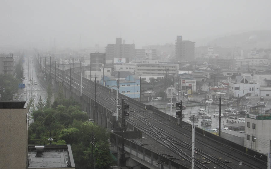
Tottori Castle 2 - 鳥取城跡の夕景

Mt. Oginosen

canada goldenrod

2010-0605-0041

canada goldenrod

2010-0605-0036

特急スーパーはくと1号

2010-0605-0043

dry grass field

2010-0605-0057

drying rice

dry grass

paper mill

Approach Lighting System

neji-bana flower

drying rice

goldenrod in golden light

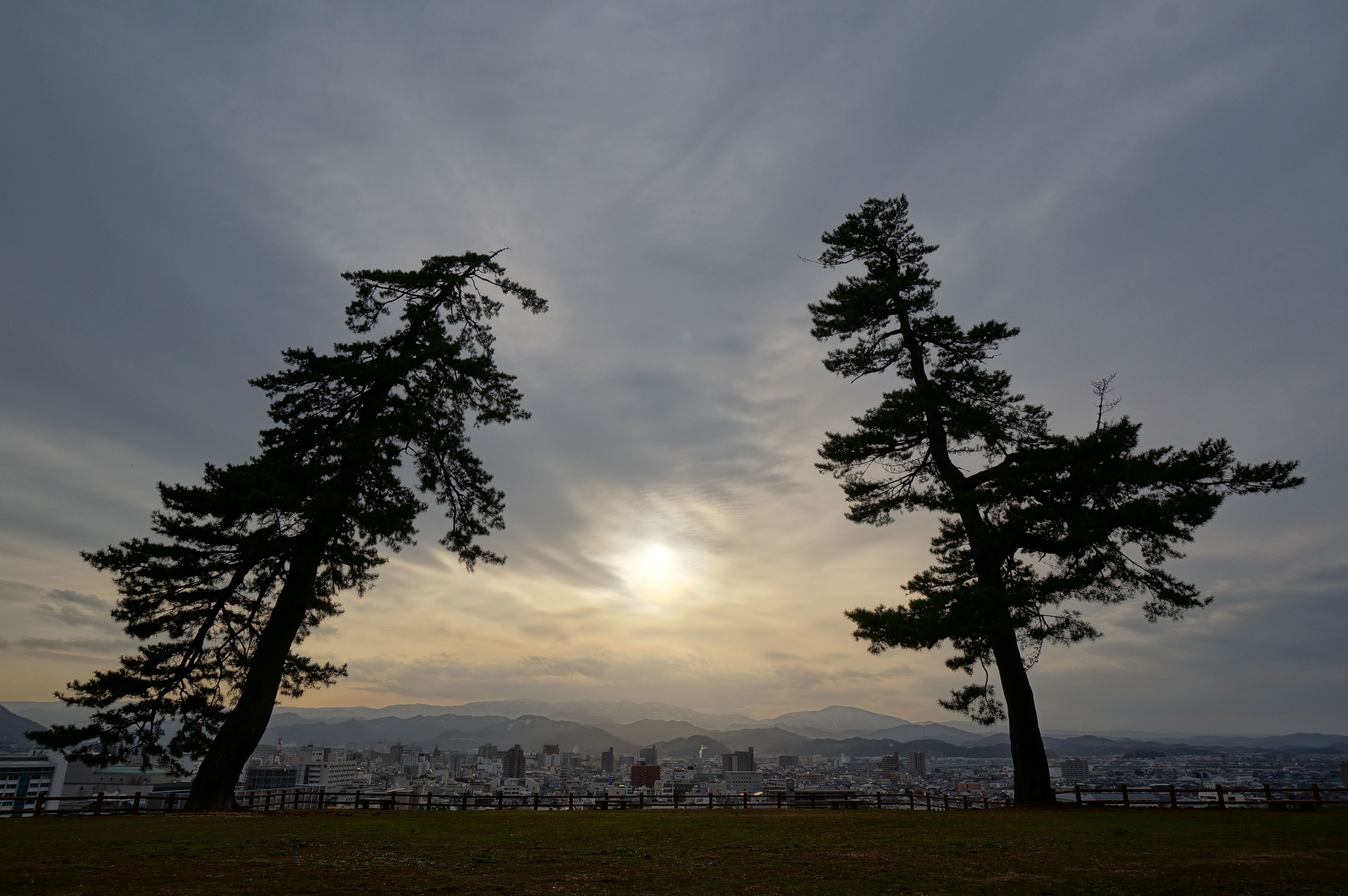
pair tree

tunnel wall

susuki grass

enokoro-gusa grass
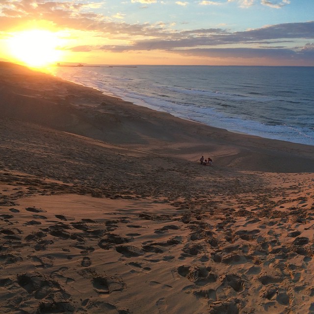
#Japan #Japão #日本 #Tottori #Dunas #Sand #鳥取 #砂丘 #Sun #Sol #太陽 #Pordosol
Topographic Map of Kawaharachō Tenjinbara, Tottori-shi, Tottori-ken -, Japan
Find elevation by address:

Places near Kawaharachō Tenjinbara, Tottori-shi, Tottori-ken -, Japan:
Kawaharachō Hiketa, Tottori-shi, Tottori-ken -, Japan
Kawaharachō Mizune, Tottori-shi, Tottori-ken -, Japan
72 Kawaharachō Honga, Tottori-shi, Tottori-ken -, Japan
350-21 Kawaharachō Watarihitotsugi
JA鳥取いなば
Kawaharachō Ayugaoka, Tottori-shi, Tottori-ken -, Japan
65 Kawaharachō Yudani, Tottori-shi, Tottori-ken -, Japan
Kawaharachō Yamagami, Tottori-shi, Tottori-ken -, Japan
Kawaharachō Yamate, Tottori-shi, Tottori-ken -, Japan
Kawaharachō Ogura, Tottori-shi, Tottori-ken -, Japan
Kawaharachō Ogouchi, Tottori-shi, Tottori-ken -, Japan
Kawaharachō Kamakuchi, Tottori-shi, Tottori-ken -, Japan
Kawaharachō Mitani, Tottori-shi, Tottori-ken -, Japan
Kawaharachō Yumigouchi, Tottori-shi, Tottori-ken -, Japan
Kawaharachō Inatsune, Tottori-shi, Tottori-ken -, Japan
Sajichō Tsunashi, Tottori-shi, Tottori-ken -, Japan
Sajichō Kazuratani, Tottori-shi, Tottori-ken -, Japan
19 Sajichō Kobara, Tottori-shi, Tottori-ken -, Japan
832 Mochigasechō Mochigase
用瀬町総合支所
Recent Searches:
- Elevation of Holloway Ave, San Francisco, CA, USA
- Elevation of Norfolk, NY, USA
- Elevation of - San Marcos Pass Rd, Santa Barbara, CA, USA
- Elevation of th Pl SE, Issaquah, WA, USA
- Elevation of 82- D Rd, Captain Cook, HI, USA
- Elevation of Harlow CM20 2PR, UK
- Elevation of Shenyang Agricultural University, Dong Ling Lu, Shen He Qu, Shen Yang Shi, Liao Ning Sheng, China
- Elevation of Alpha Dr, Melbourne, FL, USA
- Elevation of Hiroshima University, 1-chōme-3-2 Kagamiyama, Higashihiroshima, Hiroshima -, Japan
- Elevation of Bernina Dr, Lake Arrowhead, CA, USA