Elevation of Kawaharachō Mizune, Tottori-shi, Tottori-ken -, Japan
Location: Japan > Tottori Prefecture > Tottori >
Longitude: 134.184408
Latitude: 35.3722626
Elevation: 64m / 210feet
Barometric Pressure: 101KPa
Elevation Map:
Satellite Map:
Related Photos:

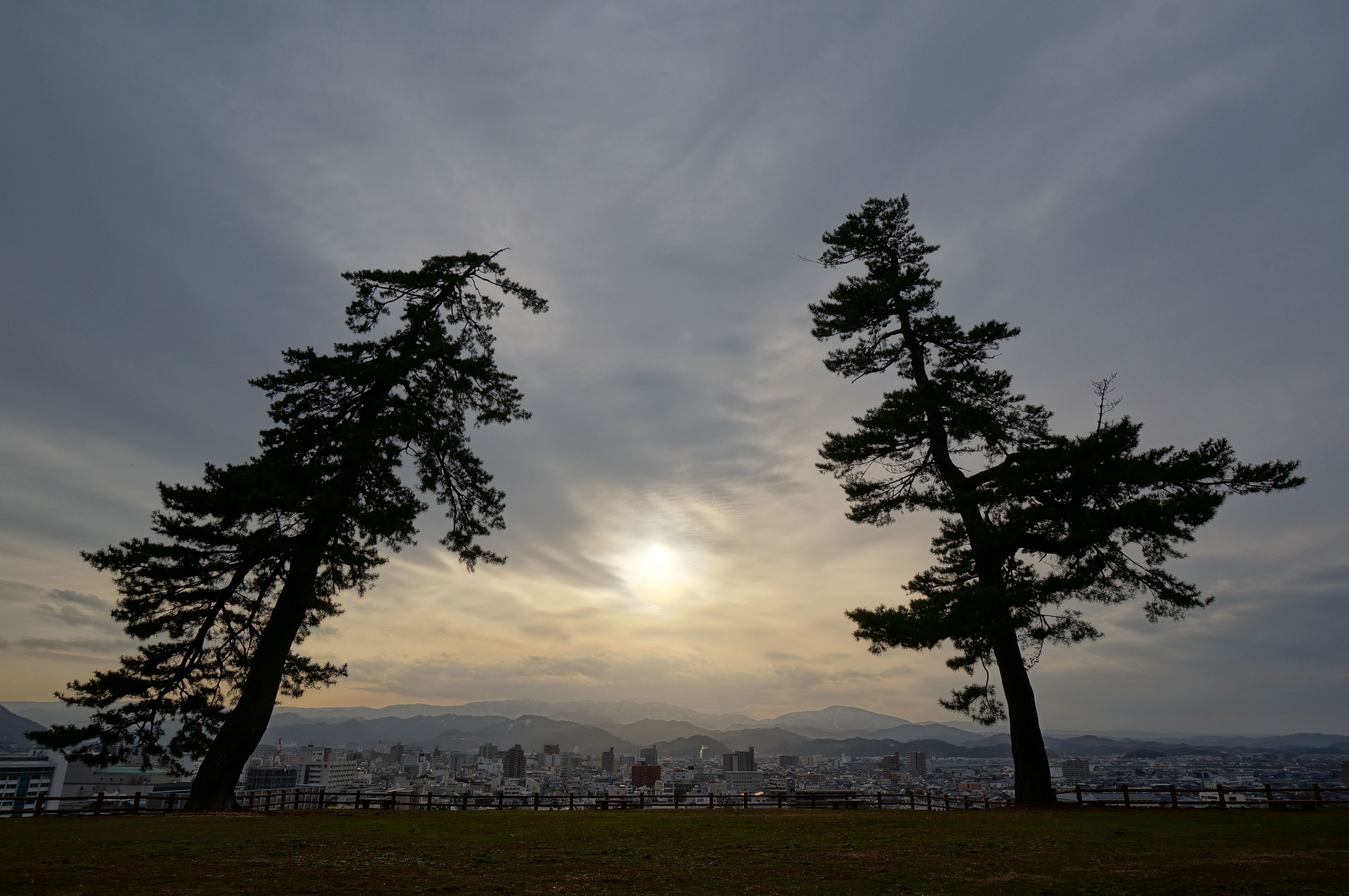
Beautiful view from the ruin of Shikano Castle
On this day in 2009
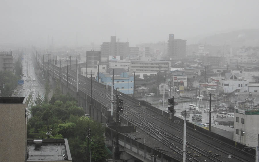
Tottori Castle 2 - 鳥取城跡の夕景

goldenrod in golden light

Mt. Oginosen

pair tree

canada goldenrod

susuki grass

2010-0605-0041

canada goldenrod

2010-0605-0036

特急スーパーはくと1号

stone fence

Mt. Oginosen

2010-0605-0043

dry grass field
Tottori White

2010-0605-0057

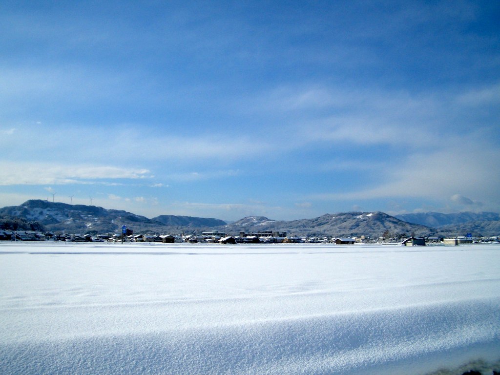
winter riverside

菜の花

drying rice
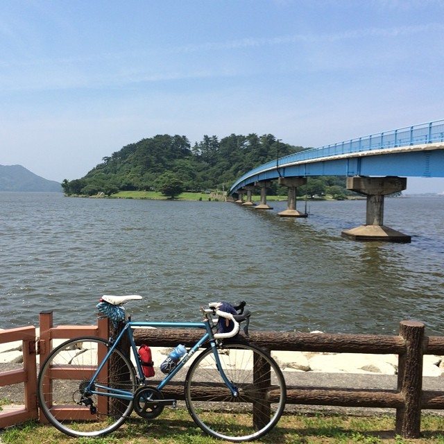
湖山池の中にある青島。一周1.8キロ。

drying rice

drying rice
Topographic Map of Kawaharachō Mizune, Tottori-shi, Tottori-ken -, Japan
Find elevation by address:

Places near Kawaharachō Mizune, Tottori-shi, Tottori-ken -, Japan:
Kawaharachō Tenjinbara, Tottori-shi, Tottori-ken -, Japan
Kawaharachō Ogura, Tottori-shi, Tottori-ken -, Japan
72 Kawaharachō Honga, Tottori-shi, Tottori-ken -, Japan
Kawaharachō Yamagami, Tottori-shi, Tottori-ken -, Japan
Kawaharachō Hiketa, Tottori-shi, Tottori-ken -, Japan
Kawaharachō Kamakuchi, Tottori-shi, Tottori-ken -, Japan
19 Sajichō Kobara, Tottori-shi, Tottori-ken -, Japan
350-21 Kawaharachō Watarihitotsugi
JA鳥取いなば
65 Kawaharachō Yudani, Tottori-shi, Tottori-ken -, Japan
Sajichō Kazuratani, Tottori-shi, Tottori-ken -, Japan
Kawaharachō Yamate, Tottori-shi, Tottori-ken -, Japan
Kawaharachō Ogouchi, Tottori-shi, Tottori-ken -, Japan
832 Mochigasechō Mochigase
用瀬町総合支所
Sajichō Tsunashi, Tottori-shi, Tottori-ken -, Japan
Mochigasechō Furumochigase, Tottori-shi, Tottori-ken -, Japan
Kawaharachō Ayugaoka, Tottori-shi, Tottori-ken -, Japan
Mochigasechō Aganami, Tottori-shi, Tottori-ken -, Japan
Kawaharachō Mitani, Tottori-shi, Tottori-ken -, Japan
Recent Searches:
- Elevation of Felindre, Swansea SA5 7LU, UK
- Elevation of Leyte Industrial Development Estate, Isabel, Leyte, Philippines
- Elevation of W Granada St, Tampa, FL, USA
- Elevation of Pykes Down, Ivybridge PL21 0BY, UK
- Elevation of Jalan Senandin, Lutong, Miri, Sarawak, Malaysia
- Elevation of Bilohirs'k
- Elevation of 30 Oak Lawn Dr, Barkhamsted, CT, USA
- Elevation of Luther Road, Luther Rd, Auburn, CA, USA
- Elevation of Unnamed Road, Respublika Severnaya Osetiya — Alaniya, Russia
- Elevation of Verkhny Fiagdon, North Ossetia–Alania Republic, Russia