Elevation of Kawaharachō Kamakuchi, Tottori-shi, Tottori-ken -, Japan
Location: Japan > Tottori Prefecture > Tottori >
Longitude: 134.216747
Latitude: 35.3730246
Elevation: 50m / 164feet
Barometric Pressure: 101KPa
Elevation Map:
Satellite Map:
Related Photos:
On this day in 2009
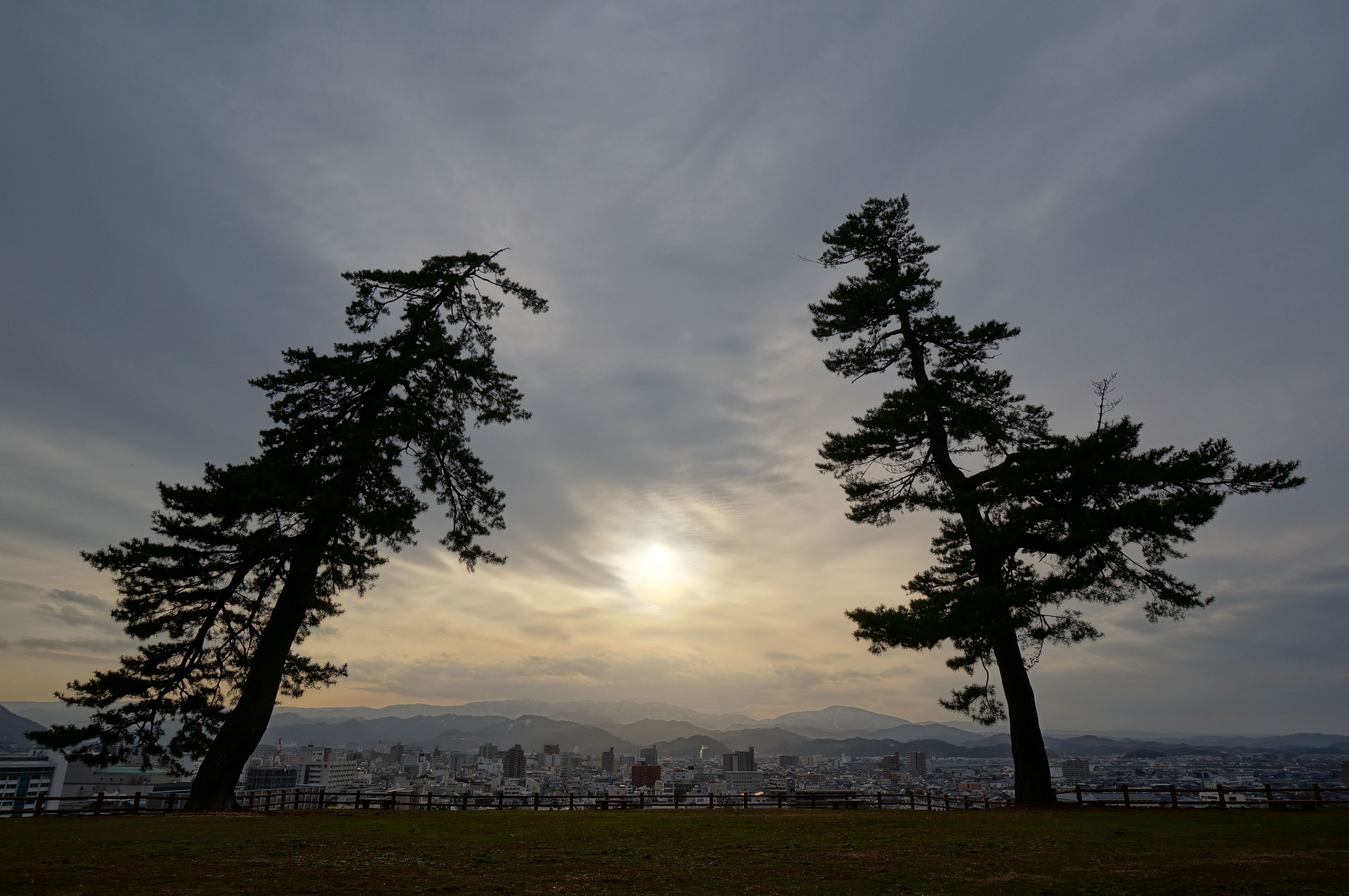
Tottori Castle 2 - 鳥取城跡の夕景

canada goldenrod

2010-0605-0041

canada goldenrod

2010-0605-0036

inside tree hollow

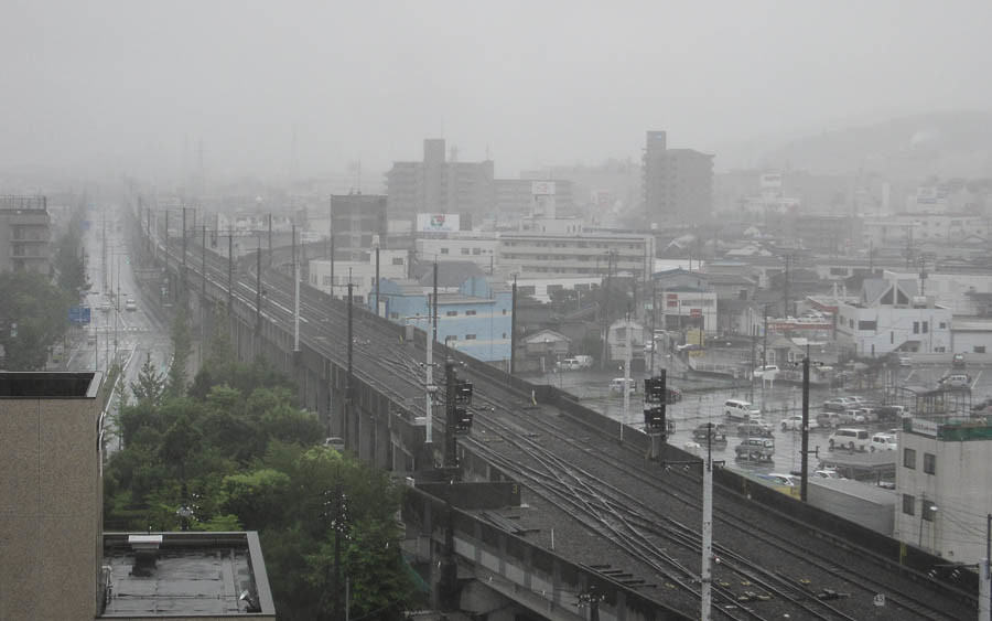
特急スーパーはくと1号

2010-0605-0043

dry grass field

2010-0605-0057

drying rice

dry grass

paper mill

drying rice

drying rice

goldenrod in golden light

Mt. Oginosen

pair tree

tunnel wall

susuki grass

enokoro-gusa grass

pair tree
Topographic Map of Kawaharachō Kamakuchi, Tottori-shi, Tottori-ken -, Japan
Find elevation by address:

Places near Kawaharachō Kamakuchi, Tottori-shi, Tottori-ken -, Japan:
Kawaharachō Mitani, Tottori-shi, Tottori-ken -, Japan
Kawaharachō Yamate, Tottori-shi, Tottori-ken -, Japan
Mochigasechō Aganami, Tottori-shi, Tottori-ken -, Japan
Kawaharachō Hiketa, Tottori-shi, Tottori-ken -, Japan
832 Mochigasechō Mochigase
用瀬町総合支所
JA鳥取いなば
350-21 Kawaharachō Watarihitotsugi
Kawaharachō Mizune, Tottori-shi, Tottori-ken -, Japan
Kawaharachō Tenjinbara, Tottori-shi, Tottori-ken -, Japan
Kawaharachō Ogura, Tottori-shi, Tottori-ken -, Japan
Kawaharachō Ayugaoka, Tottori-shi, Tottori-ken -, Japan
Mochigasechō Furumochigase, Tottori-shi, Tottori-ken -, Japan
Kawaharachō Inatsune, Tottori-shi, Tottori-ken -, Japan
八頭町役場
Yazu
493 Kōge
72 Kawaharachō Honga, Tottori-shi, Tottori-ken -, Japan
19 Sajichō Kobara, Tottori-shi, Tottori-ken -, Japan
Kawaharachō Yamagami, Tottori-shi, Tottori-ken -, Japan
Recent Searches:
- Elevation of Spaceport America, Co Rd A, Truth or Consequences, NM, USA
- Elevation of Warwick, RI, USA
- Elevation of Fern Rd, Whitmore, CA, USA
- Elevation of 62 Abbey St, Marshfield, MA, USA
- Elevation of Fernwood, Bradenton, FL, USA
- Elevation of Felindre, Swansea SA5 7LU, UK
- Elevation of Leyte Industrial Development Estate, Isabel, Leyte, Philippines
- Elevation of W Granada St, Tampa, FL, USA
- Elevation of Pykes Down, Ivybridge PL21 0BY, UK
- Elevation of Jalan Senandin, Lutong, Miri, Sarawak, Malaysia