Elevation of Johnston County, OK, USA
Location: United States > Oklahoma >
Longitude: -96.621061
Latitude: 34.2855117
Elevation: 236m / 774feet
Barometric Pressure: 99KPa
Elevation Map:
Satellite Map:
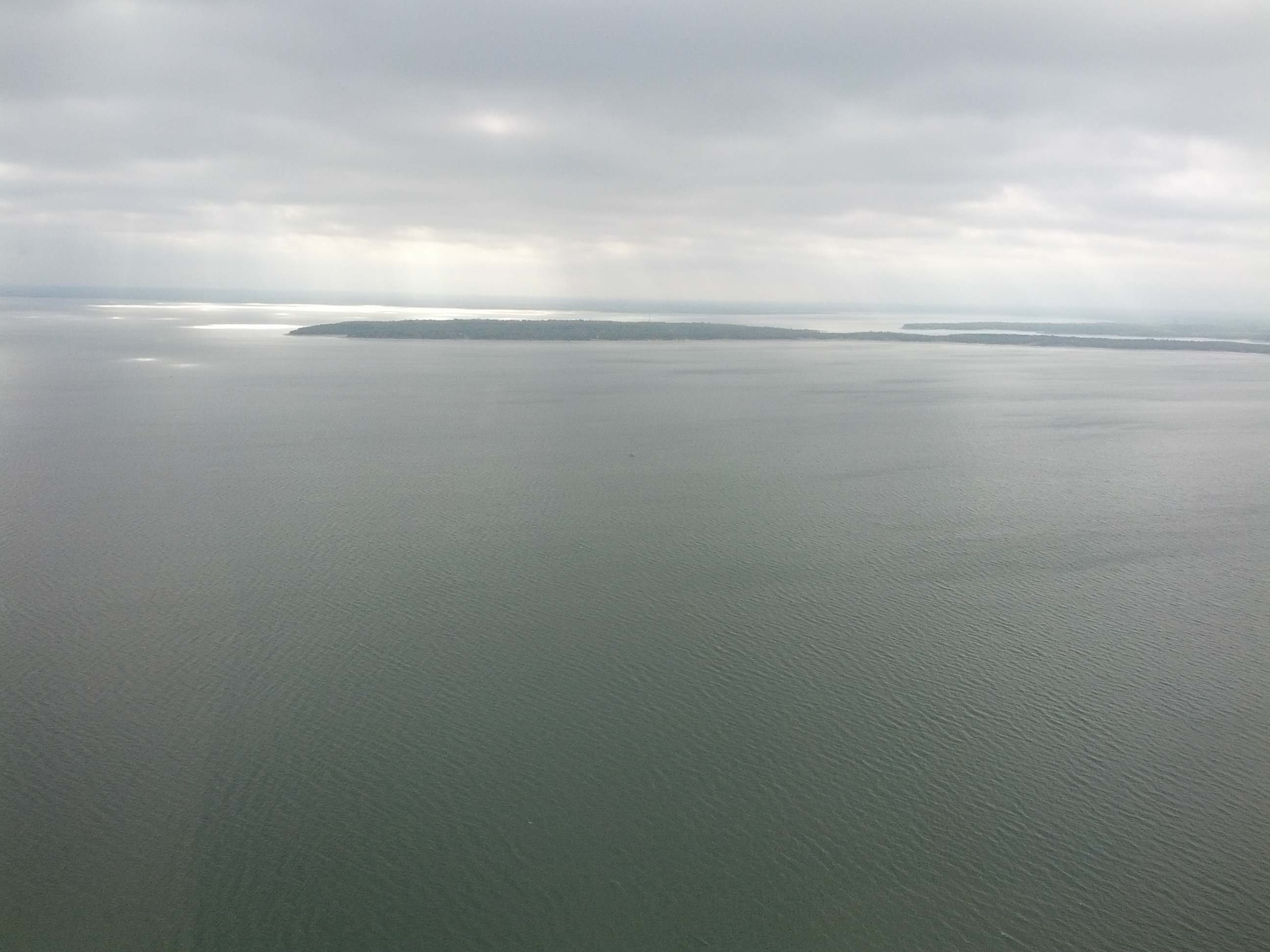
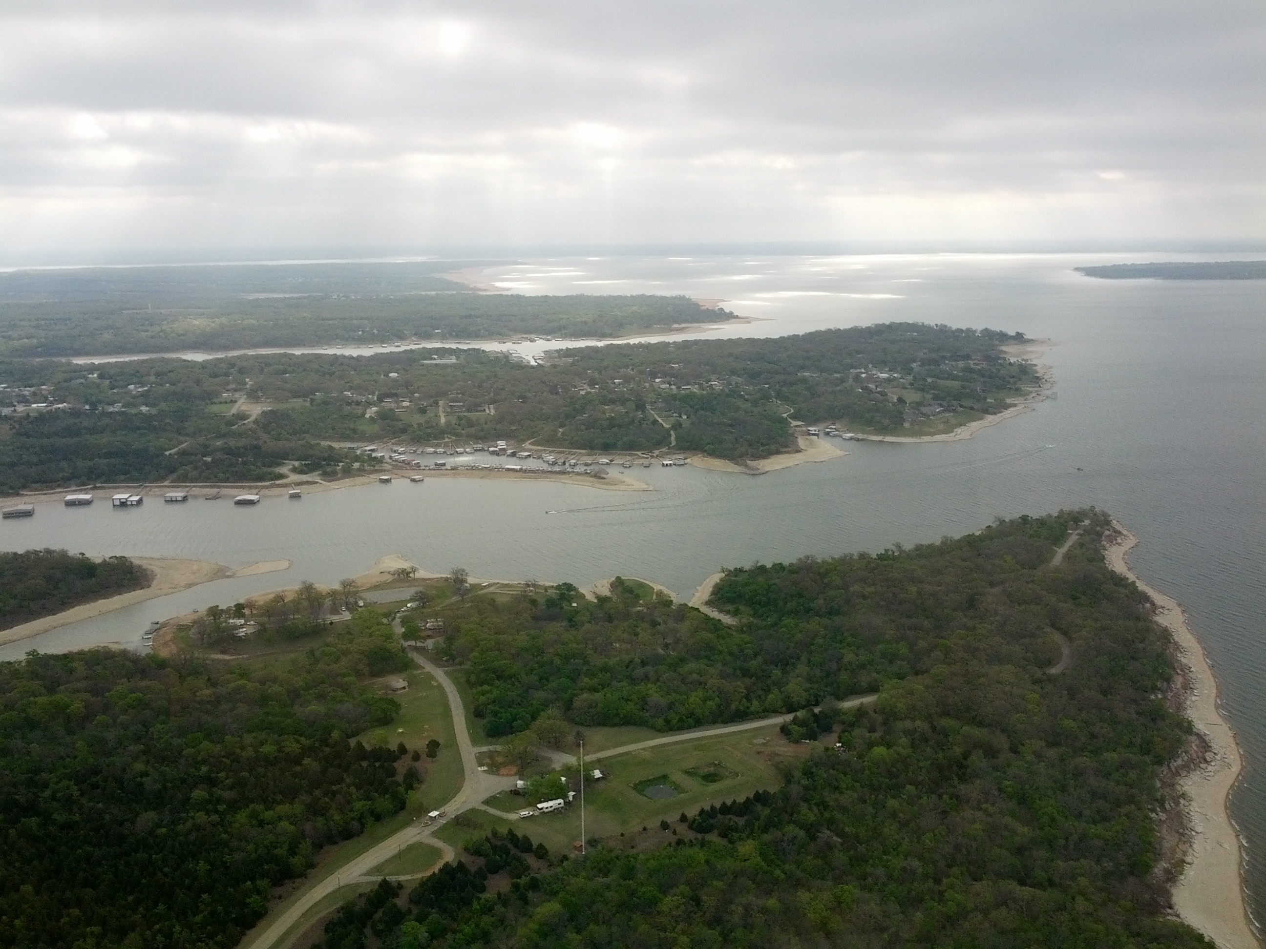
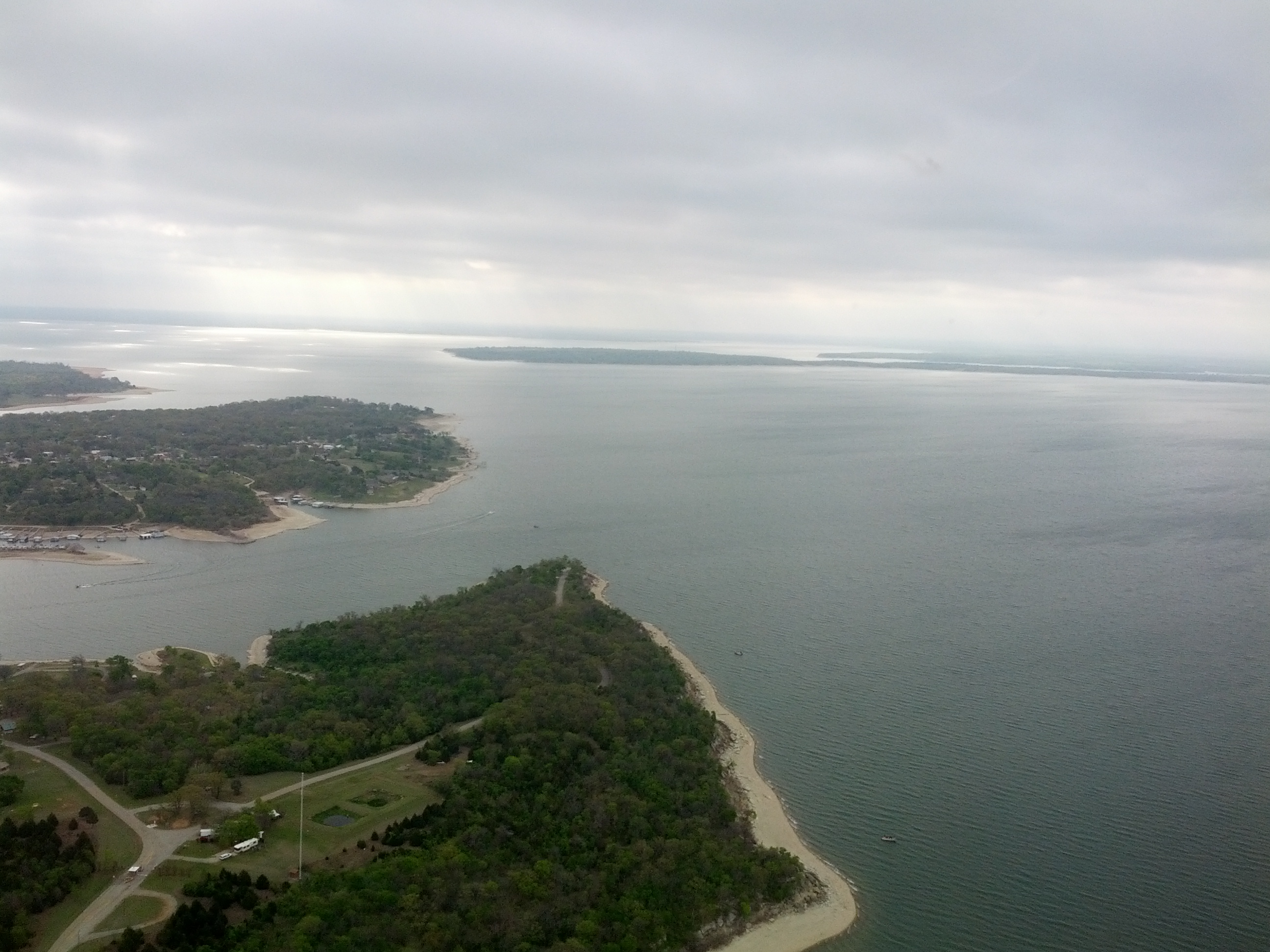
Related Photos:
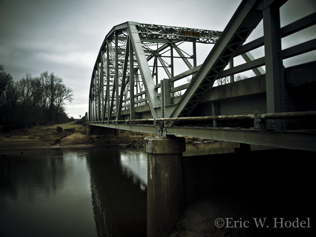
Washita Span

Swamp Darner (Epiaeschna heros)
2011-04-14_5621
2011-04-14_5611

Trout Fishing!

2011-04-14_5612
P4220003.JPG
Trip to Oklahoma
Trip to Oklahoma
Trip to Oklahoma
Topographic Map of Johnston County, OK, USA
Find elevation by address:

Places in Johnston County, OK, USA:
Places near Johnston County, OK, USA:
1054 Cedar Ridge Rd
806 E 8th St
Tishomingo
504 E 20th St
Dr. Kayla Muszynski, Dds
Milburn
OK-78, Milburn, OK, USA
5th St, Coleman, OK, USA
Madill
S 1st St, Madill, OK, USA
1041 S 1st St
1297 Smiley Rd
Newberry Creek Resort & Marina
Mary St, Kenefic, OK, USA
Kenefic
Kingston
Oklahoma 32
498 Crestview Ln
Rd, Durant, OK, USA
Marshall County
Recent Searches:
- Elevation of Zu den Ihlowbergen, Althüttendorf, Germany
- Elevation of Badaber, Peshawar, Khyber Pakhtunkhwa, Pakistan
- Elevation of SE Heron Loop, Lincoln City, OR, USA
- Elevation of Slanický ostrov, 01 Námestovo, Slovakia
- Elevation of Spaceport America, Co Rd A, Truth or Consequences, NM, USA
- Elevation of Warwick, RI, USA
- Elevation of Fern Rd, Whitmore, CA, USA
- Elevation of 62 Abbey St, Marshfield, MA, USA
- Elevation of Fernwood, Bradenton, FL, USA
- Elevation of Felindre, Swansea SA5 7LU, UK