Elevation of Smiley Rd, Madill, OK, USA
Longitude: -96.762447
Latitude: 34.0719219
Elevation: 257m / 843feet
Barometric Pressure: 98KPa
Elevation Map:
Satellite Map:
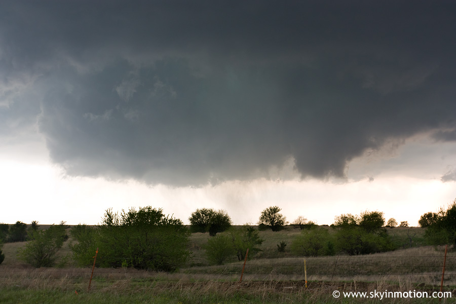
Related Photos:

Lake Texoma, Oklahoma.
2011-04-14_5621

Half-Buried

Fallen on the Shore

2011-04-14_5611

Pennington Creek_014
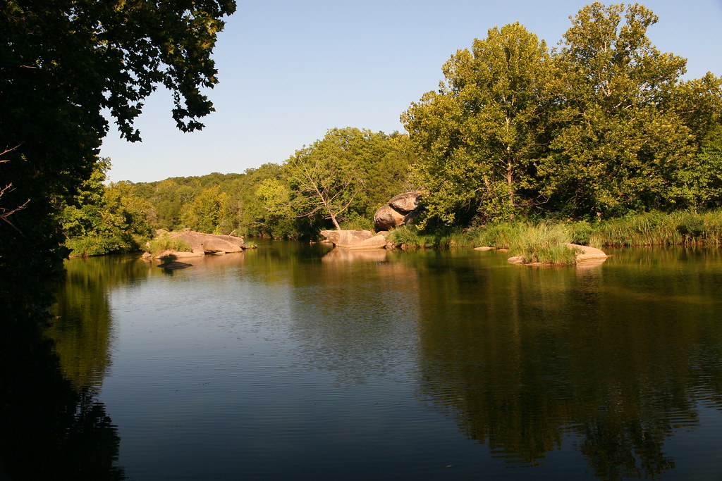
Pennington Creek_013

2011-04-14_5628

2011-04-14_5612
Topographic Map of Smiley Rd, Madill, OK, USA
Find elevation by address:

Places near Smiley Rd, Madill, OK, USA:
1041 S 1st St
S 1st St, Madill, OK, USA
Madill
Marshall County
Oklahoma 32
Kingston
Dr. Kayla Muszynski, Dds
14018 Keeton Rd
504 E 20th St
Tishomingo
806 E 8th St
US-, Kingston, OK, USA
4557 Hidden Path
7734 Tomahawk Ln
2900 Riverview Rd
Newberry Creek Resort & Marina
250 Yorkshire Dr
1054 Cedar Ridge Rd
62 S Katy Dr, Mead, OK, USA
Melvin Douglas Road
Recent Searches:
- Elevation of Congressional Dr, Stevensville, MD, USA
- Elevation of Bellview Rd, McLean, VA, USA
- Elevation of Stage Island Rd, Chatham, MA, USA
- Elevation of Shibuya Scramble Crossing, 21 Udagawacho, Shibuya City, Tokyo -, Japan
- Elevation of Jadagoniai, Kaunas District Municipality, Lithuania
- Elevation of Pagonija rock, Kranto 7-oji g. 8"N, Kaunas, Lithuania
- Elevation of Co Rd 87, Jamestown, CO, USA
- Elevation of Tenjo, Cundinamarca, Colombia
- Elevation of Côte-des-Neiges, Montreal, QC H4A 3J6, Canada
- Elevation of Bobcat Dr, Helena, MT, USA