Elevation of Marshall County, OK, USA
Location: United States > Oklahoma >
Longitude: -96.792235
Latitude: 34.0103349
Elevation: 241m / 791feet
Barometric Pressure: 98KPa
Elevation Map:
Satellite Map:
Related Photos:

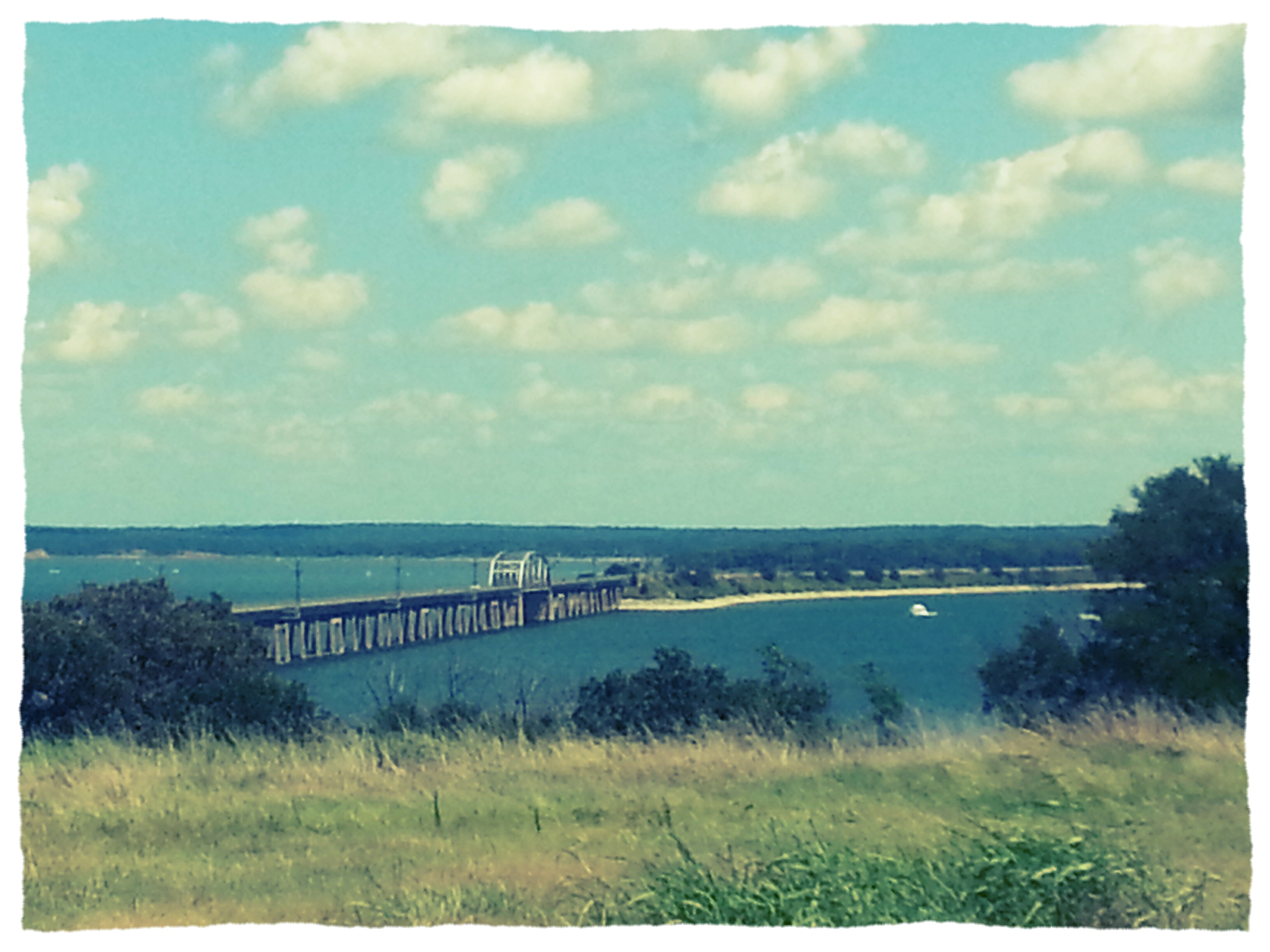
Lake Texoma, Oklahoma.

Sunset at Buncombe Creek

Flooded Red River
2011-04-14_5628

2014-04-17 01.06.10

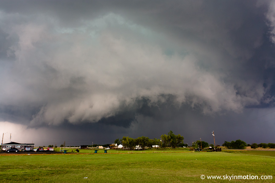
Small Town Sunrise

Marshall County Court House, Madill, Oklahoma

#BNSF nb empty rock Madill, OK
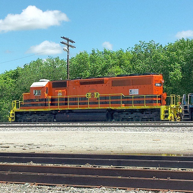
#KRR 3380 #sd40 Madill, OK

#KRR #kiamichi 3379 #sd40 Madill, OK

#LA
Over the river ....#brokenbow2015

Fairview - Old Oakland

2015-02-27_07-28-48
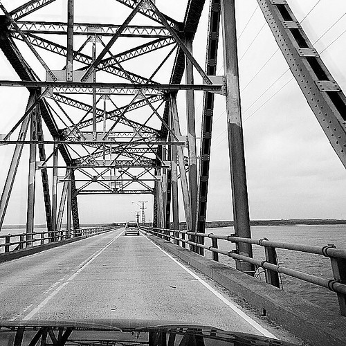
Roosevelt Bridge Highway 70

Old Madill Cemetery
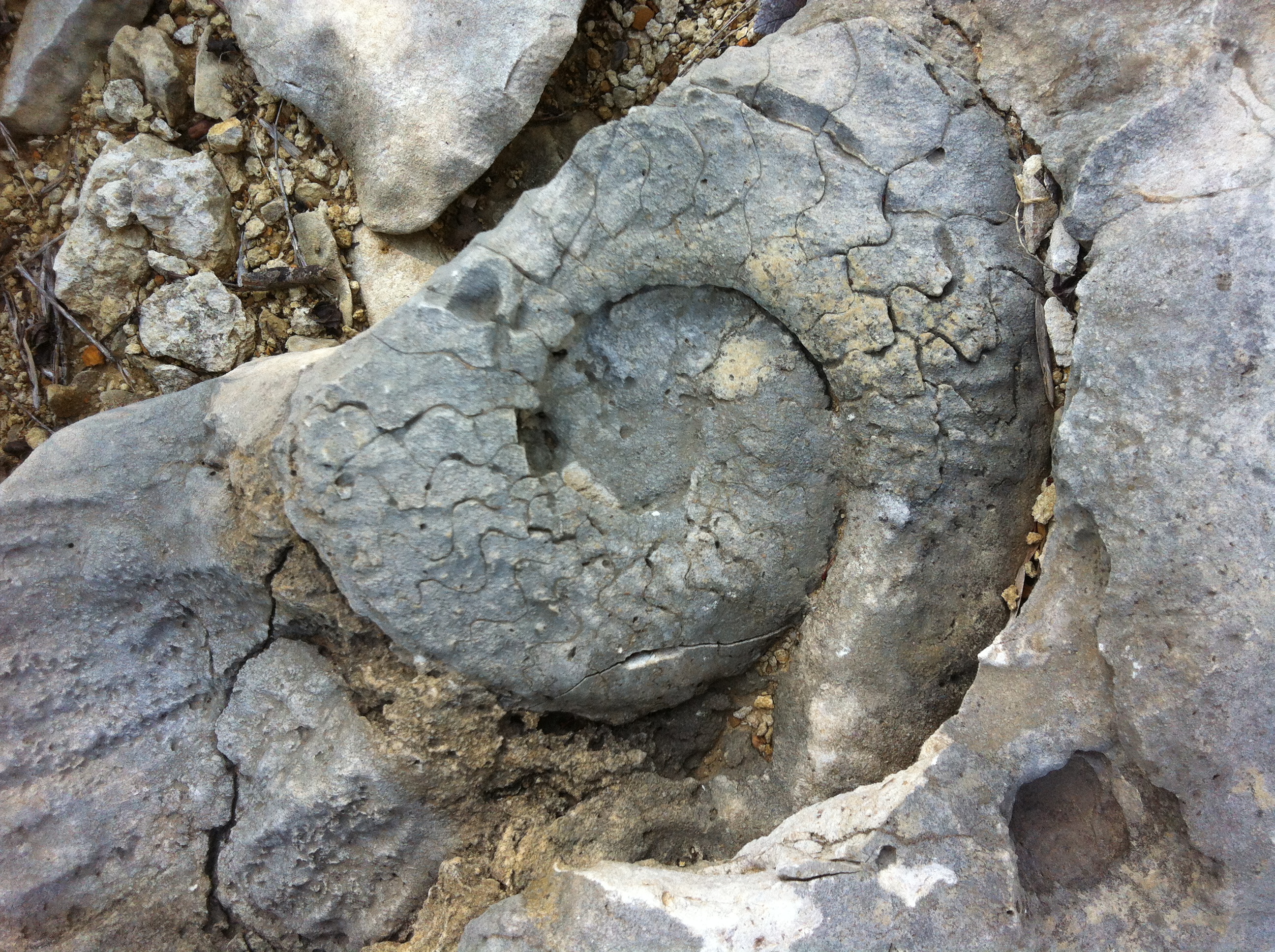
Cretaceous Ammonite

Eastern Tiger Swallowtail (Papilio glaucus)
Topographic Map of Marshall County, OK, USA
Find elevation by address:

Places in Marshall County, OK, USA:
Places near Marshall County, OK, USA:
Oklahoma 32
1041 S 1st St
1297 Smiley Rd
Kingston
S 1st St, Madill, OK, USA
Madill
14018 Keeton Rd
US-, Kingston, OK, USA
2900 Riverview Rd
250 Yorkshire Dr
Cedar Mills Rd, Gordonville, TX, USA
4557 Hidden Path
7734 Tomahawk Ln
211 Island View Dr
2379 N3370 Rd
Scott Hill Rd, Pottsboro, TX, USA
Melvin Douglas Road
Melvin Douglas Road
431 Maverick Dr
17682 Farm To Market Rd 901
Recent Searches:
- Elevation of Corso Fratelli Cairoli, 35, Macerata MC, Italy
- Elevation of Tallevast Rd, Sarasota, FL, USA
- Elevation of 4th St E, Sonoma, CA, USA
- Elevation of Black Hollow Rd, Pennsdale, PA, USA
- Elevation of Oakland Ave, Williamsport, PA, USA
- Elevation of Pedrógão Grande, Portugal
- Elevation of Klee Dr, Martinsburg, WV, USA
- Elevation of Via Roma, Pieranica CR, Italy
- Elevation of Tavkvetili Mountain, Georgia
- Elevation of Hartfords Bluff Cir, Mt Pleasant, SC, USA