Elevation of Rd, Durant, OK, USA
Location: United States > Oklahoma > Bryan County > Durant >
Longitude: -96.466132
Latitude: 34.003919
Elevation: 222m / 728feet
Barometric Pressure: 99KPa
Elevation Map:
Satellite Map:
Related Photos:

Lake Texoma, Oklahoma.
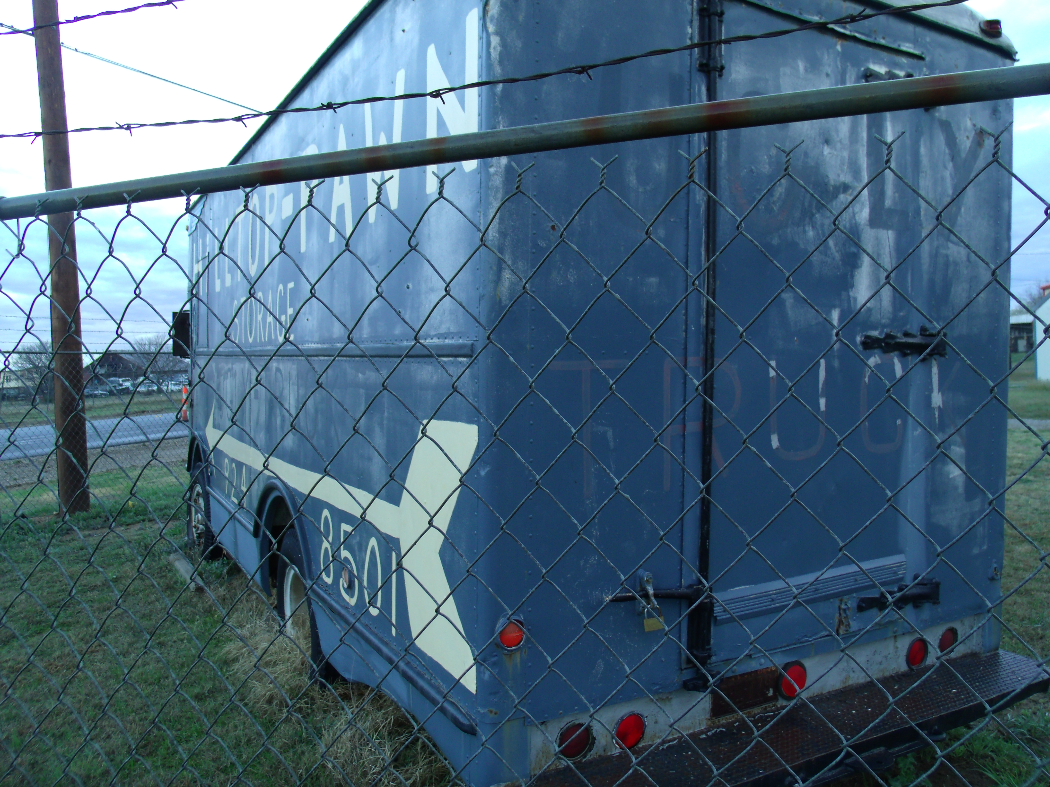
REAR OF FAGEOL VAN
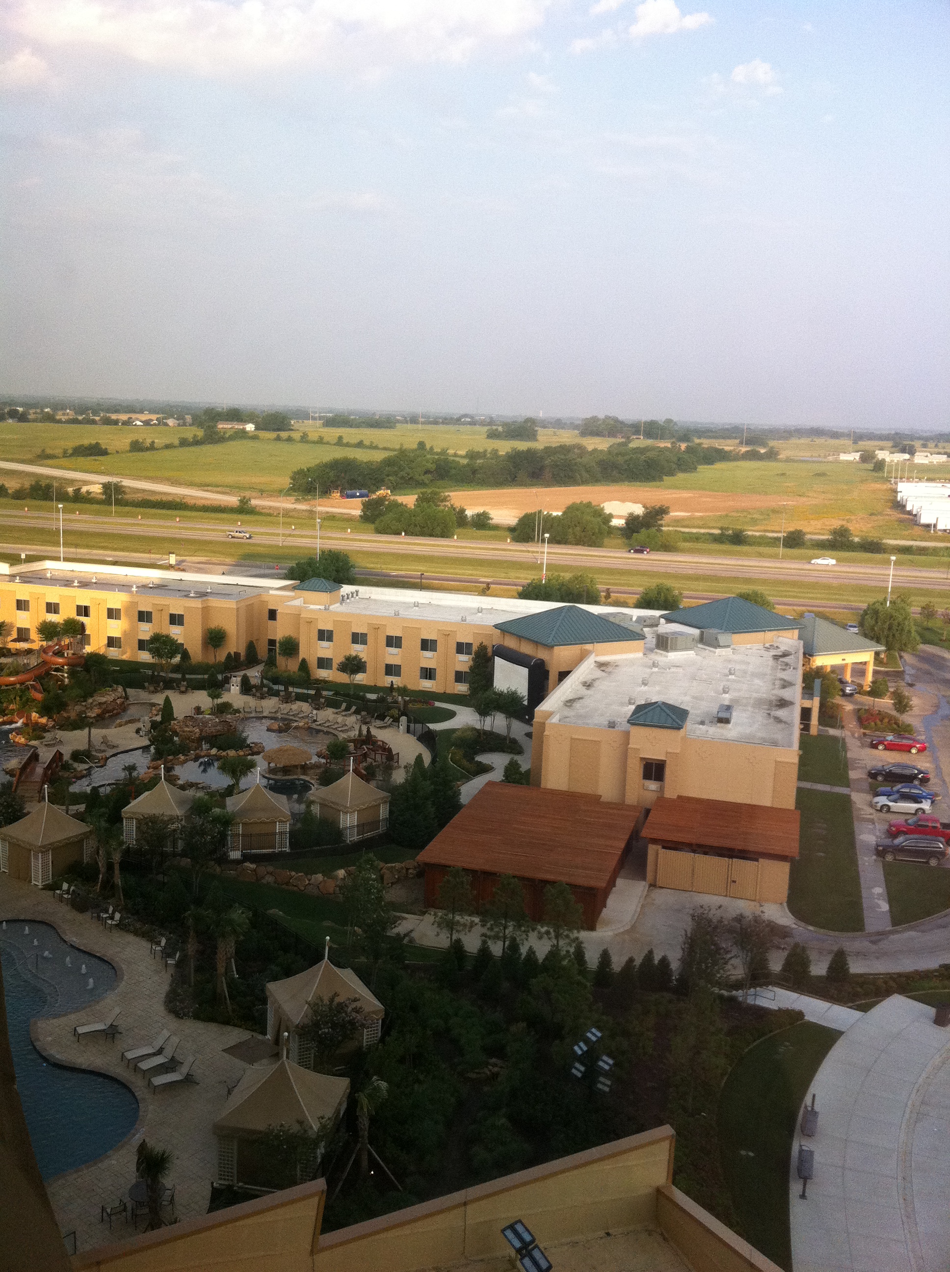
Choctaw Casino and Resort, 05-06 June 2011. A fun mini-vacation to Choctaw Casino in Durant! It was a great, relaxing weekend! The view from the 8th floor!

Water Feature

The Value of a Moment
Making a mountain out of a molehill

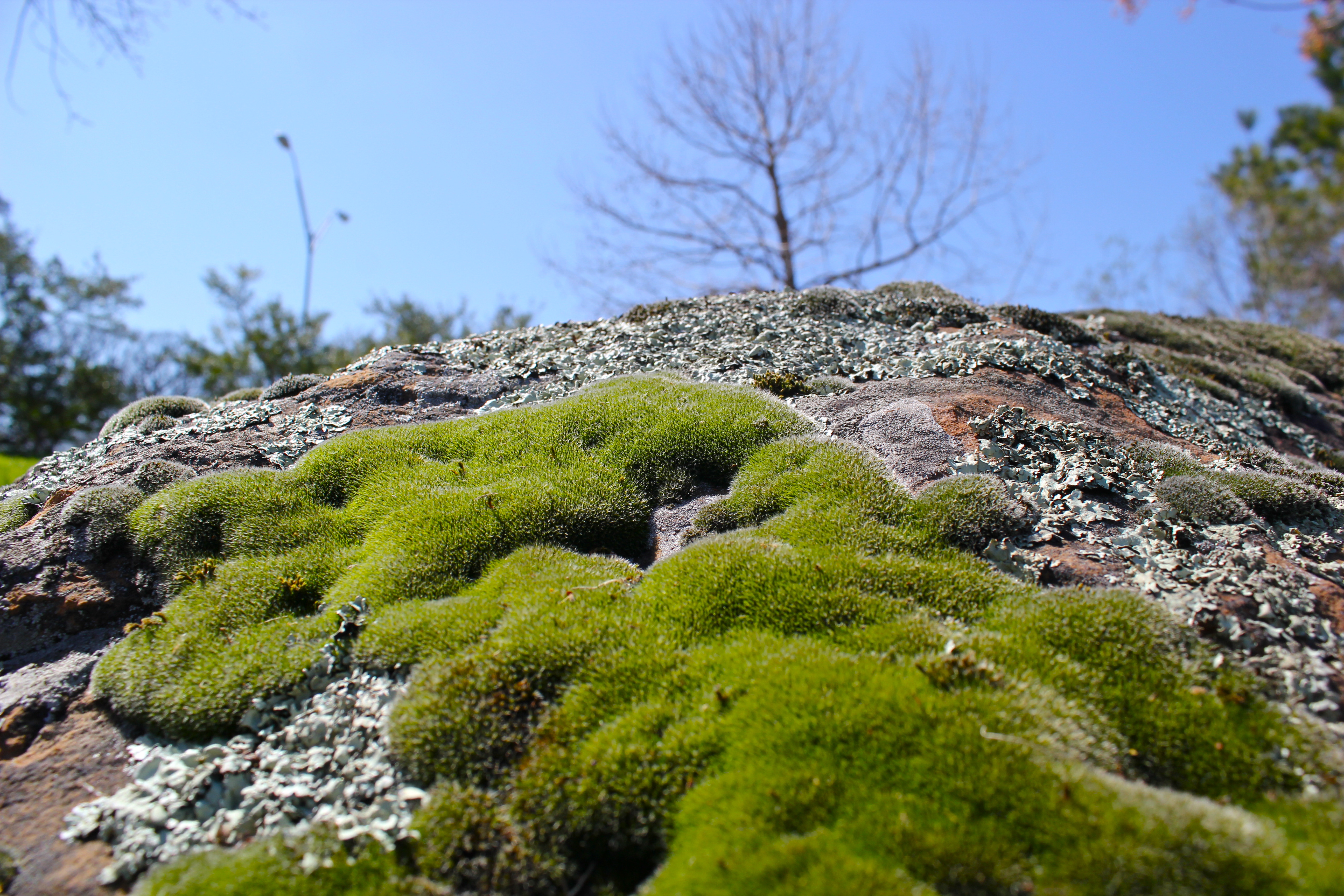
i was a landscape
Spring Has Arrived 2
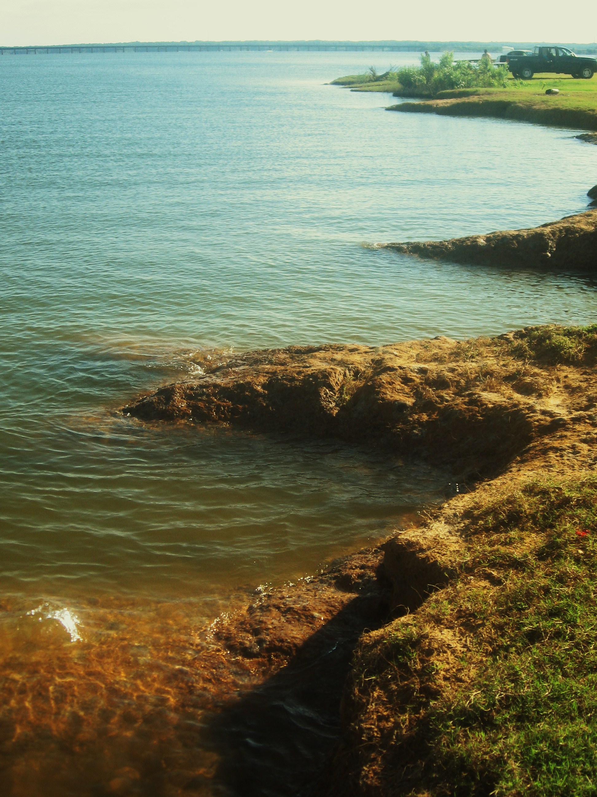
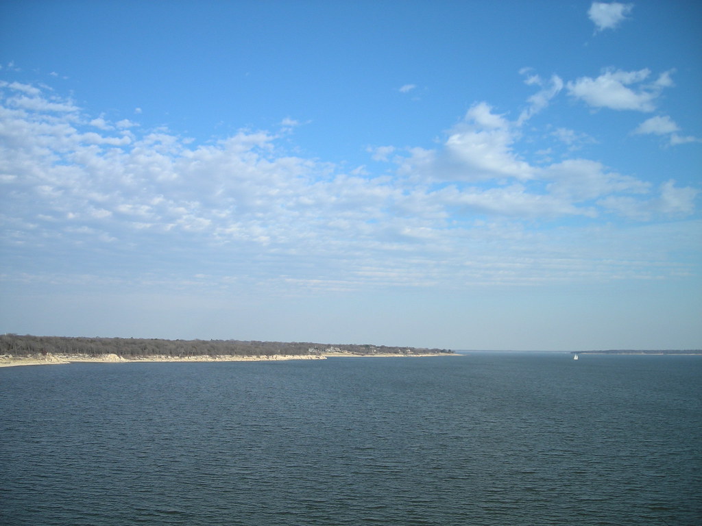
Lake Texoma

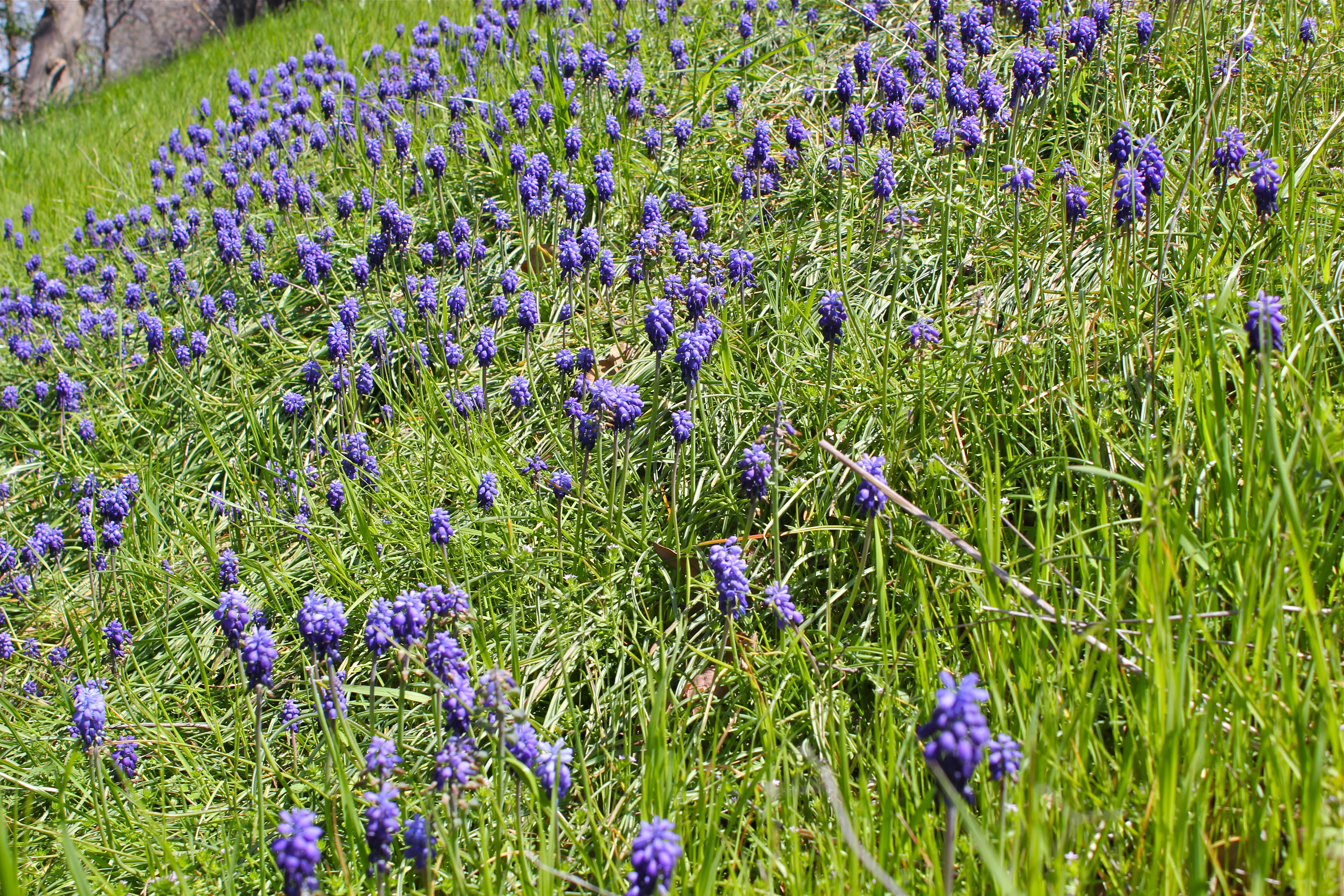
Purple Glory 1
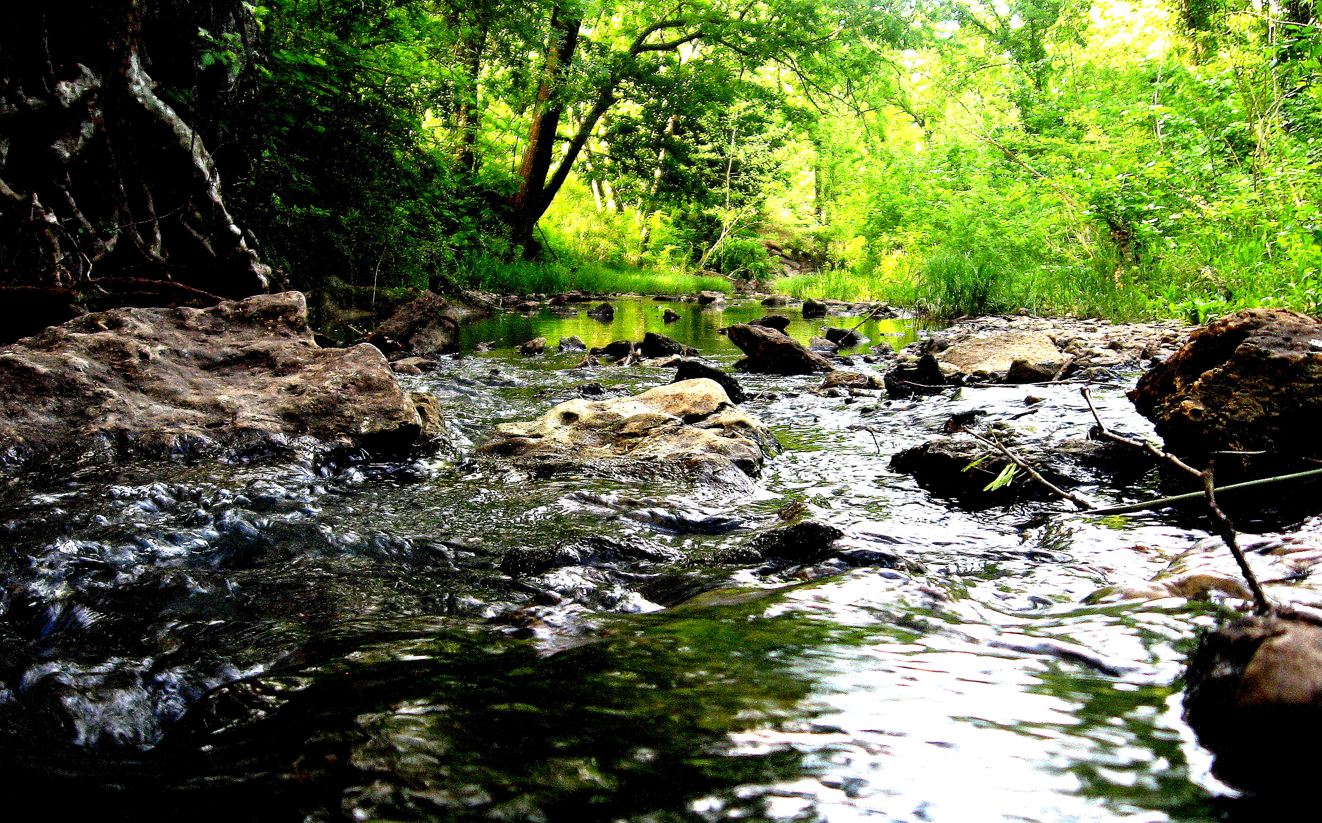
Rushing creek
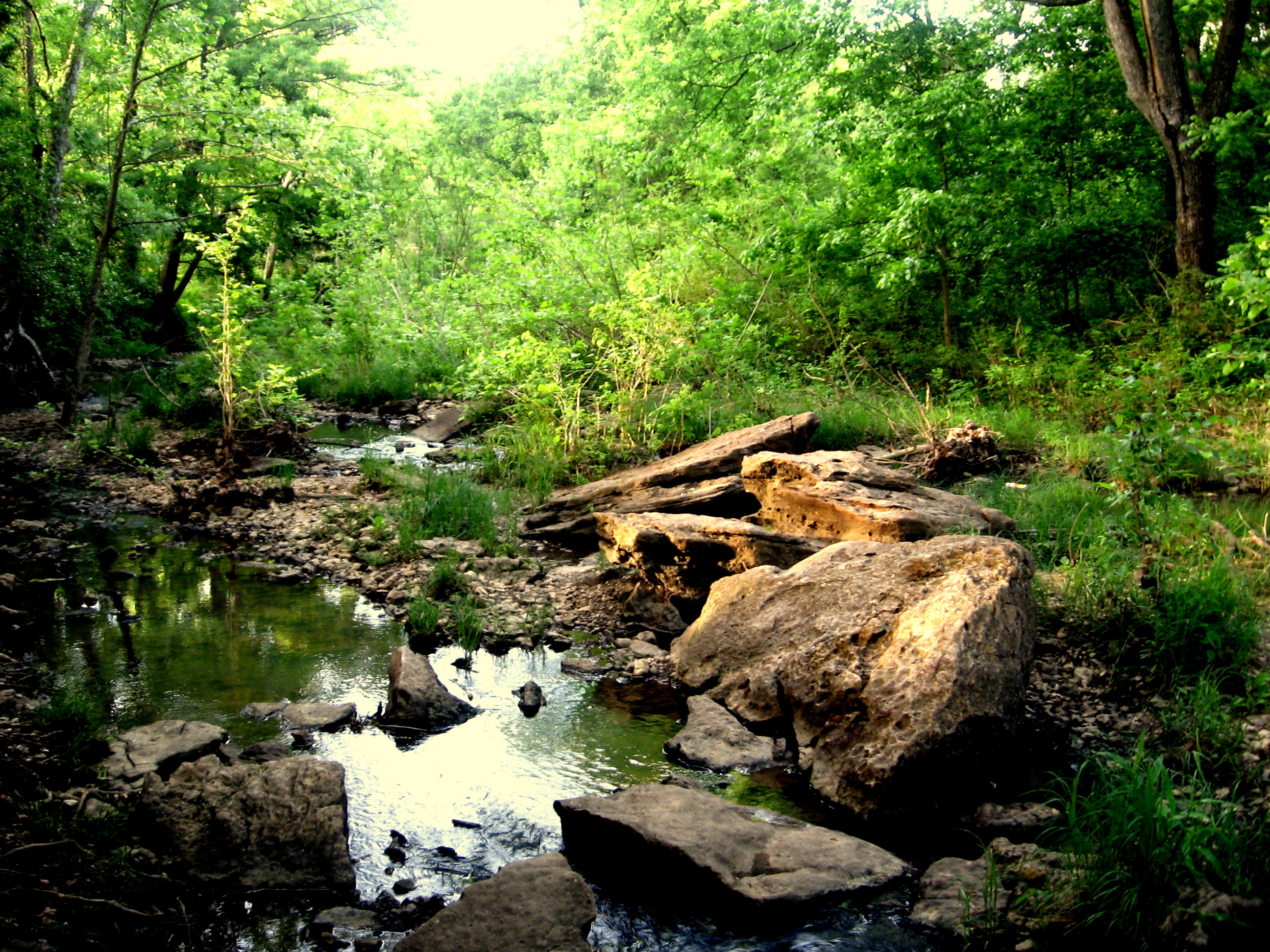
Oklahoma wilderness

Up the Trunk
TRIANGULAR BRANCH

Spring Has Arrived 1
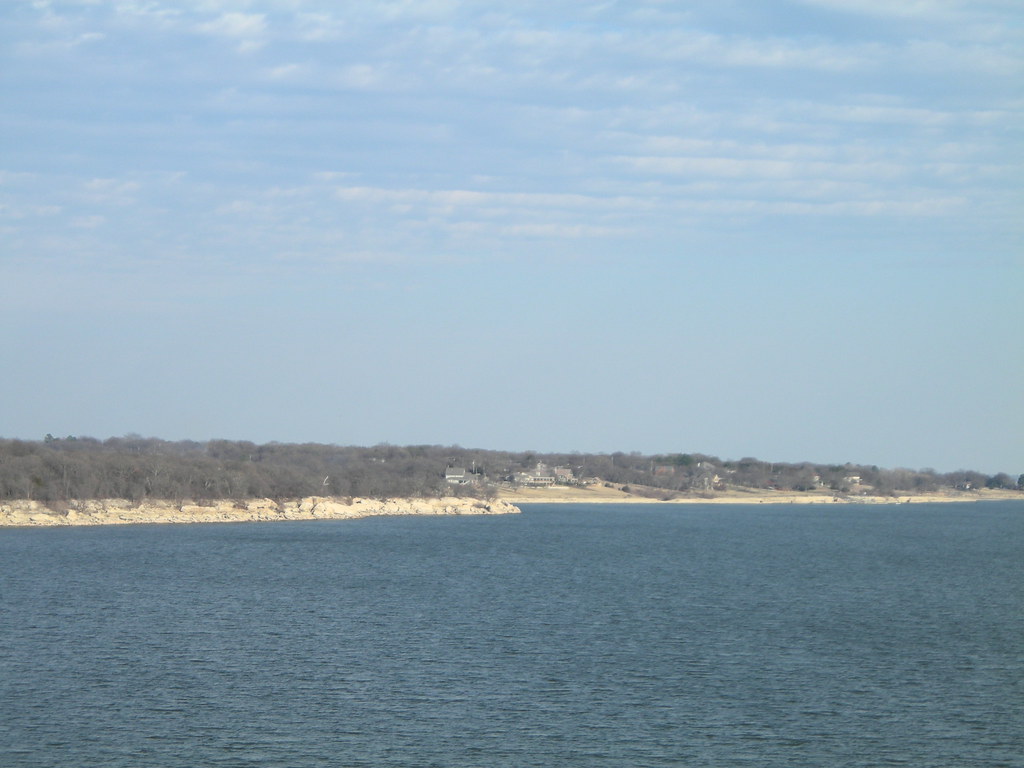
Lake Texoma

Dirty Dandelion 2
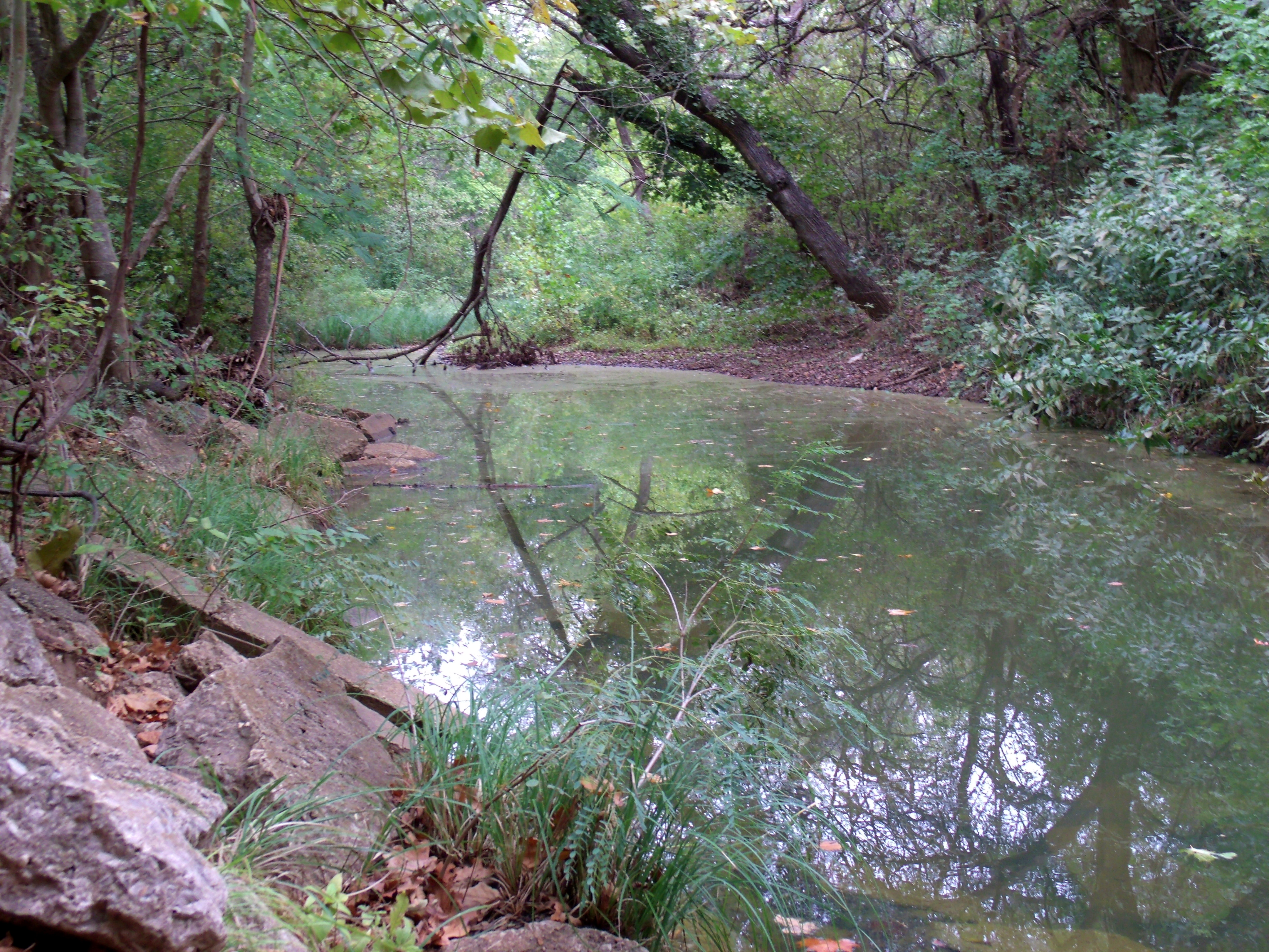
Unfamiliar Shore
Topographic Map of Rd, Durant, OK, USA
Find elevation by address:

Places near Rd, Durant, OK, USA:
10028 Us-70
10028 Us-70
10028 Us-70
Brookhaven
498 Crestview Ln
3011 Kande Ln
Durant
Calera
802 W University Blvd
The Jubilation House
NE 2nd Ave, Durant, OK, USA
Newberry Creek Resort & Marina
62 S Katy Dr, Mead, OK, USA
Scott St, Durant, OK, USA
W Main St, Durant, OK, USA
Caney Creek Rd, Calera, OK, USA
Colbert
7734 Tomahawk Ln
4557 Hidden Path
1616 Winnett Rd
Recent Searches:
- Elevation of Woodland Oak Pl, Thousand Oaks, CA, USA
- Elevation of Brownsdale Rd, Renfrew, PA, USA
- Elevation of Corcoran Ln, Suffolk, VA, USA
- Elevation of Mamala II, Sariaya, Quezon, Philippines
- Elevation of Sarangdanda, Nepal
- Elevation of 7 Waterfall Way, Tomball, TX, USA
- Elevation of SW 57th Ave, Portland, OR, USA
- Elevation of Crocker Dr, Vacaville, CA, USA
- Elevation of Pu Ngaol Community Meeting Hall, HWHM+3X7, Krong Saen Monourom, Cambodia
- Elevation of Royal Ontario Museum, Queens Park, Toronto, ON M5S 2C6, Canada