Elevation of Inca Trail, San Luis, CO, USA
Location: United States > Colorado > San Luis >
Longitude: -105.73409
Latitude: 37.0447418
Elevation: 2311m / 7582feet
Barometric Pressure: 76KPa
Elevation Map:
Satellite Map:
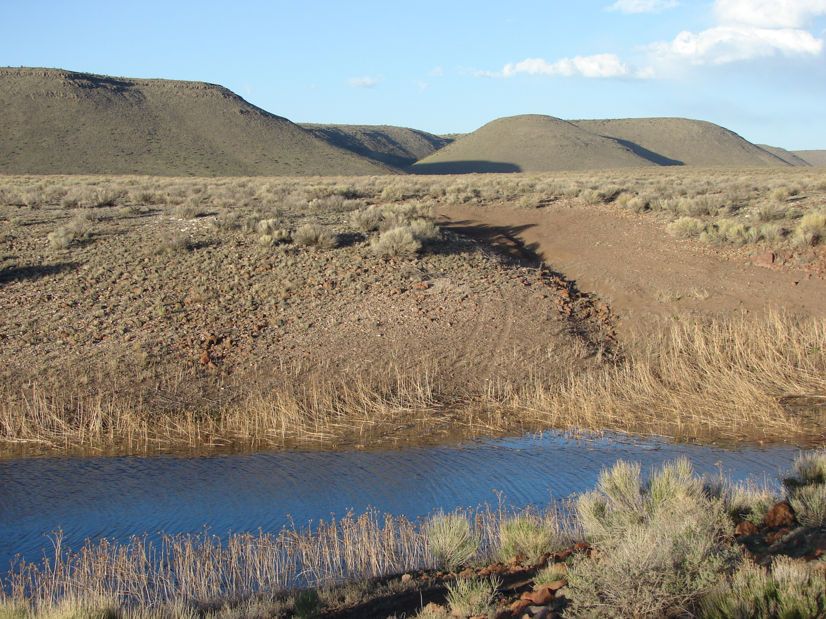
Related Photos:
Downstream View: Lobatos Bridge: Costilla County, Colorado (CO)

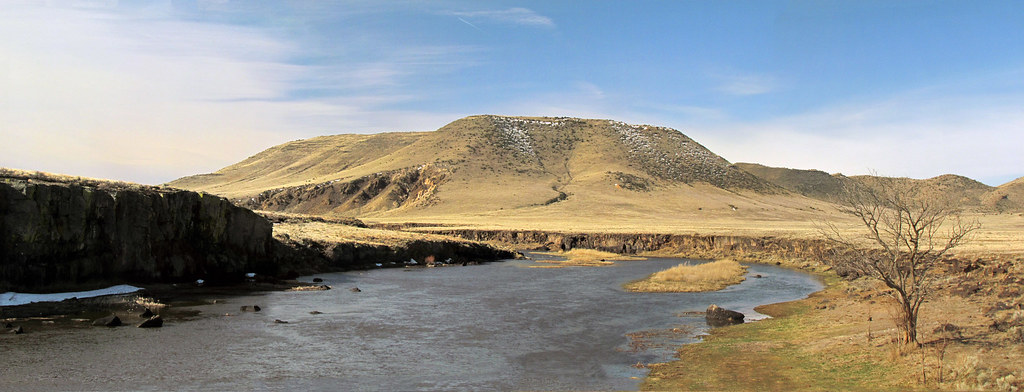
Winding Gorge

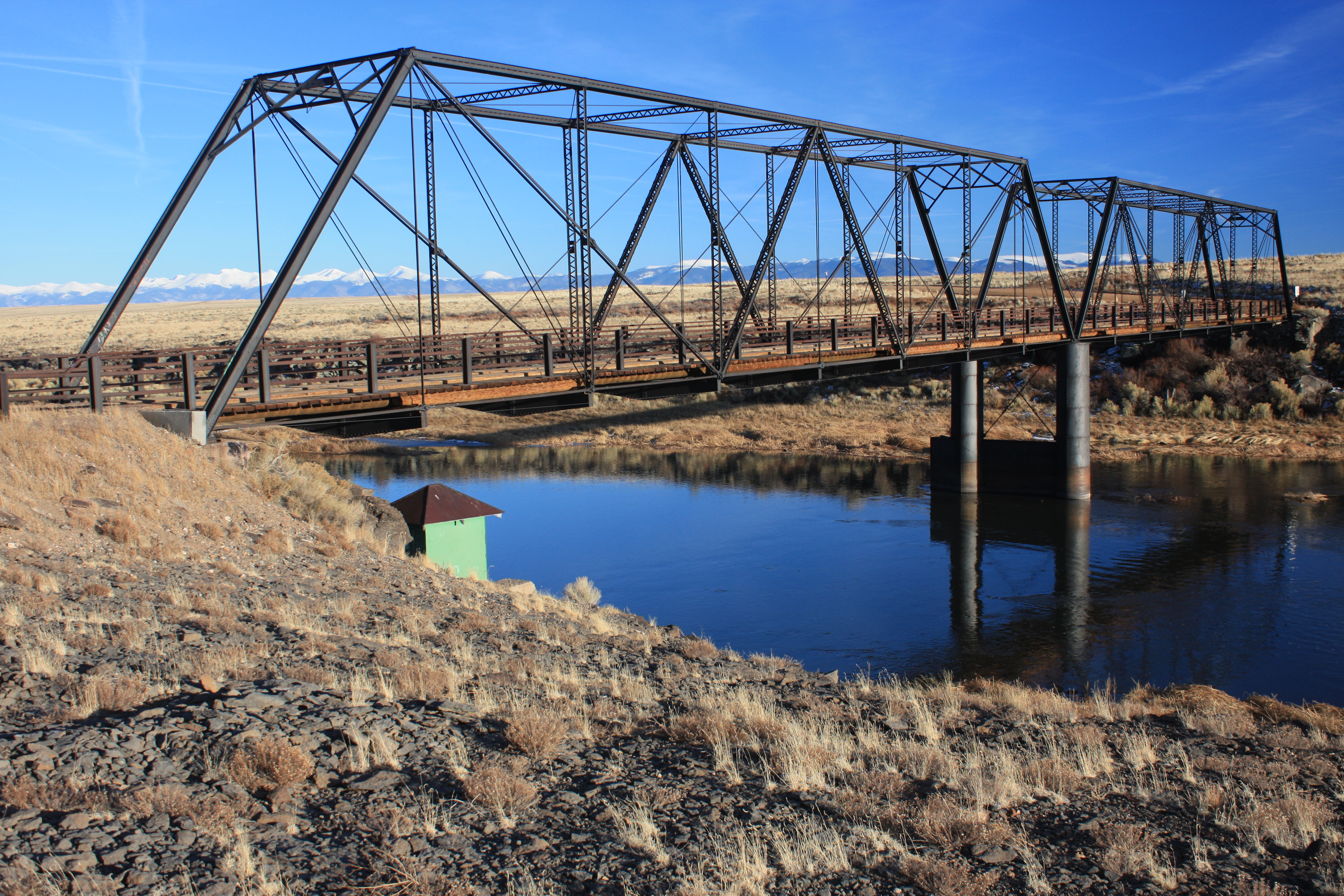
Lobato Bridge
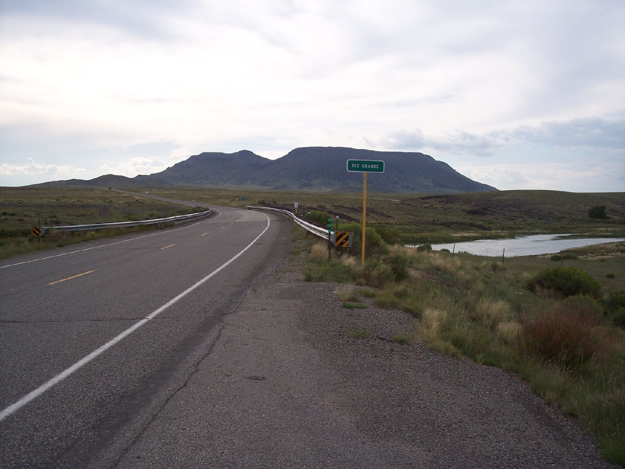
CO 142 at Rio Grande River
Upstream View: Lobatos Bridge: Costilla County, Colorado (CO)
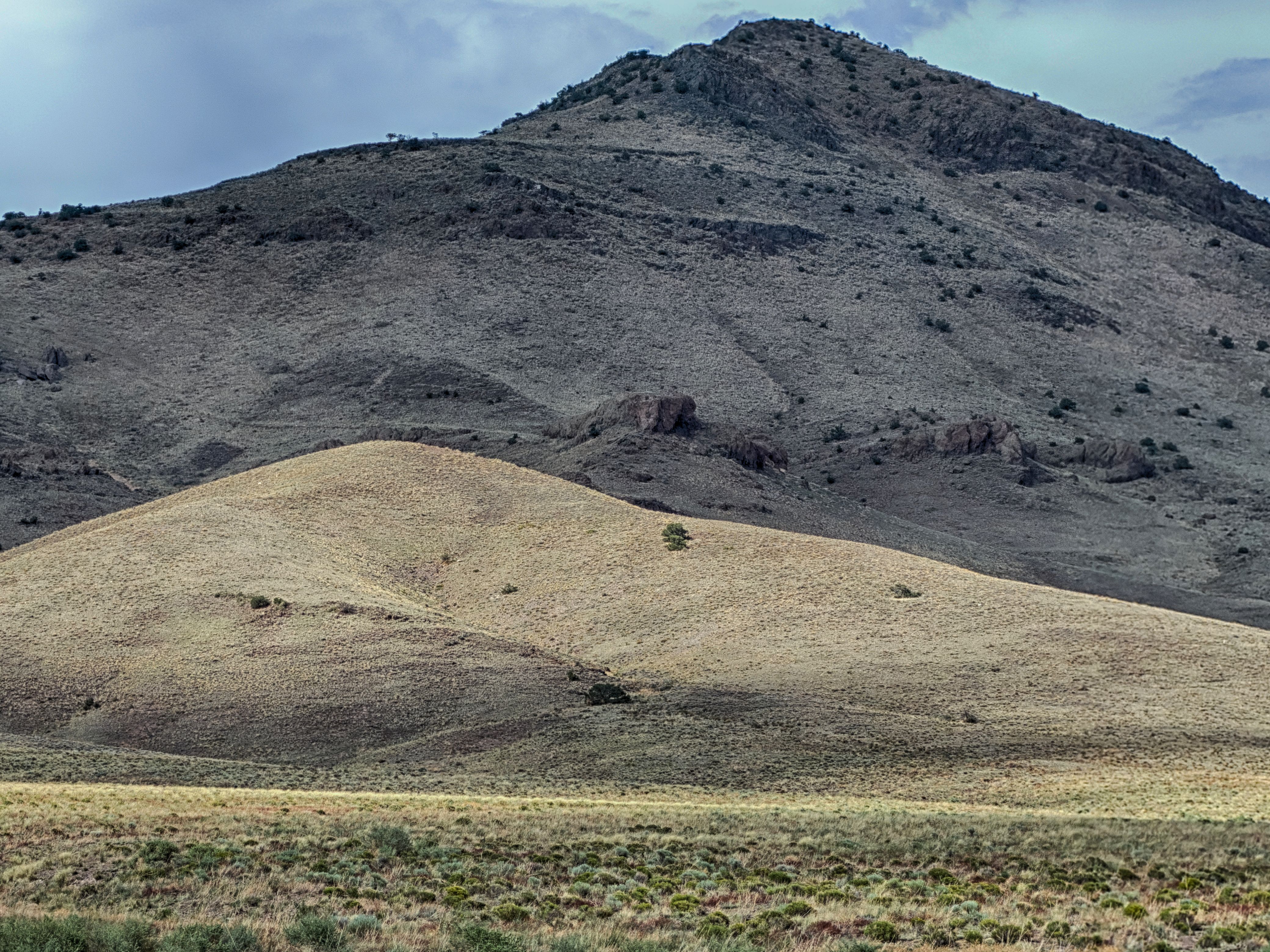
Twin Peaks and Punche Valley from Conical Hill
Culebra Peak and Rio Grande River
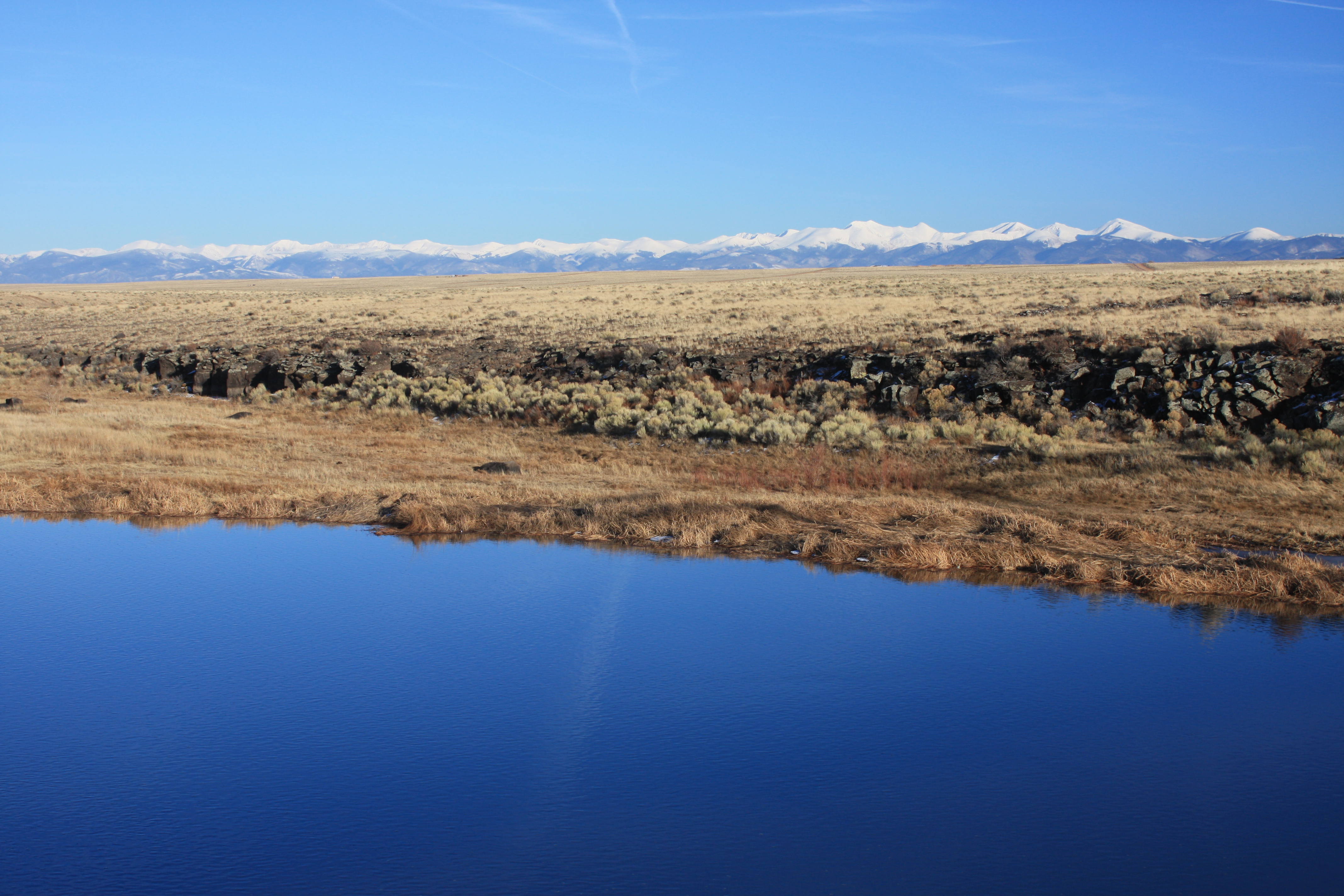
San Luis Valley Landscape Panel 2
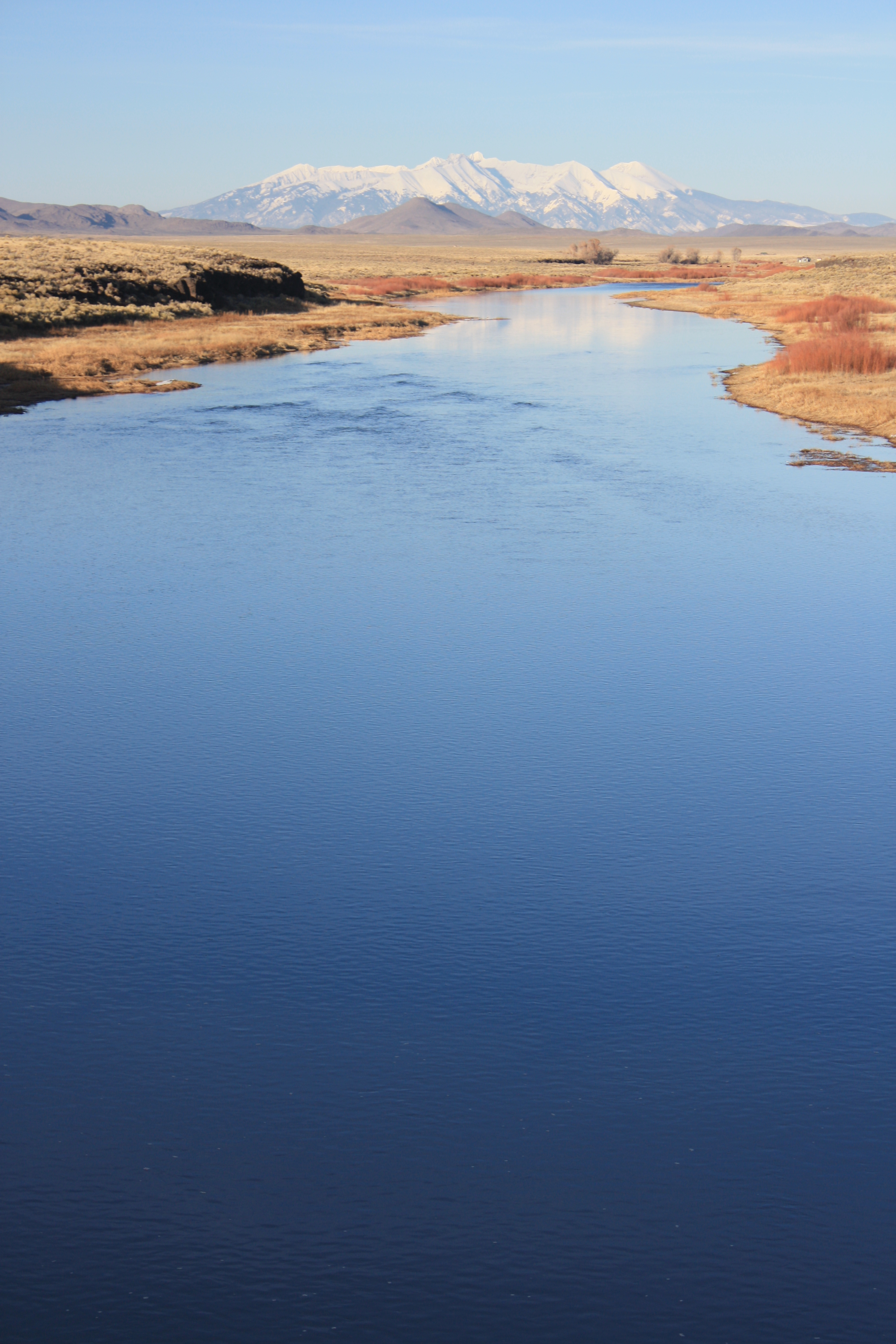
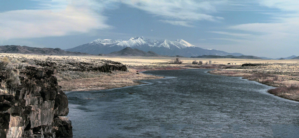
Blanca Peak group and Rio Grande River
Sangre de Cristos and Rio Grande River

Looking North from Costillo Crossing
The Lichen Lookout
Red Barn in Arid Landscape
Benchmark, Dated 1936, atop Twin Peak, with Punche Valley and Blanca Massif in Background
Ute Peak from Twin Peak
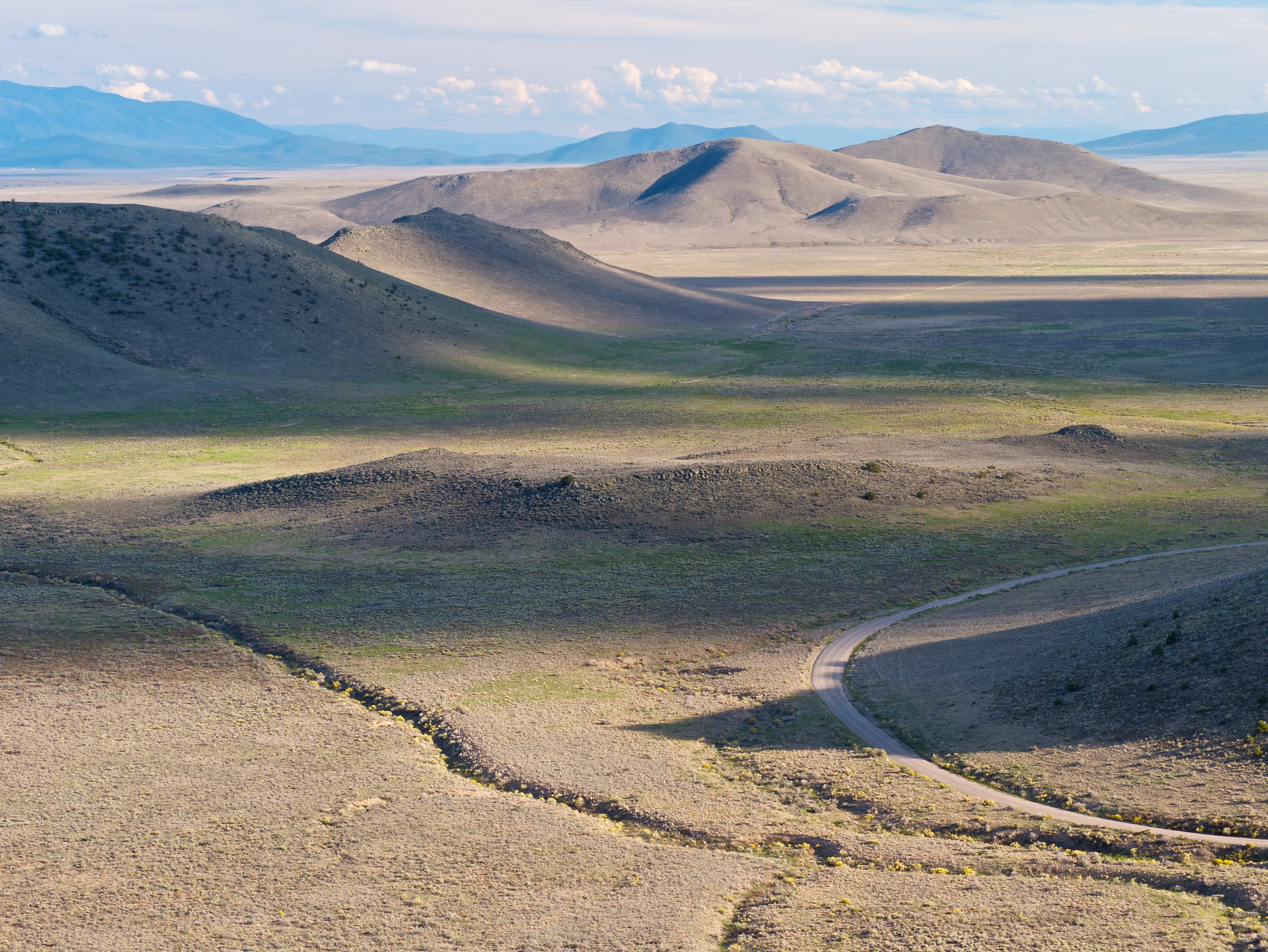
San Luis Valley Landscape
Sego, Punchas, and Conical Hill in the Punche Valley from Twin Peak

Lichen and Friends
Strength in Solitude
El Rio Grande Supremo I
At Cove Lake

Inverted Naked Lava Fractals

San Luis Valley Landscape Panel 1
Topographic Map of Inca Trail, San Luis, CO, USA
Find elevation by address:

Places near Inca Trail, San Luis, CO, USA:
Garcia
Costilla
Co Rd 28, Sanford, CO, USA
Co Rd 17, Antonito, CO, USA
CO-, Sanford, CO, USA
San Acacio
Manassa
N 5th St, Manassa, CO, USA
16852 Bull Elk Trail
16511 Bull Elk Trail #11
County Road 12
66 Latir Rd
County Road 12
5 Latir Rd
Greenleaf St, Sanford, CO, USA
6 Dulcimer Rd
Sanford
77 Latir Rd
Antonito
143 Quintana Rd
Recent Searches:
- Elevation of Jadagoniai, Kaunas District Municipality, Lithuania
- Elevation of Pagonija rock, Kranto 7-oji g. 8"N, Kaunas, Lithuania
- Elevation of Co Rd 87, Jamestown, CO, USA
- Elevation of Tenjo, Cundinamarca, Colombia
- Elevation of Côte-des-Neiges, Montreal, QC H4A 3J6, Canada
- Elevation of Bobcat Dr, Helena, MT, USA
- Elevation of Zu den Ihlowbergen, Althüttendorf, Germany
- Elevation of Badaber, Peshawar, Khyber Pakhtunkhwa, Pakistan
- Elevation of SE Heron Loop, Lincoln City, OR, USA
- Elevation of Slanický ostrov, 01 Námestovo, Slovakia