Elevation of County Road 12, County Rd 12, Sanford, CO, USA
Location: United States > Colorado > Conejos County > Sanford >
Longitude: -105.55700
Latitude: 37.2504012
Elevation: 2364m / 7756feet
Barometric Pressure: 76KPa
Elevation Map:
Satellite Map:
Related Photos:

Bandhara Views 9-12-2011 : DSCN0293

Sangre de Cristo Mountains: San Luis, Colorado (CO)
Blanca Peak and Crestone Peak groups

Shrine of the Stations of the Cross

Bandhara Views 9-12-2011 : DSCN0302

Bandhara Views 9-12-2011 : DSCN0299

Bandhara Views 9-12-2011 : DSCN0297

Bandhara Views 9-12-2011 : DSCN0298

Culebra Peak Reflection

Storm on the horizon

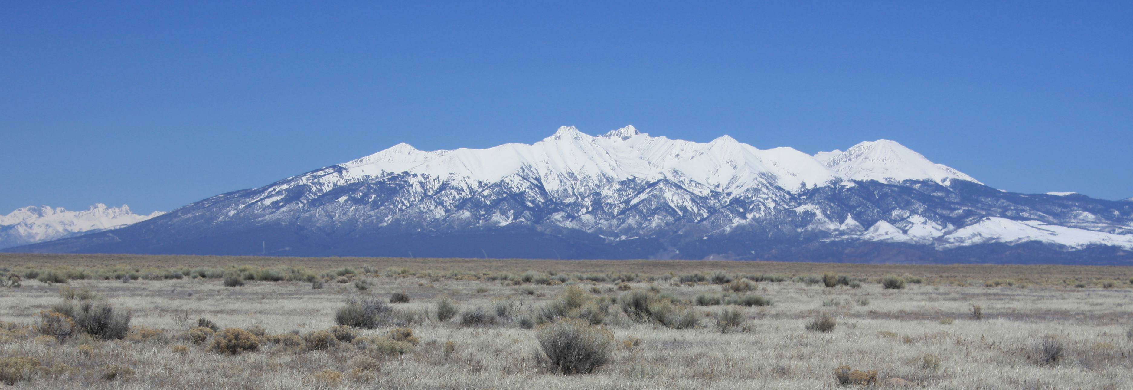
Blanca Peak Group, Colorado
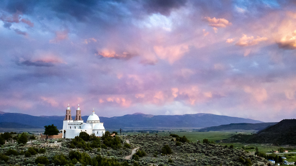
Sunset over Stations of the Cross

Rattlesnake Trestle, Blanca, Colorado
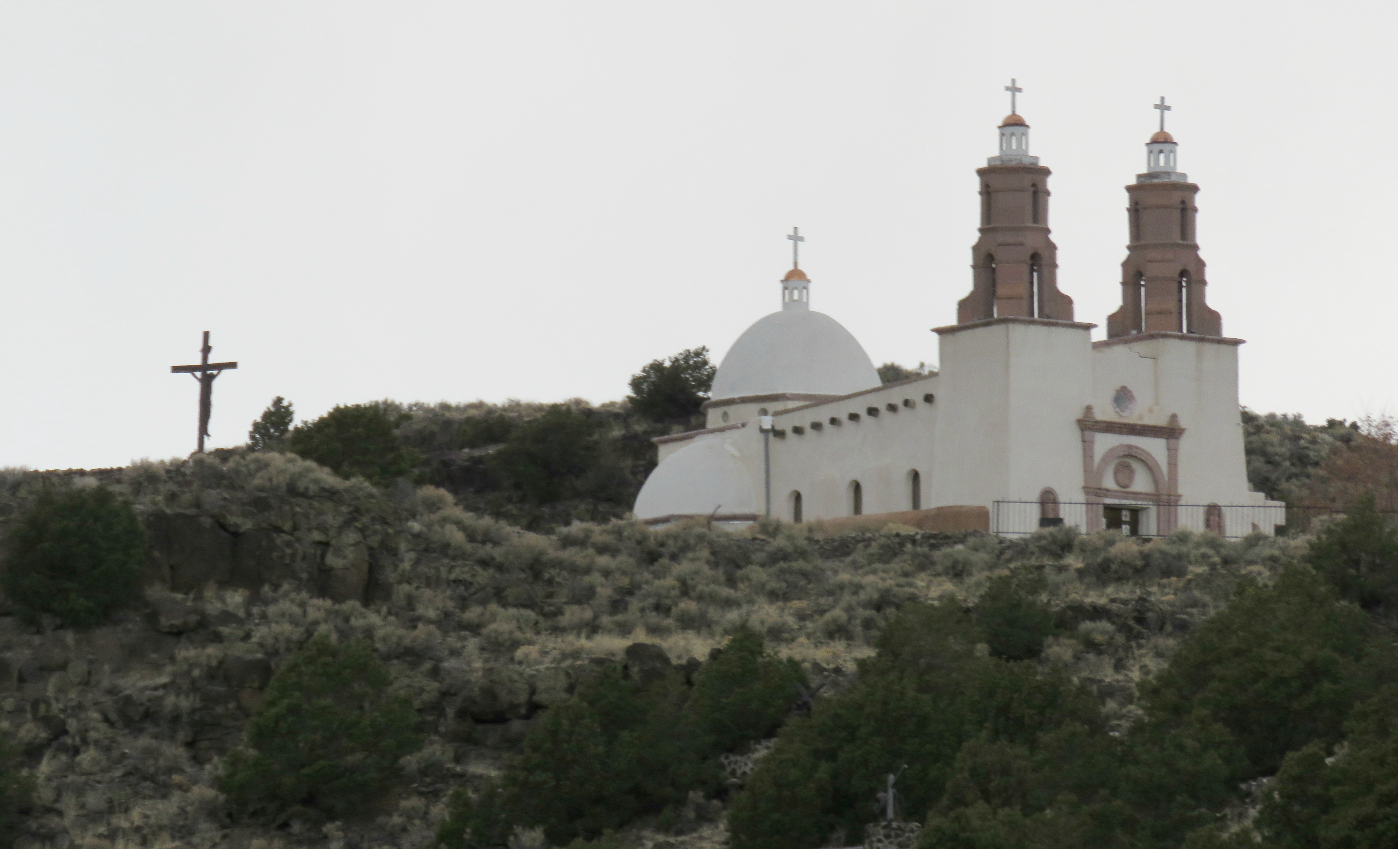
Shrine of the Stations of the Cross

San Luis Valley Landscape

First Station of the Cross: San Luis, Colorado (CO)

Viejo San Acacio, Colorado (CO)

Culebra Peak closeup from C-159

San Luis Valley (San Luis, Colorado)

San Luis Valley (San Luis, Colorado)

Ventero Creek: San Luis, Colorado (CO)

San Luis Valley (Costilla County, Colorado)

San Luis Valley (San Luis, Colorado)

San Luis Valley Southern Railway Trestle

Plaza de San Luis de la Culebra Historic District
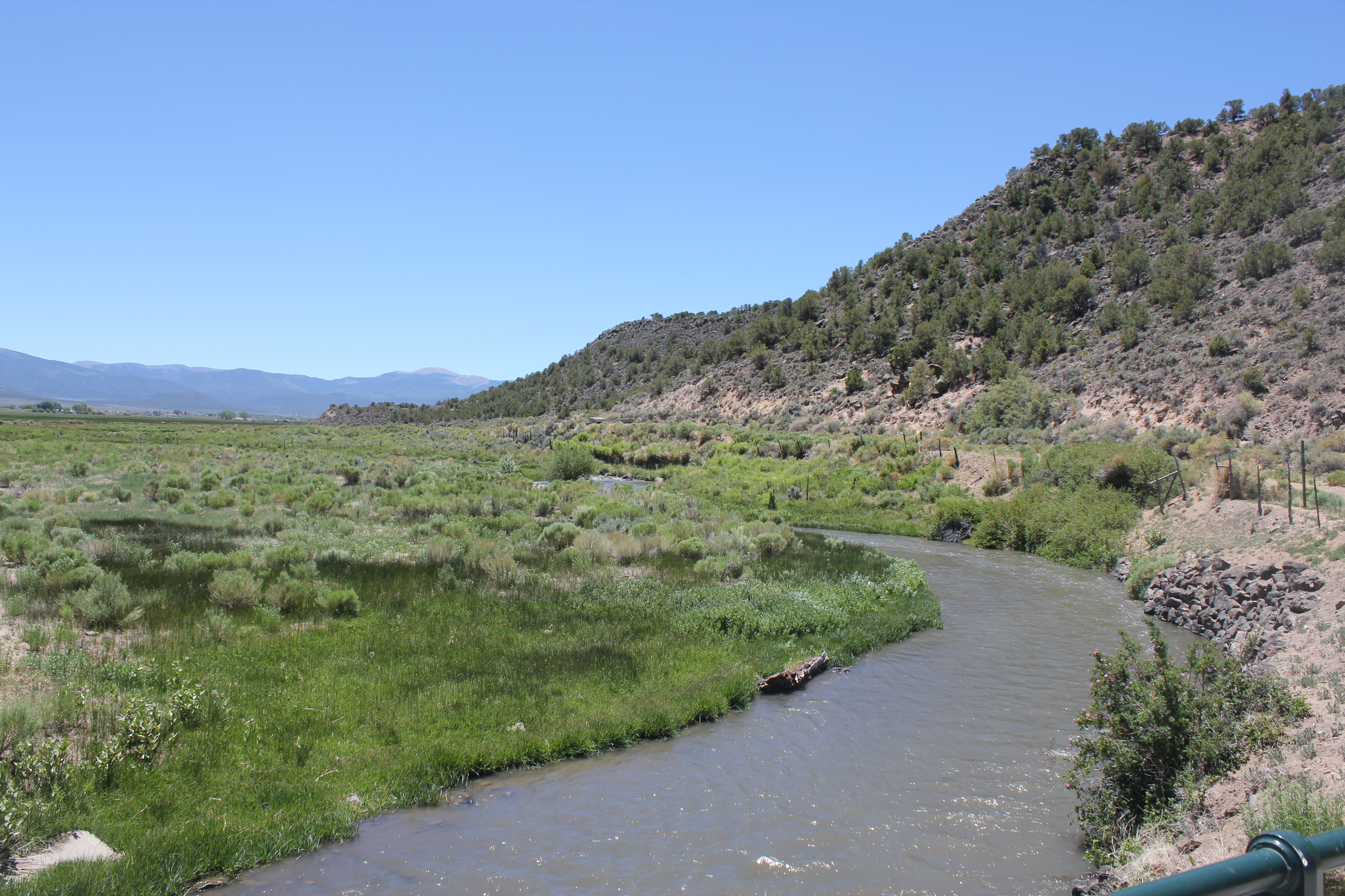
Culebra Creek
Topographic Map of County Road 12, County Rd 12, Sanford, CO, USA
Find elevation by address:

Places near County Road 12, County Rd 12, Sanford, CO, USA:
County Road 12
20037 Co Rd X
San Acacio
CO-, Sanford, CO, USA
Costilla County
Co Rd 28, Sanford, CO, USA
7th St, Blanca, CO, USA
Blanca
Mesita Road
16852 Bull Elk Trail
8th Street
16511 Bull Elk Trail #11
Garcia
2158 Inca Trail
Costilla
Blanca Peak
Twin Peaks
Greenleaf St, Sanford, CO, USA
Sanford
Alamosa East
Recent Searches:
- Elevation of Shibuya Scramble Crossing, 21 Udagawacho, Shibuya City, Tokyo -, Japan
- Elevation of Jadagoniai, Kaunas District Municipality, Lithuania
- Elevation of Pagonija rock, Kranto 7-oji g. 8"N, Kaunas, Lithuania
- Elevation of Co Rd 87, Jamestown, CO, USA
- Elevation of Tenjo, Cundinamarca, Colombia
- Elevation of Côte-des-Neiges, Montreal, QC H4A 3J6, Canada
- Elevation of Bobcat Dr, Helena, MT, USA
- Elevation of Zu den Ihlowbergen, Althüttendorf, Germany
- Elevation of Badaber, Peshawar, Khyber Pakhtunkhwa, Pakistan
- Elevation of SE Heron Loop, Lincoln City, OR, USA