Elevation of IL-, Scheller, IL, USA
Location: United States > Illinois > Jefferson County > Bald Hill Township > Scheller >
Longitude: -89.045106
Latitude: 38.1403893
Elevation: 141m / 463feet
Barometric Pressure: 100KPa
Elevation Map:
Satellite Map:
Related Photos:
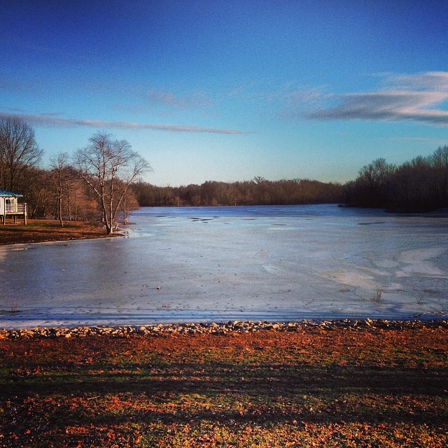
View outside our cabin at Rend Lake
ROAD TRIP
View from a rest stop

And tomorrow should be a nice day.

Rend Lake rendering

August 18, 2012

August 18, 2012
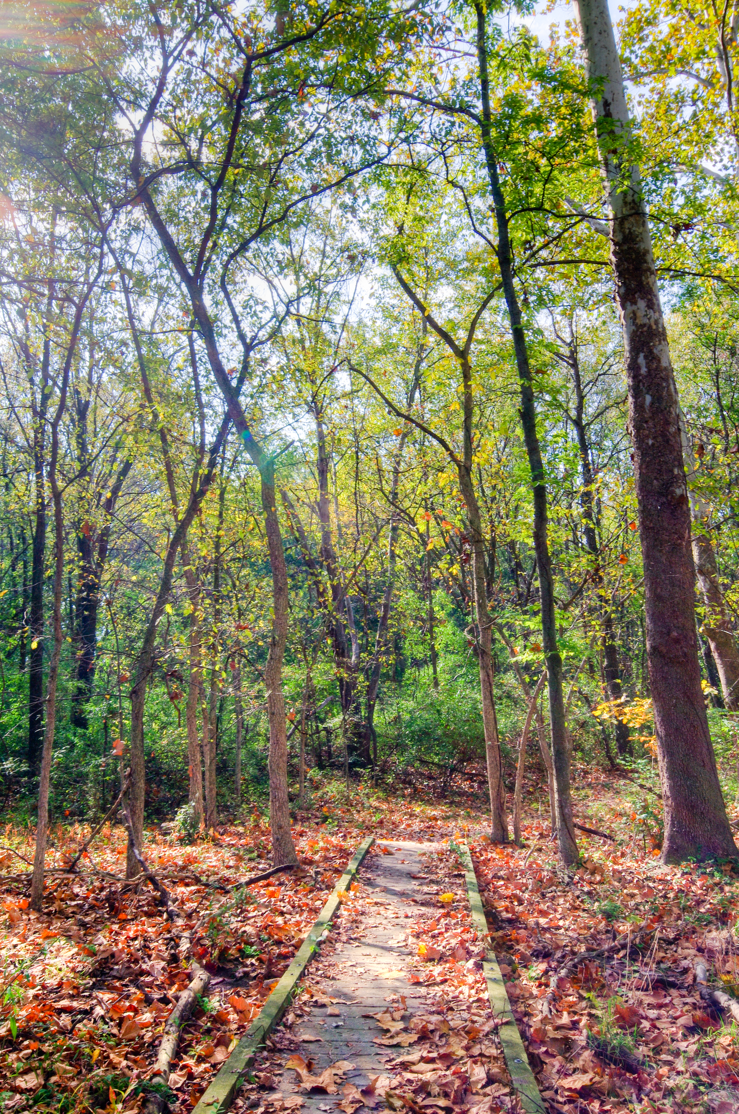
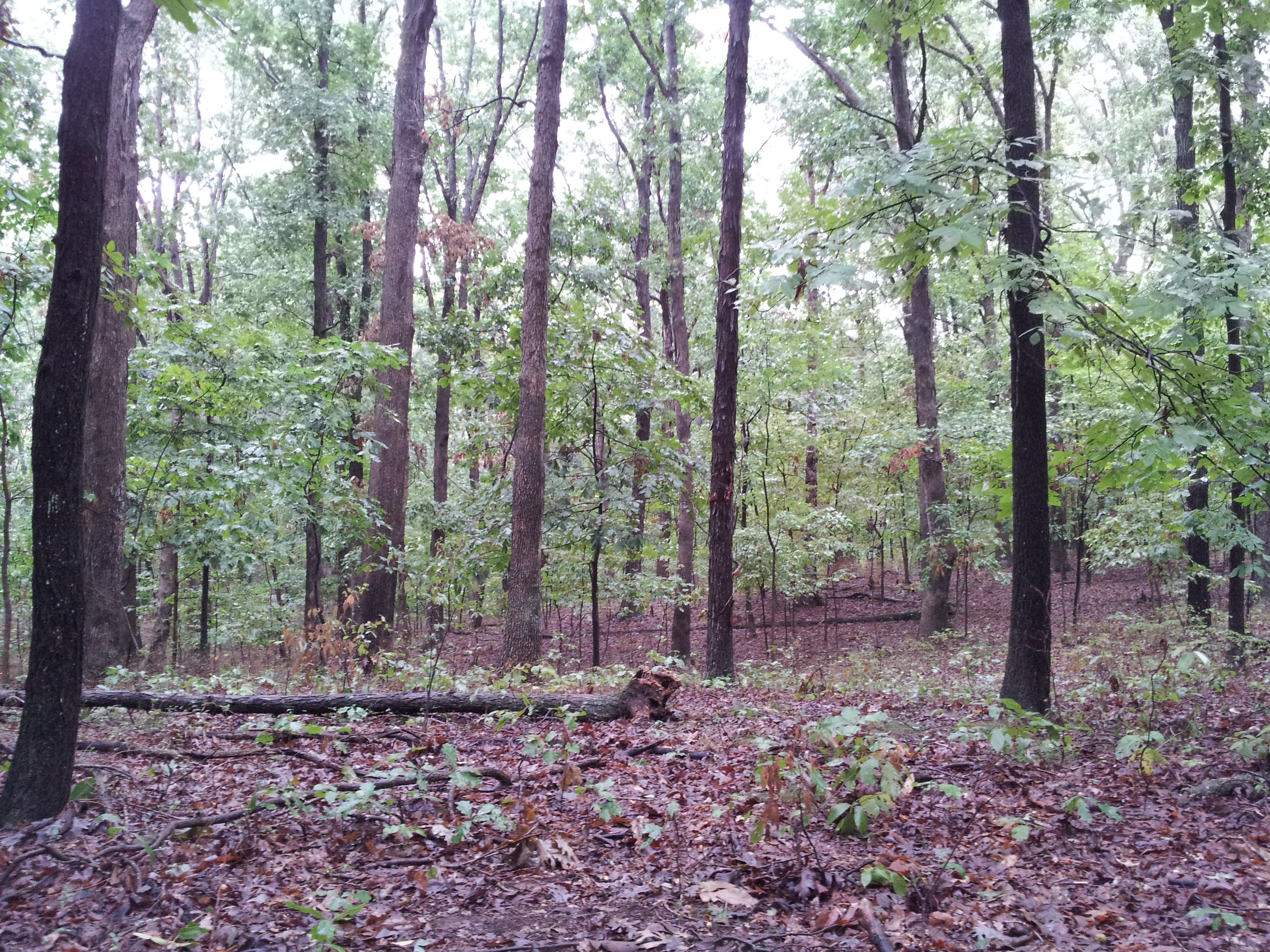
Blackberry Trail
Possibility #58: Penelope at Rend Lake 07272014
Blackberry Trail
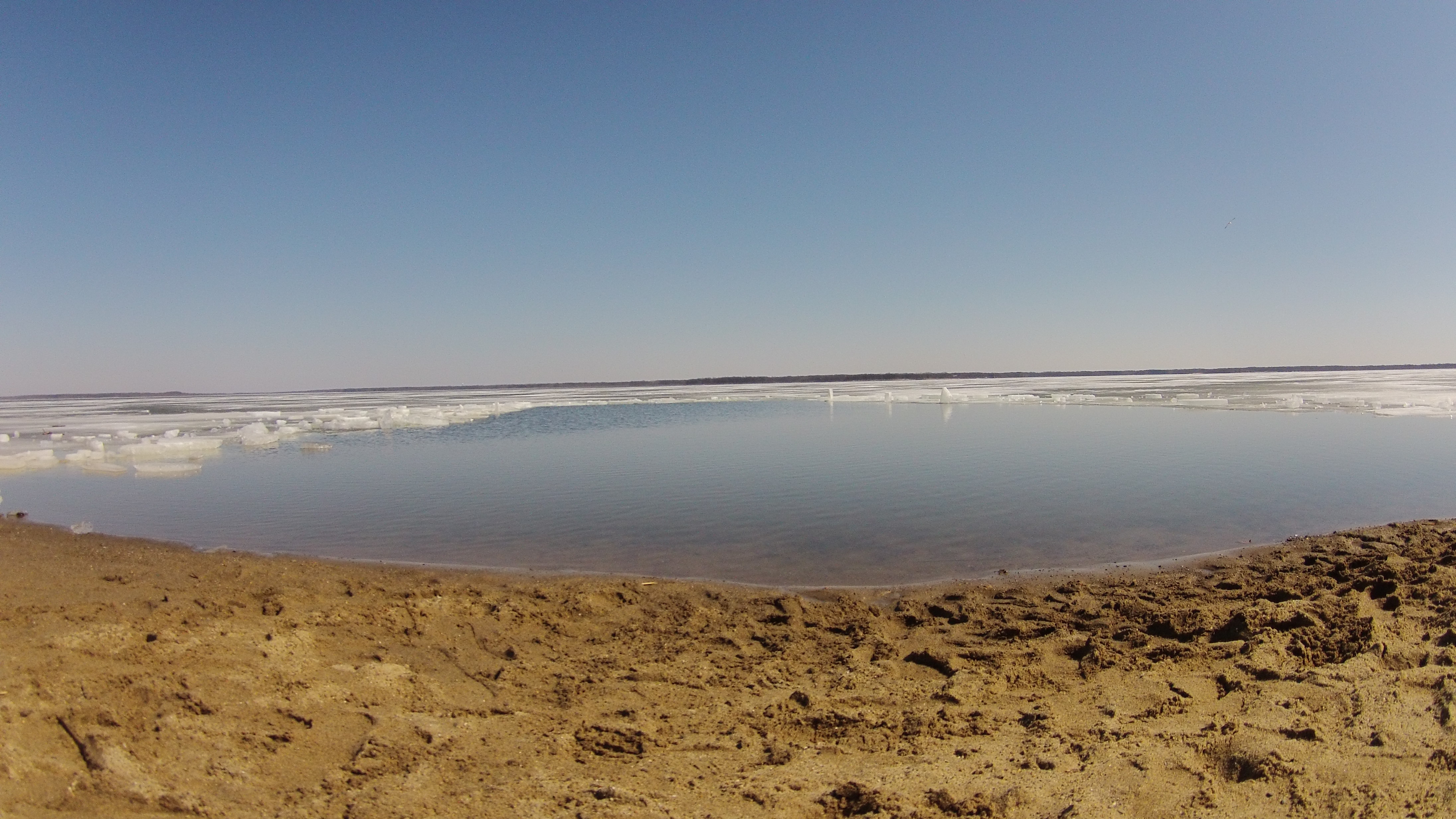
2015RendPlunge-WS470
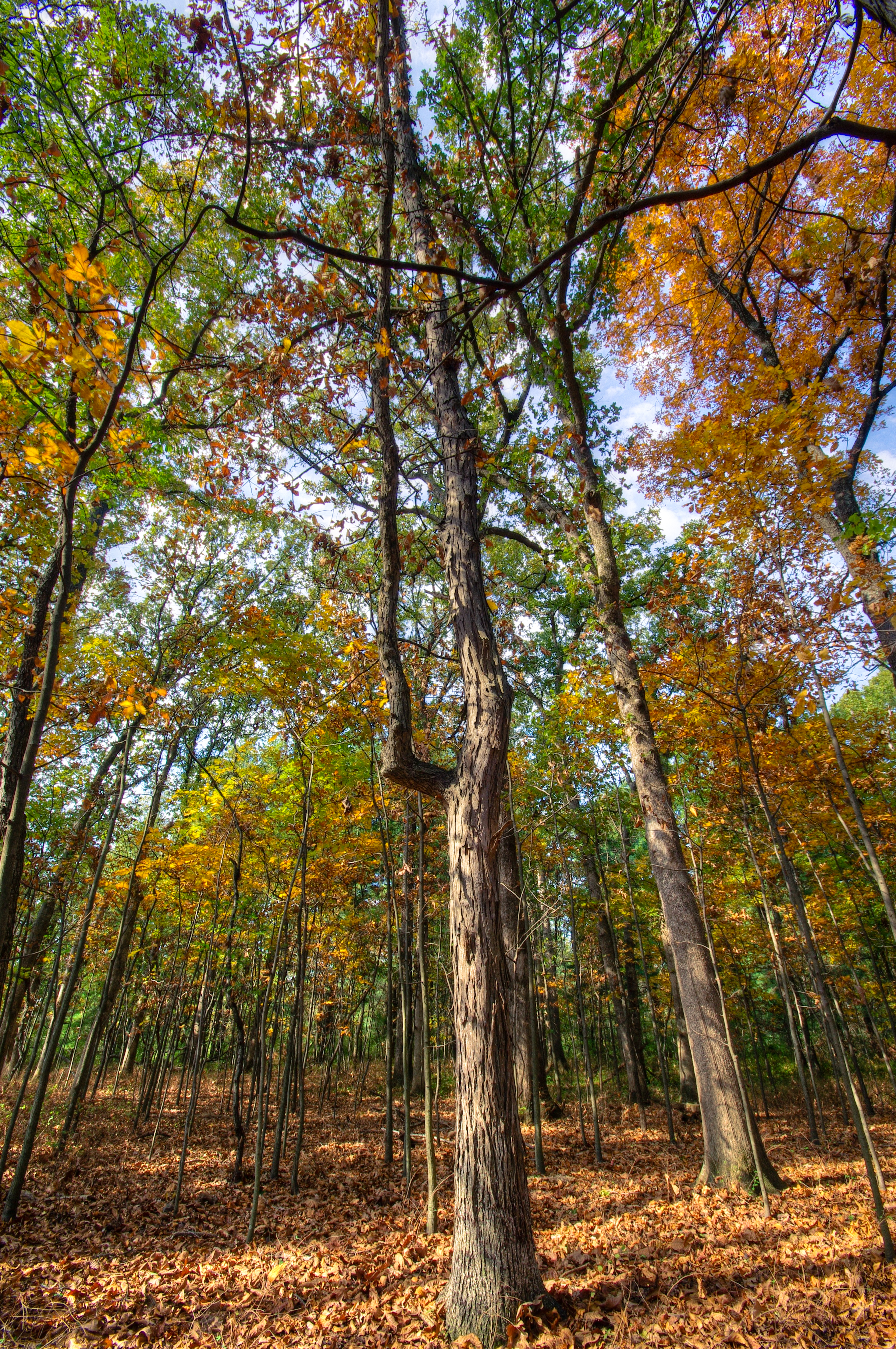
The Woods
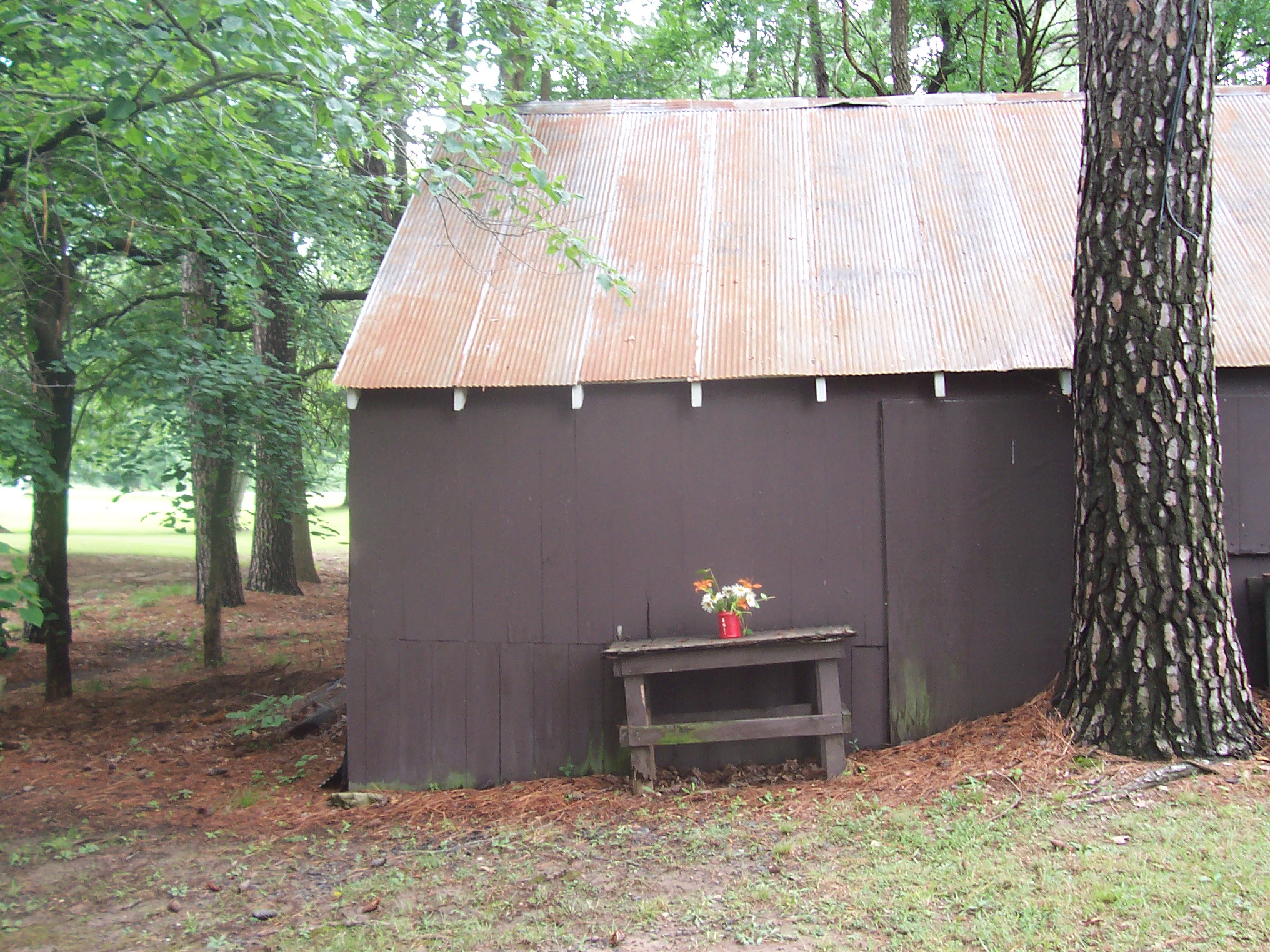
Floral Arangment

Blackberry Trail
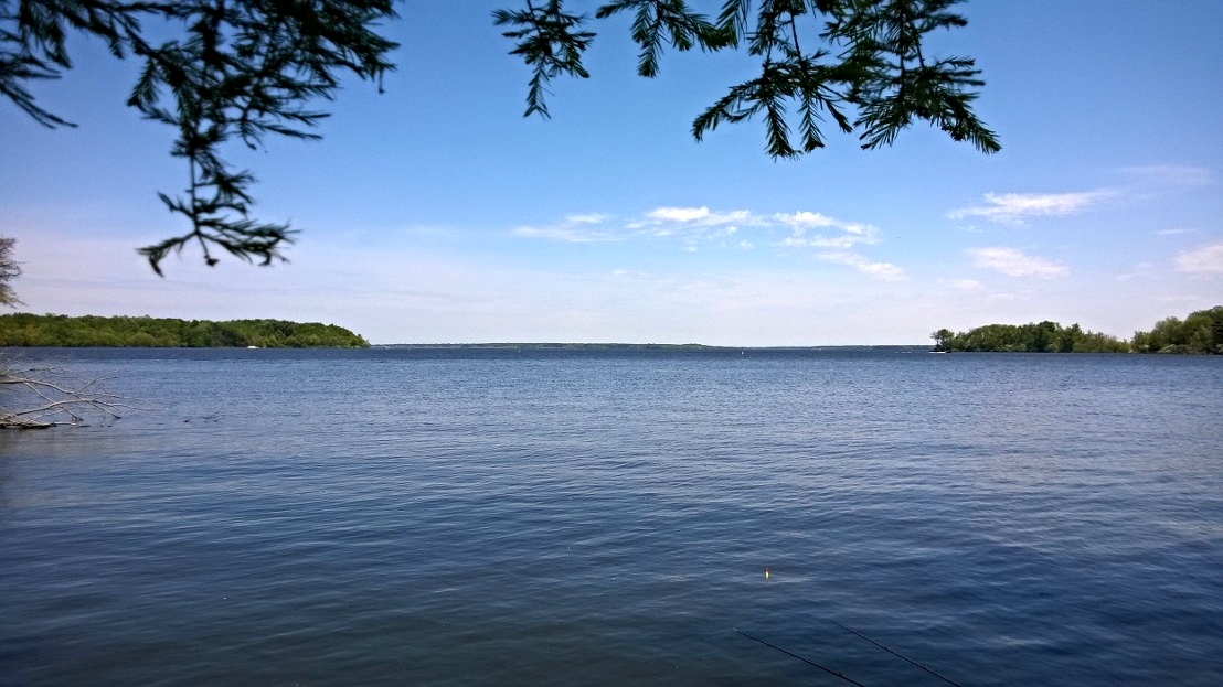
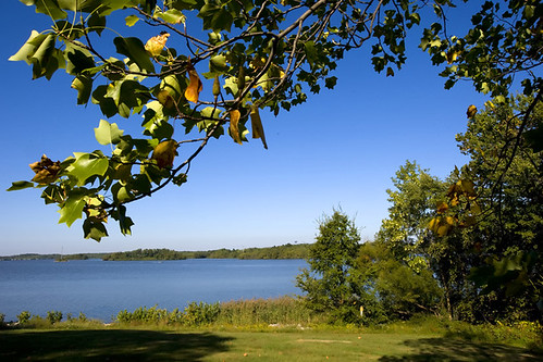
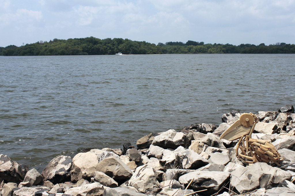
Rend Lake in Illinois

Rend Lake in Illinois
MOGA 2011 261.JPG
MOGA 2011 258.JPG
MOGA 2011 229.JPG

Ben & Jenna's Wedding

Beautiful light on the drive back to Carbondale today. #southernillinois #sky #nofilter #landscape

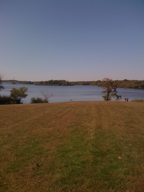
Rend Lake
Topographic Map of IL-, Scheller, IL, USA
Find elevation by address:

Places near IL-, Scheller, IL, USA:
Bald Hill Township
Elk Prairie Township
Scheller
Waltonville
Main St, Waltonville, IL, USA
E Jefferson Pl, Nason, IL, USA
Nason
4th St, Benton, IL, USA
Mcclellan Township
Gelston St, Valier, IL, USA
Valier
203 N Oak St
Ina
Main St, Coello, IL, USA
N Nason Ln, Mt Vernon, IL, USA
13257 Il-37
Browning Township
W 3rd St, Bonnie, IL, USA
Bonnie
Tyrone Township
Recent Searches:
- Elevation of Congressional Dr, Stevensville, MD, USA
- Elevation of Bellview Rd, McLean, VA, USA
- Elevation of Stage Island Rd, Chatham, MA, USA
- Elevation of Shibuya Scramble Crossing, 21 Udagawacho, Shibuya City, Tokyo -, Japan
- Elevation of Jadagoniai, Kaunas District Municipality, Lithuania
- Elevation of Pagonija rock, Kranto 7-oji g. 8"N, Kaunas, Lithuania
- Elevation of Co Rd 87, Jamestown, CO, USA
- Elevation of Tenjo, Cundinamarca, Colombia
- Elevation of Côte-des-Neiges, Montreal, QC H4A 3J6, Canada
- Elevation of Bobcat Dr, Helena, MT, USA