Elevation of Gelston St, Valier, IL, USA
Location: United States > Illinois > Franklin County > Tyrone Township > Valier >
Longitude: -89.041324
Latitude: 38.0156495
Elevation: 139m / 456feet
Barometric Pressure: 100KPa
Elevation Map:
Satellite Map:
Related Photos:
Franklin County Courthouse, Benton, IL
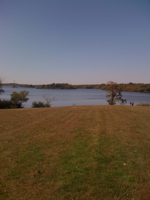
View outside our cabin at Rend Lake
Benton Station

Illinois Central Depot? Benton, IL
Benton Depot with Railroad
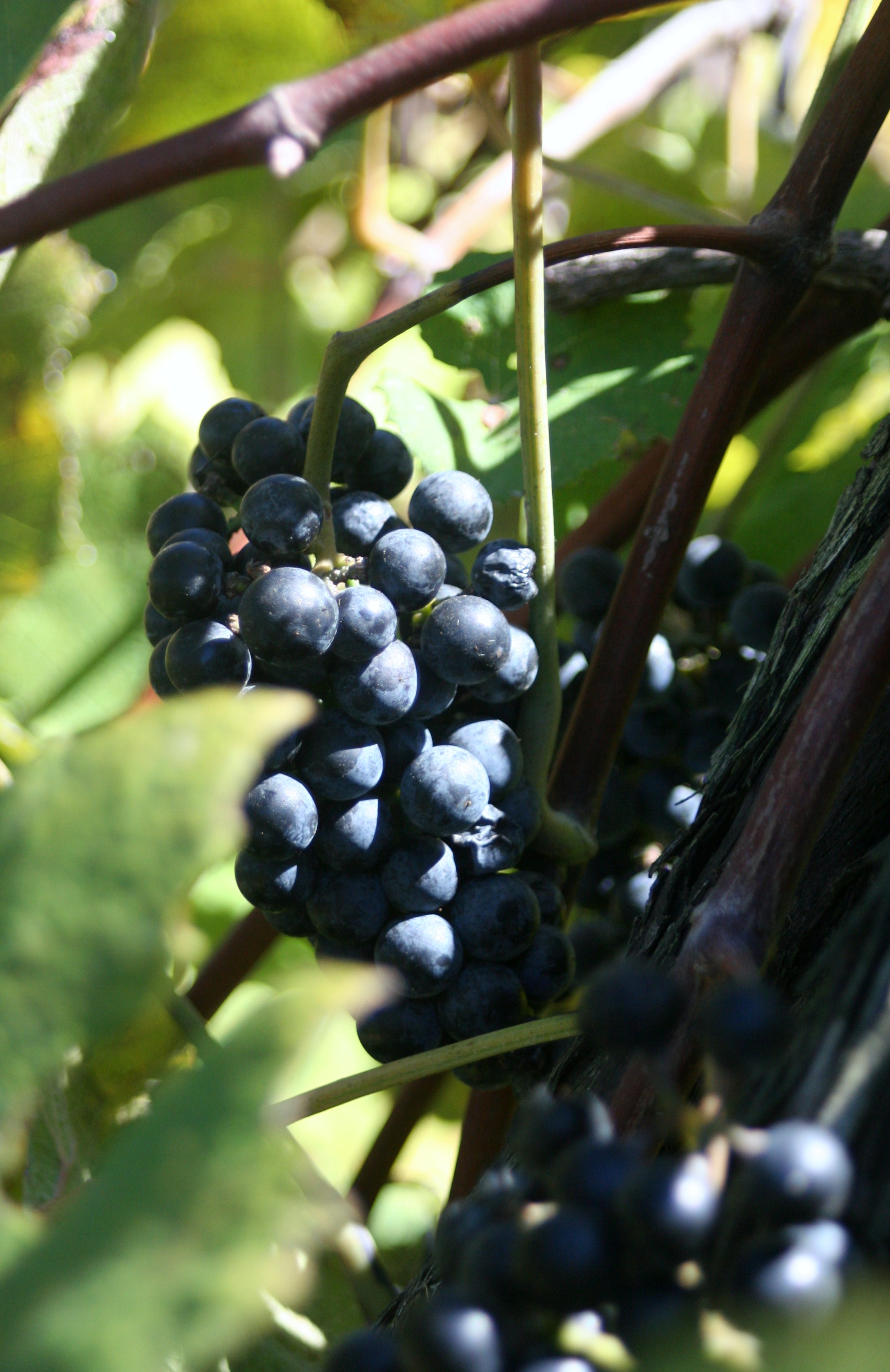
Star View Winery
ROAD TRIP
View from a rest stop
2007-10-07-Benton_RendLake-48
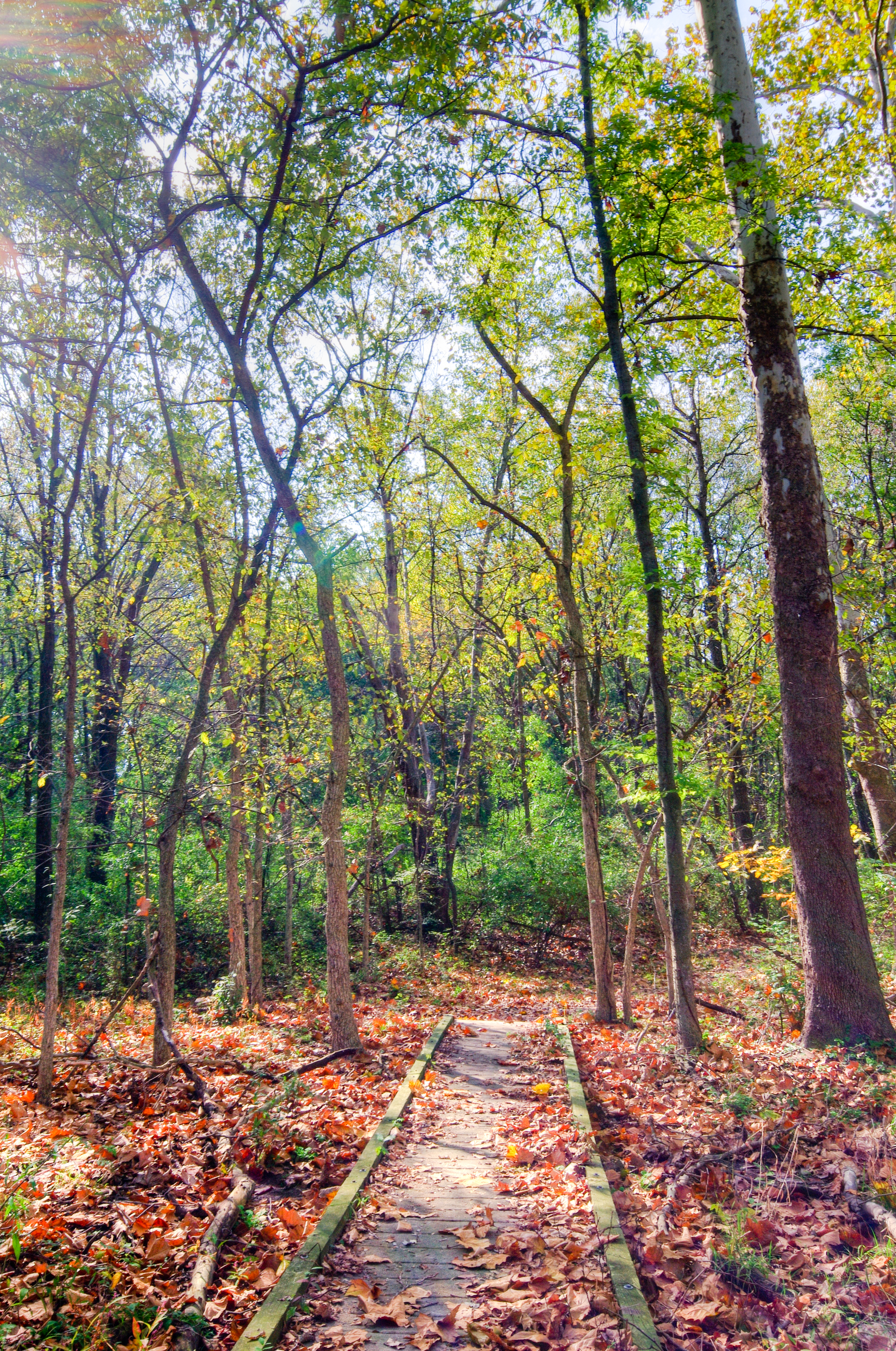
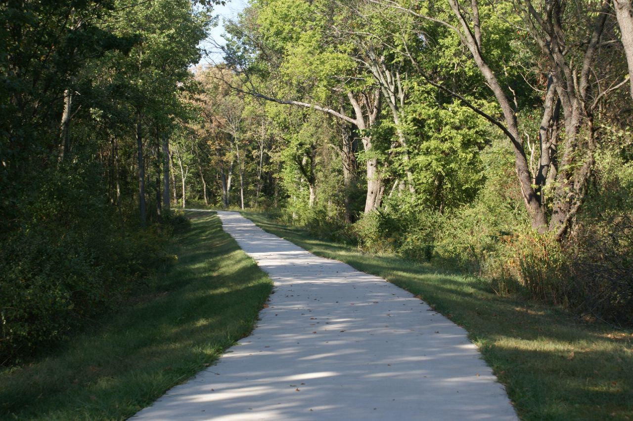
Blackberry Trail
2007-10-07-Benton_RendLake-78
2007-10-07-Benton_RendLake-61
2007-10-07-Benton_RendLake-46
2007-10-07-Benton_RendLake-14
Blackberry Trail

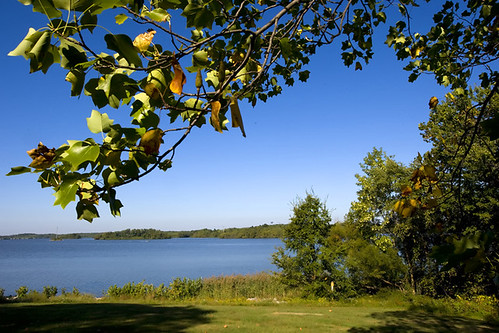
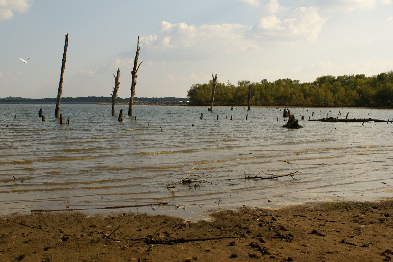
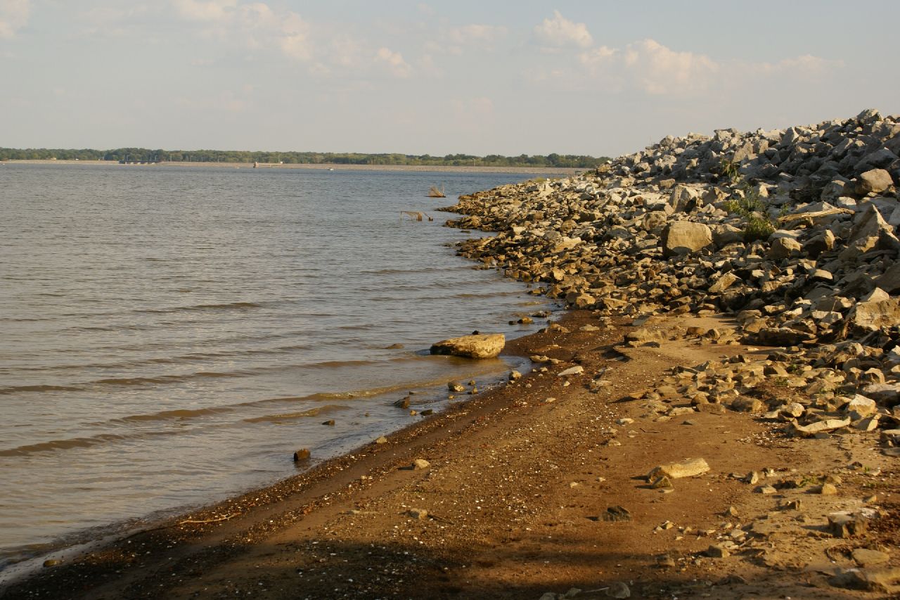
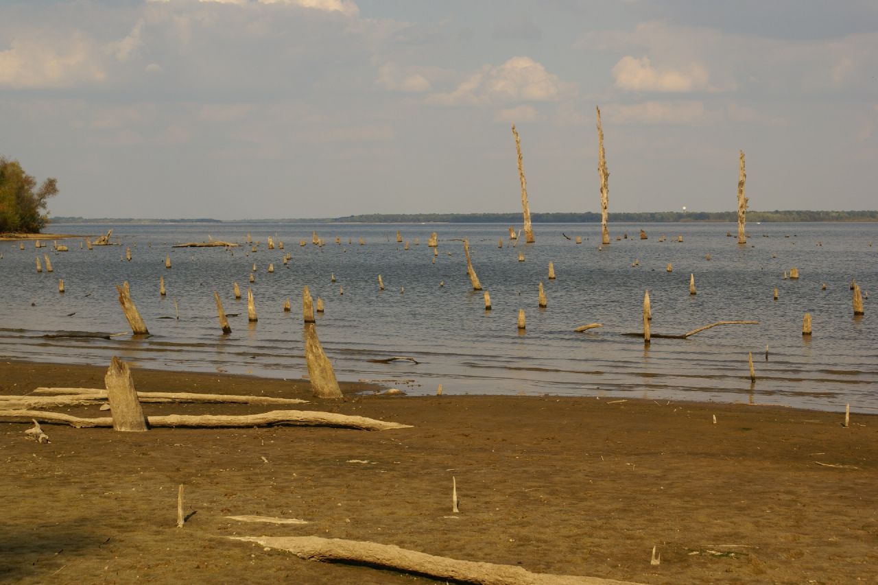
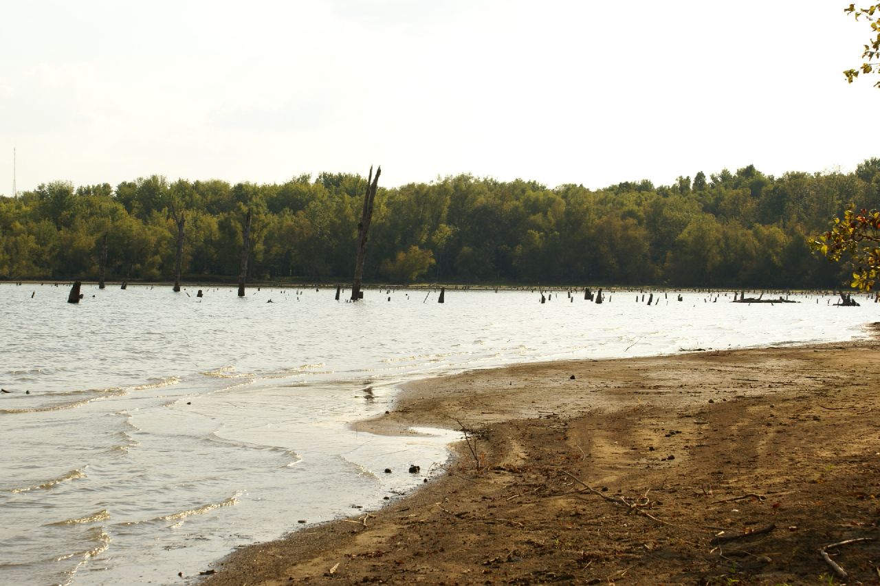
Rend Lake

Crowd at Sunset
2007-10-07-Benton_RendLake-36
2007-10-07-Benton_RendLake-45
2015RendPlunge-WS470
2007-10-07-Benton_RendLake-1
2007-10-07-Benton_RendLake-15
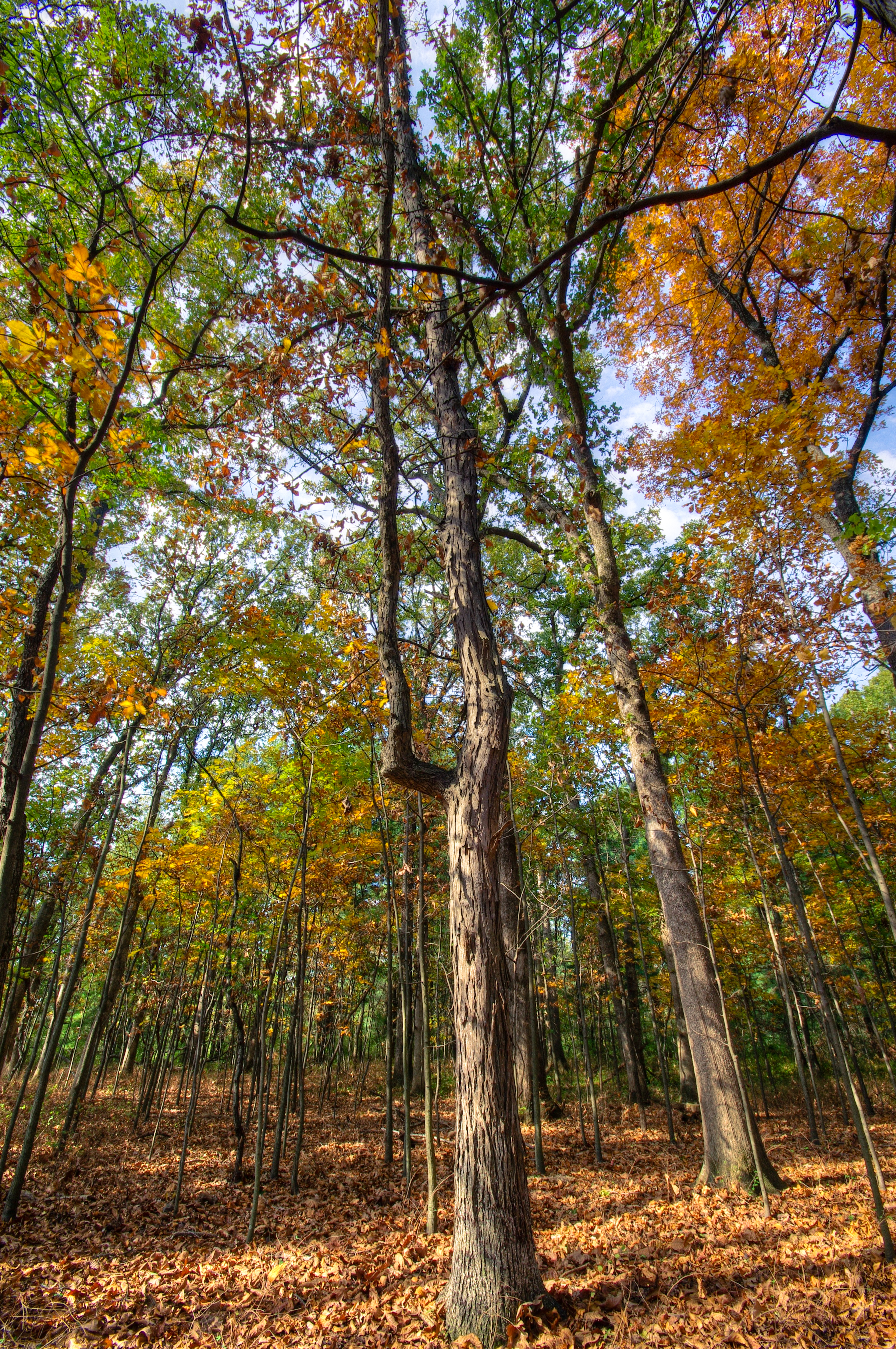
The Woods
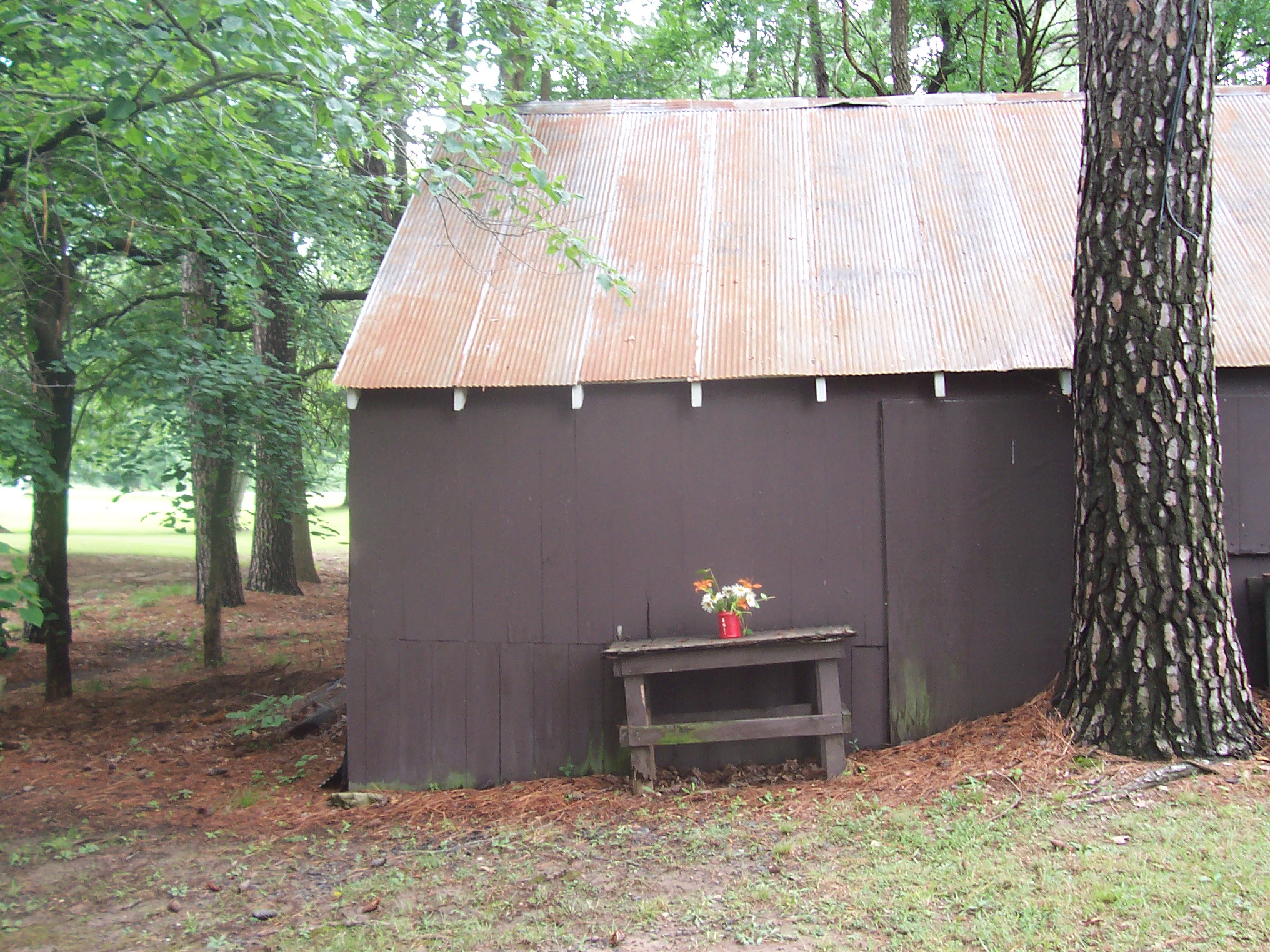
Floral Arangment

Blackberry Trail

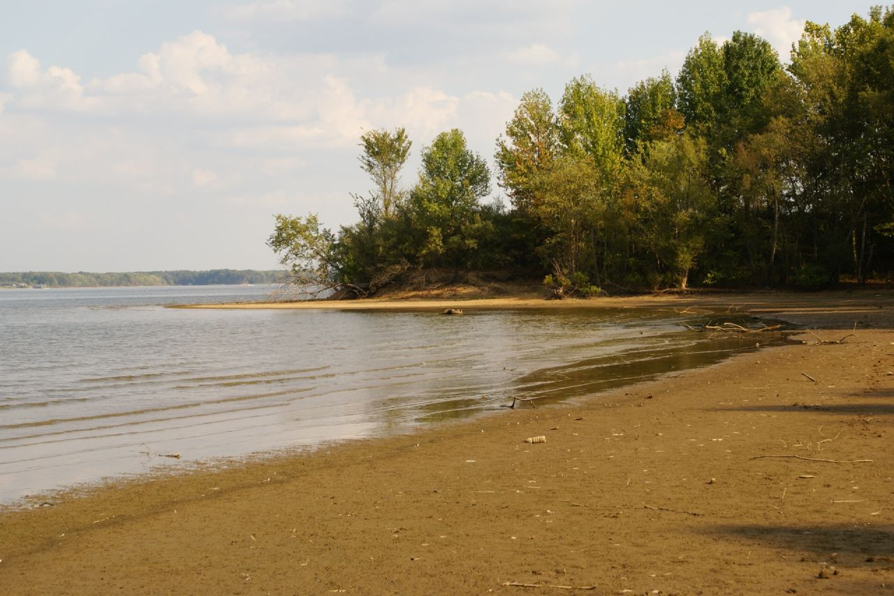
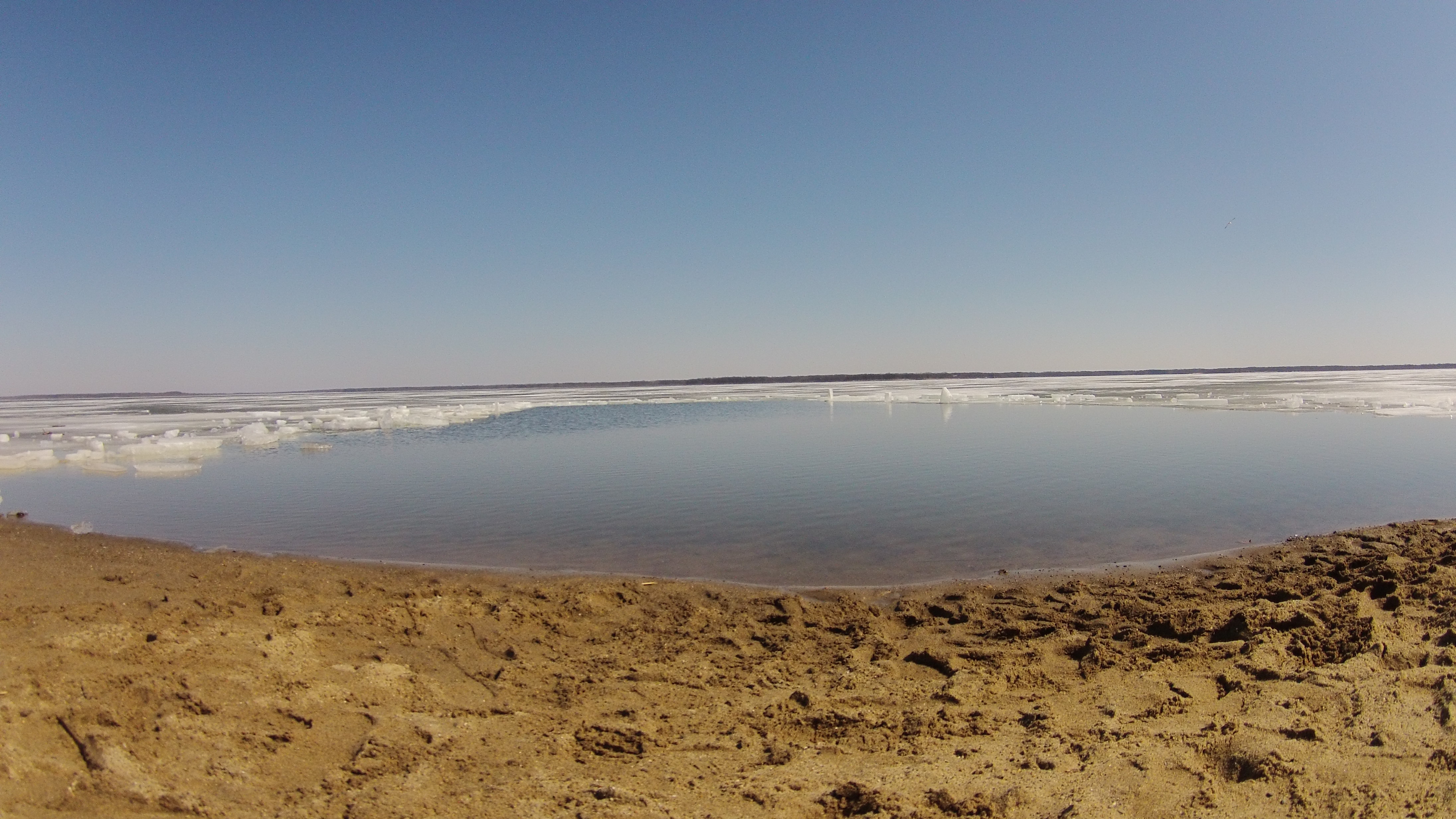
Rend Lake in Illinois
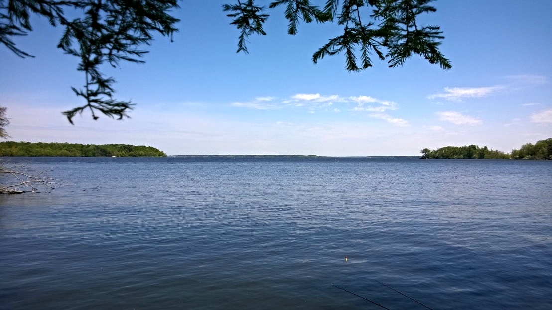
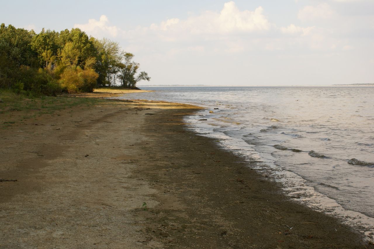
Rend Lake in Illinois

Sunset in a Small Town

And tomorrow should be a nice day.
Topographic Map of Gelston St, Valier, IL, USA
Find elevation by address:

Places near Gelston St, Valier, IL, USA:
Valier
4th St, Benton, IL, USA
Main St, Coello, IL, USA
801 N Victor St
N Garrison St, Christopher, IL, USA
Christopher
E Market St, Christopher, IL, USA
Browning Township
Tyrone Township
IL-37, Benton, IL, USA
Benton
IL-, Scheller, IL, USA
13257 Il-37
1405 Vale St
Franklin County
1501 Oliver St
1501 Oliver St
1501 Oliver St
Oliver Street
708 N Stuyvesant St
Recent Searches:
- Elevation of Tenjo, Cundinamarca, Colombia
- Elevation of Côte-des-Neiges, Montreal, QC H4A 3J6, Canada
- Elevation of Bobcat Dr, Helena, MT, USA
- Elevation of Zu den Ihlowbergen, Althüttendorf, Germany
- Elevation of Badaber, Peshawar, Khyber Pakhtunkhwa, Pakistan
- Elevation of SE Heron Loop, Lincoln City, OR, USA
- Elevation of Slanický ostrov, 01 Námestovo, Slovakia
- Elevation of Spaceport America, Co Rd A, Truth or Consequences, NM, USA
- Elevation of Warwick, RI, USA
- Elevation of Fern Rd, Whitmore, CA, USA