Elevation of E Jefferson Pl, Nason, IL, USA
Location: United States > Illinois > Jefferson County > Elk Prairie Township > Nason >
Longitude: -88.967667
Latitude: 38.1763006
Elevation: 132m / 433feet
Barometric Pressure: 100KPa
Elevation Map:
Satellite Map:
Related Photos:
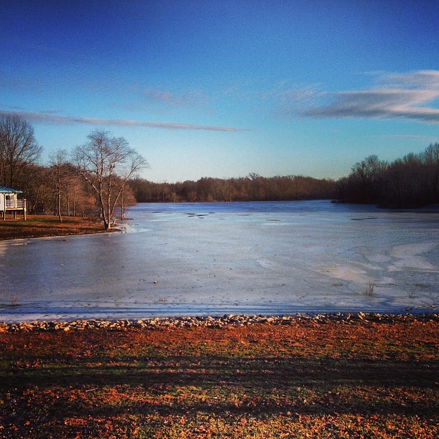
View outside our cabin at Rend Lake
ROAD TRIP
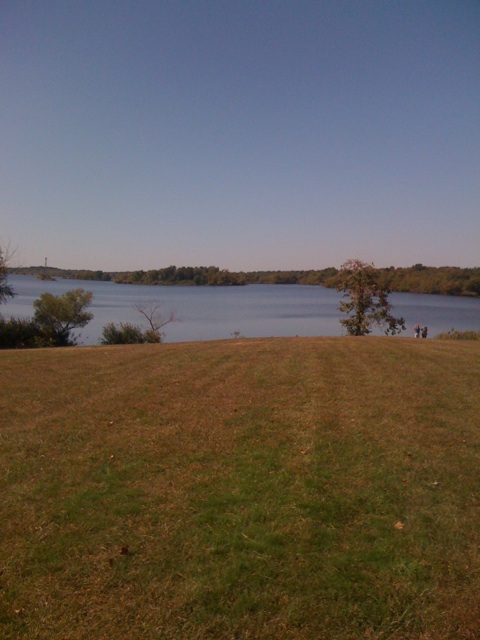
View from a rest stop

Rend Lake rendering
What we saw on our Thanksgiving trot

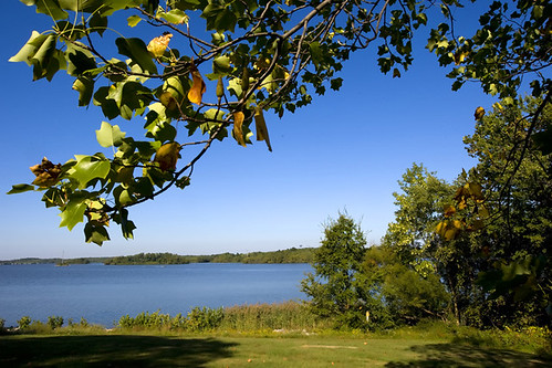
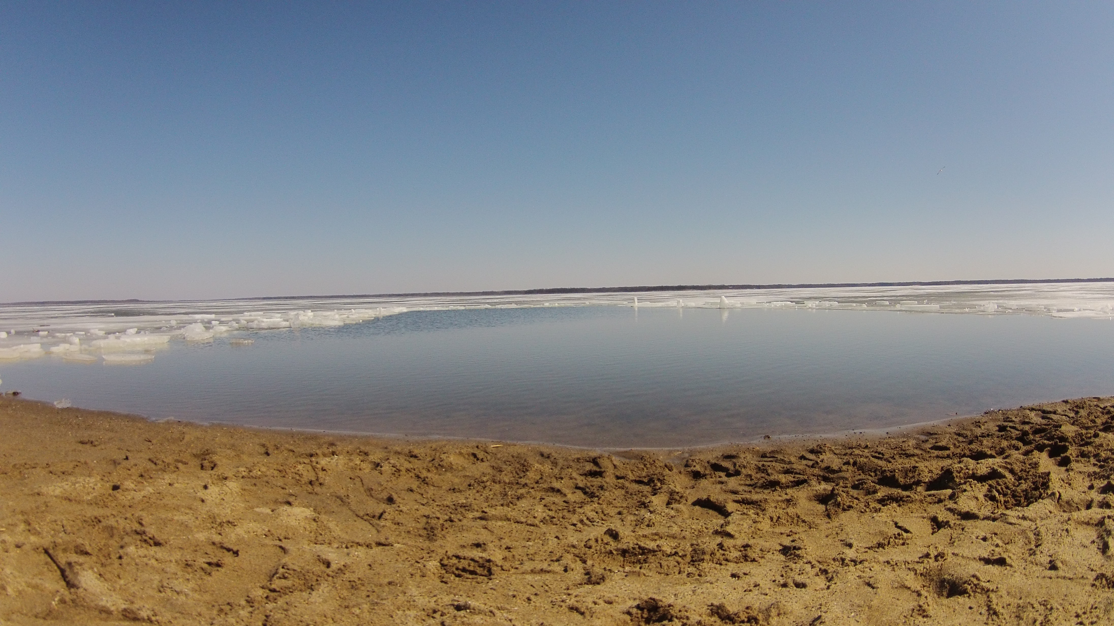
Rend Lake in Illinois
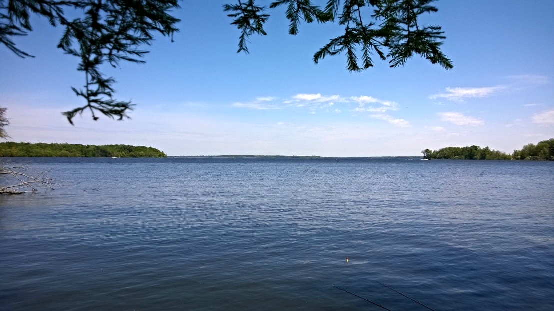
Rend Lake in Illinois

And tomorrow should be a nice day.

619.jpg

602.jpg

Ben & Jenna's Wedding

August 18, 2012
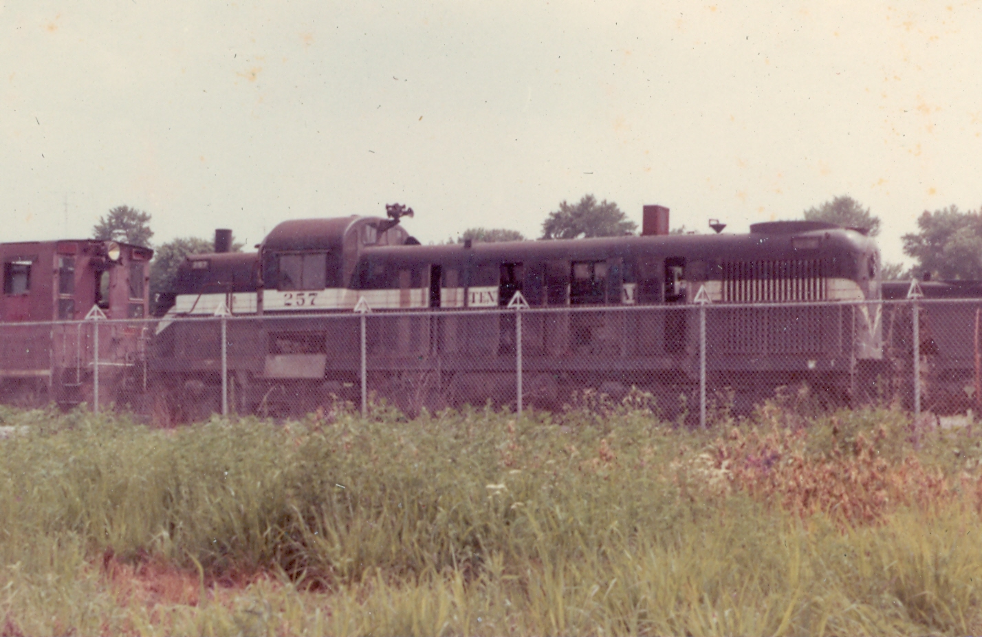
Tennessee Central 257 6-69

August 18, 2012
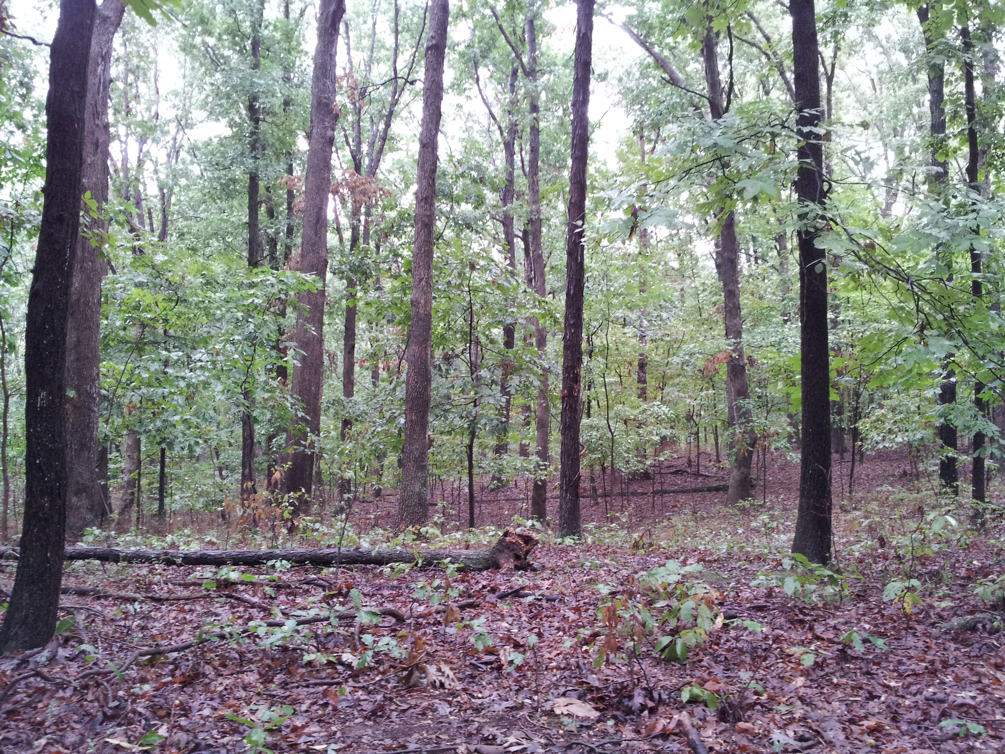
Blackberry Trail
Possibility #58: Penelope at Rend Lake 07272014
Blackberry Trail

Beautiful light on the drive back to Carbondale today. #southernillinois #sky #nofilter #landscape

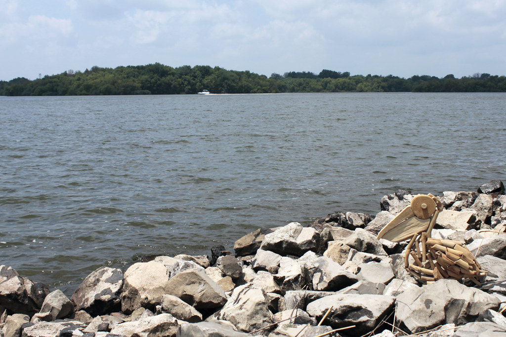
Rend Lake

Crowd at Sunset
2015RendPlunge-WS470
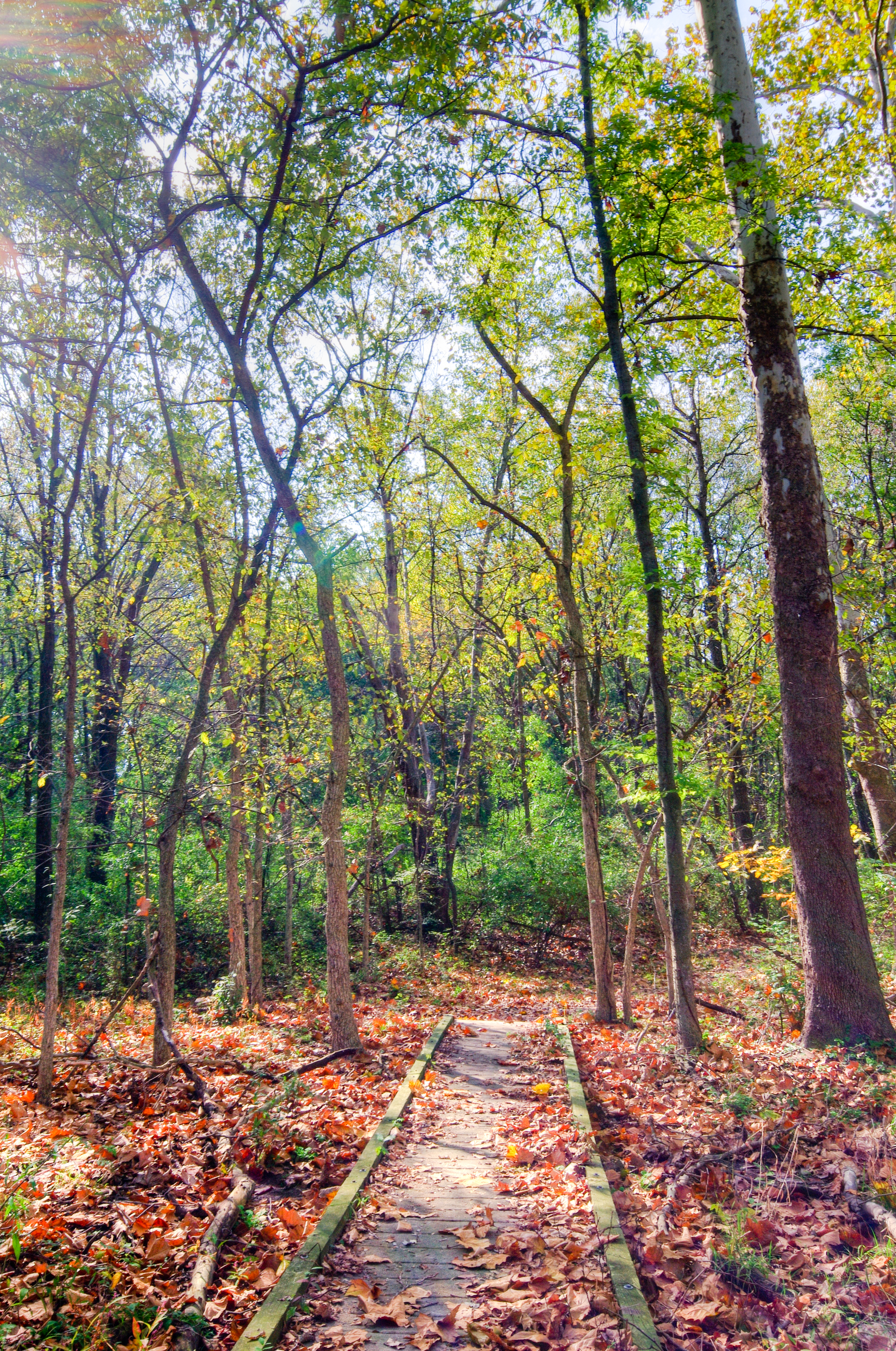
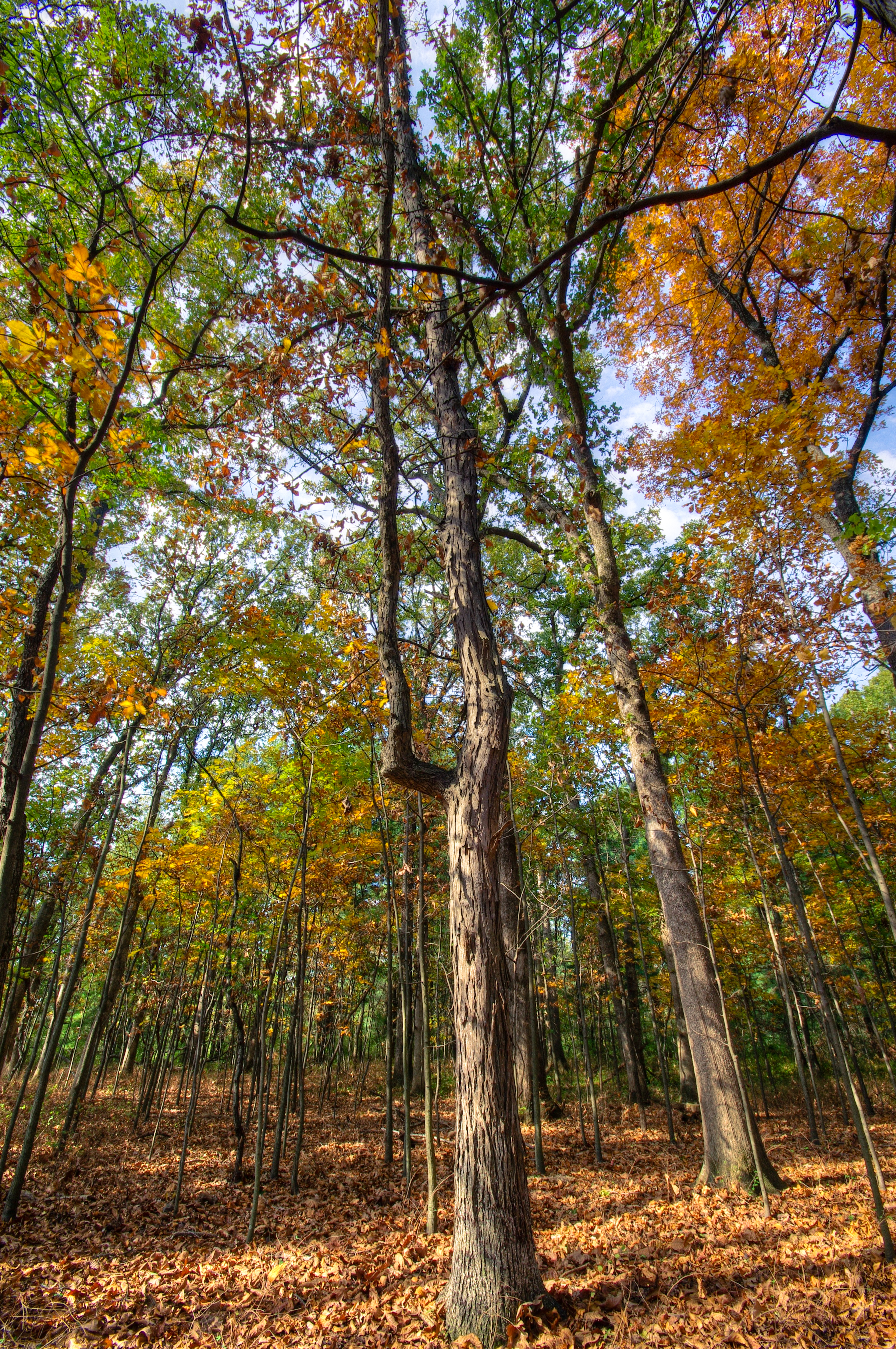
The Woods
Topographic Map of E Jefferson Pl, Nason, IL, USA
Find elevation by address:

Places near E Jefferson Pl, Nason, IL, USA:
Nason
Elk Prairie Township
203 N Oak St
Ina
W 3rd St, Bonnie, IL, USA
Bonnie
Main St, Waltonville, IL, USA
Waltonville
Mcclellan Township
Spring Garden Township
IL-, Scheller, IL, USA
N Nason Ln, Mt Vernon, IL, USA
Bald Hill Township
Dodds Township
E Ina Rd, Ina, IL, USA
Jefferson County
E Bethel Rd, Mt Vernon, IL, USA
Scheller
13257 Il-37
1204 Plum Ave
Recent Searches:
- Elevation of Spaceport America, Co Rd A, Truth or Consequences, NM, USA
- Elevation of Warwick, RI, USA
- Elevation of Fern Rd, Whitmore, CA, USA
- Elevation of 62 Abbey St, Marshfield, MA, USA
- Elevation of Fernwood, Bradenton, FL, USA
- Elevation of Felindre, Swansea SA5 7LU, UK
- Elevation of Leyte Industrial Development Estate, Isabel, Leyte, Philippines
- Elevation of W Granada St, Tampa, FL, USA
- Elevation of Pykes Down, Ivybridge PL21 0BY, UK
- Elevation of Jalan Senandin, Lutong, Miri, Sarawak, Malaysia