Elevation of Bald Hill Township, IL, USA
Location: United States > Illinois > Jefferson County >
Longitude: -89.075249
Latitude: 38.16523
Elevation: 152m / 499feet
Barometric Pressure: 100KPa
Elevation Map:
Satellite Map:
Related Photos:
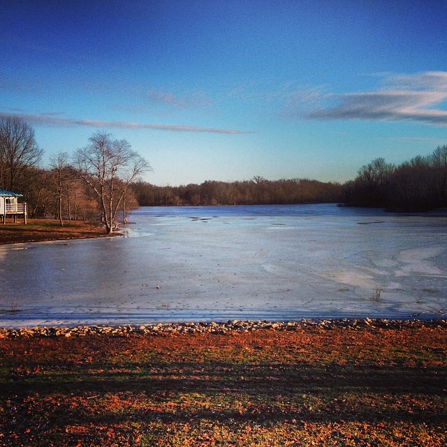
View outside our cabin at Rend Lake
ROAD TRIP
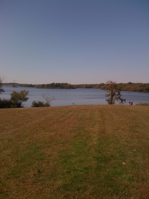
View from a rest stop

And tomorrow should be a nice day.

Rend Lake rendering

August 18, 2012

August 18, 2012
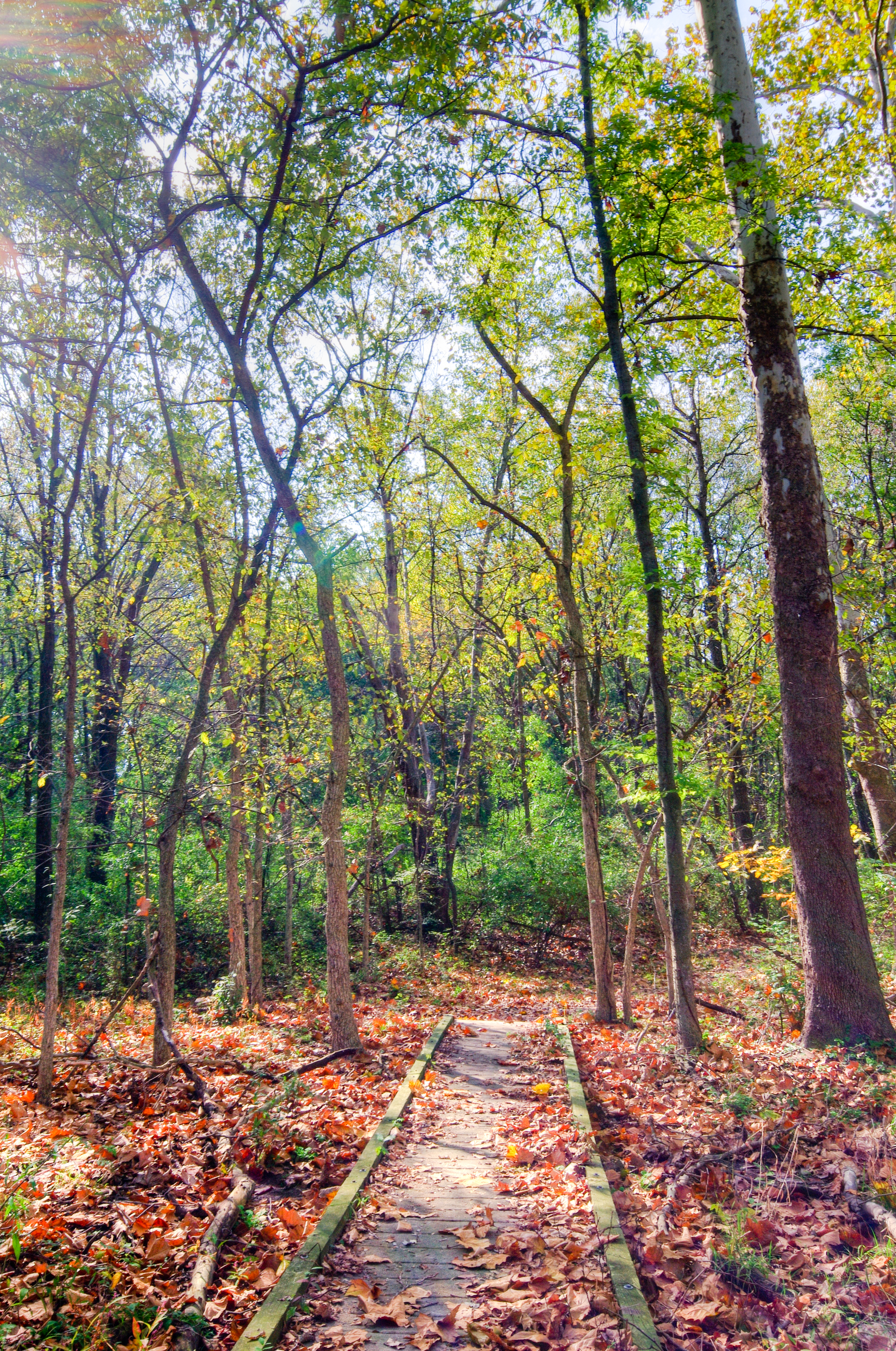
Blackberry Trail
Possibility #58: Penelope at Rend Lake 07272014
Blackberry Trail

Beautiful light on the drive back to Carbondale today. #southernillinois #sky #nofilter #landscape
2015RendPlunge-WS470

Blackberry Trail

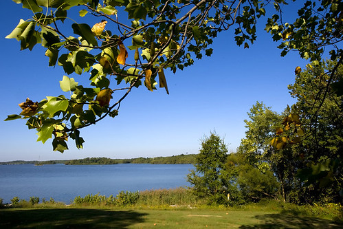
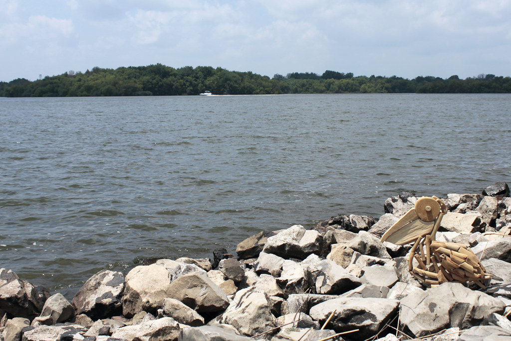
Rend Lake in Illinois
Rend Lake in Illinois
MOGA 2011 261.JPG
MOGA 2011 258.JPG
MOGA 2011 229.JPG

Ben & Jenna's Wedding
Topographic Map of Bald Hill Township, IL, USA
Find elevation by address:

Places in Bald Hill Township, IL, USA:
Places near Bald Hill Township, IL, USA:
Scheller
IL-, Scheller, IL, USA
Waltonville
Main St, Waltonville, IL, USA
Elk Prairie Township
E Jefferson Pl, Nason, IL, USA
Nason
Mcclellan Township
Du Bois Township
4th St, Benton, IL, USA
Du Bois
N Nason Ln, Mt Vernon, IL, USA
Gelston St, Valier, IL, USA
Valier
27 W Main St, Tamaroa, IL, USA
Tamaroa
N Panzier Ln, Woodlawn, IL, USA
203 N Oak St
Casner Township
Woodlawn
Recent Searches:
- Elevation of Vista Blvd, Sparks, NV, USA
- Elevation of 15th Ave SE, St. Petersburg, FL, USA
- Elevation of Beall Road, Beall Rd, Florida, USA
- Elevation of Leguwa, Nepal
- Elevation of County Rd, Enterprise, AL, USA
- Elevation of Kolchuginsky District, Vladimir Oblast, Russia
- Elevation of Shustino, Vladimir Oblast, Russia
- Elevation of Lampiasi St, Sarasota, FL, USA
- Elevation of Elwyn Dr, Roanoke Rapids, NC, USA
- Elevation of Congressional Dr, Stevensville, MD, USA